-
Posts
606 -
Joined
-
Last visited
Content Type
Profiles
Blogs
Forums
American Weather
Media Demo
Store
Gallery
Posts posted by WhiteLawns
-
-
3 minutes ago, weatherwiz said:
Thanks man!
-
 1
1
-
-
-
-
-
https://www.dropbox.com/s/gefjvb1n10zz2aq/Photo Jul 02%2C 5 30 41 PM.jpg?dl=0
https://www.dropbox.com/s/s5m639afycoh8jb/Photo Jul 03%2C 4 35 07 AM.jpg?dl=0
@CT Rainfor future reference you have my permission to use any photo on air or on social media that I post on this site with credit.
-
 1
1
-
-
15 hours ago, CT Rain said:
Can I share that on air with credit to you?
Sorry ryan. Didn’t see this. You can use it! Although it’s probably too late.
-
-
This season has been very lame so far.
-
I crossed the path of the cell that was tornado warned. No damage.
-
6 minutes ago, radiator said:
Is that photo using HDR?
It has that 'HDR feel' to it... I like it...
I haven't been to Mohawk Mountain since maybe 2017 or 2018 but I think that I know exactly where you took the photo from...
I just got the new iPhone. I think it utilizes hdr. The lighting was pretty surreal up there.
-
 1
1
-
-
-
 1
1
-
-
First tor warning of the day in central NY
-
Headed out to the amenia area! Gonna start by going to the top of Mohawk mtn in Cornwall.
-
 2
2
-
-
52 minutes ago, weatherwiz said:
For 45% damaging wind probs the wind probabilities in the watches aren't particularly high...
Do you think watches will be put up for Litchfield county?
-
Def the worst pain I’ve had. Thank you. Improving everyday. Albeit slowly
-
6 minutes ago, weatherwiz said:
In a nutshell this is what you want to look for
1) Lift (cold front or pre-frontal trough for example)
2) Rich low-level moisture (sfc dewpoints > 60-65 and sufficient moisture through the lowest 5,000-7,000 feet)
3) Instability (to fuel thunderstorms)
4) Wind shear (to help with updraft strength and organization)
There are plenty of links I can send along later. There are plenty of parameters which can be assessed when determining the potential for convection and severe convection. While parameters are certainly helpful to look at and can give a great idea, everything needs to be factored together. Perhaps one of the more overlooked aspects of convective forecasting involves your lift/forcing. You can have 5,000 J/KG of CAPE but if your lift/shear suck it's going to be tough to get widespread severe weather. Meanwhile, you can have 1200 J/KG and tons of shear and get significant events.
Thank you sir! I just want to have a better understanding of the forces at play. I hurt my back so all I’ve been doing for the last two weeks is trying to learn stuff to distract me from the pain lol.
-
 1
1
-
-
@CT Rain @weatherwizcan you point me in the direction of some links or books that explain the development of severe storms/supercells/tornados?
-
14 minutes ago, tavwtby said:
about 2-2.5" out there, took a ride to Waterbury and the front came through as I was on 8, crazy near white out on the way down, lightened up considerably now, but still snow whipped by the wind
Wow I think we’ll barely crack an inch. Congrats lol.
-
Ummm. No returns over me and this is the best snow I’ve gotten out of this storm...
-
-
Bout an hour or so and it looks like we dryslot?
-
3 minutes ago, tavwtby said:
yessir.. sitting at 34/33 and drizzle currently, I have a feeling I may be just a bit east for the real good stuff, think that'll be more norfolk west
Always is lol. Icebox
-
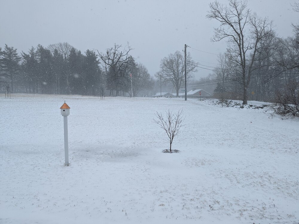
We have like 3 on the driveway here in the torrington area.
-
 1
1
-
-
Radar looks like it’s getting really showery out to the west.


Severe Weather Threat Week...so many threats!!!
in New England
Posted