

eyewall
-
Posts
13,328 -
Joined
-
Last visited
Content Type
Profiles
Blogs
Forums
American Weather
Media Demo
Store
Gallery
Everything posted by eyewall
-
Yeah we have to be realistic and say that this most recent event is likely the last for the year in terms of snow. I expect an early spring in February.
-
This sucks to miss it because it is the last chance this season! Enjoy!
-
New Orleans is going to smoke Raleigh on the season
-
Jacksonville in play to exceed Raleigh's season snow total to date
-
I have no doubt you all will get the big one next week. I won't be here so I will miss it. That is how I know. It will sting pretty bad for sure but it is what it is.
-
Lock it in because I will be away.
-
1/10-11 super awesome winter SE OBS thread
eyewall replied to strongwxnc's topic in Southeastern States
One more catching the light: -
1/10-11 super awesome winter SE OBS thread
eyewall replied to strongwxnc's topic in Southeastern States
The scene at sunrise in Raleigh- 510 replies
-
- 19
-

-
1/10-11 super awesome winter SE OBS thread
eyewall replied to strongwxnc's topic in Southeastern States
I am waiting for it to get light enough to take drone shots of the icy trees -
1/10-11 super awesome winter SE OBS thread
eyewall replied to strongwxnc's topic in Southeastern States
Definitely had a solid amount of ice overnight with the trees looking quite glassy. -
1/10-11 super awesome winter SE OBS thread
eyewall replied to strongwxnc's topic in Southeastern States
I am with you there. Ultimately a let down. I was hoping to see the grass at least get buried. -
1/10-11 super awesome winter SE OBS thread
eyewall replied to strongwxnc's topic in Southeastern States
Yep with southerly flow we were cooked quickly -
We did the bare minimum in Raleigh to break the streak. We had about 0.3 to 0.5 inches of snow/sleet depending on the surface here. Definitely even underperformed even the 1 inch forecast. ZR now.
-
1/10-11 super awesome winter SE OBS thread
eyewall replied to strongwxnc's topic in Southeastern States
We got essentially the bare minimum to break the streak without around 0.3 inches to 0.5 inches of snow/sleet. -
1/10-11 super awesome winter SE OBS thread
eyewall replied to strongwxnc's topic in Southeastern States
ZR in Raleigh -
1/10-11 super awesome winter SE OBS thread
eyewall replied to strongwxnc's topic in Southeastern States
And back to snow -
1/10-11 super awesome winter SE OBS thread
eyewall replied to strongwxnc's topic in Southeastern States
https://fb.watch/x1tegkZe4G/ When it went to all snow in Raleigh (Streak over!) -
1/10-11 super awesome winter SE OBS thread
eyewall replied to strongwxnc's topic in Southeastern States
Back to mostly sleet in Raleigh. Definitely rate dependent. -
1/10-11 super awesome winter SE OBS thread
eyewall replied to strongwxnc's topic in Southeastern States
Almost all snow with big flakes in Raleigh now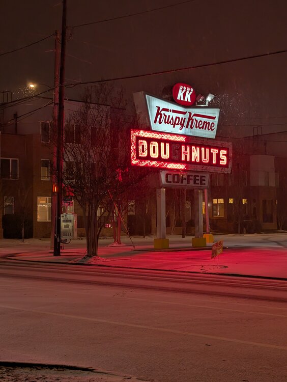
-
1/10-11 super awesome winter SE OBS thread
eyewall replied to strongwxnc's topic in Southeastern States
Roads completely covered. Almost all snow continues -
1/10-11 super awesome winter SE OBS thread
eyewall replied to strongwxnc's topic in Southeastern States
Almost all snow with big flakes in Raleigh now -
1/10-11 super awesome winter SE OBS thread
eyewall replied to strongwxnc's topic in Southeastern States
I suppose this counts for ending the Raleigh streak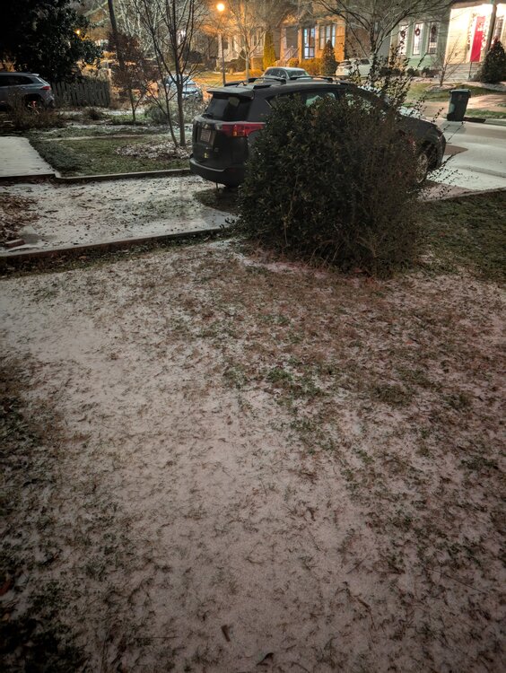
-
1/10-11 super awesome winter SE OBS thread
eyewall replied to strongwxnc's topic in Southeastern States
Drone footage I took of US64 near the Wake/Chatham line earlier: https://fb.watch/x1p7IGxihO/ -
1/10-11 super awesome winter SE OBS thread
eyewall replied to strongwxnc's topic in Southeastern States
The good news about a sleet mix with the snow is it makes your cover bullet proof. -
1/10-11 super awesome winter SE OBS thread
eyewall replied to strongwxnc's topic in Southeastern States
RDU should already have officially broken the streak as well. We have now just NE of downtown.


