

hardypalmguy
-
Posts
1,030 -
Joined
-
Last visited
Content Type
Profiles
Blogs
Forums
American Weather
Media Demo
Store
Gallery
Posts posted by hardypalmguy
-
-
10 minutes ago, Hoosier said:
Tuesday night-Wednesday morning looks like a decent candidate to not drop below 80 in Chicago. It will be partially dictated by Tuesday's high temp for an elevated starting point and would like to see a high of at least 95 on that day to raise the odds of not dropping below 80 that night.
925 mb temps are progged around 27C Tuesday night-Wednesday morning. I have noticed that it is tough to get nighttime lows much below the 925 mb temp in urban areas when there's a bit of a breeze, which we look to have. 27C is 80.6F, so it gives an idea of where the low could end up. Not a perfect system but an approximation.
If it does happen, the issue would be getting that temp to hold all through Wednesday, as it looks like a front will want to slip through late Wednesday or so.
As mentioned, Chicago's earliest 80 degree low is in late June... June 28 to be exact. So this would be almost a full 2 weeks earlier.
Let's do it. MKE too. MKE usually outperforms ORD on warm lows.
-
11 hours ago, Hoosier said:
Speaking of how record highs in summer have become harder to come by in the last decade or so, here's a breakdown of the number of record highs (including ties) by season for Chicago since 2013. For simplicity, I did this according to meteorological seasons.
While it's only one location, I suspect other areas in the sub would also have numbers favoring the seasons outside of met summer.
Met winter: 11
Met spring: 7
Met summer: 2
Met fall: 13
This speaks volumes to the feeling that fall has become warmer over the last 10 years.
-
1 hour ago, Baum said:
Another tough sky cover forecast for LOT. Forecasted Sunny skies opening up with stratus and fog. Par for the course in this early summer. I think they could save themselves a lot of headaches if they just went with a standard:
Today:
Variably Cloudy with a chance of showers.
I need the rays today as I was looking to build on my summer tan remulching the yard. Planned it for today based on the forecast.
time to go back to bed. 5:00 am to mulch is insane.
-
3 minutes ago, Powerball said:
Why would tomato plants be rotting out because of something they love?
Tomato plants love low 50s and rain?


-
7 minutes ago, madwx said:
really efficient rainfall rates this morning. Already pushing an inch with a few more hours of showers still to come. Want to bank up as much rainfall as possible in case the heat dome expands over us later this month
Today's rain is literally rotting out tomato plants. They love cold wet days.
-
Pushing mid June and still dealing with stratiform rain and mid 50s during the day.

Wisconsin is truly a horrible state.
-
 2
2
-
 1
1
-
-
.jpeg.a2db2c1a863d03454b87ad77bde4fef1.jpeg)
Crickets is right. The lack of thunder is very depressing. Probably akin to snow lovers watching it be 40 degrees and cloudy during the heart of winter.
.-
 2
2
-
-
9 minutes ago, Hoosier said:
Dewpoint has dropped to 29 at MKE.
Tropicals are not liking this dry air
-
1
-
-
30 minutes ago, cyclone77 said:
Looks like a tremendous stretch of weather for the next 8+ days. Mostly 70s with dews mostly in the 50s. That stretch of mid 90s and 100+ heat indices back in early May was enough to satisfy my appetite for heat for quite awhile.
I haven't even turned on the A/C yet this year. Need way more heat than that.
-
Cancel June
-
1
-
1
-
-
35 minutes ago, hawkeye_wx said:
Another minor light rain event this morning dropped 0.09". Today, the storms will redevelop well east and south of my area. I have officially made it through May with zero thunderstorms. My May rain total is 2.63" (avg is ~4.50").
I had zero Thunderstorms for May too. The thunderstorm drought the last several years has been real. I remember constant booming from storms when I was a kid.
-
Top shelf weather day. Got the rest of the tropicals in the ground. Now it’s time to pump the fertilizer and the water.
. -
2 hours ago, A-L-E-K said:
more like suckville right?

Who wants to live in Murder City down there?
-
Almost 2 inches of rain today so far and still coming down hard.
.-
2
-
-
Barely 50 degrees at end of May. Cold, stratiform rain. I think the weather on Christmas Day was warmer and better. Horrible climo.
-
2
-
-
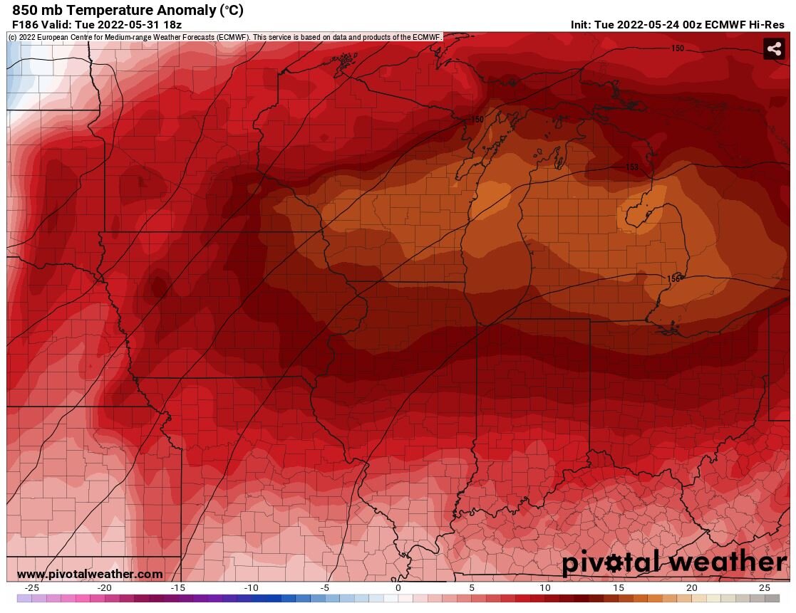
30 minutes ago, Hoosier said:
That was an inferno airmass aloft on the 00z Euro for part of next week. Didn't really translate to the surface though so must have a low based inversion or something, because those 850s with mixing to that level would normally easily yield 100+ temps.
Top shelf stuff. This is what I drool over.

-
1
-
-
36 minutes ago, A-L-E-K said:
upper 50s and low 60s with sun is great this time of year
too cold. need 70+ dews to feel nice
-
Nothing like 40s during the day at the end of May. Just to think -- only 1 month to solstice and it all goes to poop from there.
-
1
-
-
The dewpoints crashed from above 70 yesterday afternoon into the low 40s this afternoon. 87 was the high both yesterday and today, so no temperature change. Just went from tropical warmth to semi-arid warmth. It seems like the mid-Michigan backdoor dryline is a new climate feature as of late.
They actually had it marked as a cold front coming in from the sun east but it was a dry line. So weird.
. -
MKE down into the 50s! Sitting at 59F. Simply impressive pneumonia front causing issues at the lakeshore.
-
Pneumonia front hit MKE. 84 down to 64 in one hour with gusting NE wind.
-
2
-
-
37 minutes ago, Torchageddon said:
Woke up to dense overcast, gloomy. Not forecast and now there is blow-off from the cells over N MI
 . In a turn of events, TWN forecast had a huge jump in my highs for today and the next 3 days showing 30C tomorrow (!) and more humidity. Hourly depicts 11am the temp to soar to 29 by 4pm and stay that way til dusk. I would normally be thrilled but this damn overcast. Next week they lowered my highs a tad when guidance was going to other way. Then with the overcast it shows currently mainly sunny. I should just disregard everything once more if they can't even get that right.
Toronto must be a brutal place in spring if you like warmth. You get a lake breeze off Lake Ontario with winds just north of east all the way to southwest. And then you get effects from Lake Huron with west to northwest winds. You pretty much need a perfect west-southwest fetch to get any notable warm air up there.
-
1
-
-
7 minutes ago, beavis1729 said:
Assuming it holds through midnight (which should be no problem), ORD and RFD both shattered their warmest min on record for so early in the season.
Low temps this morning, May 11th:
- ORD 74; previous earliest low temp this warm was 74 on 5/19/1911.
- RFD 72; previous earliest low temp this warm was 72 on 5/18/1996.
Meanwhile, it has been very cold out west. West Yellowstone MT dropped to 7 yesterday morning, and Eureka CA (right on the coast) dropped to 37.
Finally. The west always seems to hold the ridges and heat while we freeze in the Great Lakes.
-
77/72 on the Vantage Vue. Already way warmer than yesterday and way higher than my forecasted high today.
June 2022 General Discussion
in Lakes/Ohio Valley
Posted
Palm tree weather incoming. Get those coconuts planted.