

tuanis
-
Posts
753 -
Joined
-
Last visited
Content Type
Profiles
Blogs
Forums
American Weather
Media Demo
Store
Gallery
Posts posted by tuanis
-
-
Steady moderate snow for the past 45 mins or so. Best rates of the event so far.
-
 1
1
-
-
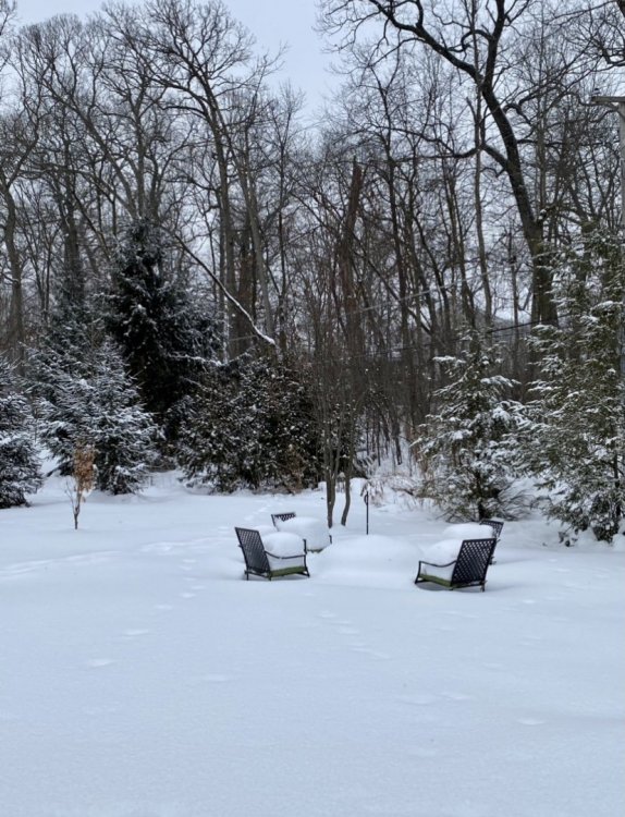
Classic looking dendrites. Deep snow is deep. Real deal winter.

-
6
-
-
Nice lookin steady light snow in an arctic airmass with a deep base. Nice to wake up to on a weekend morning. Good stuff.
-
Anyone seen any snow reports from northern Cook north of Evanston? Based on this afternoon's radar and the update above I'd guess 3"-4".
Lake plume is finally beginning to shift north into Lake County. Let's see how transient it is. Yesterday's 3K NAM had a good read on the movement of the plume today. -
1 minute ago, RCNYILWX said:
Think the heavier bursts are enhancement of the LES due to aircraft seeding.
Sent from my SM-G965U using Tapatalk
Can make it out clearly on COD radar. Pretty sweet looking.
-
1
-
-
LOT popped off the advisory for Central Cook, Northern Cook, DuPage, and Lake for 2"-4"
-
1
-
-
39 minutes ago, Baum said:
BUT AREAS NORTH OF I-88 COULD SEE
1-2" DEPENDING ON THE DURATION OF THE BETTER FORCING AND HIGHER
SNOW RATIO SNOW PRODUCTION. THE ONE UNCERTAINTY WILL BE ANY
ADDITIONAL LAKE ENHANCEMENT IN LAKE IL AND COOK IL COUNTIES WHERE
ADDITIONAL LAKE/LAND WIND CONVERGENCE MAY REINVIGORATE NEARSHORE
TOTALS TOWARD THAT HIGHER PORTION OF THE RANGE.Sounds reasonable. Lake band is looking a bit more impressive. Imagine the Winnetka/Wilmette area has picked up an inch or two.
Flurries have commenced here. -
7 minutes ago, McHenrySnow said:
I hope this one is ours, after missing out on the others. I've been jealous of all the fluff further south piling up this week!
Thinking MSN to MKE is in a good spot for a few fluffy inches. Should be a decent refresher down here, hoping for a boost from the lake. Would like to see the lake band move overhead and beef up as returns move in this afternoon/evening.
-
1
-
-
EarthCam from the Field is a fun watch rn. Thinking we won’t see the goods up here until the afternoon.
-
1
-
-
Just now, A-L-E-K said:
yeah downtown cams look high quality now, lol
definitely feel comfortable about an inch or two imby
agree on the jackport area, @tuanis gonna do well i bet
Bright and sunny morning here. Bring it.
-
1
-
-
6 minutes ago, purduewx80 said:
Almost wondering about advisory type snows right along the shore and maybe a mile or two inland. There’s a weak wave passing which may help seed it too.
12Z 3K NAM parks a decent looking band over northern Cook and Lake (IL) for several hours tomorrow. As always, hard to say if much will come out of it. Other hires models don't back it as far west.
-
1
-
-
1 hour ago, StormChaser4Life said:
The winter of the I80 north jackpot continues. Hoping we can see a trend south but not counting on it.
Sorry to say I-80 is a dividing line for multiple storms pretty much every winter.
-
That’s a solid looking band. Should lead to some surprises.
-
1
-
-
Decent light snow atm, flake size is definitely bigger than pixies, but the band looks transient
-
36 minutes ago, Baum said:
board's asleep but our first fluff maker is in bound
Thread would be bumpin just a few weeks ago
-
 1
1
-
-
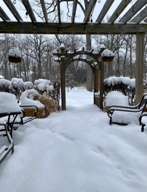
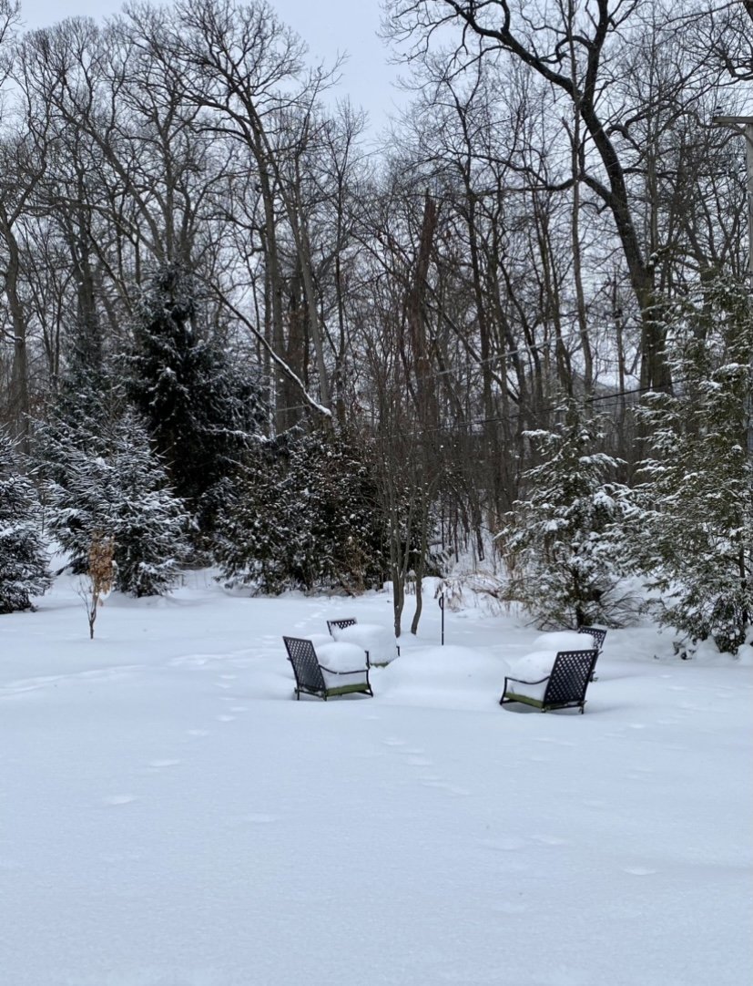
Topped it off as the arctic front was blowing in
-
28
-
-
14 minutes ago, cyclone77 said:
It looks like a legit blizzard with this last band. Enough snow had fallen, and with the heavy falling snow it's pretty gnarly out there. Hit a few spots on the way home where it was a complete whiteout, and the falling snow was quite light at the time. Can only imagine how bad it is right about now out there.

Gotta love an arctic front
-
Was using my iPhone to record one of the heavier bands about 30 mins ago and think I may have captured the only flash of lightning I've seen today. I noticed it with my eyes first and the video backed my brain up. It's subtle and nothing showed up on radar, but but take a look. About 33 seconds in after the video flips to slo-mo and pans up to the sky. Apologize for the portrait video, total rookie move. The lamp reflection is pretty tacky too. YouTube is supposedly still processing the HD version (not that it will make much of a difference).
-
5
-
-
8 minutes ago, Hoosier said:
After the heavy snow tapered off, I noticed some melting on parts of the pavement. I think with getting later in the day and heading toward sunset, it will stick better on the pavement again even if it hangs a hair above freezing and rates aren't quite as heavy as early on.
This. We'll get our best accumulations separate from the best rates. The showery/convective depiction on radar, melting during lulls, dripping from trees reminds me of a spring system. Sure won't feel like spring in a couple hours.
-
Maybe a half inch so far. Poor accumulation rates, but fun to watch the big flakes fall for sure. It’ll stick better as the afternoon progresses. Front looks to be approaching the I-39 corridor over the next hour or so. It cleared DVN about an hour and a half ago.
-
Area of subsidence passed through quickly, back to the fatty fiesta.
-
Big fatties
-
4 minutes ago, vortex said:
Coming down good.
Should have no problem accumulating with rates like that. Did temps drop with dynamic cooling?
-
HRRR seems pretty spot on with the heaviest amounts in that area/Dubuque area up through NE Wisconsin/UP.


Feb 12-14th V-Day Weekend Potential Stuff
in Lakes/Ohio Valley
Posted
Sun emerged and the cloud deck cleared quickly behind the last band. Almost felt like a MCS clearing the area, except it was like 6 degrees and there’s a foot and a half of snow on the ground.