

tuanis
-
Posts
741 -
Joined
-
Last visited
Content Type
Profiles
Blogs
Forums
American Weather
Media Demo
Store
Gallery
Posts posted by tuanis
-
-
18 hours ago, madwx said:
after a brief colder shot early next week there are signs that the middle and end of next week could get downright mild, with 50s and 60s getting at least into southern Wisconsin
Willing to bet the back door will shut down those kinds of temps. We'll see.
I'm just glad the melt looks to be gradual to avert flooding situations.-
 2
2
-
-
Feels glorious out there
-
Dry slot fail
-
1
-
-
3 minutes ago, mimillman said:
Honestly folks radar doesn't look bad for SN next few hours
Still solid here in the lulls. 1.5” accumulated quickly.
-
That was legit!
-
Fluffy Floaty Fatties™ coming down at a solid clip. Everything nicely covered once again.
-
6 hours ago, Baum said:
a chance to increase snow pack before some melting ensues. Guessing this will be peak.
Think we peaked yesterday (Tuesday). MDW compacted by 3” between Tuesday and Wednesday, and with warmer temps on the way (at last) and the late Feb sun, we’ll lose a few more. Regardless, what a month!
-
Puking snow now. Took a bit to get there. Let ‘er rip.
-
First flakes falling. Not expecting much til tomorrow evening. I’m calling 6” here but it could go either way. Hope the lake surprises.
-
1 minute ago, janetjanet998 said:
what is the official snow depth at ORD?
I assume the correct current number is higher then 13??
The fluff settles/sublimates quick. I doubt it’s much more than that.
-
1 hour ago, RCNYILWX said:

This one really brings me back to my younger days and trying to descramble Skinimax.
The trend is our friend for Monday’s storm. Keep it coming.
-
2
-
 4
4
-
-
35 minutes ago, cutlew said:
It really did, could’ve sworn it was 10 degrees colder and just a much crisper feel to the air once the sun came out vs. a few hours earlier
Very distinct sun pillar from suspended ice crystals above the setting sun about an hour later too. Even my wife commented on it.
-
Sun emerged and the cloud deck cleared quickly behind the last band. Almost felt like a MCS clearing the area, except it was like 6 degrees and there’s a foot and a half of snow on the ground.

-
3
-
-
Steady moderate snow for the past 45 mins or so. Best rates of the event so far.
-
1
-
-
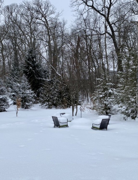
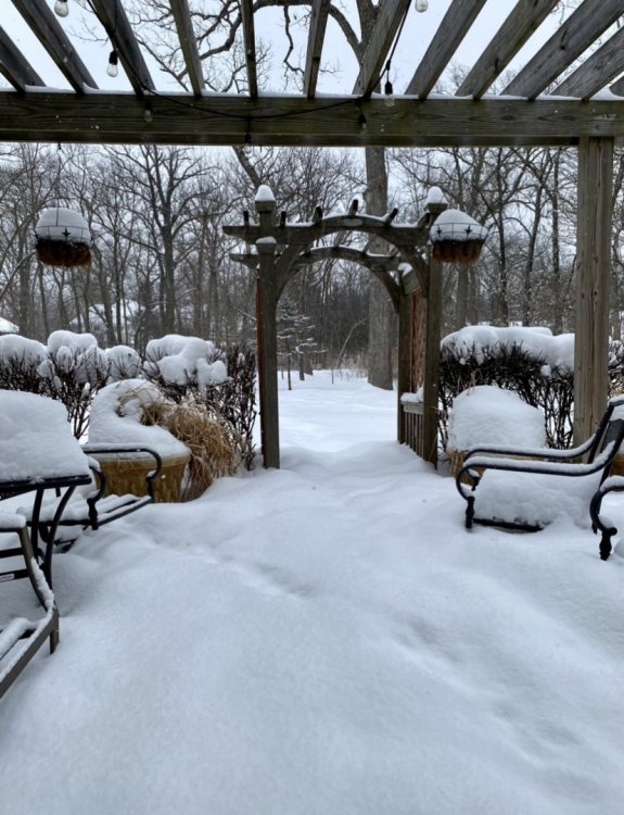
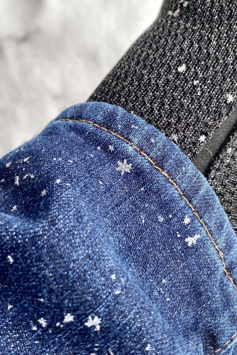
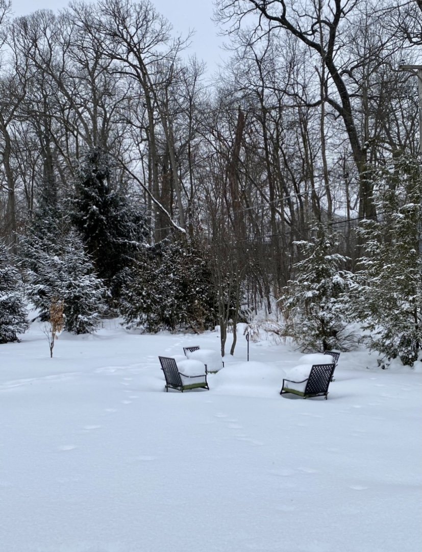
Classic looking dendrites. Deep snow is deep. Real deal winter.

-
6
-
-
Nice lookin steady light snow in an arctic airmass with a deep base. Nice to wake up to on a weekend morning. Good stuff.
-
Anyone seen any snow reports from northern Cook north of Evanston? Based on this afternoon's radar and the update above I'd guess 3"-4".
Lake plume is finally beginning to shift north into Lake County. Let's see how transient it is. Yesterday's 3K NAM had a good read on the movement of the plume today. -
1 minute ago, RCNYILWX said:
Think the heavier bursts are enhancement of the LES due to aircraft seeding.
Sent from my SM-G965U using Tapatalk
Can make it out clearly on COD radar. Pretty sweet looking.
-
1
-
-
LOT popped off the advisory for Central Cook, Northern Cook, DuPage, and Lake for 2"-4"
-
1
-
-
39 minutes ago, Baum said:
BUT AREAS NORTH OF I-88 COULD SEE
1-2" DEPENDING ON THE DURATION OF THE BETTER FORCING AND HIGHER
SNOW RATIO SNOW PRODUCTION. THE ONE UNCERTAINTY WILL BE ANY
ADDITIONAL LAKE ENHANCEMENT IN LAKE IL AND COOK IL COUNTIES WHERE
ADDITIONAL LAKE/LAND WIND CONVERGENCE MAY REINVIGORATE NEARSHORE
TOTALS TOWARD THAT HIGHER PORTION OF THE RANGE.Sounds reasonable. Lake band is looking a bit more impressive. Imagine the Winnetka/Wilmette area has picked up an inch or two.
Flurries have commenced here. -
7 minutes ago, McHenrySnow said:
I hope this one is ours, after missing out on the others. I've been jealous of all the fluff further south piling up this week!
Thinking MSN to MKE is in a good spot for a few fluffy inches. Should be a decent refresher down here, hoping for a boost from the lake. Would like to see the lake band move overhead and beef up as returns move in this afternoon/evening.
-
1
-
-
EarthCam from the Field is a fun watch rn. Thinking we won’t see the goods up here until the afternoon.
-
1
-
-
Just now, A-L-E-K said:
yeah downtown cams look high quality now, lol
definitely feel comfortable about an inch or two imby
agree on the jackport area, @tuanis gonna do well i bet
Bright and sunny morning here. Bring it.
-
1
-
-
6 minutes ago, purduewx80 said:
Almost wondering about advisory type snows right along the shore and maybe a mile or two inland. There’s a weak wave passing which may help seed it too.
12Z 3K NAM parks a decent looking band over northern Cook and Lake (IL) for several hours tomorrow. As always, hard to say if much will come out of it. Other hires models don't back it as far west.
-
1
-

Beware the Ides of March (and into the 16th)
in Lakes/Ohio Valley
Posted
About 1.5" with still a bit to fall. Pretty much as expected. Impressive rates for a little while.