

tuanis
-
Posts
741 -
Joined
-
Last visited
Content Type
Profiles
Blogs
Forums
American Weather
Media Demo
Store
Gallery
Posts posted by tuanis
-
-
1 hour ago, SolidIcewx said:
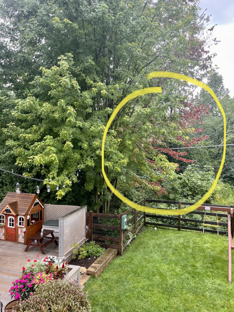
There are even a few maples, granted very few and far between that are turning a bit even in Columbus Ohio
The hybrid maples that are crossed with Silver Maple are changing around here a bit already. I have two big multi-trunk Freeman Maples in the backyard that a couple sections typically turn a deep red almost maroon in August while the rest of the tree is still green.

-
 4
4
-
-
This lightning is redic!
-
2
-
-
It looks like things are finally starting to turn progressive. I was pretty nervous about a flash flood situation there for a bit. Hope it continues trending progressive.
-
Power’s flashing here, we had some good wind for awhile, but probably not over 40 mph or so. Still…

-
12 minutes ago, Malacka11 said:
Who's trying to go?
People were lined up outside the building when I passed by at 8:45 this morning and the line was still out the door when I walked by at lunch. My coworkers gave it a unanimous "meh".
-
 2
2
-
-
12 minutes ago, A-L-E-K said:
lake enhanced outflow or something just rolled through
Grand opening of Shaq’s Big Chicken in Rosemont with some lake enhanced boundary clouds in the background. No Shaq in sight unfortunately.

-
3
-
-
17 minutes ago, A-L-E-K said:
miss south imby aside, should be a good stretch for the heart of the corn belt
While it favors south, thinking we pull some decent rains out of this pattern, even up here. Fingers crossed.
-
1
-
-
56 minutes ago, Chinook said:
Today is exactly why I want to drive or fly to Texas for the total eclipse next year, which will go through Ohio. There's like an 85% chance of clouds.
Looks pretty overcast over much of Texas today too
-
 1
1
-
-
Solid boomers, nice CTG stuff to ooh and aah at. The humidity bump today was noticeable, felt good.
-
Pea size hail, heavy heavy downpour,
zerominimal wind-
1
-
-
Blanket warnings for the Chicago metro. Velocity scans not showing much in the way of winds per the warning text. Definitely several pockets of hail, especially west of the Elgin area and north of Rockford.
Edit: even getting the "giant hail" depiction per hydrometeor classification near Machesney Park (Rockford area). Let's keep that stuff away from here please. -
This band means business up here. Quality stuff. Too bad this can’t last all night.
Sorry to hear this one’s a dud again in the city and close burbs. Tight gradient.
-
30 minutes ago, tuanis said:
Leaving work in Rosemont. White rain, 37 degrees. Looks and sounds like rain on the windshield.
No accumulation til Route 22, dropped to 32 (per my car) near Route 60. Closing in on an inch at home. Starting to stick to pavement and coming down pretty good.

-
5
-
-
Leaving work in Rosemont. White rain, 37 degrees. Looks and sounds like rain on the windshield.
-
1
-
-
Iowa City Pentacrest webcam looking pretty legit: https://osc.uiowa.edu/pentacrest-webcam
-
1
-
-
Temps looking too warm (again) in NE IL. It'll probably come down decent but won't add up to much even with the overnight timing. Thinking Alek's 3" call busts high and we end up with an inch or two of slop even up here. Better accumulations north of the border maxing out around 5" in central/southern WI. Remember when models were overloaded with moisture and painting feet of snow with this one?

Saturday overnight looks pretty marginal/craptastic as well. Oh well, at least it's been wet! -
Let's keep talking about Dallas in a winter storm thread when Dallas is a solid 650 miles away from any winter weather related to the event.
-
4
-
-
3 minutes ago, Powerball said:
who is someone that likes to see/track all kinds of active/extreme weather and a variety of it.
I'd argue Chicago sees a wider variety of active/extreme weather than Dallas. Minneapolis not as much.
-
1
-
-
13 minutes ago, OrdIowPitMsp said:
Flip the number of days above 100
Last year Dallas recorded 21 consecutive days over 100 and a total of 47 days over 100 for the year. That's absolute garbage.
Anyways, back to the impending event. I'm setting the expectation at 3 inches... and am certainly prepared to be disappointed (again). -
:: rides the NAM into the sunset ::
N IL will either suck cirrus or take it on the nose at this point... might as well go down with some hope.-
2
-
1
-
-
9 minutes ago, Powerball said:
The 18z HRRR is also stronger with the low, a bit warmer overall, and it backed off a bit with the snowfall amounts.
It's a solid 90 mile shift west with the main axis, at least in Indiana. Still puts out some impressive totals.
-
18z HRRR quite a bit further north with the low and precip shield vs. 12z, taking it over Indy instead of the Ohio River. Good news for the south burbs. With a track and deep low like that, you'd expect a broader area of precip in the cold sector, but it's 2023.
-
10 minutes ago, ILSNOW said:
Euro goes south


-
3
-
-
12 minutes ago, michsnowfreak said:
Seems like we say this every storm, but the lack of consensus getting closer to the event is ridiculous. How are the pros supposed to forecast this for John Q public who has no weather knowledge but will bash away if the forecast is wrong?
If anything, the models often seem to diverge or flip-flop as the event nears. I don't remember that always being the case, but maybe we're remembering things wrong? Is it the pattern? The marginal temps so often this season? The ENSO situation? Model updates? We're less than 48 hours from what could be a pretty high-impact event and it's anyone's guess what will happen. I get low-confidence forecasting, but this is practically NO confidence forecasting.
-
2
-


August 2023 General Discussion
in Lakes/Ohio Valley
Posted
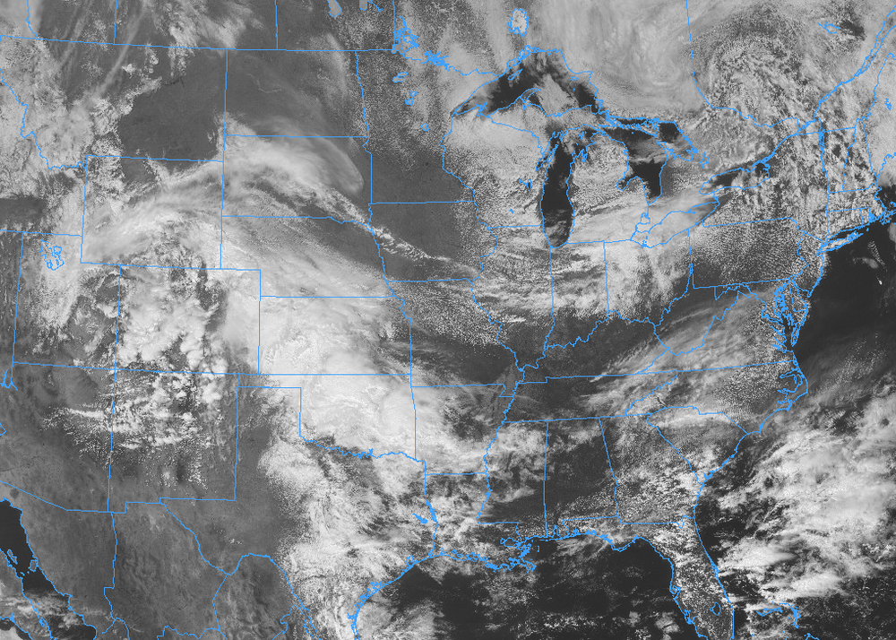
By far the heaviest rain of this system right now. This little cell is really putting out.