

WestMichigan
-
Posts
1,243 -
Joined
-
Last visited
Content Type
Profiles
Blogs
Forums
American Weather
Media Demo
Store
Gallery
Posts posted by WestMichigan
-
-
2 minutes ago, Powerball said:
Climo says don't get your hopes up for clear skies with the 2024 Solar Eclipse, at least up here.
2017 was really the best-case scenario possible.
Are you back in Michigan?
-
On a different note, this is looking better that it has in a very long time. Maybe we can reduce the possibility of torching this summer if this keeps up.

-
 1
1
-
-
6Z GFS is saying the SE trend is alive and well. The 6Z NAM has a different approach and the snow band goes more NE whereas the GFS doesn't cut as hard to the NW. The NAM 3kM is closer to the GFS solution. THE RAP AND HRRR are somewhere in between the two models. You would think being about 24 hours out there would be better consensus at this point....
-
9 hours ago, luckyweather said:
not in the sub but Alta in Utah just cracked 700” on the season and Mammoth (CA) is now over 800”. Absolutely incredible winter in the Wasatch and Sierras and it’s still got some wind left in it.
Those are some huge number but still a long way to go to catch Mt Baker's record in 1998-1999 with 1140" of snow.
-
Yeah, the overnight band saved us from a potential underperformer given the hype. The general area finished with about 4" give or take a little. Enough to put GRR at #3 all time. 6.8" more puts us at #2 overall. It is interesting that we have had more snow in March than January and February combined.
-
3
-
-
11 minutes ago, Lightning said:
What are the current numbers?
GRR has 105.2" for the year so far. Next up is 2007-2008 at 107" followed by 2013-2014 at 116" and finally 1951-1952 at 132".
-
8 hours ago, Harry said:
Where are the west Michigan homies at? LES looks decent Friday night into Saturday night.
It will be interesting to see if GRR can pick up enough to move up a spot into the 3rd snowiest winter.
-
13 hours ago, Harry said:
This goofy office will never learn with their 131 bs...
Regardless of them the LES setup looks decent around here. Can't wait for it to get fully into the Hrr range etc.
Yesterday morning they did throw you a bone.
In general, this looks to be a 1"-4" event
from U.S. 131 to the west, plus the addition of Calhoun County.
-
1
-
-
14 hours ago, Harry said:
What's the seasonal total at?
104.5" at GRR.
-
Another 2.5" and GRR is tied for their 3rd snowiest winter ever. Rather unbelievable stat given the roller coaster ride this winter has been.
-
 1
1
-
-
On 3/11/2023 at 3:58 PM, Harry said:
You and me both. GRR has had a habit of that as well with using mid storm total for final.
Official total here was 7.3 bringing the season total to 73.1. Grand Rapids area is above the 100 mark.
Before today's snow I believe GRR is sitting at #7 on the all time snowiest winter list. With all the melting in between you would never have guessed that. It has been a winter of a few significant events and very little snowcover overall.
-
1
-
-
6 minutes ago, frostfern said:
Would have ceased yesterday if I had my way. It looks like my snow magnet was cheap Amazon crap. Need to up my game.
You should know better than buy something built by the cheapest bidder.
-
 2
2
-
-
You can always tell when something is on the horizon. GRR is late with their afternoon updates.
-
1
-
-
I was hoping for a 977 low to cut a little more than this does. Oh well, looks like congrats Ann Arbor and Detroit is in order.
-
1
-
-
11 minutes ago, A-L-E-K said:
it's just the nam, they'll crash when the nam punts
Like I said it may be wrong, but at least it is consistent. I agree that the NAM may be off its rocker but since there has been a lot of complaining about model waffling I thought I would show one that wasn't.
-
 1
1
-
-
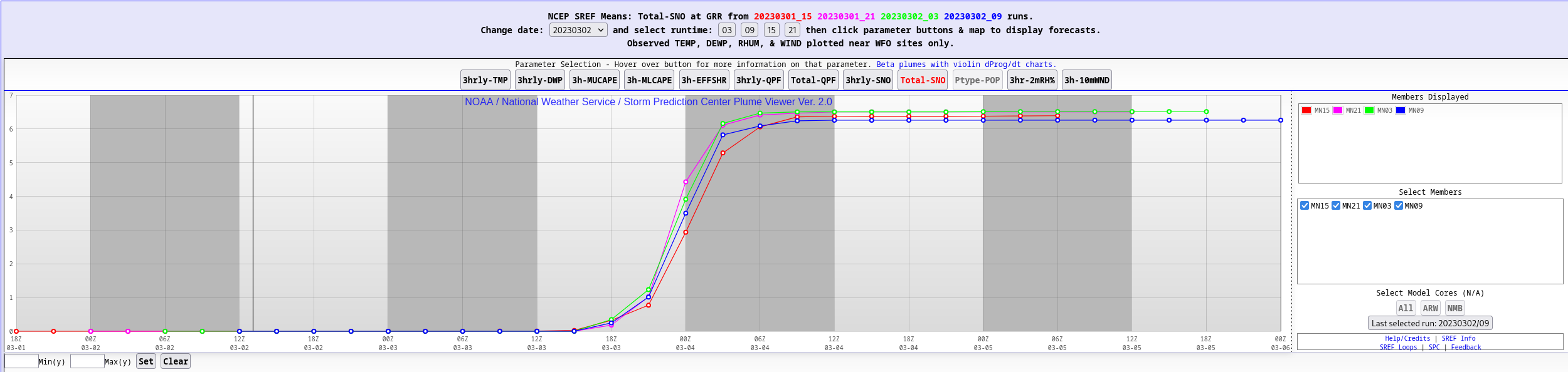
They might be wrong, but you can't complain about the consistency here. Unlike some other models, the SREF numbers aren't waffling at all.

-
17 minutes ago, Sciascia said:
24 people in here at 6am is fairly impressive. We’re like the older crowd waiting for a grocery store to open.
7am for those of us east of you.
-
1
-
-
GRR hoisted watches also and thinking 6”+. Grids have about 7” on Friday
-
RAP looks more like the NAM than the GFS.
-
I am torn, we have a shot at a top 15 winter for total snowfall but the snowcover has been abysmal. Some impressive storms but absolutely no staying power this winter. Probably a B/B- since we will probably end up with 90+ this season after the last snow flake falls sometime later in March/April.
-
1
-
-
Yeah, 1993 did a little better on the east side.
-
18Z NAM and RDPS paint two completely different pictures. One snowy and north the other weak and south. Split the difference and halve the NAM QPF is my guess right now.
-
2 hours ago, buckeye said:
Well at least we weren't the only ones with a brutal February futility record....so there's that I guess
 . Also JB is banging the "one of the coldest March's on record" bongos, so there's that

To me, and maybe it's my age, but what's worse then the lack of snow is winter dragging it's weak ass into march and April giving us below normal temps and periodic white rain....YET AGAIN
What about March 7-8, 2008?
-
GFS likes the area in MI that got hit the hardest with ice last week for the most snow this time.
-
1
-
 1
1
-
March 24-25 Palm Killer (Snow Event)
in Lakes/Ohio Valley
Posted
Please make the freezing rain go away. Glad someone is getting snow but the freezing rain needs to end.