
Anonmet_GSO
-
Posts
17 -
Joined
-
Last visited
Content Type
Profiles
Blogs
Forums
American Weather
Media Demo
Store
Gallery
Everything posted by Anonmet_GSO
-

The “I bring the mojo” Jan 30-Feb 1 potential winter storm
Anonmet_GSO replied to lilj4425's topic in Southeastern States
The correct name is WeatherNext 2 https://deepmind.google/science/weathernext/ -
The Trump Administration approved funding for the next generation NOAA weather forecasting system where the acronyms EPIC and ULS will become better known in the months to come. EPIC - Earth Prediction Innovation Center has released their Strategic Plan for the ULS - Unified Forecast System here: https://wpo.noaa.gov/Portals/0/Signed_EpicStrategicPlan2021-0903.pdf?ver=2021-09-29-112701-643 One of my go-to Wx forecasters, Jason Samenow with the Capital Weather Gang is following EPIC's progress evidence by his article here: https://www.washingtonpost.com/weather/2020/03/04/noaa-supercomputer-upgrade/ Of more interest to my career having spent a couple decades working at Sun Microsystems in our High Performance Computing Center to include a local project ICAR - International Center for Automotive Research - a public/private partnership between Clemson University, BMW, and Michelin largely focused on the static/dynamic forces associated with the study of modeled Computational Fluid Dynamics. At ICAR's Greenville, SC Computational Center we deployed over 1,000 AMD Opteron CPU "blade servers" earning the site a place on the coveted Top 500 Worldwide Computational Centers....so, I remain on those newsfeeds which brings the topic back to weather and another Sun/ORACLE customer -Oak Ridge National Laboratory (ORNL) in TN. What is happening at ORNL is B-I-G in the world of supercomputing with their deployment of HP/Cray infrastructure in partnership with the US Air Force to conduct cloud-based hydrologic modeling. Of note, the United State's most powerful computational center also is housed at ORNL with the IBM Summit system serving (mostly) biological, celestial, and propulsion studies. That site is #2 worldwide behind Japan's Supercomputer Fugaku which is focused mostly on COVID studies. Video on ORNL's Summit system here: https://www.youtube.com/watch?v=mZgzjc33JJs Hoping for "epic" improvements in future Wx modeling capabilities. ANONmet_GSO
-
25 years of development and $10B produced a "model" of physics that can launch the James Webb Telescope (JWT) with laser-like precision nearing it's L2 location 1M miles from Earth after in-flight deployment of over 300 single points of digital and analog failure with each one verifying 100%. The name of the game whether it be the JWT or weather modeling is understanding and constraining variables. It is a giant "what-if" challenge which is exactly what we used when I got started with D-size 36x24" teletype weather charts looking only at upstream wx mindful of "if it happened there yesterday what will happen here today or tomorrow." Sure, forecasts busted but not that much more often as compared to all these decades later worsened by the boldness of model drunk forecasts. Imperfect modeling has brought present-day forecasting into a chaotic mess just as doppler radar once thought to be a god-send for alerting tornadoes has done just the opposite. The 70+% false alarm rate (Source: NWS - Huntsville, AL study) of "radar indicated rotation" has only desensitized the public into an apathetic response. The Public "hook" and "bow" their fingers to the delete button muttering to themselves or a loved one "it's just those wx nuts hyping another non-event"....until it's not. When is the last time you heard of a time-sensitive SKYWARN Spotter TOG (tornado on ground) report that made it to mainstream media and to your device which btw likely isn't a SAME weather radio anymore, more likely your smartphone. Two of North Carolina's largest metropolitan areas (CLT and TRIAD) lost their SKYWARN Nets around the same time in 2020 and most people barely noticed, or cared. It won't be long before even the NWS becomes a relic which will happen IMO when the private sector (Musk, Bezos, Branson, et al) funds a global wx model that takes the hammer from the toolbelt and drives the forecast nail. ANONmet_GSO
-
January 20-22 “bring the mojo” winter storm threat
Anonmet_GSO replied to lilj4425's topic in Southeastern States
I liken the models to a carpenter's toolbelt where the hammer does not build the house. It is the hammer (wx model) in the hands of a skilled carpenter (meteorologist) to build a forecast package. Models interpret the myriad of variables to print out a single solution. Someone wrote earlier correctly "every model is wrong" are words fitly written. It is the forecaster's challenge to select and sharpen the tools in their toolbelt to APPLY to his/her understanding of climatology e.g. under-modeling CAD, NW trend, cold chasing rain along with the effects of a mountain range to our west and an ocean to our east, to render a forecast. For those who missed the Carolina Weather Group video which ended a short while ago, the crux of the "expert's" comments were "we don't know what will fall" and the event is more of a "nowcasting." smh I think Brick has a right to object to model inconsistencies but what I think he and others miss is the injest of model data is only a portion of the forecasting job. Hoping the "Brick boycotting" will come to an end where everyone can be tolerate of each other's hopes, aspirations, disappointments as we share a common interest in the weather. Color me grateful we have something to track for the upcoming system and possibly again later next week. In my 40+ years of hair-pulling NC winter wx, the safe bet is anything short of a perfect setup (strong HP with cold, dry air just east of the Great Lakes and strong GoM low pressure tracking N/NE near Savannah/Charleston) the result is most often an underperforming winter storm compared to the forecasts. It is why systems rarely overperform although modeling often does especially with frz rain plots. ANONmet_GSO -
Winter Storm Izzy Obs Thread
Anonmet_GSO replied to Prismshine Productions's topic in Southeastern States
North Carolina Power Outage Webpage - Updated Every 30 minutes: https://www.readync.gov/stay-informed/power-outages Pulls data from the following providers: Duke Energy Dominion Energy North Carolina Electric Cooperatives ElectriCities ANONmet_GSO -
Imagine the NWS's challenge especially RAL which covers numerous microclimates. RAL's conservative approach to this storm is IMO well reasoned. Back in SKYWARN's heyday, as a spotter trainer, I found most Ham operators thought Central/Western NC/SC were served by GSP, CAE and RAL with surprise to learn that the Blacksburg, VA (ROA) office serves (9) nine NC counties covering half of NC's northern sections to include Rockingham county north of GSO. Rare to see ROA's forecast packages quoted here even on the mountain thread which is surprising since ROA is responsible for Watauga County/Boone area. Re: SKYWARN, GSP and ROA still have a vibrant group with both CLT and the Triad SKYWARN ceasing operations well over a year ago with barely any inquiry or protest. A small splinter SKYWARN group formed in Gaston County to assist GSP for a much smaller footprint (vs. CLT SKYWARN) in the southern NC Piedmont/Foothills but that is a topic better for banter assuming anyone cares - probably not since at least here in the Triad, nobody expect yours truly seems to care! ANONmet_GSO a.k.a. Marc - Amateur Call W4OVT
-
@ilmross - this may be the single best post in all my years reading these forums - well done and a must read. The phrase "micrometeorology and microphysics wizardry going on there" is wonderfully conceived and written. Your latent heat discussion also spot on wherever something is given, something is taken or as is more commonly taught Newton's Third Law" for every action there is an equal and opposite reaction and so it goes when a thumb is pressed against an ice cube = a bad habit....ask me how i know LOL. @msuwx - hello Matty East - tell Jeff Uncle ANONmet said hello - good times back in his Weather_or_Not chat days! @everyone - great discussion everybody I'm sure I speak for a lot of lurkers. Whatever happens, be thankful we had something to chase and if the long range is to be believed, more fun and games around the 27th. Some day modeling will constrain all the variables (long after I'm gone) instead of information overload from flawed sources which is unsettling because you never know who, or what, to trust. In my 63 years living through NC winters harkening back to the 60's/70's in CLT dialing the NWS office to get the hourly time/temp (LOL - still remember the number 704-399-5631), watching WBTV's "Cloudy" Clyde McClean draw with his drippy ink pen all the L's and H's, getting an ideal setup for a pure snow event is like threading a needle, blindfolded, and in a dark room! For this storm, have not read the usual "ground temps too warm" or "gulf t'storms robbing moisture" posts, the latter of which can be very real and especially since the SPC has hoisted a MRGL risk level for convection from Mobile Bay all the way to south of Tampa Bay. I wish for everyone a safe event, no loss of power, and if not this storm, a future winter storm of pure snow from the surface low followed by the encore high altitude beautiful falling flakes from the passing ULL. And watch the radar as the coastal/inland primary low moves north for possible backbuilding...not sure there is enough blocking in place but when that happens, it is a thing of joy to watch. ANONmet_GSO (formerly ANONmet_MGN)
-
Congrats on your new WeatherFlow WX Station! Keep an eye on your indoor hub and if the green light remains lit, you are receiving data. If not already done, think about listing your station on the Wx Underground site. I have both Accurite and Davis stations not far away and the only measurement that seems to lag behind the more analog, high end wx stations is total rainfall.
-
Brad P. provides his review here: The WeatherFlow Tempest Weather System Review
-
YIKES...thanks Yota...should be fixed now!
-
WeatherFlow station arrived at 5:30pm and less than 20 min later was installed and providing data. Personal Weather Station of my location can be viewed here: W4OVT Wx Station - Greensboro, NC Integration into the Weather Underground network was easy viewable here: W4OVT WU Wx Station - Greensboro, NC Note: Weather Underground requires about 15 minutes before the added station appears on their network So far, everything is working as advertised.
-
Edit: Mods...this message was intended for the Banter Forum...please relocate to that subforum if that is your preference Been thinking about adding a weather station to your home or office? If you are like me, the budget has never been right for a Davis Wx station or Accu-Rite but along comes the WeatherFlow station. After reading a lot of positive reviews, I got serious about buying one and that decision was made easier when I learned of a special promo that not only knocks a hundred bucks off but also comes with a hoodie and insulated tumbler. This "First Wave" promotion is still running as of 07/13/20, link here: WeatherFlow First Wave Promotion Mine delivers today about four weeks after ordering. As a Ham Radio operator, the lightning detection is of special interest which reportedly works well. There is an impressive number of online Personal Weather Stations that can either update the WeatherFlow or Weather Underground network. Disclaimer: I have no affiliation with the WeatherFlow company....just puttin' the info out there for possible benefit to other wx enthusiasts.
-
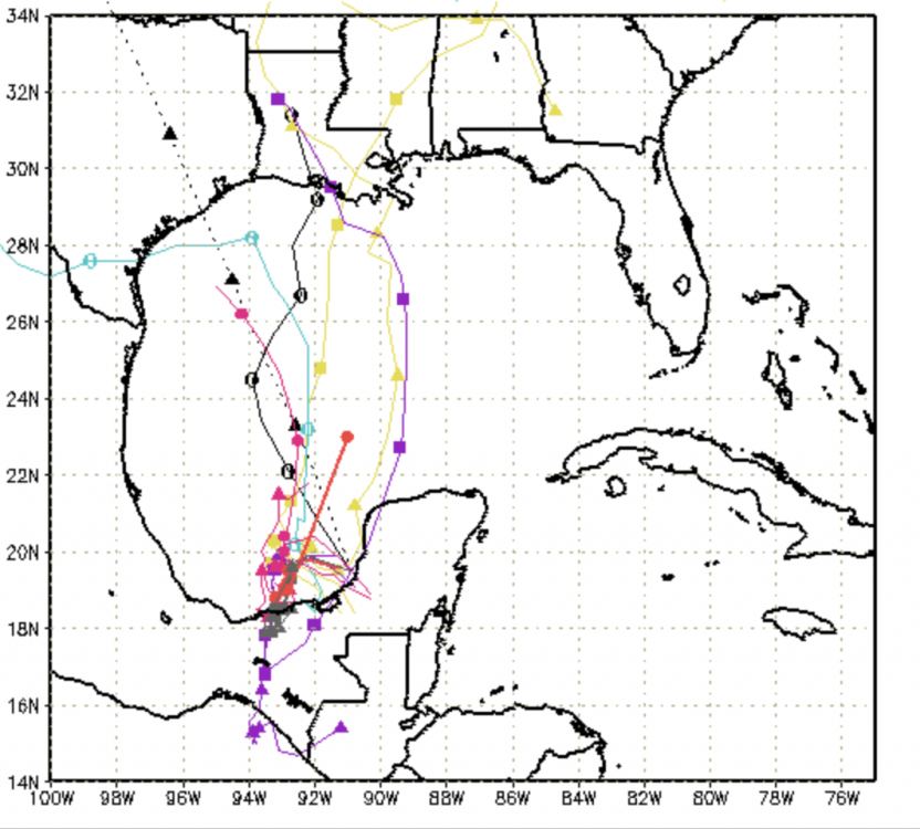
Tropical trouble may develop in the GoM from the system that is traversing over land from the Eastern Pacific in the Gulf. System is progged to reach Tropical Storm strength a couple hundred miles south of LA. Spagetti plot hinting at a generally northward movement.
-
Not sure the best forum to post these questions/thoughts so here I am, and here goes. Posting this on May 5th after an exhaustive search for April NC average temperature departure from normal and I'm looking in the wrong places or it's not published. Question: There are many AmWx threads dedicated to forecasted weather, daily observations, severe wx, but am I the only one who thinks a Historic Wx forum that posts data such as prior month/year temperature departures, rainfall departures etc. would be of great interest? This forum could also include a place for paid and amateur Mets/enthusiasts to restate what they forecast and why and what verified and why the departure from the forecast happened. I think this could be especially helpful to learn from winter wx under or non-performing events which happen a lot. Why? Meteorologists like Matthew East are excellent examples of Mets who do not hide from busted forecasts - instead, he uses them as a teachable moment to share his thoughts on a) here's what I thought, and why and b) here is what happened and why. Of course on-air time is limited but just a few words that address what most curious, even angry, viewers are thinking to at least use the busted package to teach the public about the inexact science of forecasting. I've been there when a winter storm warning is posted and cold rain results, then, the next on-air wx segment uses my most dreaded phrase used by Mets "we dodged a bullet." Really interested to read what others think about these ideas. One day I hope to have a home wx station to plot my data and post to Wx Underground...come to think of it, that may be where I should search for April departure values. Thanks.


