

Spartman
-
Posts
1,202 -
Joined
-
Last visited
Content Type
Profiles
Blogs
Forums
American Weather
Media Demo
Store
Gallery
Posts posted by Spartman
-
-
Not our month for a lot of dry weather, according to BAM

https://x.com/bam_weather/status/2027565955266572494 -
Warm-ups coming during the month, but get ready to be cheated out of them with endless rain. The upcoming week is going to suck and will be a total washout.

-
Signs of a record wet March and perhaps the whole Spring?
12z GFS:
12z Euro:

-
 3
3
-
 1
1
-
-
Looking like a garbage pattern for the final week of the month
-
2 hours ago, Malacka11 said:
Yeah basically looks like the rest of the season can be written off at this point. First torch is already locked in and after that I'd rather just save the ol' climo luck points for next season
Repeat of February 2018 incoming
-
 1
1
-
-
4 hours ago, TimChgo9 said:
Cloudy, cold, but today we get out of the deep freeze with temps a 31 for a high.
Going to be that kind of a week, for sure.
-
31 minutes ago, michsnowfreak said:
Blue sky snowblind day to start February. After a low of 2, the high of 27 felt almost mild. It was the first time we hit 20° in 10 days.
Same here. A clear day today was a great way to start the month before it gets all downhill again tomorrow.
-
1
-
-
-
-
The final month of Meteorological Winter is near. Plenty of cold, but not much snow or sun over the next week.

-
At 0.1" of snow for this month right now. Currently tied for 2nd least snowiest January with 1989.
-
Today's CFSv2 weeklies hold off any cold until the beginning of February


-
First cold December since 2022. Finished with 9.9" of snow for the month, and currently at 14.6" for the season to date.
-
9 hours ago, Brian D said:
Decent forecast. Happy New Year ev1!
")
New Year's Day's looking like a repeat of last year's, actually the past several New Year's Days. Overcast again, though mainly dry.
-

The first third of the month's certainly not good. TWC/Wunderground's wanting first full week of January to be repeats of Januaries 1998 and 2023 with a blowtorch.
-
1 hour ago, Torchageddon said:
I woke to a new snowpack that basically in 24hr restored most of what I lost during the major rain and thaw
 . Intense LES band over me currently giving major vibes! Suppose to get 1-2" but hoping for more if we're going to be smothered in snow anyhow. I can't stop looking out the window at the pour
Flakes still going on for 18 hours straight and counting without any signs of letting up very soon. Might as well keep them coming through the entire day today.
-
2
-
-
The new year is near, but things look rather boring during the first half of January before even anticipating a real pattern change afterwards. Discuss.
-
18 hours ago, TheClimateChanger said:
Wow, 66 tomorrow? Would be a new record for Dayton.
 Have to imagine at least a few breaks of sun occur tomorrow to get that warm.
Any sun is not happening for Sunday, according to NWS and TWC/Wunderground. Can expect the high of 66 to be a nighttime high.
-
When was there ever a previous December that any sunshine occurred for more than a week straight? Since the 14th right after the snowstorm the day before, every single day had some sun, even when there were few days with any measurable precipitation or above-normal temps (especially yesterday's "Torchmas") during that stretch. Incredibly unreal, isn't it?


Today, however, it all changed. Today was the first overcast day since the snowstorm back on the 13th and looks like we may very well be done with any sunshine heading into the new year. If this is the beginning of an upcoming longest overcast stretch of the season we're heading for, TWC/Wunderground is trying to be pushy about it.
Other than the rainstorm Sunday, pretty much ZZZZZZZZZ.
-
000 SXUS71 KILN 142326 RERDAY RECORD EVENT REPORT NATIONAL WEATHER SERVICE WILMINGTON OH 626 PM EST SUN DEC 14 2025 ...RECORD LOW MAXIMUM TEMPERATURE SET AT DAYTON OH... A RECORD LOW MAXIMUM TEMPERATURE OF 10 DEGREES WAS SET AT DAYTON OH TODAY. THIS BREAKS THE OLD RECORD OF 16 DEGREES SET IN 1917.-
2
-
-
Dropped down to -2 this morning, the lowest temp of this season so far.
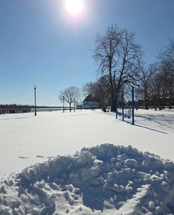
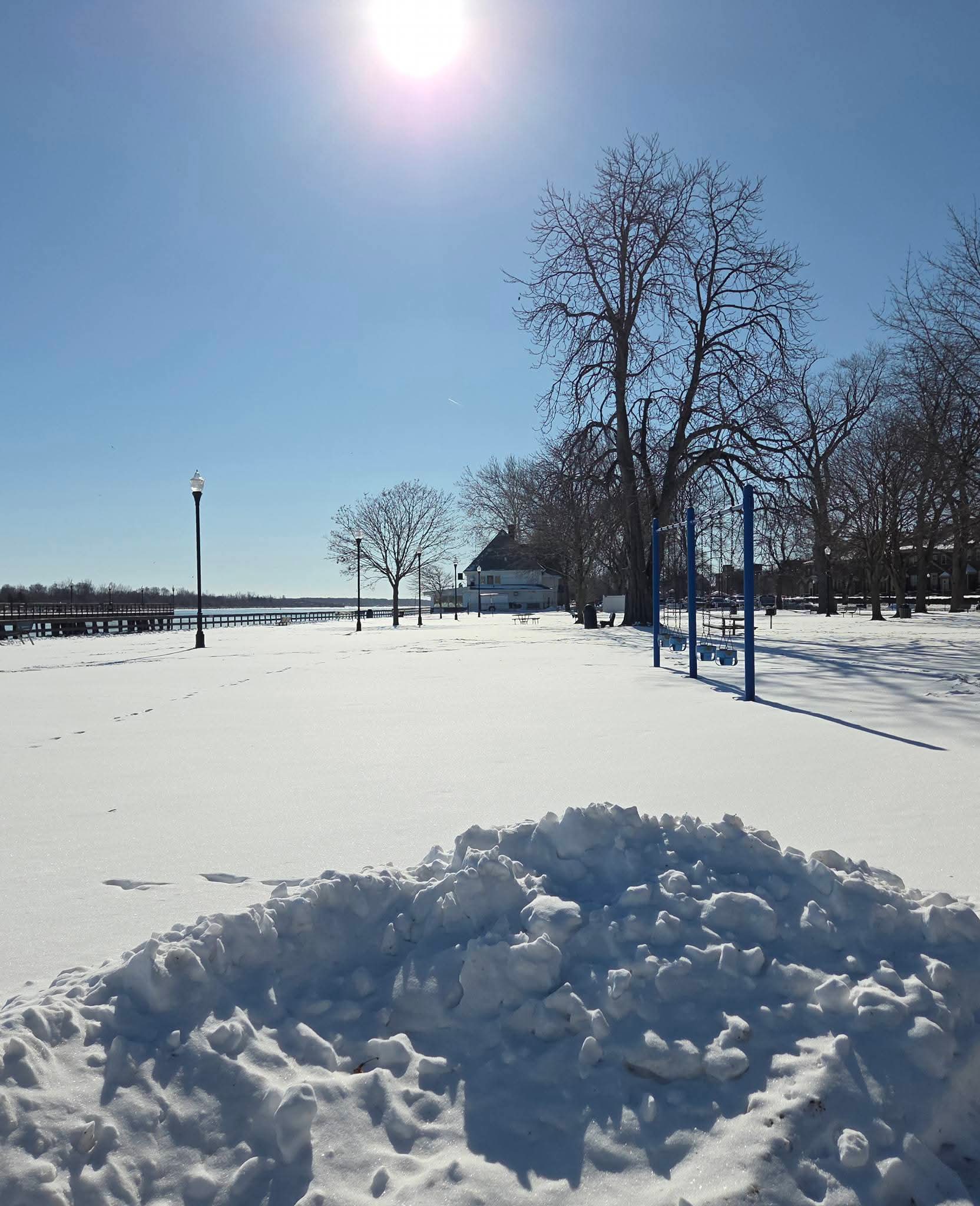
Hasn't been our month for a lot of sun so far, but today happens to be the sunniest day of the month. -
Got 3.7" of snow from it. Now at double digits with 12.6" for the season.
-
2
-
-
Christmas torch still holding strong on the 12z Euro, only for the cold to return just after Christmas


-
00z Euro hinting a juicy clipper for Friday.

The 00z GFS isn't buying it.


March 2026 General Discussion
in Lakes/Ohio Valley
Posted
000
SXUS71 KILN 230545
RERDAY

RECORD EVENT REPORT
NATIONAL WEATHER SERVICE WILMINGTON OH
145 AM EDT MON MAR 23 2026

...RECORD HIGH TEMPERATURE SET AT DAYTON OH...

A RECORD HIGH TEMPERATURE OF 86 DEGREES WAS SET AT DAYTON OH
YESTERDAY. THIS BREAKS THE OLD RECORD OF 84 DEGREES SET IN 1907.

$$