
Roger Ramjet
-
Posts
157 -
Joined
-
Last visited
Content Type
Profiles
Blogs
Forums
American Weather
Media Demo
Store
Gallery
Posts posted by Roger Ramjet
-
-
13 minutes ago, Roger Smith said:
The center moves along so fast that dynamics will change at breakneck speed too. Track appears to be RIC-SBY-eLI-wBOS and it takes a mere six hours to go that far (RGEM 12z and 18z guidance).
For DCA would expect winds to back around ESE to NE to NW during that six hour period, rain to sleet to snow but probably only about 1" snow ending with squalls and wind gusts to 45 mph. Airport amounts may be something like 1.2" BWI, 1.4" DCA, 2.2" IAD. Hourly temps something like 45, 40, 35, 32, 30, 29, 28 in that segment.
Snow amounts will increase gradually northwest of DC to 3" around FDK and 7-10" in some higher locations. Near blizzard conditions will develop (reduced visibility in blowing snow briefly spreading into I-95 corridor during squalls). Probably some thunder with the sleet and snow portions.
Areas just northwest of I-95 could have very slick roads as a result of sleet, flash freeze and snow accumulating on roads, further north it will be mostly snow which will make road conditions somewhat easier to maintain and further south melting will leave roads only slushy or wet. Looks like the most wintry conditions will be 15z-18z (10 a.m. to 1 p.m.).
I have been on this board and the prior board for over 15 years now and usually sit and listen. I have yet to see even one of your forecasts come true.
-
 2
2
-
 1
1
-
-
3.5" with light snow and 28 degrees. Woke up at 1:00am to heavy snow.
-
 1
1
-
-
Went from 10% snow to 90% snow in a matter of a minute or two.
-
3
-
-
Snow starting to mix in here - 34.
-
High of 41. Currently 39. 100% snow cover @ about 3".
-
-
First flakes here 18.5 degrees. NWS increased my snow totals 5-8".
-
1
-
-
I received just shy of 5".
-
22 minutes ago, WinterWxLuvr said:
Also, does anybody have any data from Loudoun county? Told some friends yesterday that I thought it might be a situation where se Loudoun got a foot while nw Loudoun got nothing. Any info would be appreciated.
I'm up in the very northwest corner and got about 1". I'm about two & a half miles from Harpers Ferry.
-
18 minutes ago, midatlanticweather said:
A little over 2 inches in Purcellville, but northern Loudoun has table scraps.
Not really. I have a little over 1" and everything is white.
-
Steady light snow in the northwestern corner of Loudoun. Everything covered, about 3/4".
-
2.55" for me. Very little wind.
-
3" on the nose for this event.
-
1
-
-
4.05" for a total yesterday.
-
DCA - 99
RIC - 102
IAD - 100
BWI - 101
-
Looks like it's just about over for me. Ended up with 5.8".
-
Emptied the rain gauge at 4.7". Only .5 the last hour for a total of 5.2" so far.
-
Now up to 4.4" with heavy rain continuing. I going to have to go out and empty my rain gauge.
-
3.6" and counting here at the northern tip of Loudoun.
-
Full Sun! AHHHH!
-
1
-
-
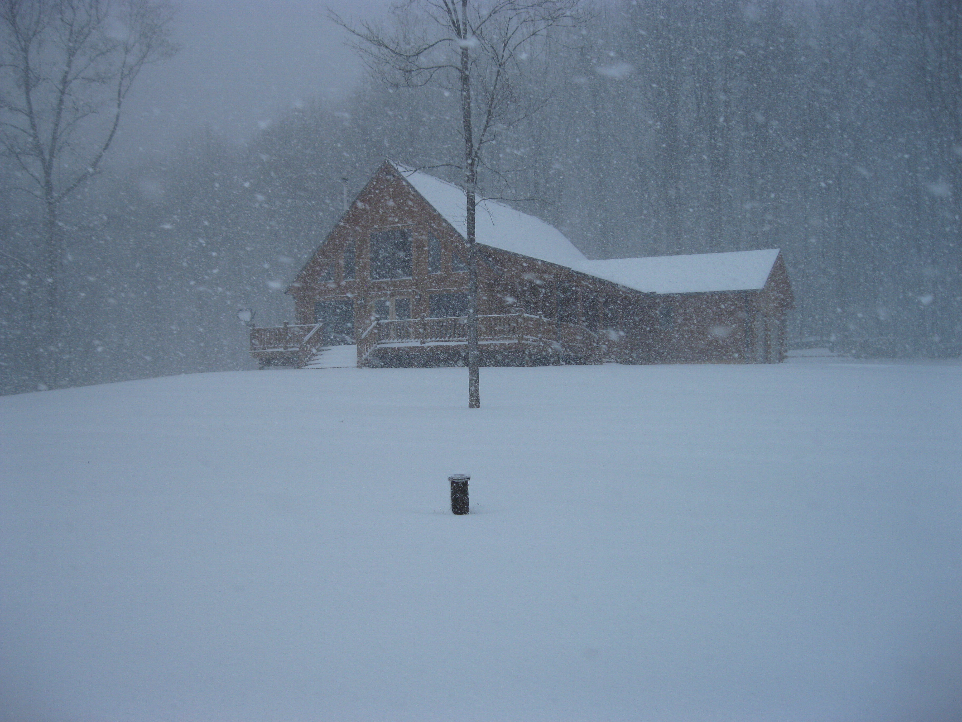
Wow! that one went right over me and was very strong. Lost power twice, but came back. First severe storm in my new log home and still standing. Have a 24' ceiling in the great room with a wall of windows that face due west. Had to stand in the hallway because I was scared to stand next to the windows.
-
3
-
-
39.288192, -77.712677
-
25 minutes ago, leesburg 04 said:
I'm not expecting concrete accumulations but I'm game for some old sleet refreshing. The grass looks like one of Ellenwoods old maps with that translucent gray...I mean i don't live in Fairfax County for gosh sakes
The difference between Leesburg and the northwestern tip of Loudoun County is stark. I still have 100% snow cover with 5-6 inches and 50% cover on my access road. I drive into Hillsboro and it has all but disapeared.
-
1
-
-
1 hour ago, Ji said:
this event was awful for Loudoun. Just un eventful. The NAM 3k was right. We didnt even see good sleet and zero snow
Your in the wrong part of Loudoun. I got 5" of snow and about a half inch of sleet.
-
1
-
3/12 Event: Winters Last Hurrah at Least East of Mountains
in Mid Atlantic
Posted
35 with heavy sleet