-
Posts
9,566 -
Joined
-
Last visited
Content Type
Profiles
Blogs
Forums
American Weather
Media Demo
Store
Gallery
Posts posted by Chinook
-
-
-
-
-
-
-
-
-
-
-
-
-
-
-
-
lightning near Denver
-
There have been a couple of confirmed tornadoes today. One confirmed tornado right now is near Oakley Kansas. This is a pretty low-moisture situation today. Apparently even up to 1000 J/kg of surface based CAPE near this area in Kansas. I don't even really know if a lot of hail will happen today/tonight.
QuoteThe National Weather Service in Goodland has issued a
* Tornado Warning
* Until 545 PM CDT.
* At 508 PM CDT, a confirmed tornado was located 5 miles west of
Grinnell, moving northeast at 25 mph.HAZARD...Damaging tornado.
SOURCE...Law enforcement confirmed tornado.
-
-
-
-
-
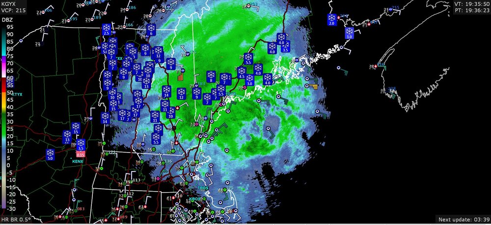
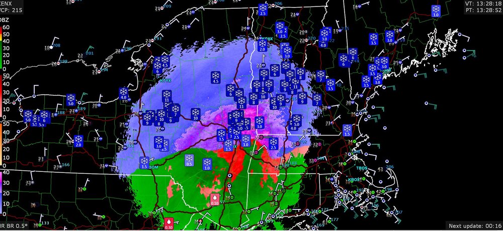
You know it's gotta be snowing if the SPC puts out a mesoscale discussion for snow (MSP to Wisconsin, right now)
-
-
6 minutes ago, CheeselandSkies said:
We don't need no stinking METARs!
When there's a data outage of some sort at NCEP/NWS, I always tell myself that somebody tripped over the cord to the computer, and they didn't plug it back in for a few minutes. It seems like there used to be more times when the NAM/GFS were delayed. I guess nobody trips over those cords anymore.
-
 1
1
-
-
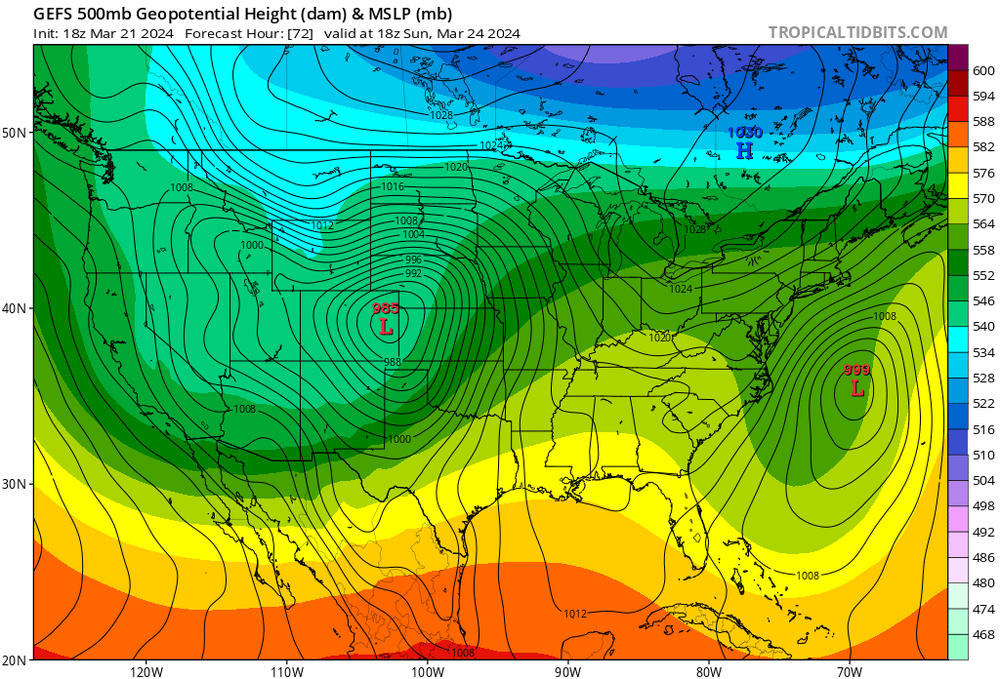
The GFS and ECMWF both have 980mb in Colorado on Sunday, so that's some incredible agreement on that feature. Surely, there will be snow for a lot of high elevations, and there's a decent chance of 30mph winds the Front Range cities. I'm sure future models runs will have a better forecast for snow for the Front Range cities.


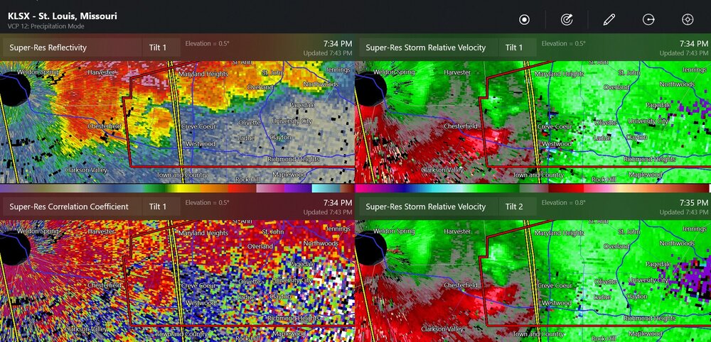

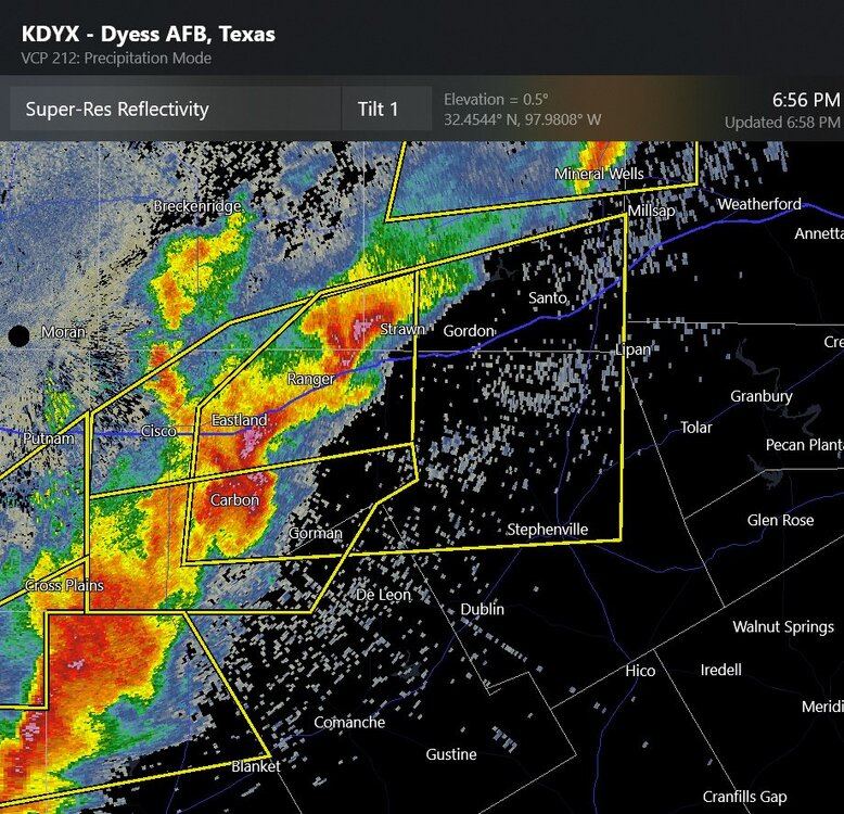
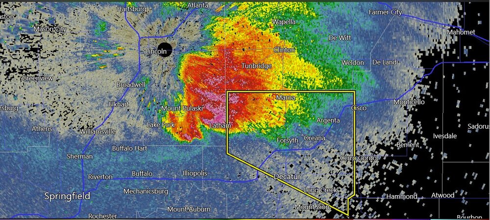
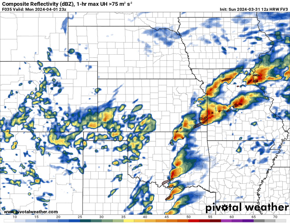
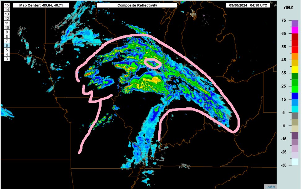
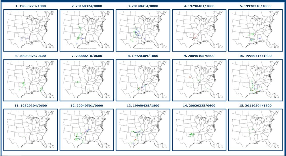
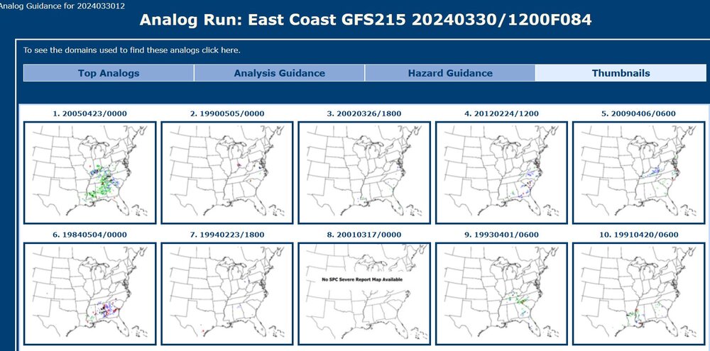
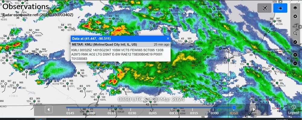

Severe Weather 3-31 through 4-3-24
in Central/Western States
Posted
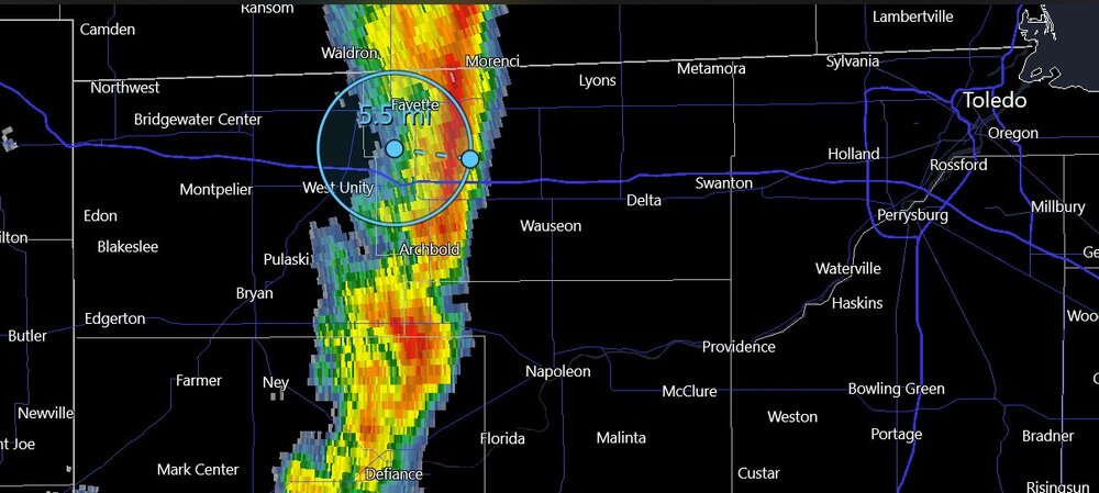
this is a confirmed tornado outside of Tulsa