


Stormlover74
-
Posts
24,505 -
Joined
-
Last visited
Content Type
Profiles
Blogs
Forums
American Weather
Media Demo
Store
Gallery
Everything posted by Stormlover74
-
Models ramping up now for this weekend. 1.5 to 3"
-
Storm reports https://partnerservices.nws.noaa.gov/products/cache/141-2026/LSROKX/fe3df8fbcf61cadf5813385ccbee7b46?fbclid=Iwb21leAR7UORjbGNrBHtQvmV4dG4DYWVtAjExAHNydGMGYXBwX2lkDDM1MDY4NTUzMTcyOAABHpIaj9cdR4JO6m41GHrFLOU66CI5JddWLgtHRDgWBQe2caDArLhI5oZqmy06_aem_m08QCNbHAV3COkaXBAZXJg
-
Not bad for a weakening cold front
-
Quick 20 degree drop
-
Wow crazy storm
-
Very windy now 50+
-
Dark and windy
-
Upton as well 607 PM EDT Wed May 20 2026 The National Weather Service in Upton NY has issued a * Severe Thunderstorm Warning for... Hudson County in northeastern New Jersey... Union County in northeastern New Jersey... Southern Essex County in northeastern New Jersey... Richmond County in southeastern New York... Kings County in southeastern New York... New York (Manhattan) County in southeastern New York... * Until 700 PM EDT. * At 607 PM EDT, severe thunderstorms were located along a line extending from near Peapack And Gladstone to Somerset to near Plainsboro Center, moving east at 35 mph. HAZARD...60 mph wind gusts and penny size hail.
-
70 mph winds now 604 PM EDT Wed May 20 2026 The National Weather Service in Mount Holly NJ has issued a * Severe Thunderstorm Warning for... Southeastern Hunterdon County in northwestern New Jersey... Southeastern Morris County in northern New Jersey... Somerset County in northern New Jersey... Northeastern Monmouth County in central New Jersey... Middlesex County in northern New Jersey... * Until 700 PM EDT. * At 604 PM EDT, a severe thunderstorm was located over Manville, or near Somerville, moving east at 30 mph. HAZARD...70 mph wind gusts.
-
Low chance
-
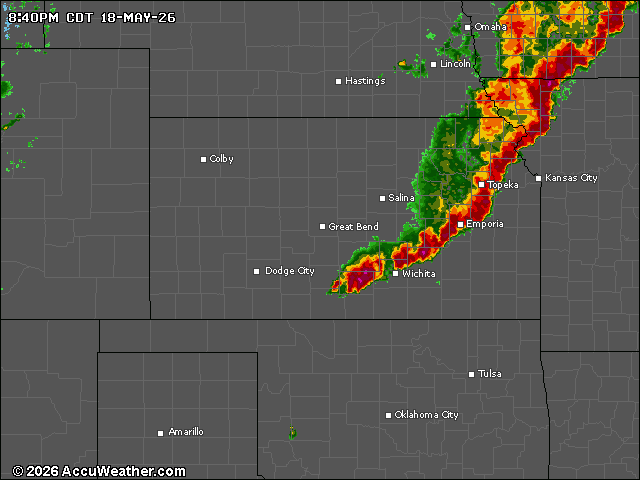
Remember these?
-
Ewr is "only" 88 on a se wind but yeah just west of there is baking
-
Once we get to June its pretty rare to have highs below 70
-
Nah its a holiday weekend so of course it will be a washout
-
Wednesday's front not looking like it will have much rain with it
-
It's literally every day. And yeah not great for the allergies either
-
Perfect day
-
Just crazy how 3 days ago it was an inch and we couldn't even squeeze out a tenth of that
-
Tuesday looks like a scorcher
-
Still pretty gusty here
-
Looks like tomorrow's rain event is fizzling again. Maybe .25"
-
And giving 45" to Tons River
-
And the fv3
-
Models showing a pretty rainy Wednesday Thursday period. Let's see if it holds or fizzles



