

high risk
-
Posts
2,625 -
Joined
-
Last visited
Content Type
Profiles
Blogs
Forums
American Weather
Media Demo
Store
Gallery
Posts posted by high risk
-
-
23 minutes ago, BTRWx's Thanks Giving said:
What's the plan for the 3k NAM?
Will be retired. NAM (parent and nest), RAP/HRRR, and Hi-Res Windows will be turned off when the RRFS is implemented (or very soon after).
-
 1
1
-
-
1 minute ago, Wentzadelphia said:
Stealing this from my region, thanks Tony, but this is the model that will be replacing the NAM soon. Let's see how it does...
Sort of. Yes, the NAM (and RAP/HRRR and Hi-Res Windows) will be subsumed by a hi-res, hourly FV3 ensemble (called the RRFS), but the configuration of that hi-res FV3 is not what the configuration of the RRFS members will be (different physics, different initialization....). Think of this run that you showed as sort of a hi-res GFS for now.
-
 3
3
-
 1
1
-
-
My standard word of caution that the 10:1 maps should not be used verbatim in many events, but especially in one with warm ground and marginal temps (at least at the start). We're not going to see 10:1 for most of the event, and while I am a believer in rates overcoming warm ground (especially when it's not the middle of the day), some accumulation could initially be lost. The accumulated snow depth maps tend to cut amounts a bit too much in these scenarios, but a compromise between the 10:1 and snow depth maps can work.
-
5
-
-
I'm rooting hard for this, not just because I want snow, but also because it will be even more difficult to retire the NAM if it scores a huge win on this event.
-
7
-
 6
6
-
1
-
-
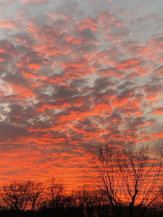
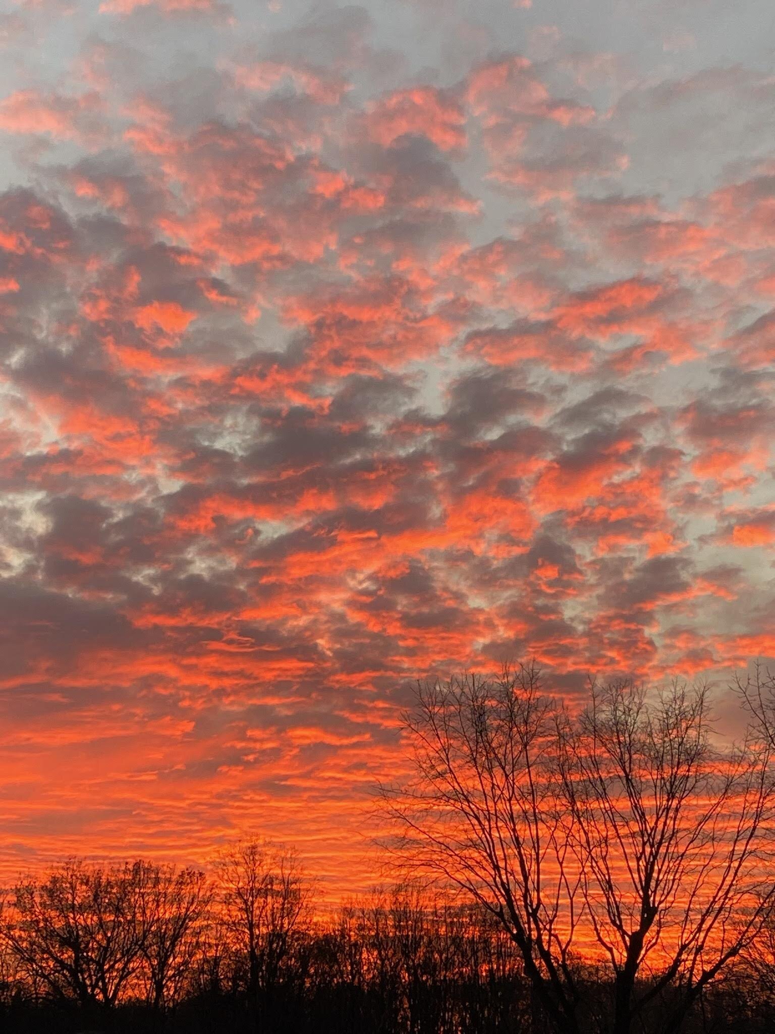
great sunset pics! it was definitely a pretty evening:
-
10
-
-
4 hours ago, Kmlwx said:
We always seem to manage some sneaky gusty shower event in November or December. I just want something other than grey, boring skies to track.
There is definitely some sneaky wind potential Saturday with a forced line of convection on the front later in the day. I'm tossing the NAM Nest solution which has the line fall apart - it tends to run cool, and I'm not buying its idea that we only get into the low 60s Saturday with the temp dropping as the sun sets. I think we have a good shot to hit 70 and get a dew point up around 60, and it will stay warm until the line arrives. With really strong winds just above the ground, it won't take much to mix down that momentum - that said, we won't have "much". Even at 70/60, instability will be really limited due to warm mid-level temperatures. So I think that we'll get a gusty line of showers, but it seems like little chance of lightning and a low chance of gusts close to SVR. The strongest winds might be later in the evening right behind the front.
-
5
-
-
Even if we got a dusting, which seems unlikely now, the need for pre-treatment is really, really questionable. You'd have light snow falling during the daylight hours with marginal air temperatures and road temperatures clearly well above freezing.
-
5
-
-
2 hours ago, psuhoffman said:
So we will have hourly model runs soon. That’s gonna be great for the manic tendencies here.
We already do, for the RAP/HRRR.
-
49 minutes ago, WxUSAF said:
FV3 is the GFS dynamical core run at mesoscale resolution. I think it may be taking over for the NAM, but @high risk or @dtk can confirm.
You're correct that it's a mesoscale version of the GFS (it's not as simple as just saying it's the GFS run at 3 km). The FV3 is now one of the Hi-Res Windows, along with the ARW and ARW2. (The FV3 replaced the NMMB in the last HiResWindow upgrade.) All 3 of those models, along with the NAM Nest and HRRR, make up the HREF.
The hi-res version of the FV3 is an initial step towards replacing all of the hi-res models (the Hi-Res Windows, HRRR, NAM Nest, and the HREF products) with an hourly, high-res FV3 ensemble in a few years.
-
1
-
10
-
-
70! It's glorious.
-
5
-
-
1 hour ago, SnowenOutThere said:
I know even in fantasy land we get screwed.
At least with the clock change this weekend, we can now get screwed by the guidance an hour earlier.

-
2
-
6
-
 1
1
-
-
1.61" at BWI in the past 3 hours. Over 2" for the event.
-
1
-
-
28 minutes ago, Kmlwx said:
Interesting cell has formed down near Goochland. Much further west than the main activity.
The models have been indicating that some scattered convection would develop in the dry slot, where some weak instability would develop. Fortunately, the good low-level shear is rapidly moving away to the northeast.
-
25 minutes ago, osfan24 said:
If that area fills in and we get a nasty line to form, it could change things and maybe we get higher winds and end up closer to 2-3 inches. It just looks rather sporadic once you get past Southern MD. I guess it really depends on what happens in that area northeast of Richmond that seems to be trying to expand a bit. I'm curious if a new line is going to form or if the line northwest of DC is the one shown on most models as being the main show.
The NAM looked really impressive about 24 hours ago but definitely looked less impressive since then.
There is a large area of heavy rain with convective elements now affecting the areas just east of DC moving north into Howard Co and the Baltimore area, with more redevelopment further south. I'm not saying that it's going to be a widespread 4-5" event or anything like that, but the totals are really going to add up over the next few hours.
-
2
-
-
5 minutes ago, osfan24 said:
The coastal flooding is obviously very significant and could potentially be very costly but the rest of this storm is very meh. Rainfall will probably end up around an inch and the winds look like they will top out at gusts in the low 40's. Radar looks like the back edge, except for some isolated pockets, isn't all that far away.
But the heaviest convective elements have yet to move through the areas on the east side of the Potomac, and the HRRR (and other CAMs) have been suggesting redevelopment which will keep the rain going for a while, and the latest HRRR runs suggest another 1-2 inches for some. Accordingly, WPC is discussing potential flash flooding in the 2-5pm time frame: https://www.wpc.ncep.noaa.gov/metwatch/metwatch_mpd_multi.php?md=1115&yr=2021
-
1
-
-
The big question is whether the line of forced convection that races northeast through the area this afternoon can mix down the stronger winds just above the surface. It may be too stable to do that (especially on the north side of town), and the best low-level winds will be exiting to the northeast as the line arrives, but if we can overlap just a little bit of instability with the stronger wind fields, it could get really ugly.

-
2
-
-
In addition to the coastal flood threat, areas generally south of DC are in a MRGL risk for damaging convective wind gusts Friday afternoon. Several models are now showing a little bit of sfc-based instability Friday afternoon, which could allow some of the faster wind speeds just above the surface to mix down. I'll note that 1) a few CAMs develop instability even further to the north than currently indicated in the MRGL region implying a more widespread threat but 2) a lot of the stronger wind speeds above the surface will move off to the northeast before the instability develops which implies an overall lesser threat
-
2
-
-
21 minutes ago, southmdwatcher said:
The storms along I64 started this morning down in North Carolina and have been moving northward steadily since then.
Good point, and the HRRR is still struggling to initialize them. The only guidance that explicitly showed this was the ARW2. Some of the other guidance has shown cells developing later this afternoon south of DC and moving north, so I think that these solutions correctly captured the northward-moving forcing mechanism but struggled to initiate storms much earlier and much further south.
-
52 minutes ago, Eskimo Joe said:
Dewpoints along and east of I-95 are starting to tick into the low 60s. Get that west to US 15 baby.
Dew points have been lowering at all 3 airports over the past few hours (likely due to mixing), which seems to match what the HRRR has been forecasting.
-
4 minutes ago, Eskimo Joe said:
HRRR over-mixing coming into play again? BWI is already 77. Even Westminster is 72.
HRRR seems to have a good handle on the environment. It's going for roughly 80/58 by mid-afternoon which seems reasonable. NAM Nest is too cool - it really raises the dew points later this afternoon, and I'm not sure that's going to be right.
-
17 minutes ago, MN Transplant said:
12z NAM 3k is a bit more frisky than prior runs. Both the NAM and HRRR indicate that there may be a set of cells out in front of the main line, which is pretty common around here.
Yeah, the signal for this started showing up yesterday, and even the Hi-Res Windows are buying in, although they disagree a bit on location and timing. (The HiResW FV3 initiates the lead cells notably further north.) Seems like several cells will race from south to north out ahead of the more organized line rolling east. Still unclear how much instability will be available: the HRRR is much warmer (but drier), while the NAM Nest is more moist (but cooler). Perhaps there is a temperature/moisture "sweet spot" in there that could increase the potential for some hail and wind.
-
seems to be some growing potential for the Tuesday deep offshore low to loop back to the south/southwest, which opens the door to rain rotating back into our area during the afternoon, likely accompanied by some stiff winds. This is after the likelihood of heavy convective rains Monday evening. And with the potential for a big soaker Friday/Saturday, this will be a much-needed wet week.
-
3
-
1
-
-
On 10/23/2021 at 10:11 AM, high risk said:
SLGT for the southwest part of the area and MRGL for the rest. The question will be how warm it can stay after dark. Clouds and southerly winds should keep temps up through the evening and overnight hours, but it will still be cooling, and instability will be limited. The better threat is definitely well west and southwest of our area, but a line of storms (or heavy showers) well after dark with some wind potential is probably worth the threats SPC has assigned.
This post didn't age well, as the timing now appears to be much faster. If we toss the anemic, outlier NAM Nest solution, a large area of convection should be approaching from the southwest in the early evening with perhaps a few lead cells out ahead racing south to north. Deep layer shear is good but is mainly due to very fast winds at the higher levels; the combination of weaker shear in lower levels and limited instability will likely mitigate the threat in the DC/Baltimore area, although an earlier arrival would open the door to a slightly higher threat.
-
3
-
-
6 hours ago, yoda said:
Monday severe threat... SLGT risk up on Day 3
SLGT for the southwest part of the area and MRGL for the rest. The question will be how warm it can stay after dark. Clouds and southerly winds should keep temps up through the evening and overnight hours, but it will still be cooling, and instability will be limited. The better threat is definitely well west and southwest of our area, but a line of storms (or heavy showers) well after dark with some wind potential is probably worth the threats SPC has assigned.
January 3, 2022 CAPE Storm Obs/Nowcast
in Mid Atlantic
Posted
This traffic map does an incredible job showing which areas have been crushed and where the northern edge of the snow has resided.