

JasonOH
-
Posts
791 -
Joined
-
Last visited
Content Type
Profiles
Blogs
Forums
American Weather
Media Demo
Store
Gallery
Posts posted by JasonOH
-
-
210mph G2G in the 19:06 scan from AMA.
-
5 minutes ago, WhiteoutWX said:
At this point it's just wait and watch the higher dew points as they surge north this morning and early afternoon.
This exactly! I need to get some studying done (for a meteorology class), but I'm doing a surface analysis every 2-3 hours today. These are the days when the Mesonet is so awesome, since Obs are everything, especially on a day like today with questionable moisture.
-
7z,8z, and 9z runs of the HRRR are remarkably consistent with a supercell over the OKC metro. Even with no tornadoes, large hail could make a huge mess where that tracks. A thing to note is that the 07z HRRR is a degreee or 2 high with dews over parts of south central Texas at 11z. This is corrected by the 09z run. It has been consistent with dew points in Oklahoma as of 11z.
-
When the sounding from 0z at FWD is modified to the 65/63 of DFW, SBCAPE increases to over 1000J/Kg. Definitely want to watch these storms closely as they enter the metroplex. Storm south of Fort Worth is a total mess right now, but does have a good environment ahead of it.
.thumb.png.8afada9260e36a1d08f1fd43e60986bc.png)
-
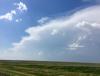
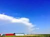
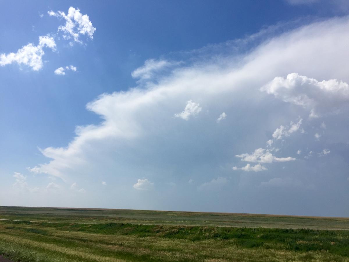
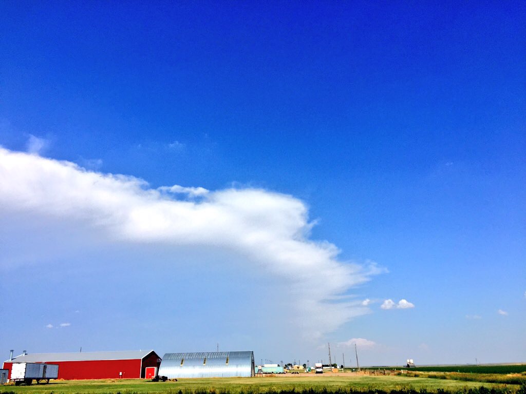
Photos of the previously severe storms in NW Kansas. First was from directly south of them along I70. The second is looking east from Burlington, CO.
.png.b85d5b168fb7f3b794d33bbb19b508a7.png)
Hurricane Maria
in Tropical Headquarters
Posted
That sonde could have caught a gust since the wind increased so much in the final 4mb, but 110kt is easily believable for surface winds. Going to be Cat 4 very soon, if not already.
edit: NHC went with 110KT/956mb