
jjwxman
-
Posts
343 -
Joined
-
Last visited
Content Type
Profiles
Blogs
Forums
American Weather
Media Demo
Store
Gallery
Posts posted by jjwxman
-
-
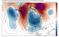
One problem with that idea is there is no HP to the north. Much easier for WAA to invade without it IMO.
-
 1
1
-
-
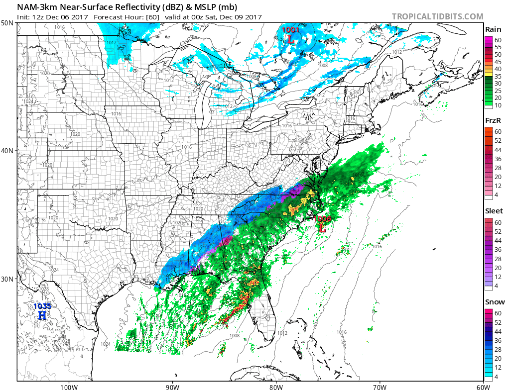
FWIW, the NAM 3km. Hr 60 is dangerous, but Warmer profiles noted.

-
At 54 dewpoints are in the upper 20's in the Triad. Upper 30's surface. Any moderate precip would be snow, per sounding.
-
1
-
-
You've been NAM'd
-
1
-
-
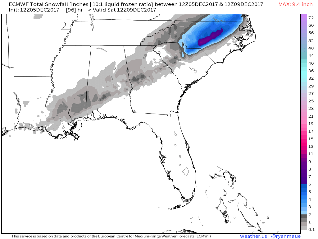
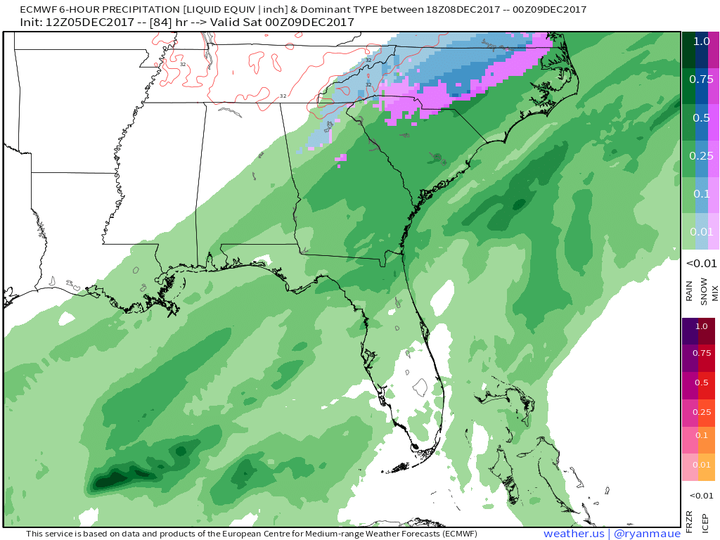
The 12z Euro snow accumulations:

-
1
-
-
Looks good for the Triad/Foothills.

-
2
-
The December to Remember 7th-8th blue turd winter threat thread.
in Southeastern States
Posted
But, without a CAD the WAA is less noticeable in the soundings even though it is definitely there. This set up is definitely unique to our usual snow set ups. Interesting times ahead!