
stormtracker
-
Posts
64,402 -
Joined
-
Last visited
Content Type
Profiles
Blogs
Forums
American Weather
Media Demo
Store
Gallery
Everything posted by stormtracker
-

Jan 24-26 Weekend Snow and Sleetfest Model Thread Part Tres
stormtracker replied to H2O's topic in Mid Atlantic
Even an earlier start would help around here. I mean, it's possible. -
Jan 24-26 Weekend Snow and Sleetfest Model Thread Part Tres
stormtracker replied to H2O's topic in Mid Atlantic
whoa. Now I can get behind that. NAMs/Mesos are prob gonna handle the changover better tho -
Jan 24-26 Weekend Snow and Sleetfest Model Thread Part Tres
stormtracker replied to H2O's topic in Mid Atlantic
If the GFS is right, there's DC 10. 8.5 snow 1.5 sleet -
January 24-26: Miracle or Mirage JV/Banter Thread!
stormtracker replied to SnowenOutThere's topic in Mid Atlantic
About to get to work on this home made pizza -
Jan 24-26 Weekend Snow and Sleetfest Model Thread Part Tres
stormtracker replied to H2O's topic in Mid Atlantic
Just comparing it against the NAM. Haven't really checked against anything else. -
Jan 24-26 Weekend Snow and Sleetfest Model Thread Part Tres
stormtracker replied to H2O's topic in Mid Atlantic
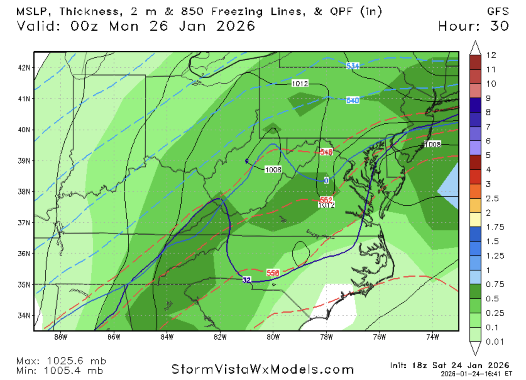
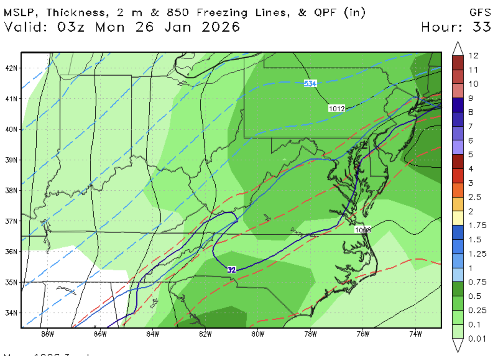
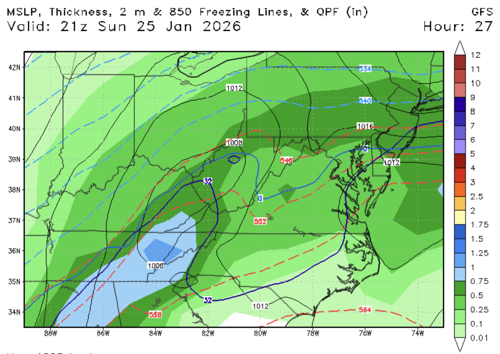
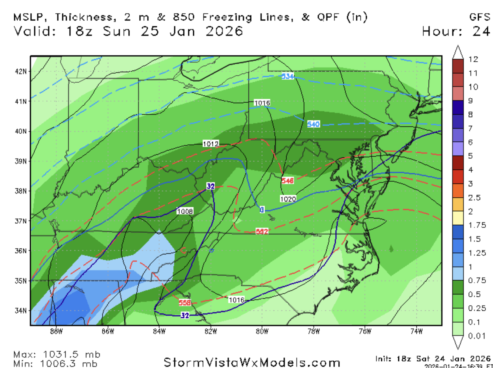
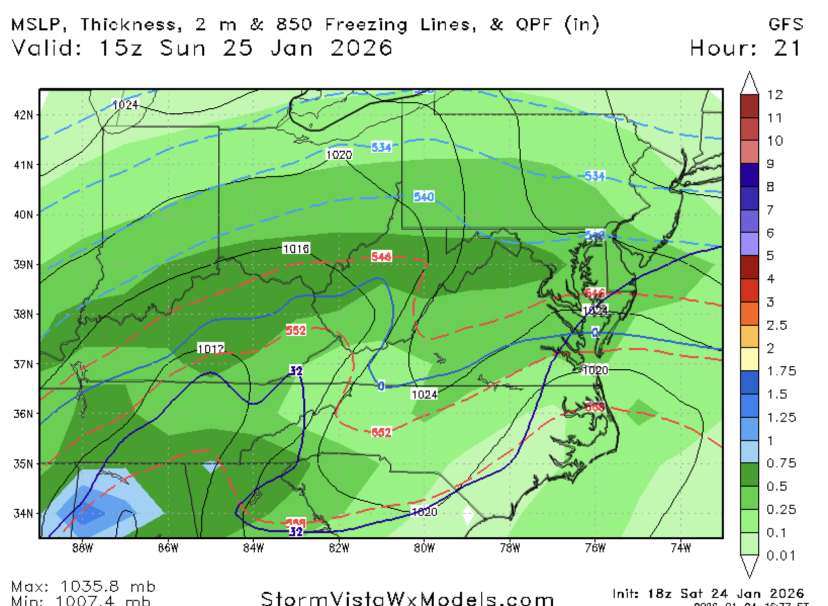
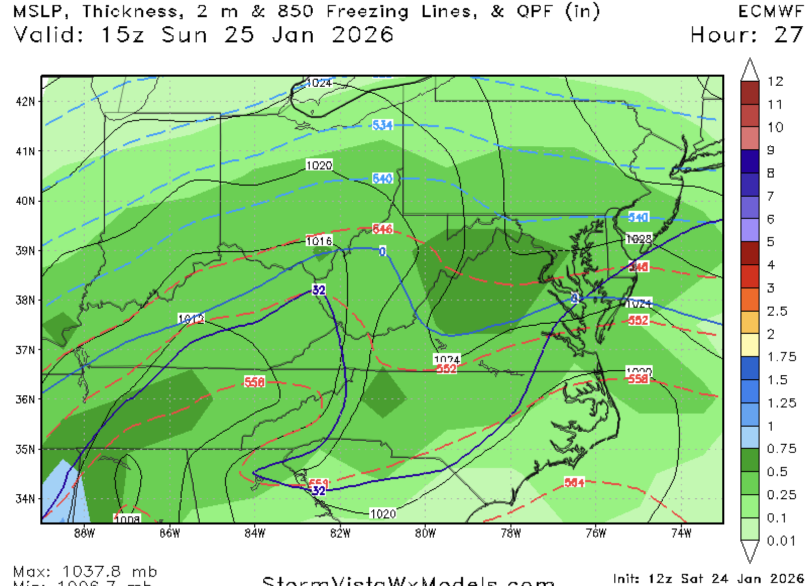
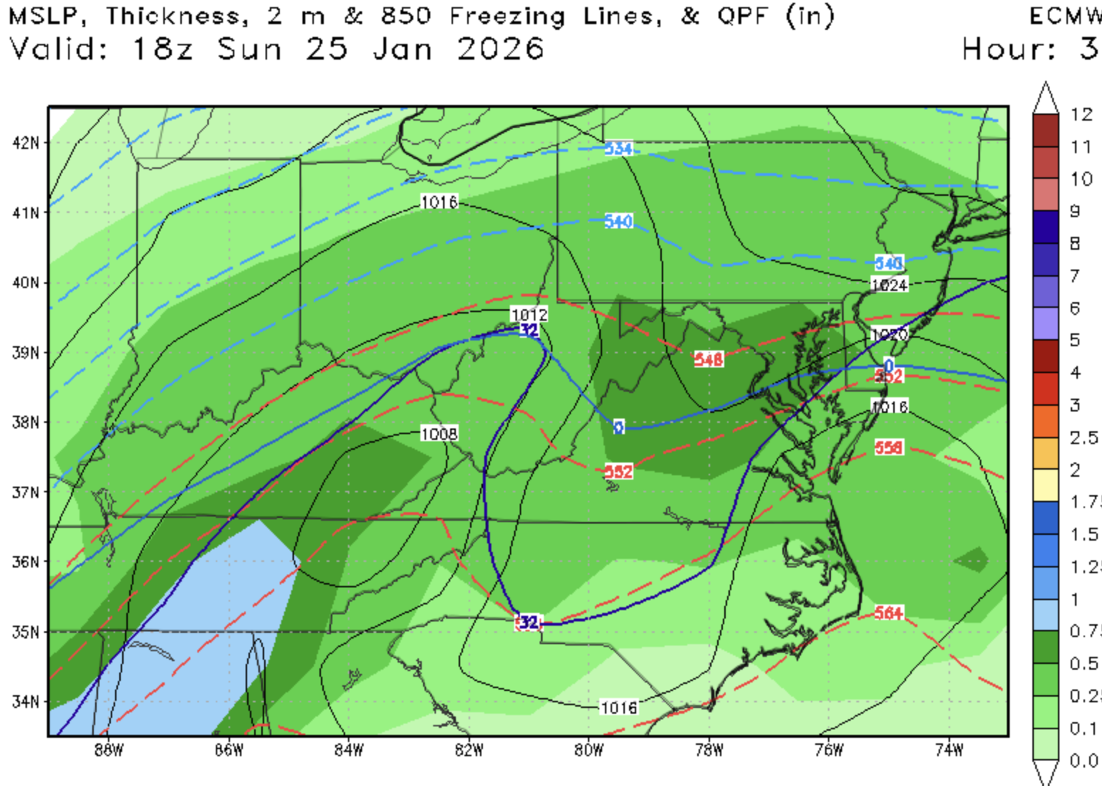
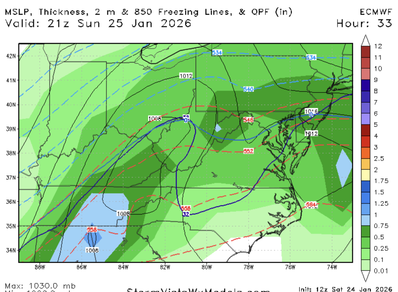
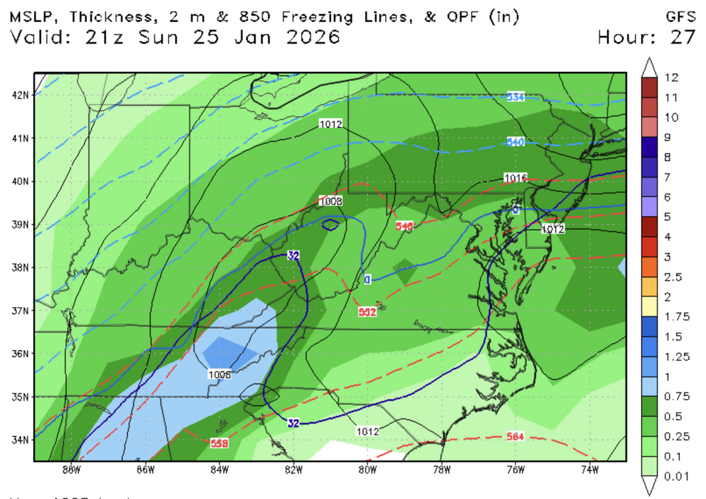
GFS has snow for DC north still at 15z. Why can't this be right one time -
Jan 24-26 Weekend Snow and Sleetfest Model Thread Part Tres
stormtracker replied to H2O's topic in Mid Atlantic
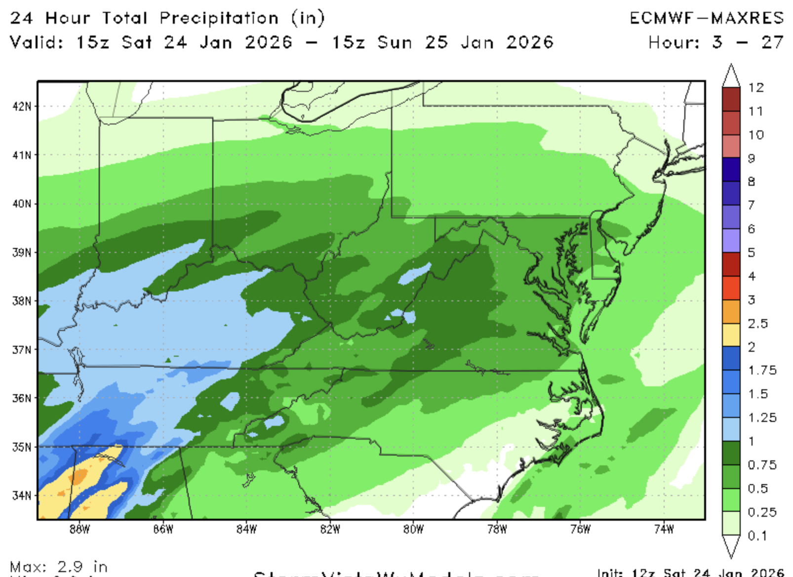
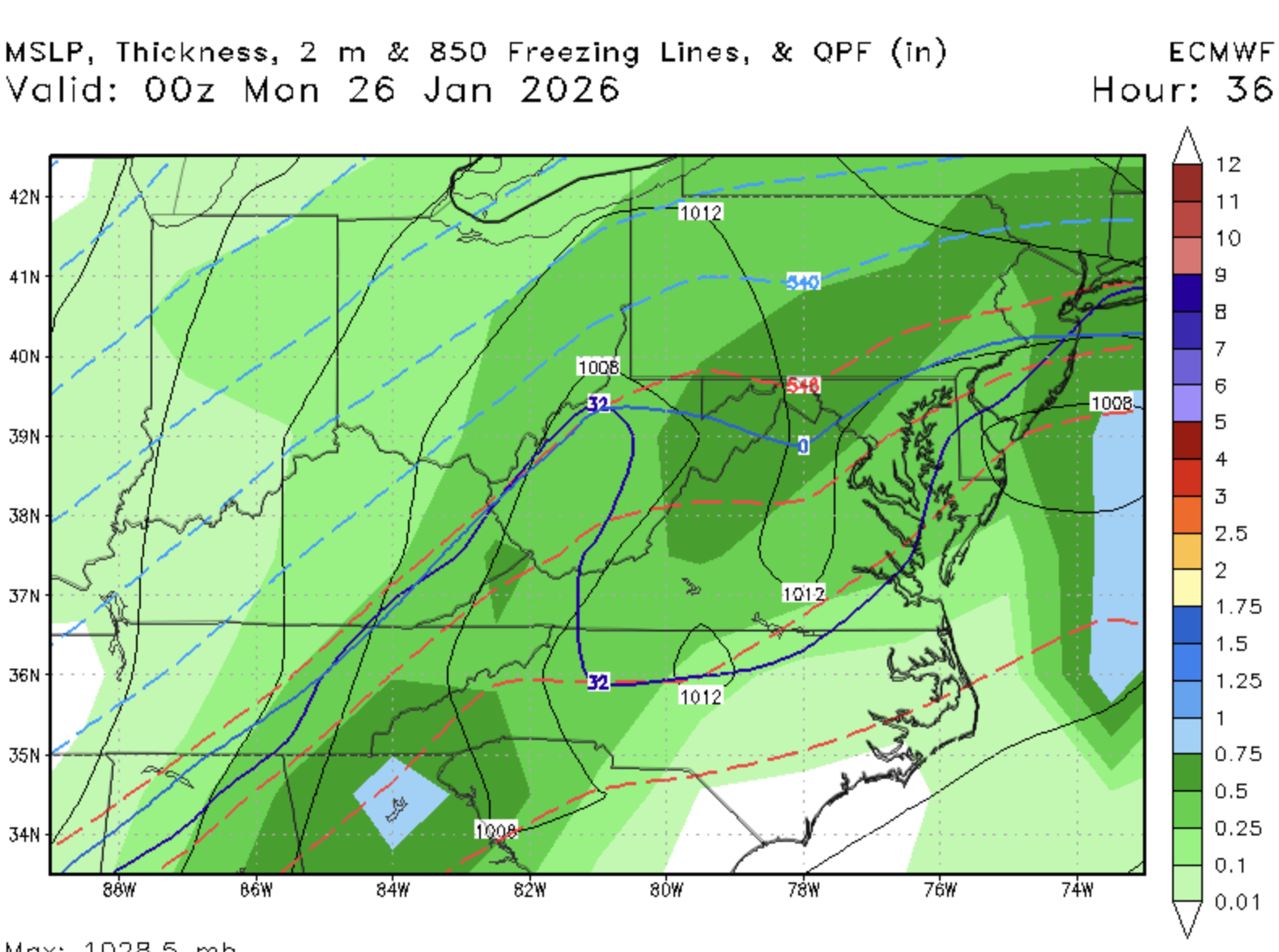
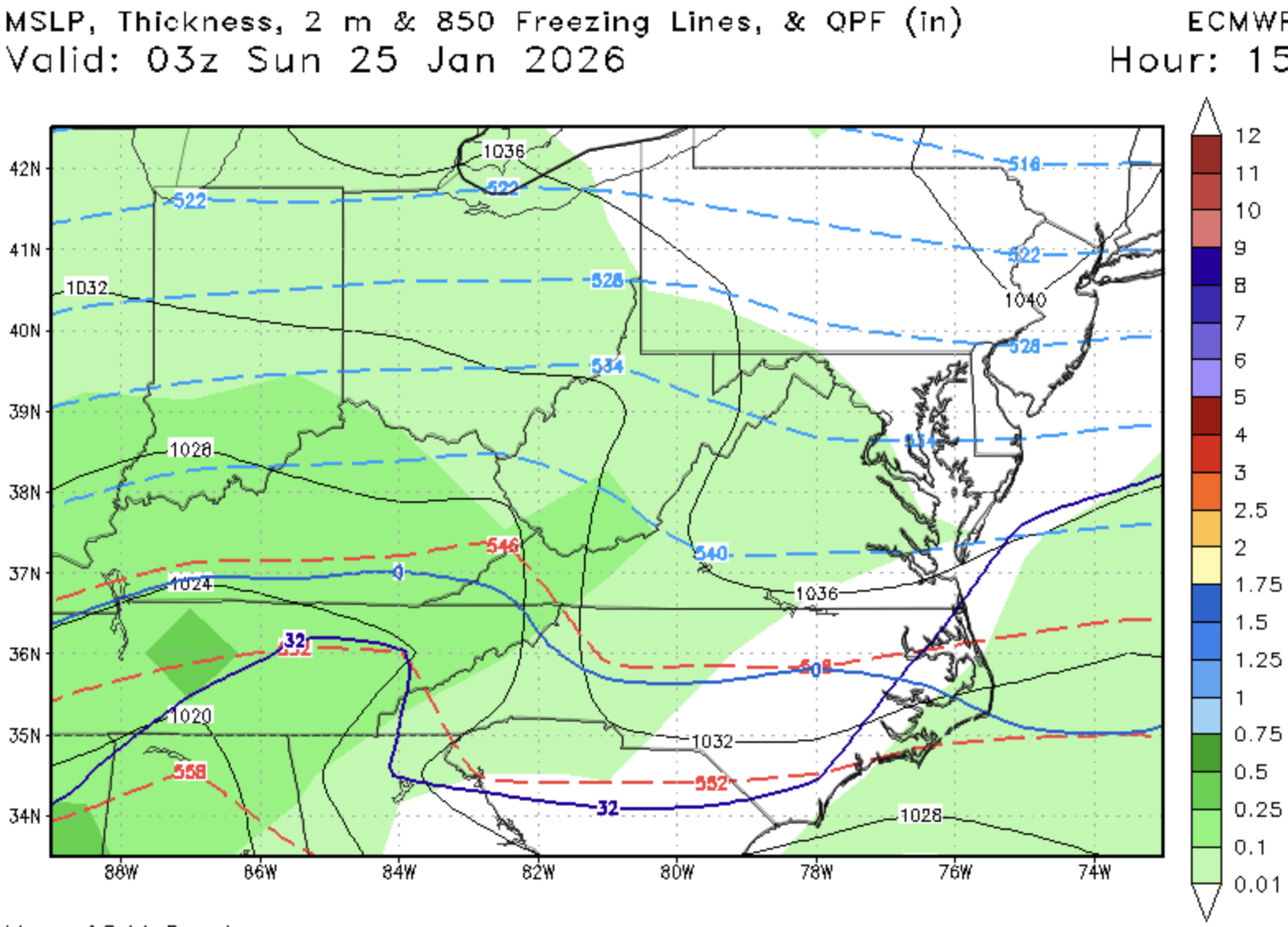
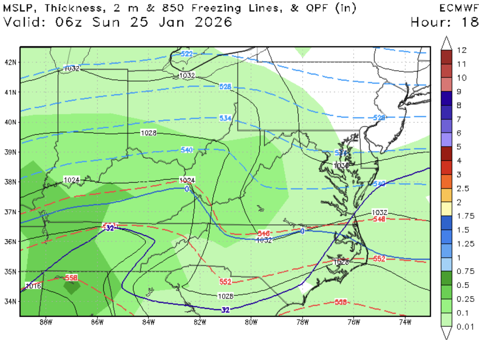
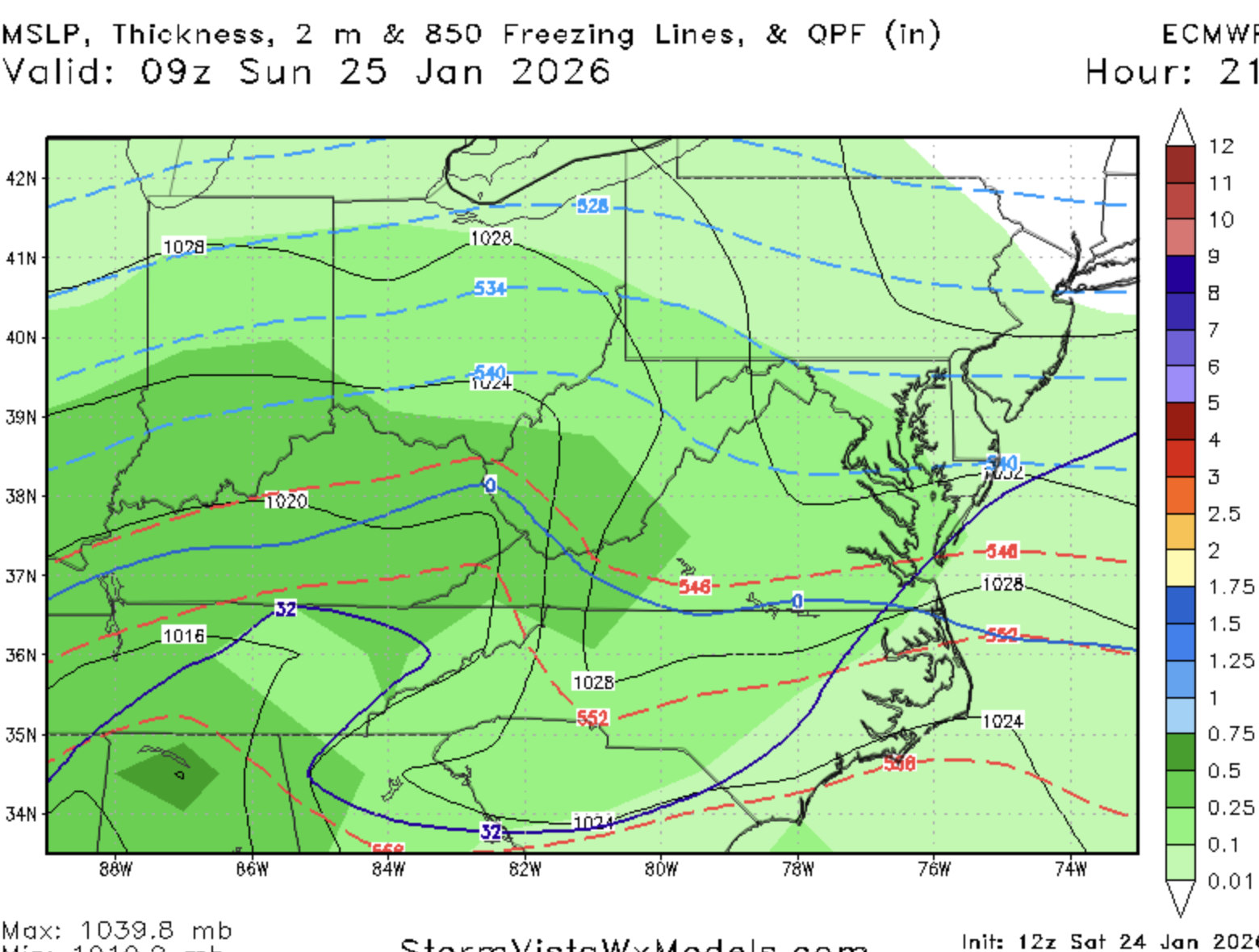
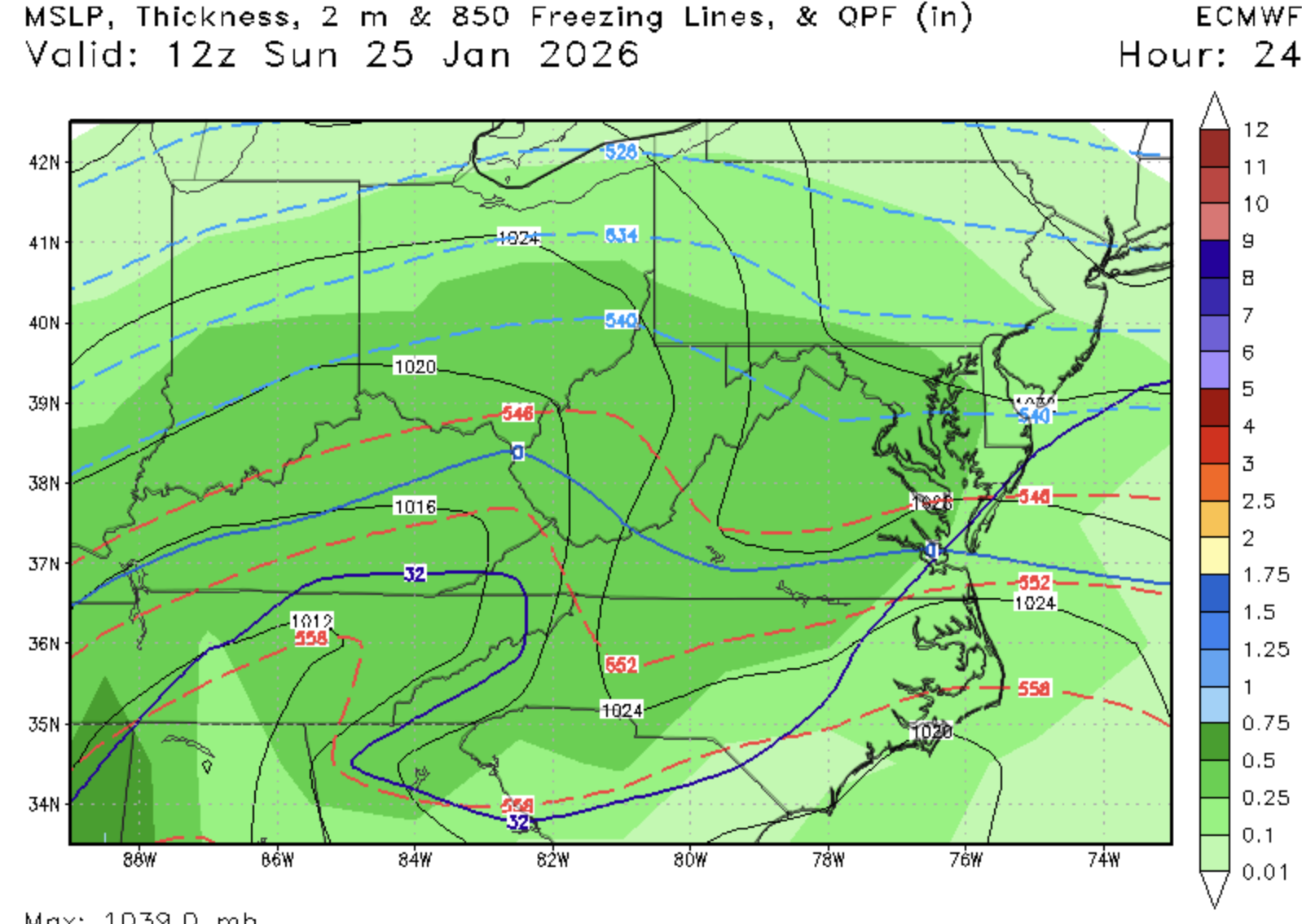
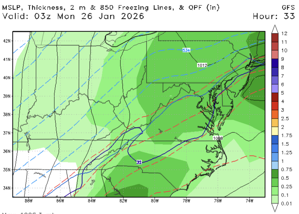
Well...good bit of QPF I guess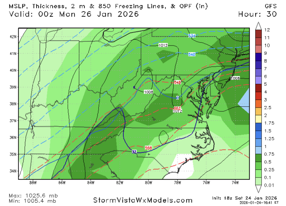
-
Jan 24-26 Weekend Snow and Sleetfest Model Thread Part Tres
stormtracker replied to H2O's topic in Mid Atlantic
-
Jan 24-26 Weekend Snow and Sleetfest Model Thread Part Tres
stormtracker replied to H2O's topic in Mid Atlantic
Sleet kingdom from here on out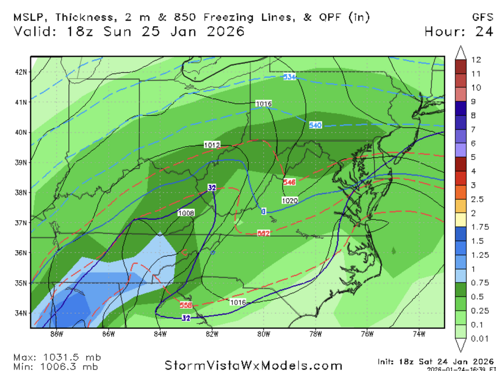
-
Jan 24-26 Weekend Snow and Sleetfest Model Thread Part Tres
stormtracker replied to H2O's topic in Mid Atlantic
Kinda hoping we hang on here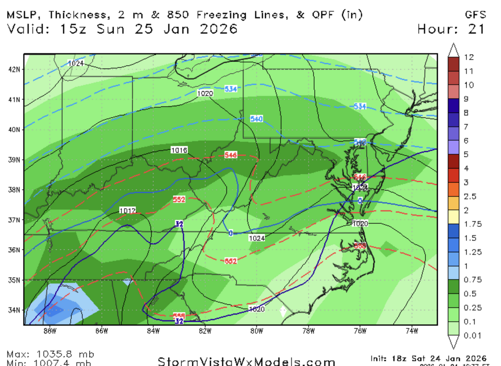
-
Jan 24-26 Weekend Snow and Sleetfest Model Thread Part Tres
stormtracker replied to H2O's topic in Mid Atlantic
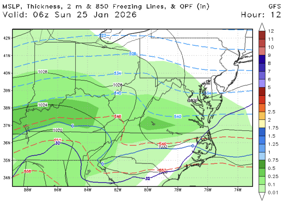
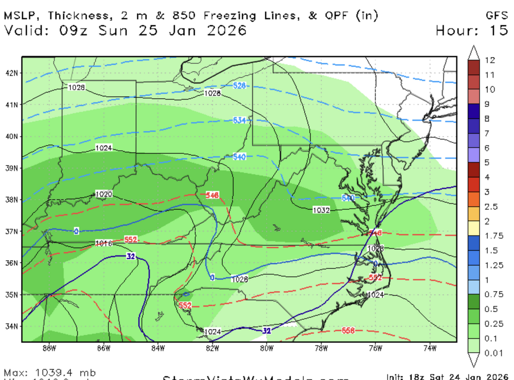
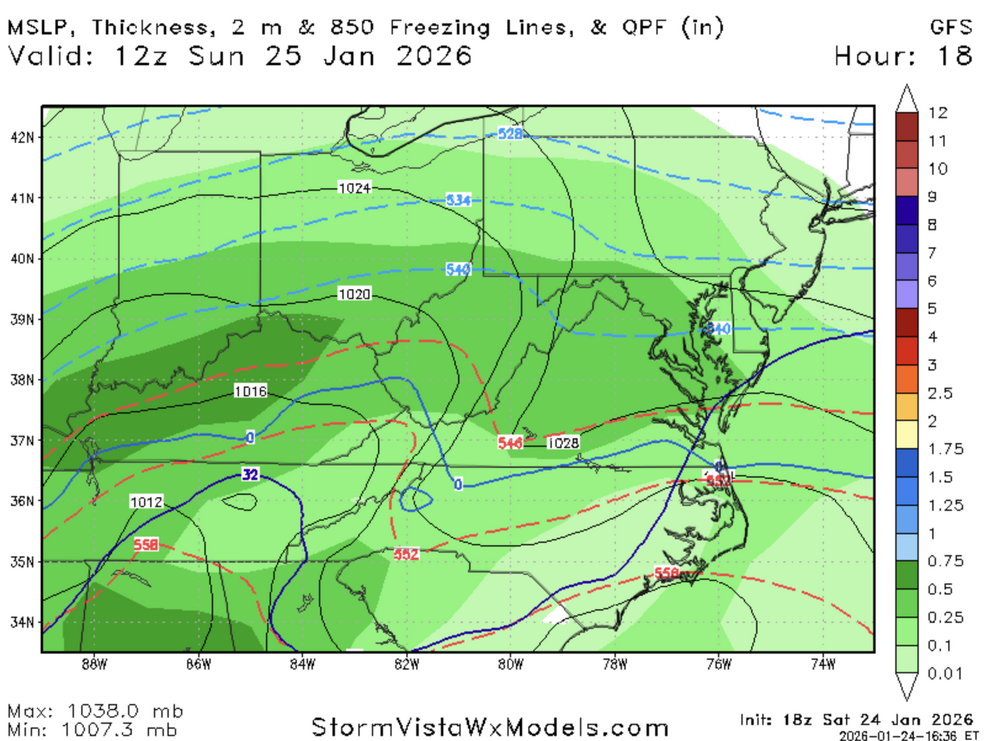
-
Jan 24-26 Weekend Snow and Sleetfest Model Thread Part Tres
stormtracker replied to H2O's topic in Mid Atlantic
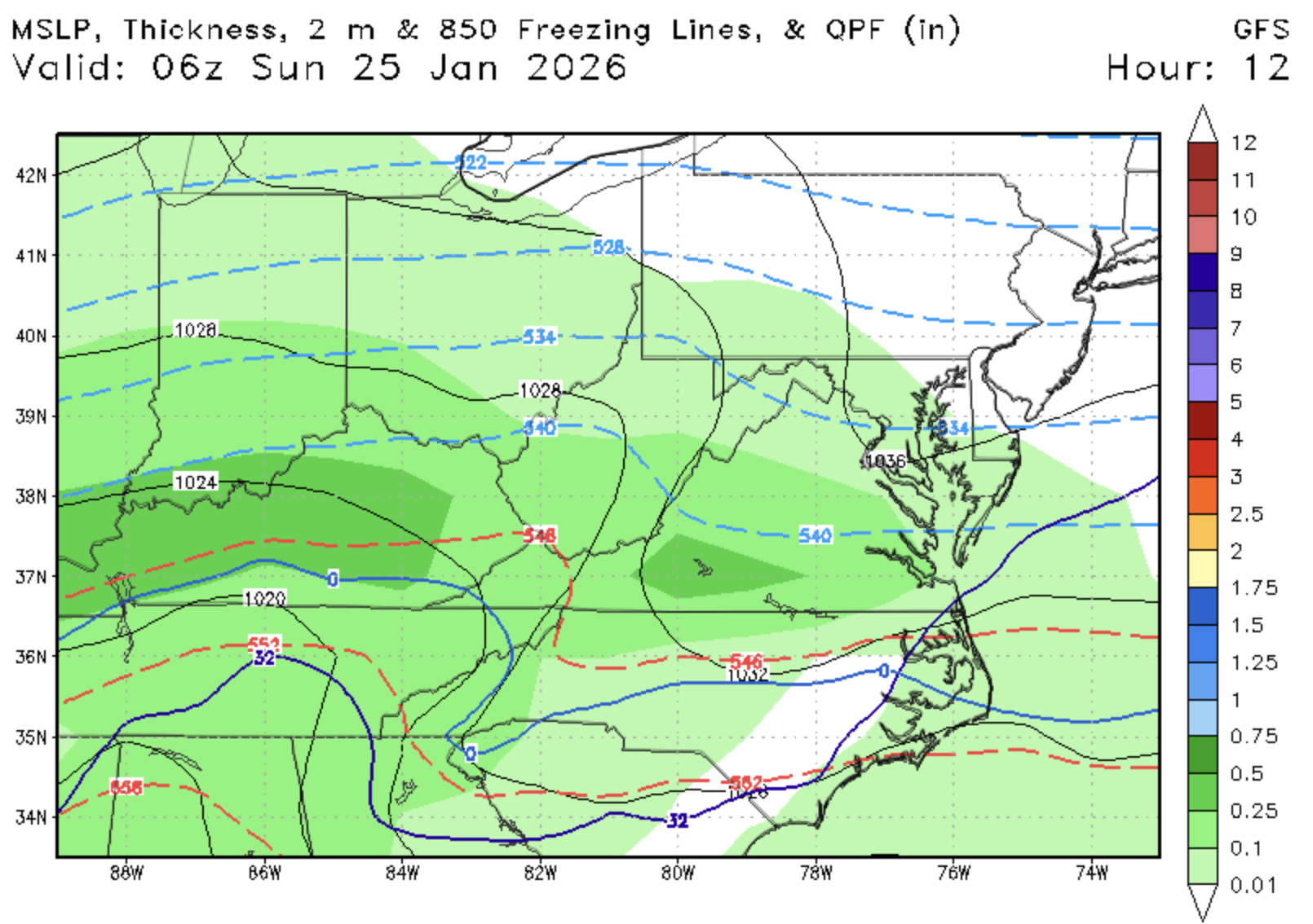
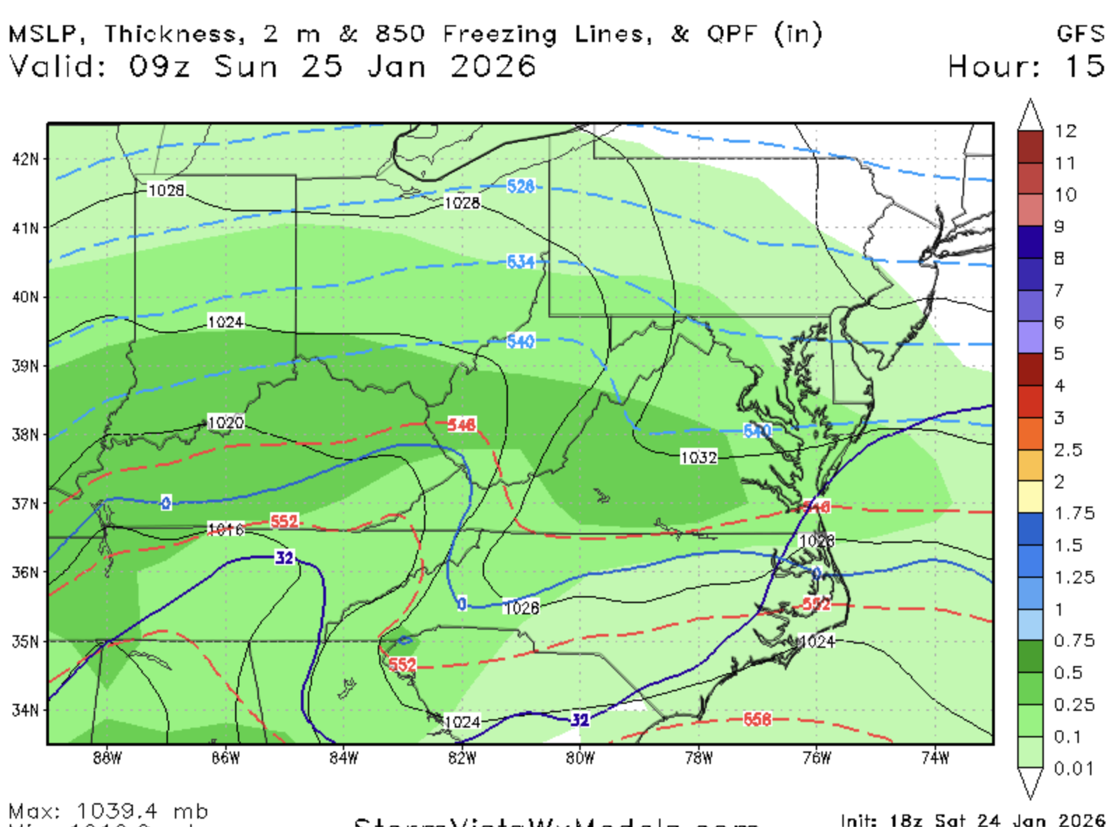
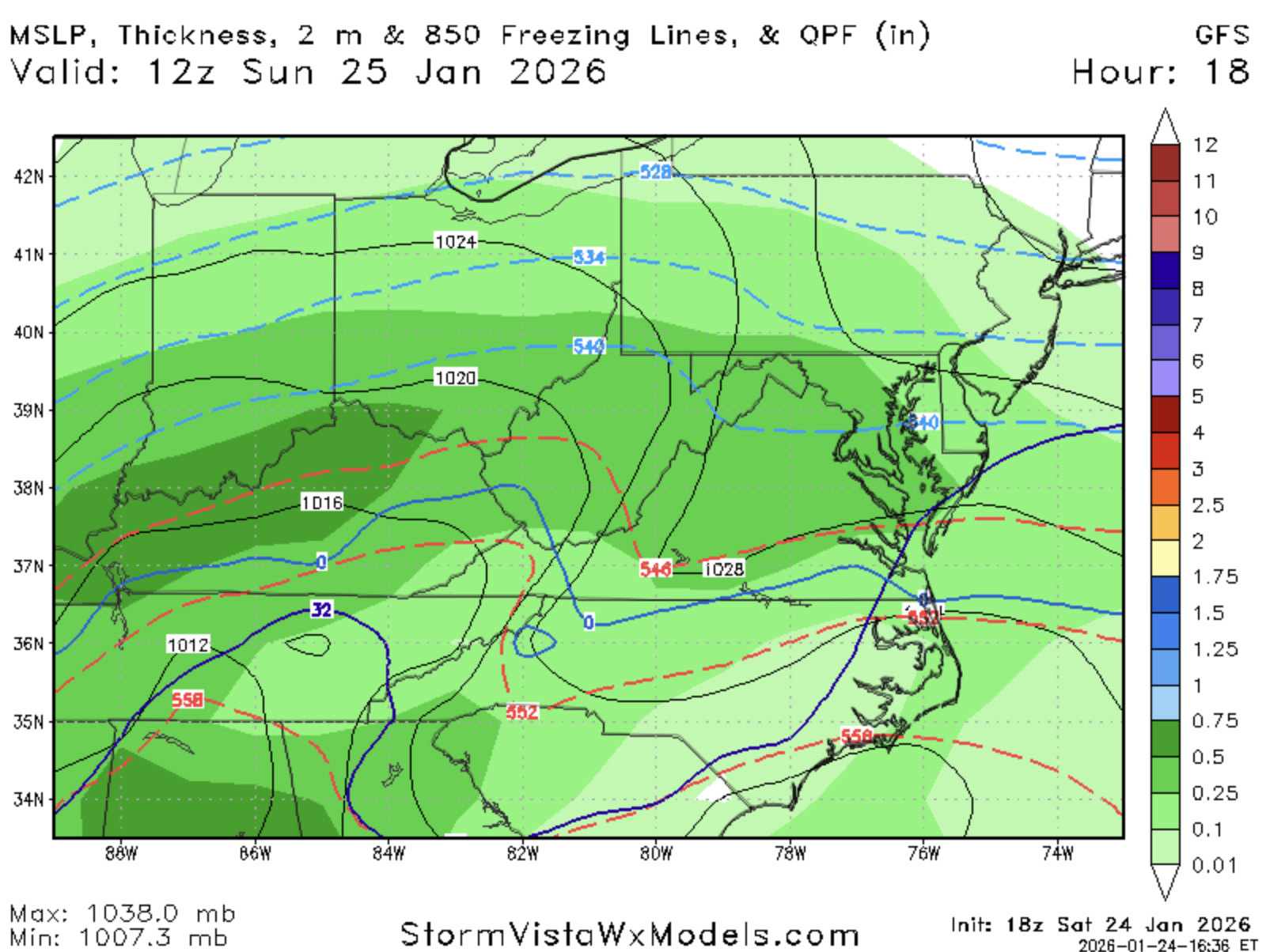
GFS has begun...I'll just post relevant panels as I get them -
Jan 24-26 Weekend Snow and Sleetfest Model Thread Part Tres
stormtracker replied to H2O's topic in Mid Atlantic
Don't know if it's reaching the ground, but there's a good slug of precip just NW of RIC https://weather.cod.edu/satrad/nexrad/?parms=LWX-N0B-1-24-100-usa-rad -
Jan 24-26 Weekend Snow and Sleetfest Model Thread Part Tres
stormtracker replied to H2O's topic in Mid Atlantic
I've mostly accepted the transition time. It's the thump QPF I was worried about. Feel a little better about this after your reply. -
Jan 24-26 Weekend Snow and Sleetfest Model Thread Part Tres
stormtracker replied to H2O's topic in Mid Atlantic
maybe @high risk can explain. Maybe lends to NAM being too dry. Weenie hope -
Jan 24-26 Weekend Snow and Sleetfest Model Thread Part Tres
stormtracker replied to H2O's topic in Mid Atlantic
Ah. hmm -
Jan 24-26 Weekend Snow and Sleetfest Model Thread Part Tres
stormtracker replied to H2O's topic in Mid Atlantic
Trust me, learned my lesson. Not dismissing it at all wrt thermals -
Jan 24-26 Weekend Snow and Sleetfest Model Thread Part Tres
stormtracker replied to H2O's topic in Mid Atlantic
virga? -
Jan 24-26 Weekend Snow and Sleetfest Model Thread Part Tres
stormtracker replied to H2O's topic in Mid Atlantic
-
Jan 24-26 Weekend Snow and Sleetfest Model Thread Part Tres
stormtracker replied to H2O's topic in Mid Atlantic
-
Jan 24-26 Weekend Snow and Sleetfest Model Thread Part Tres
stormtracker replied to H2O's topic in Mid Atlantic
If we dont change till 15z, I'd say that's pretty good -
Jan 24-26 Weekend Snow and Sleetfest Model Thread Part Tres
stormtracker replied to H2O's topic in Mid Atlantic
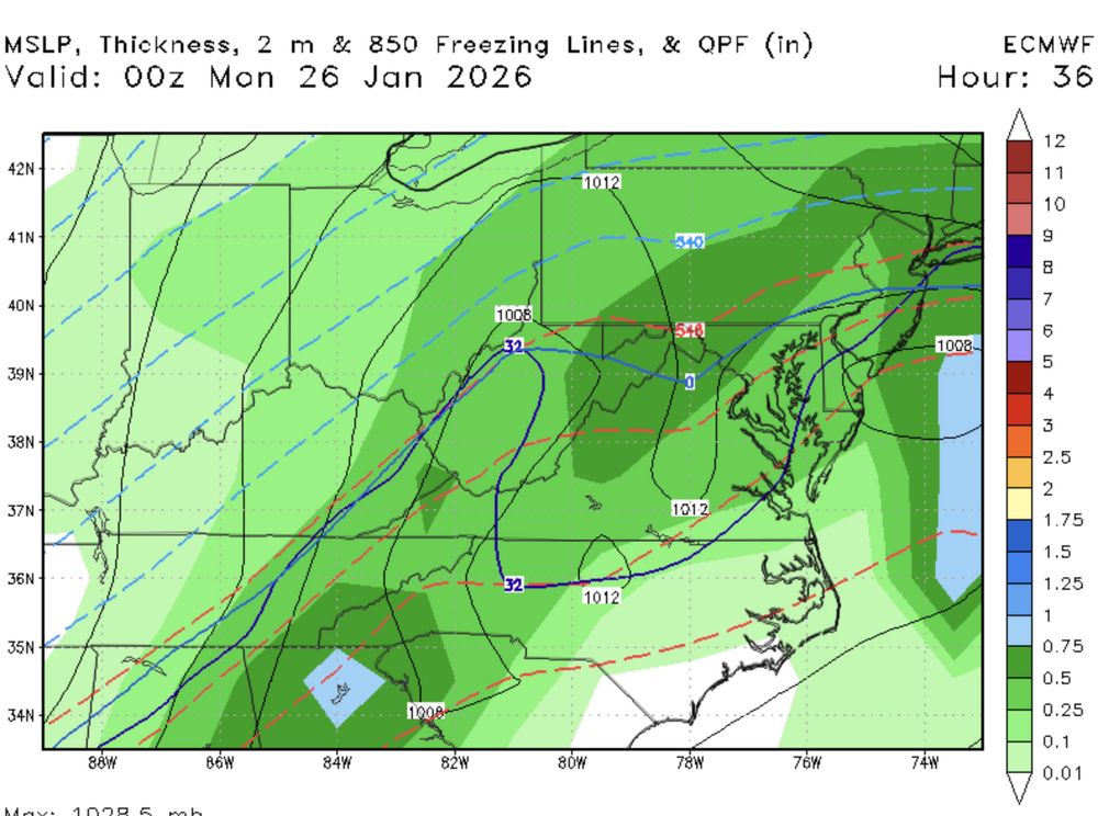
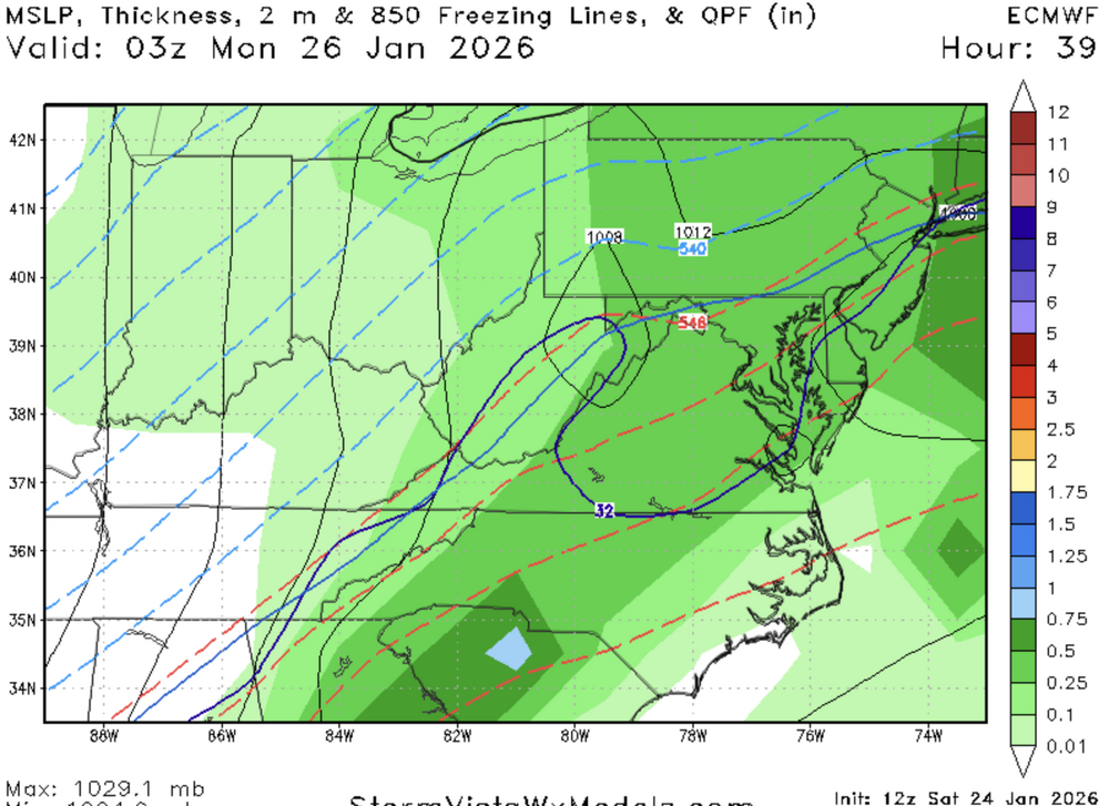
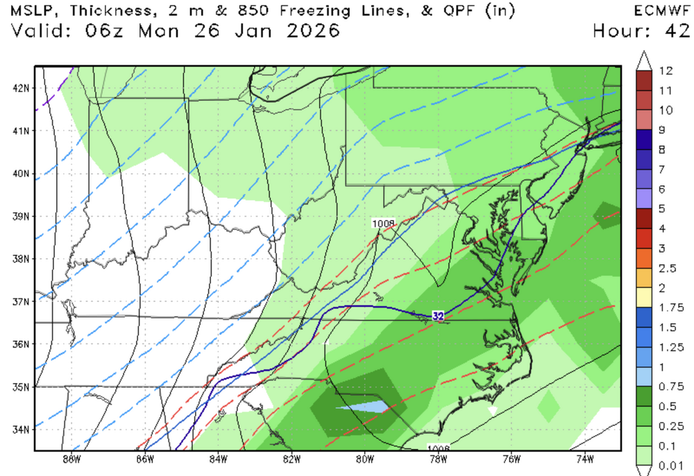
-
Jan 24-26 Weekend Snow and Sleetfest Model Thread Part Tres
stormtracker replied to H2O's topic in Mid Atlantic
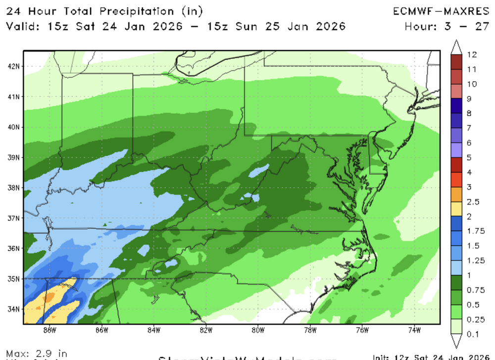
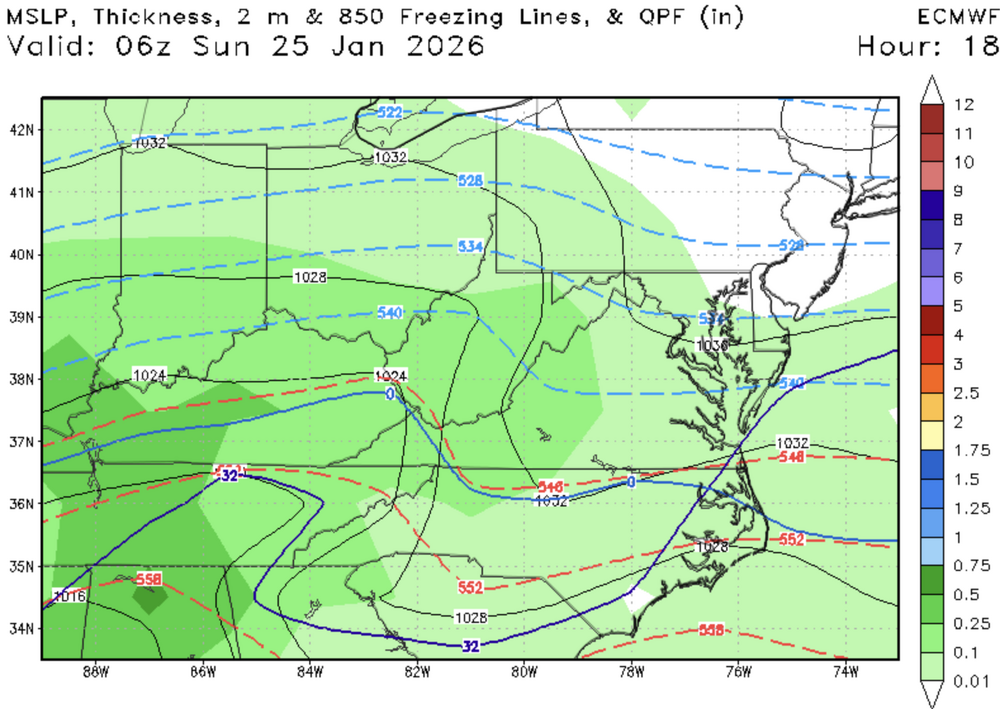
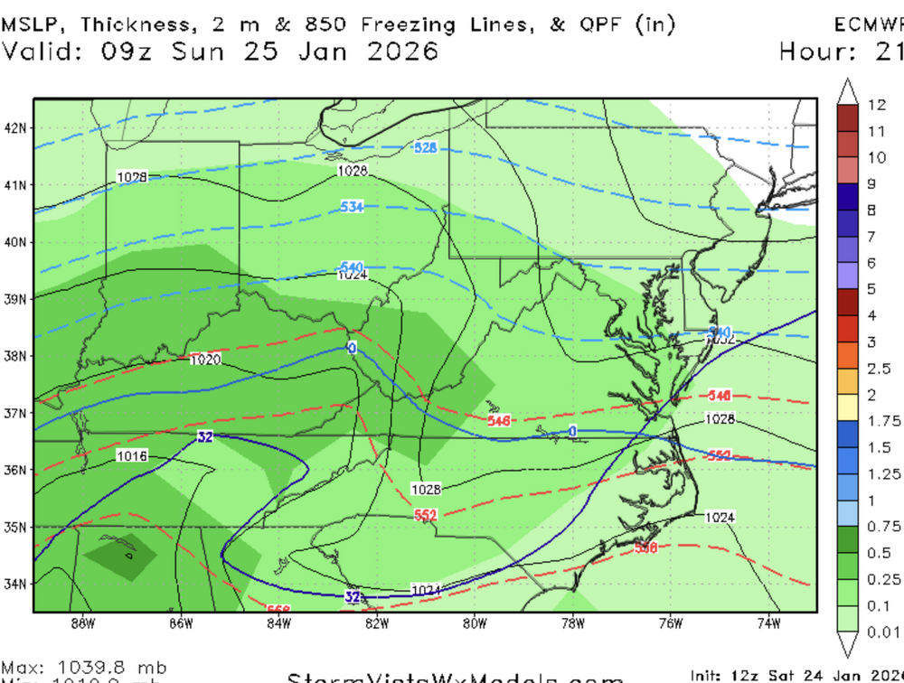
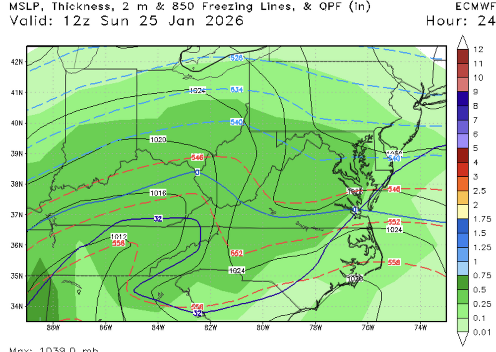
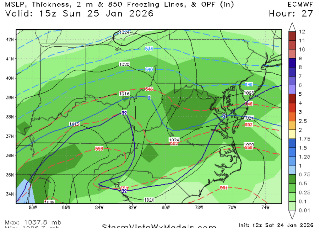
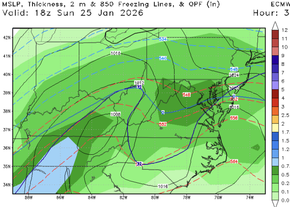
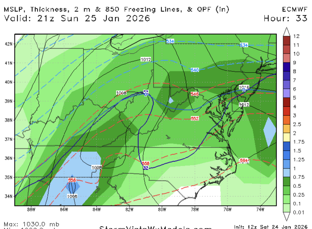
Seems wet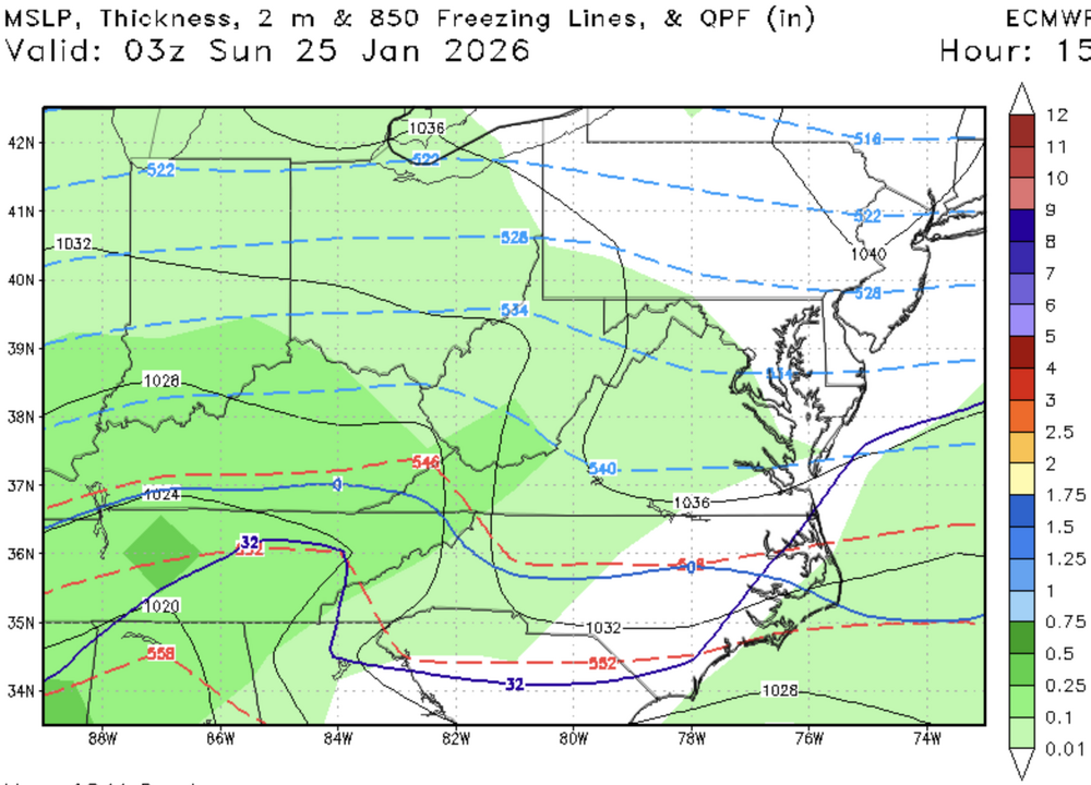
-
January 24-26: Miracle or Mirage JV/Banter Thread!
stormtracker replied to SnowenOutThere's topic in Mid Atlantic
It triggers me something awful. Every time. -
Jan 24-26 Weekend Snow and Sleetfest Model Thread Part Tres
stormtracker replied to H2O's topic in Mid Atlantic
I hope so, but my problem with that theory is that the models are purely math and physics based. I would think they "know" the law of physics and have worked out the correct possibilities and somehow figured that out. Again, I hope it's wrong. Regardless, at this point I'm glad we got something to talk about and not sitting here saying 10 more days away...