Moonhowl
-
Posts
691 -
Joined
-
Last visited
Content Type
Profiles
Blogs
Forums
American Weather
Media Demo
Store
Gallery
Everything posted by Moonhowl
-
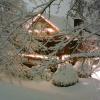
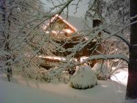
Looking like this in Asheville:
-
I would say less than 2" in this neck of the woods. On a positive note, I don't have to shovel the driveway. After getting a white Christmas anything else this winter is gravy for me anyway.
-
Its acceptable for anyone who used to have the moniker AshevilleDon to butt in on the mountain thread Happy New Year back at you! About 4 to 6" is my sweet spot for a good snow storm; hopefully we will be in the range in Avl. I don't want to worry about trees coming down and power outages. I experienced the blizzard of 93; it was awesome but don't need to see that again.
-
Bottomed out at 10.0 F IMBY. Nice chilly way to top off a white Christmas.
-
Have a great trip and enjoy the white Christmas!
-
Looks like we may score enough down here in the French Broad Valley to get my first white Christmas ever. I was visiting relatives in Raleigh during the 2010 storm which was a Boxing Day storm for Raleigh although did see some flakes well after dark on Christmas. The wife and I will be hanging out by the wood stove and hopefully seeing at least some flurries after sunrise on Christmas day. Merry Christmas everyone!! now time to go check on the NAM
-
32.5 F IMBY and thankfully not seeing any ice
-
Still quite toasty at 34 F IMBY.
-
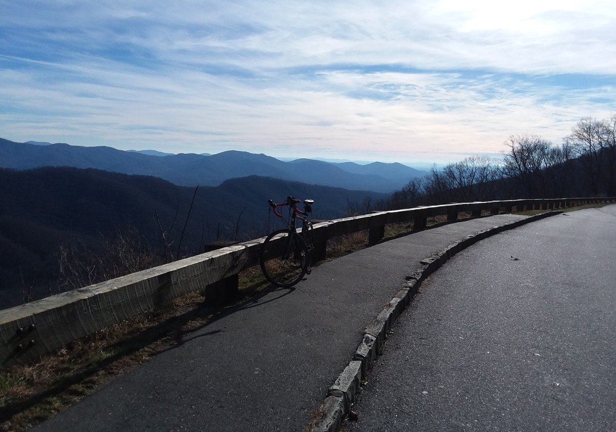
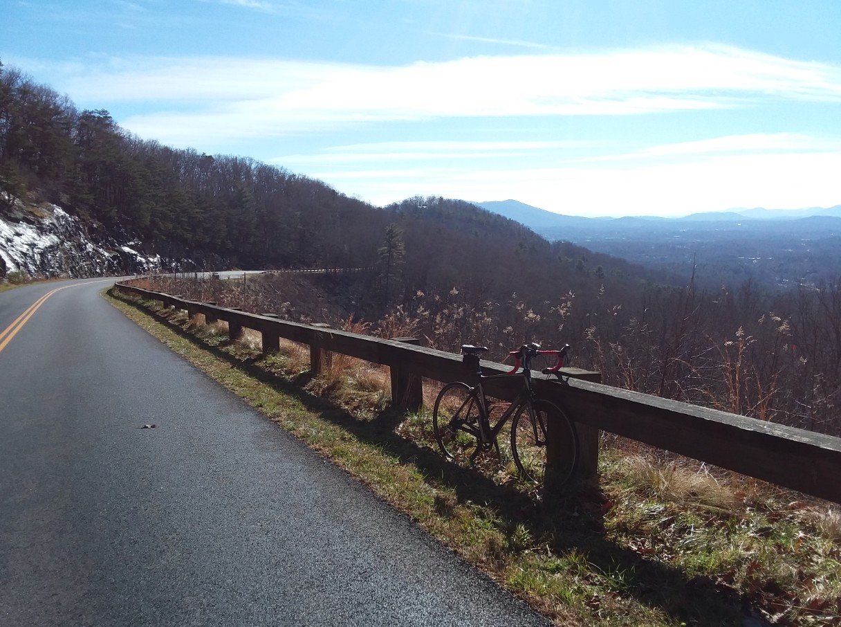
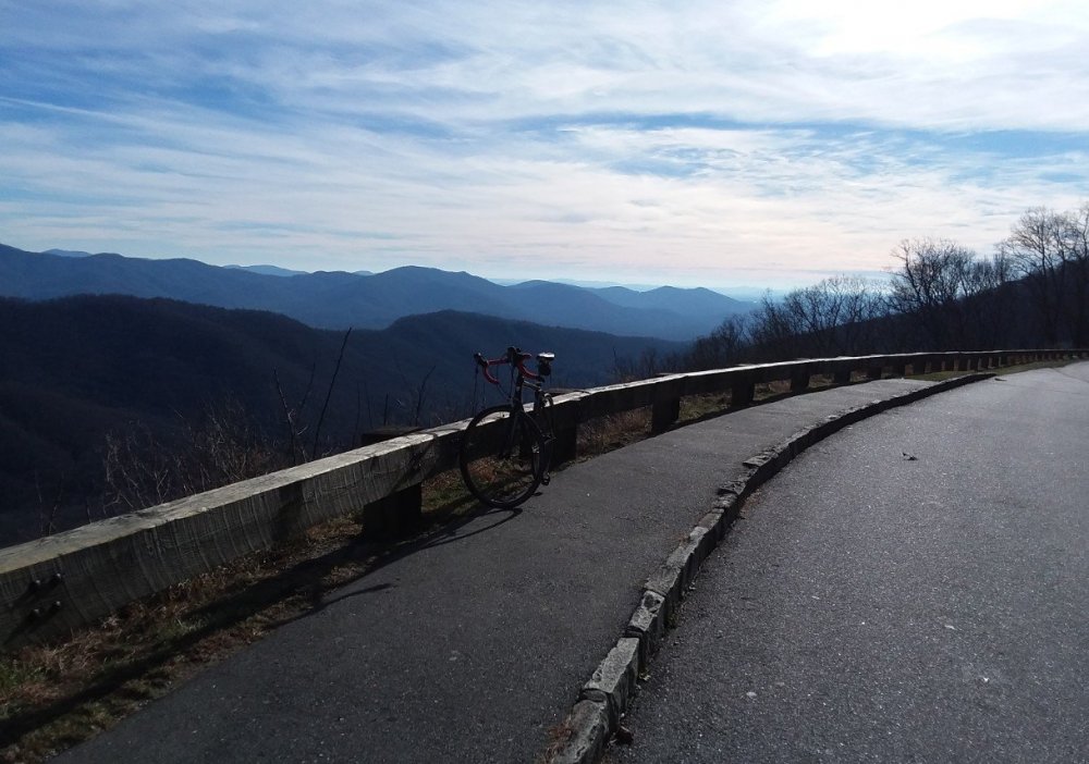
Seized the opportunity to take a pre-storm ride on the closed Blue Ridge Parkway; there were still a few small ice patches this afternoon but absolutely beautiful day! Would not want to be on it tomorrow morning.

-
After multiple years of excess rain and raining or the threat of rain every day throughout this past summer, I have thought that a dry spell would be nice. But in the back of my mind it has always been be careful what you wish for. Party Rock/Lake Lure and Gatlinburg/Pigeon Forge...wasn't that long ago.
-
Happy Thanksgiving everyone!
-
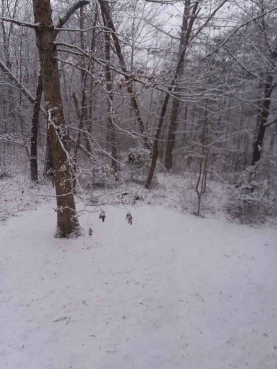
Look forward to hopefully seeing some snow flakes in December; for now I like seeing this thing of beauty:
-
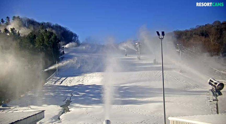
Cataloochee this morning:
-
There are some snow blowers running at the top of Cataloochee right now.
-
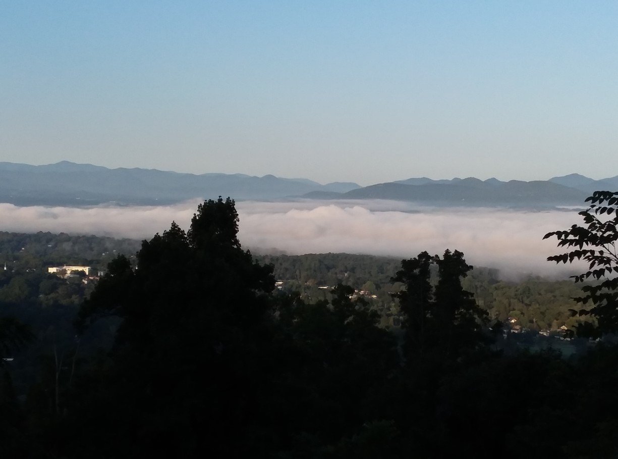
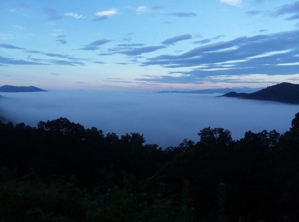
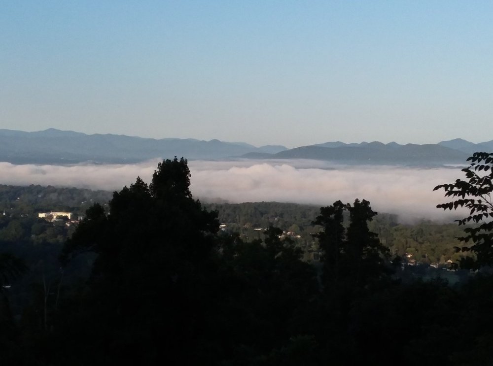
I may have posted at least one of these inversion photos before. You can barely see it but the first photo shows what I believe is a bit of an energetic heat plume from the Skyland plant breaking through the inversion layer. The second photo, seems to include moisture from the French Broad River:
-
That would be far superior to getting the flip to cold at the beginning of April like this past one.
-
Bottomed out at 27 F IMBY.
-
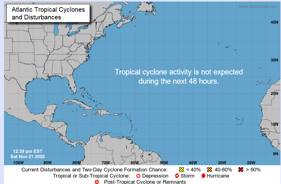
Glad Zeta from where I am sitting was not remotely as bad as Ivan or Opal and despite the very active season the mountains in general have not had the horrible tropical season that was in 2004. Hopefully done with the tropics but not counting on it (something brewing out there now); looking forward to seeing some snow. Happy Halloween
-
Just had the strongest gust so far; still think it was below 40 mph
-
So far max at KAVL has been 33 mph.
-
Holy cow! I still don't think I have topped 30 mph IMBY and hope it stays that way.
-
Duke Energy outage map
-
So far the wind has not been bad down here in the valley (famous last words); fortunately the rain is starting to slack off. About 3.3" IMBY.
-
I don't like the sound of that (yes, bad humor)
-
I am guessing gusts around 25 mph so not looking good for the power when it increases. Per Duke Energy there is an outage relatively close to me which I am sure is related to the power blinking I was experiencing.