

zenmsav6810
-
Posts
972 -
Joined
-
Last visited
Content Type
Profiles
Blogs
Forums
American Weather
Media Demo
Store
Gallery
Posts posted by zenmsav6810
-
-
7 hours ago, Ralph Wiggum said:
GEFS and GEPS and EPS to a degree all have a small window around the 29th with a system tracking under us. Problem is antecedent airmass may not be too favorable. CMC and GFS op are close to something. Looks like a spring storm with higher elevations favored.
Looking out into fantasy land, weird to keep seeing something consistently popping up on the super extended stuff centered around Presidents Day. Big ones sniffed out early
 ?
?
Don't they normally tend to trend North as the date gets closer? ...Roll out the hot dog cart. Suppression at this range isn't super concerning- something to keep an eye on certainly.
-
 1
1
-
-
We might be seeing some high ratio snow with this setup so I think the widespread 4-6" is a good call. With some luck and if this Norlun (which don't always show up on modeling) gets pumping the moisture somebody could Jackpot with 8" or 10" (maybe in Nantmeal, Huff's Church, Finland Village etc.). Although I think we'll be seeing more like 3-4" imby.
-
1
-
-
39 minutes ago, MGorse said:
A note regarding the NWS total snowfall graphic.
If the forecast amounts just cross over a whole number it bumps to the next range. For example, an area of 4.1 to 4.5 inches will be plotted as 4-6 inches. In this case, the forecast actually is not for 5-6 inches.
I could see how this might be a point of confusion with the public.
-
1
-
-
14 hours ago, Birds~69 said:
The entire coaching staff will be canned...
Something went wrong in the club house. Teams just don't just wake up bad after going 9-1. Have a feeling it centered around Kelce.
-
 2
2
-
-
went from a dry powdery snow to ZR in pottstown this morning
-
flurries for the last 2 hours here.
-
5 hours ago, Ralph Wiggum said:
6z GFS has @Albedoman's clipper swinging thru the midwest finally at 384hr. He says the clipper is what will finally usher in winter for us by the 3rd week of January as per his years of experience. We shall see....the clipper may end up actually being the end of our run instead of the start ironically.
Isn't a clipper what started the whole chain of events in winter '09-'10?
-
16 hours ago, zenmsav6810 said:
Power has been out since 8:30pm last night.
power came on at 5pm
-
1
-
-
Power has been out since 8:30pm last night.
-
Very Blustery out there! Powerflickered a few times... At the factory, I ordered that we did not start one of our sensitive jobs to avoid complications from a potential outage.
-
1
-
-
20 minutes ago, Ralph Wiggum said:
Can't even hit 60F this winter to setup a Wiggum Rule event. What gives?
The rain warmeth, the rain cooleth away?
-
10 minutes ago, Albedoman said:
Yes yesterday or on Thursday I said they should post winter storm warnings for the LV. I have over 6 inches IMBY here in Macungie. Guess what, as usual, they issue a winter storm warning just now. Too late to stop people from clogging up the roads with accidents but whatever.
URGENT - WINTER WEATHER MESSAGE
National Weather Service Mount Holly NJ
822 PM EST Sat Jan 6 2024

PAZ061-062-071100-
/O.UPG.KPHI.WW.Y.0001.000000T0000Z-240107T1100Z/
/O.EXB.KPHI.WS.W.0001.000000T0000Z-240107T1100Z/
Lehigh-Northampton-
Including the cities of Allentown, Bethlehem, and Easton
822 PM EST Sat Jan 6 2024

...WINTER STORM WARNING IN EFFECT UNTIL 6 AM EST SUNDAY...

* WHAT...Heavy wet snow. Additional snow accumulations of up to
  3 inches. Winds gusting as high as 35 mph.

* WHERE...Lehigh and Northampton.

* WHEN...Until 6 AM EST Sunday.

* IMPACTS...Travel could be very difficult.

* ADDITIONAL DETAILS...The heaviest accumulations will be in
  northern and western parts of the counties across the higher
  elevations.

PRECAUTIONARY/PREPAREDNESS ACTIONS...

If you must travel, keep an extra flashlight, food, and water in
your vehicle in case of an emergency.

The latest road conditions for the state you are calling from can
be obtained by calling 5 1 1.
I think they did a fine job. Thats why they reserve the right to upgrade storms. I think people had a good grasp of what was coming... its just been a while since we've been through the routine. Over do the warning... and nobody honors it the next time.
-
 1
1
-
-
Switched back to snow here. Bear Creek Mountain Resort [Doe Mountain] has fought a galant fight to stay mostly snow this whole time by my periodic observations of the webams. Open for business tomorrow-- plenty of pent up demand for sure!
-
Sleet here in pottstown too... : (
-
Light Flakes in Chester County Pottstown.
-
2
-
-
2 minutes ago, MacChump said:
this storm irritates the shit out of me
29 degrees
Just remember the weather is bigger than you are! Best be prepared!
-
2 minutes ago, Beagles20 said:
I apologize, I am trying to remember with the frontogenesis, does the heavy snows occur below or on the north or south side?
It has more to do with how the warm front and cold front are orienented to each other.
-
1
-
-
Just now, CoolHandMike said:
Here's a good sign: we are only forecasted to get down to 26°F tonight. I'm currently sitting at 22. The forecast went from snow-->rain back to snow-->rain-->snow, so it would appear that the back-end thump might actually occur.
I have not once even so much as looked at my brand new, fancy-pants electric snowblower that I bought back in November '22. I refuse. It's actually become buried in the garage behind a ton of other crap. And there it shall remain, unless...
I actually thought today was warmer than progged and tonight colder than progged...cooled off quick this afternoon... weird.
-
1
-
-
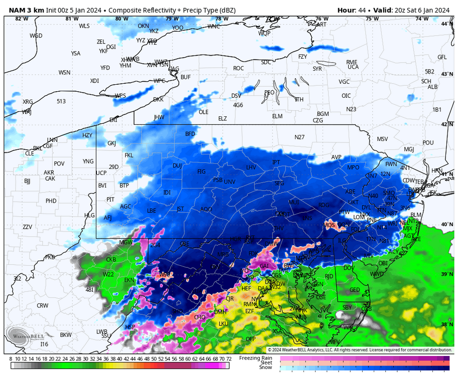
Nam says .... "raise the blizzard flag!"
-
 3
3
-
-
1 hour ago, anthonyweather said:

.I think its a solid map!
-
1
-
-
15 minutes ago, LVblizzard said:
3km NAM is cold AF. Starts as snow almost down to Dover!
The NAM didn't dissappoint...thats a weenie delight right there!
-
14 minutes ago, RedSky said:
Did AccuWeather really forecast C-2" up to Allentown?
10 minutes ago, penndotguy said:Mt. Holly going with 1-4 195 to I 78
If you actually look at the detailed forecast for each zip they are writing c-2" the snow map say 1-4 however.
-
1
-
-
29 minutes ago, Newman said:
Agree, we're in that time frame where you might expect a wonky NAM run in a good way
Were due to get NAM'd for sure.
-
2 hours ago, ChescoWx said:
Generally when I see a low track like that in January I expect snow to the N and W of the track at least 50 miles away from the ocean. That said there are other factors at play (mid levels etc.) it will not be an easy forecast and expect some more wild swings before we get to a solid forecast by Friday PM.
I just have a sneaky suspsion we end up with 1-3 inches of sloppy sheet. I have this weird feeling were are going take a whiff here folks.

January 19, 2024 Powder Snow Event
in Philadelphia Region
Posted
Preceding this event were a few lovely sunrises and sunsets.