
CoolHandMike
-
Posts
1,561 -
Joined
-
Last visited
Content Type
Profiles
Blogs
Forums
American Weather
Media Demo
Store
Gallery
Posts posted by CoolHandMike
-
-
2 minutes ago, Albedoman said:
sand mound septic systems are notorious for the lawn to dry our right away
May be true, but my lawn is starting to resemble this as well here in Reading. No septic system here. I'll take some pics tomorrow.
-
 1
1
-
-
Maybe try here:
-
 1
1
-
-
Ground was too hard to put our little flags in along the front lawn (the little kind with the wooden dowels) so they are scattered about in various planters instead. Had to mow the back yesterday--I think we had left it for more than two weeks. I wonder when we'll need to mow it again.
Not seeing any precip until at least 6/11 on the long range models. Wow.
-
I think we just might close out May with only .07" in the bucket. We had a burn ban in Berks last month with more measurable rain in the period preceding it than we've gotten for the entirety of May... I wonder what criteria need to be met for an issuance.
-
29 minutes ago, Birds~69 said:
How large is the barrel? 55gal or larger?
My friend has a 300gal bin he uses for garden/grass/outside stuff. All I can say is it fills up pretty quick w/a T-storm. Problem is we are lacking that this Spring and really nothing in the near future. If this was a normal Spring your barrel would probably be full.
Rain just about done, enough to wet the streets.
55gal. We're looking to get another one for the front. We have a split-level house, so the roof geometry is... interesting. But yeah, any other year I'm sure it would be full by now. My dang grass is starting to go to seed after just being mowed a week ago. It's the damndest thing.
-
.03". Our rain barrel is situated in the back yard, and will eventually feed off of about 1/4 of my roof. One of the gutters feeding it has had a low spot and a leak since we moved here several years ago and I've been putting off fixing it. Well I guess it rained enough to start leaking again, so I hope *something* made it into the rain barrel. I guess it's finally time to do something about that.
Ever the data-acquisition nerd that I am, I'm most curious to see how I can correlate the amount of rain in my gauge to whatever volume fills the rain barrel. I can do quick, back-of-the-envelop math, but it will be nice to have actual, empirical data. Maybe we'll have some actual precip in mid June. Meh.
-
5 hours ago, RedSky said:
Enough of the cold May days already, actually maybe finally it will be after tomorrow.
I think the only reason I'm looking forward to warmer temps is the increased chances of atmospheric instability. It's so dry here. We had 3" of rain at the end of April and nadda since.
I think... I think this again might be my fault. Last November I bought a fancy-pants, new electric snowblower that saw virtually zero use last winter. Just a week ago, I installed a really pretty, 55gal rain barrel off the side of the house. Am I cursed? I mean, I'm an atheist, so no, but still. Am I? lol global weirding in full effect
-
1
-
-
It was nice and cloudy after I signed off work, so I decided to tackle the 7 yards of mulch in my driveway. Wouldn't you know it, the sun just had to pop out 30 minutes in and I was done.

Taking a water break and getting back at it.
-
1 hour ago, WarrenCtyWx said:
A low in the mid 30s at night this time of year is pretty unusual but not quite off the charts. May 18-21 in 2002 had 4 straight days of high temperatures in the 50s and lows near freezing at ABE. That’s pretty insane.
Yeah we've got a lot of veggies already planted, so a frost advisory would be pretty devastating at this point. It's akin to what farmers must feel like, being helpless to the whims of the weather. Only it's a small, backyard garden for us and we'll survive either way. Personally, I just want to make a crap-load of tomato sauce is all.
")
-
Was a very nice couple of days today and yesterday, got so much yard work done. We more than doubled our garden square footage to ~200 sq ft this year, replete with soaker hoses, and I installed a 55gal rain barrel on one corner of the house. Now we just need it to rain. There's been no measurable rain in two weeks and it is starting to show. String-trimming the narrow ditches at the edges of our lawn yields giant dust clouds these days, and the trees are clearly stressed as evidenced by all the winged maple seeds from yet another mast year (last one was just two years ago). Yesterday's rain almost completely missed us, with just a couple of drops here and there, but nothing in the gauge. Last year by this point we had ~3" for the first two weeks of May. I'll be surprised if we don't get another burn ban up here in Berks if this continues. It's been so dry that I'm getting static electrical shocks exiting my car.
-
1
-
-
Clouds broke and guess what.
-
I think we're lucky here in that it's been cloudy almost all day. We'd be in the 90's for sure otherwise.

-
Looks like the bulk of today's rain will pass to my south. Time to start sorting out the soaker hoses.
-
1
-
-
4 hours ago, Birds~69 said:
Just was under one of these pop up showers. Dark clouds, big widely spaced drops for 2 minutes.
57F/Windy...not a good baseball cap wearing day.

Exactly what we just had.
Spent the day alternating between putting on and taking off my jacket as the sun and the clouds competed for dominance at a site in Manayunk. Such wild temperature swings in the space of a few minutes happened all day. My face is wind-blown. What a weird start to May.
-
1
-
-
Hit 2.5" for the day. Amazing. Even more so if you have a look at local stream gauge data. Virtually nothing is in even "near" or "minor" flood stage in our region, even with sustained rain over much of the day. That's how dry it's been this month.
https://water.weather.gov/ahps2/index.php?wfo=phi

-
1
-
1
-
-
2.15". I'm in the firehose.
-
Now thundering just south of us. 1.63" on the rain gauge.
-
1 minute ago, Hurricane Agnes said:
Was getting ready to say... I was wondering if you were under that fire hose that formed or were getting shafted on either side!

Our lucky day finally! My mom (about an hour south) said they are getting lightning.
-
 1
1
-
-
This is the rain we needed. More coming down as well. Finally getting a system to train over us instead of a dry slot! Here's our total for this weekend:

-
1
-
-
4 minutes ago, Albedoman said:
I am here. I watch this page daily. Nothing to comment on as it has been pretty stagnant weather so far. I want to see some convective production with temps in the low 80's. Yes, this weekends rain will put in a moderate dent in our rainfall deficit but the base stream flows are down big time because of the lack of snow cover this past winter. We need weeks of this type of moderate rain to put a significant dent in the drought. The trees, grass and gardens are drinking big time right now as they green up but the groundwater levels are still falling.
That's kinda what I said earlier, 100% agree. This is a nice respite, but we need more. Hopefully Sunday's event pans out in similar fashion.
-
1
-
-
.7" IMBY, let's goooo!
-
Made it over half-an-inch. NOW we're talking.
-
This storm wants to fringe me so hard. At least it's been a nice, quiet, rainy day, and I found some time to bake a couple of batches of bread! Hearing pretty much non-stop sirens for the past few hours, it seems like everyone completely forgot how to drive in the wet again. Reminds me a lot of SoCal when the rainy season starts up in the fall, actually.
Anyway, .37" is hardly going to put a dent in our overall dry conditions up here, but at least it's not a complete deluge that just runs right off into the river. This will soak in a little bit. Forecast calls for rain pretty much through to tomorrow afternoon, so we shall see.

-
1
-
-
Has just BARELY begun to sprinkle. I remain skeptical.


E PA/NJ/DE Spring 2023 OBS Thread
in Philadelphia Region
Posted
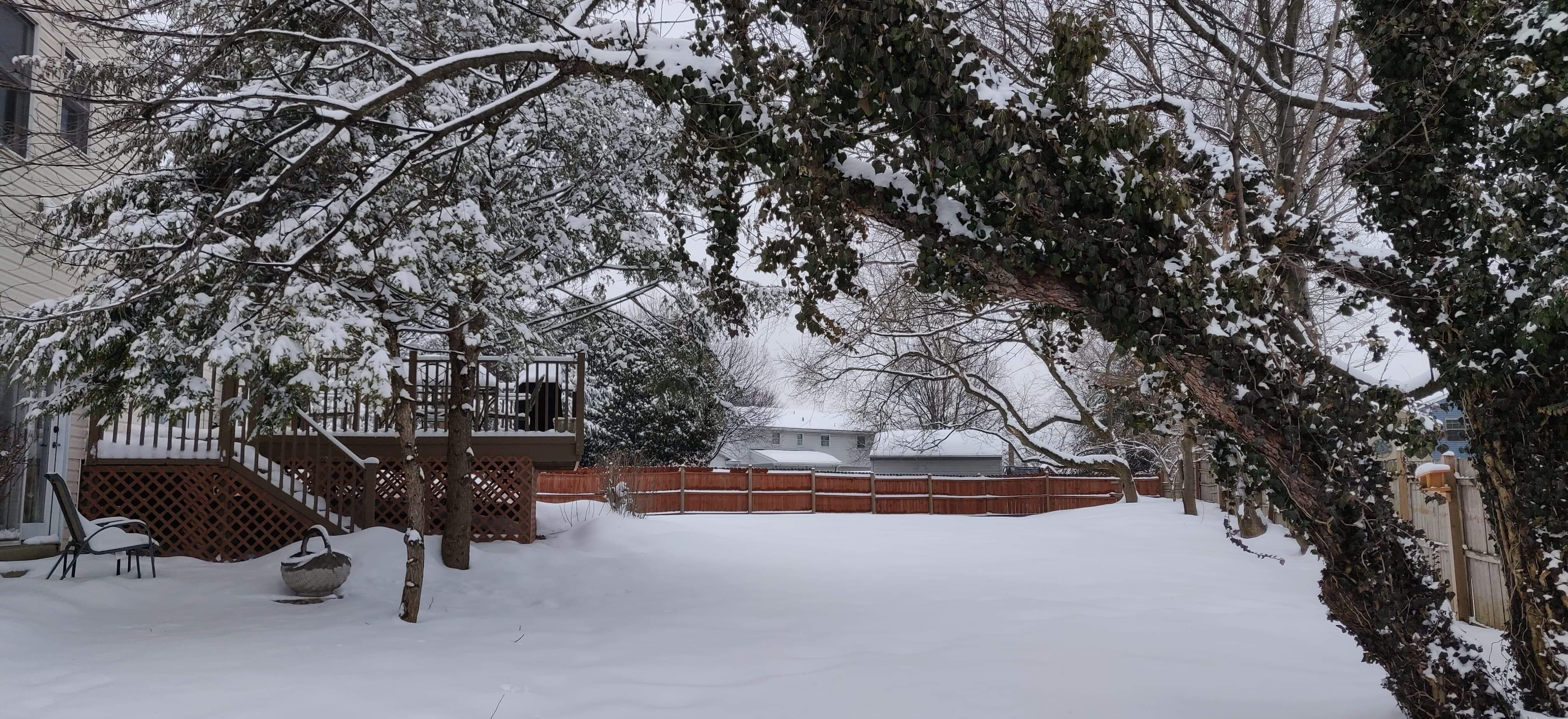
Posting this for posterity.