
BretWx
-
Posts
1,453 -
Joined
-
Last visited
Content Type
Profiles
Blogs
Forums
American Weather
Media Demo
Store
Gallery
Everything posted by BretWx
-
I’ll be happy to hit 4 honestly. Just started coming down moderately. Going to have to watch the radar alllllll day. Some of the short terms have it snowing up until 5-6.
-
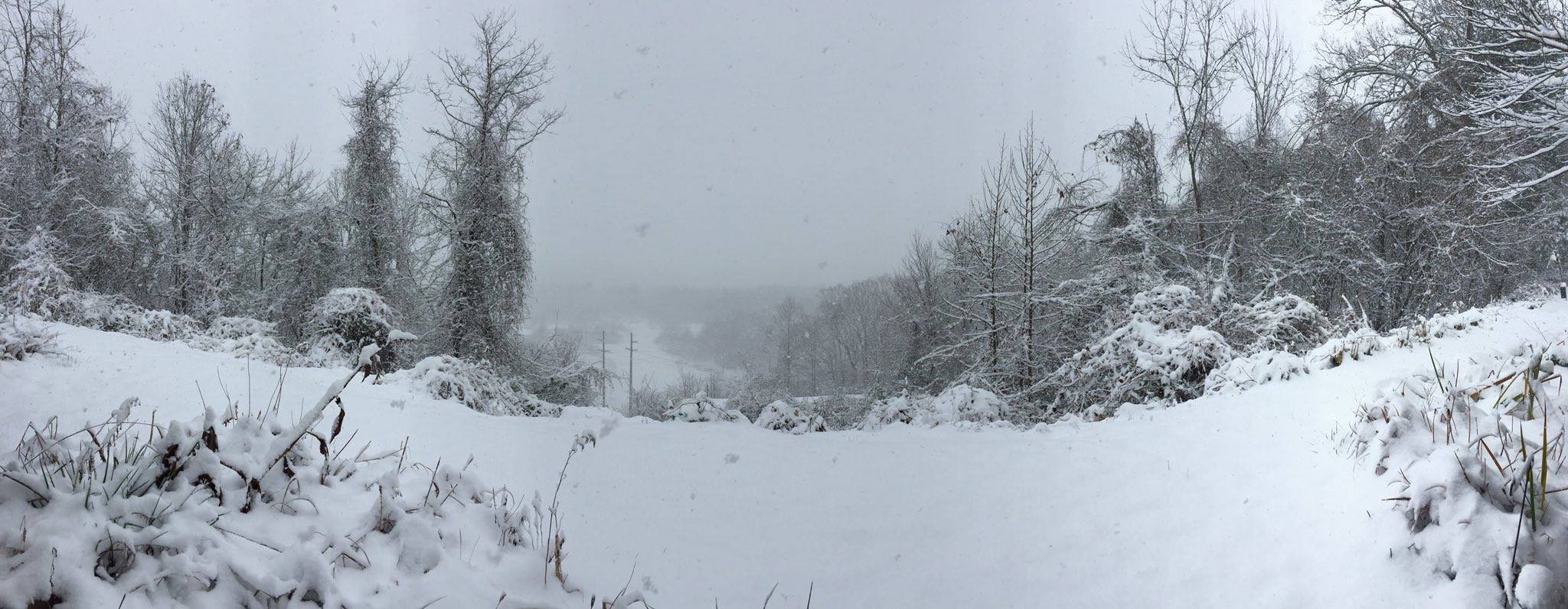
Morning y’all! About 2.5 on the ground here, very light snow. Hoping to squeak out another two day fingers crossed.
-
Still snowing at a decent rate. About 1/2 inch on the ground. Sitting at 31.
-
Ripping here now. Finally!
-
Radar is kind of filling in a bit headed into Henderson.
-
FINALLY got some fatties here.
-
Gorgeous out here right now. Waiting for the first flakes!
-
Those returns north of Atlanta look HEALTHY
-
The radar looks amazing. A lot more moisture than modeled.
-
Amen! Just got back home with a propane refill for my porch heater. Beer opened. Watching the sky. Good luck fellas!
-
HRRR is now throwing some of the ridges and valleys 4.-6 even before sunrise tomorrow.
-
Time to head home. Pick up some beer and groceries on the way. It's go time!
-
Enjoy!
-
Surprised GSP is being so bullish. I'll take it though. Adds to the excitement. HRRR I'd like to toss. Looks like the NAM is coming in to save the hour. 38/27 at the house.
-
Oof.
.thumb.png.c6ca37768d27a114ee895575ee91f742.png)
-
Huh.
-
GSP went with the last minute bull move. Let the fun begin.
-
Sun broke out here too. Sitting at 36. Newest HRRR looks kind of dry. Onto the next! Ha.
-
The difference in these for Tuesday's "event" is laughable.
.thumb.png.5ee00337876fcaabef18a125086e9169.png)
-
He keeps swinging by my office asking for updates haha!
-
A lot of places still sitting in the low 30s. 31 at the house. Posting a lot today. Let me know when to shut up
-
12z GFS is on its own at this point.
-
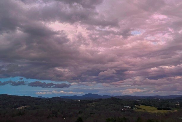
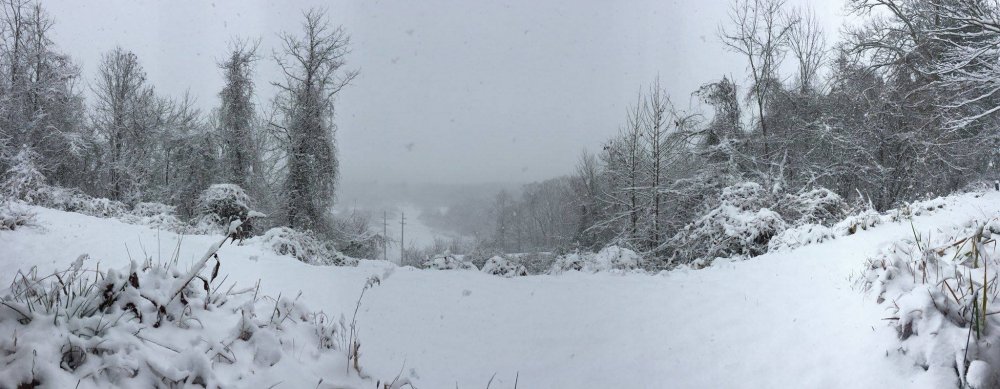
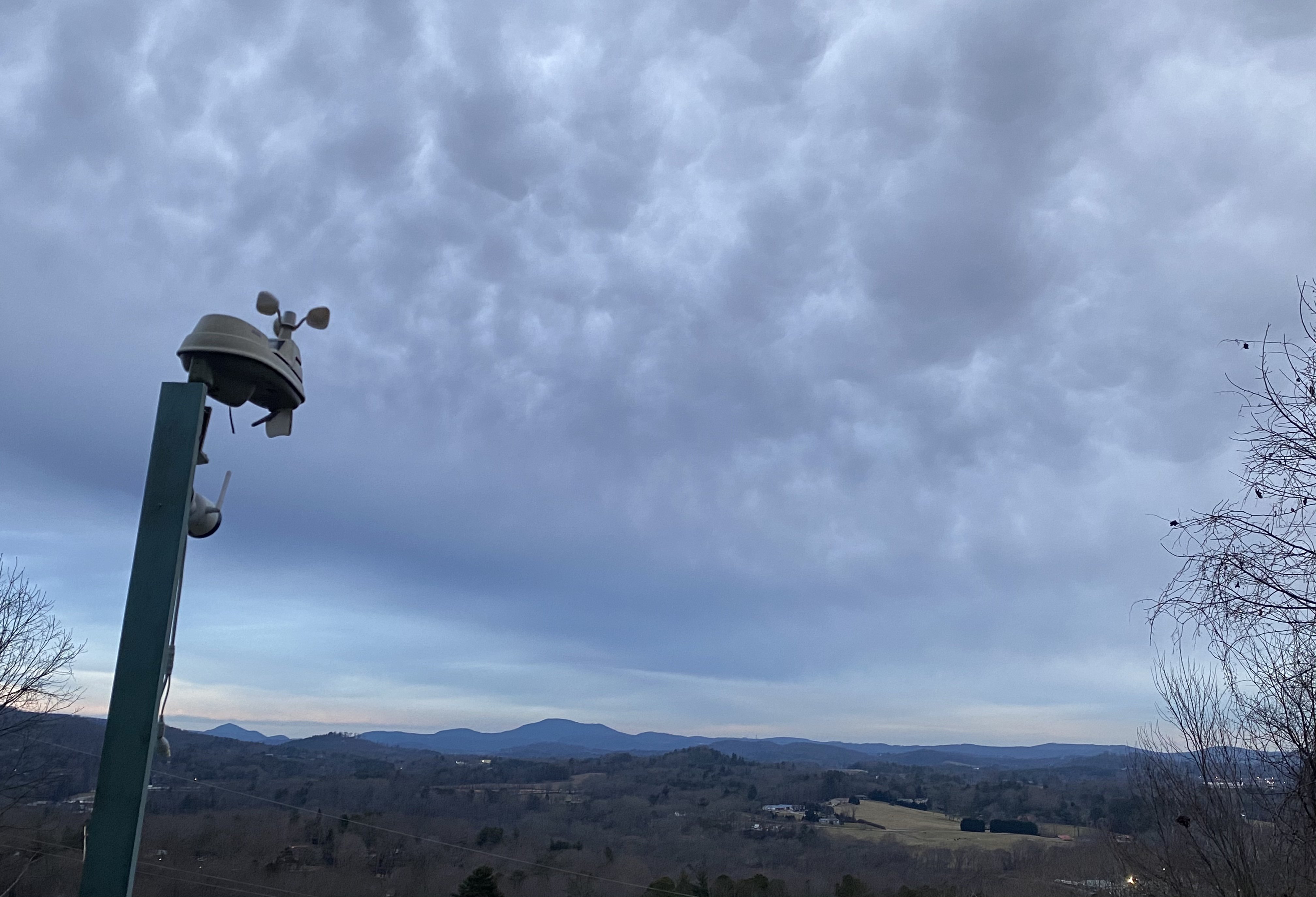
Slightly off topic, but just a little more perspective of where my house sits outside of Hendersonville... facing east towards Chimney Rock/Lake Lure.

-
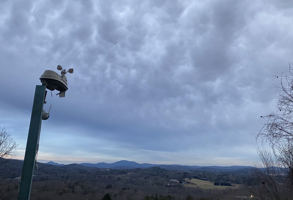
Sitting at 26. Clouds rolled in.
-
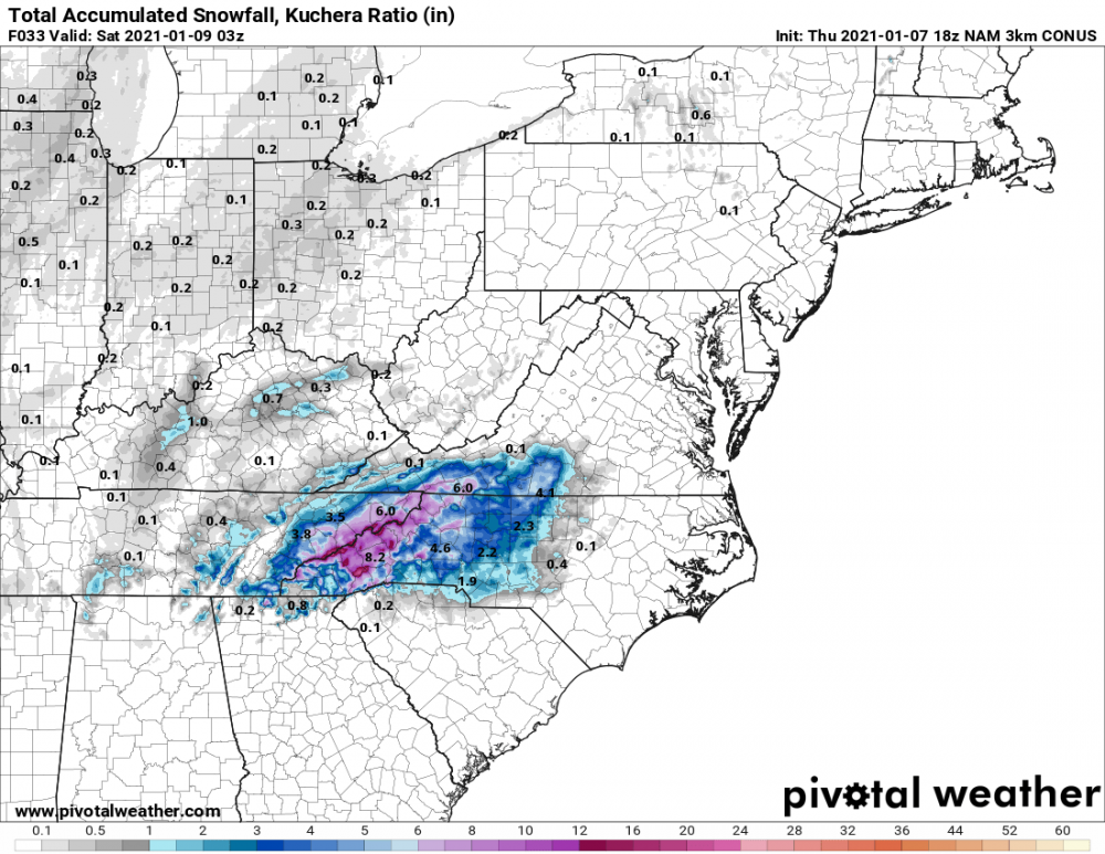
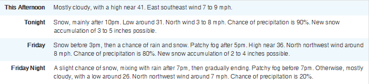
GSP upgraded to a warning. * WHAT...Heavy wet snow expected. Total snow accumulations of 3 to 5 inches, with locally higher amounts on eastern and southern facing mountain slopes.


.png.2fd2af7e07329a246e03b2b532239305.png)

.png.f43c9e4192a63c5129acb695ea5a1a43.png)