

sferic
-
Posts
2,496 -
Joined
-
Last visited
Content Type
Profiles
Blogs
Forums
American Weather
Media Demo
Store
Gallery
Posts posted by sferic
-
-
52 minutes ago, crossbowftw3 said:
When does everyone else jump on is the question. If they do, anwyay, which I'd assume begins when the wave gets sampled.
Hopefully us in Sullivan County whether NW.SE.SW or NE parts of the county cash is
-
4 minutes ago, Edubbs83 said:
I’ll take member 27.
I'll take member 13 or 25
-
12 minutes ago, wdrag said:
I used to listen to Don Kent-BZ, WCAU had a good met team in Phlegms, There was Denardo-McFarland in PIT, and WTIC Barbara Allen Buzz Bernard etc... they all helped get me psyched on events. WNYC used to have a 145PM radar report, right off the Weather Bureau Radar at Rockefeller Center. Anyway, better not digress any more. Gotta rest.
Also WNYC had their 6:45PM radio broadcast from NWS
NYC names of mets from 60's NYC Walter Vanis, Charlie Sykes.
On Feb 2nd 1969 when I was 10 my dad took me to 30 Rock, we walked up 1 flight of stairs right into the NWS office and a wonderful met gave my dad and me a tour which I cherish to this day
A week later the Lindsey blizzard
My screename here " Sferic" by the way was a device used to triangulate lightning strikes back in the day; not sure if they are still used
-
 1
1
-
-
22 minutes ago, wdrag said:
That's correct... Let's presume it will be back by Saturday... if it's not, then I'll be concerned. All these op runs are single members... even the EC op could lose it tomorrow but it might show the single member OP that represents only 10% of the ensemble.
So--- my fingers are crossed. I like the setup... for a moderate event of 1/2-1" qpf... modeling can change my thinking but for now a conservative progressive approach. Any snow we can get now is nice to have.
Most everyone on here is probably under age 60... I presume. Modelers-researchers-computerization and platforms for data have provided us with modeling that can be pretty accurate to D5 and alert us to a potential event D6-10 with some reliability. Back in 1960-65 I was reading the Farmers Almanac, and local long rangers (Gordon Barnes) for my hope... not a Weather "Bureau" D5-7 forecast (as the NWS referenced back then).
Let's see what happens and keep the options open that there could be some sort of failure here.
Ah, Gordon Barnes, legendary in NYC 1960's to early 1970's
I remember "Barnstorming" which ran on CBS Network radio
-
 1
1
-
-
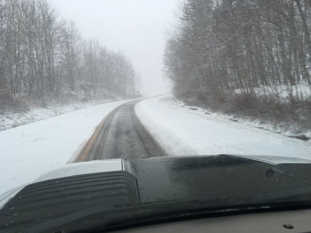
In Liberty NY About 3/8th of an inch of snow and snowing moderately now 29.3 degrees

-
2
-
-
Can I reserve a spot atop Mt Washington to ride the winter out at LOL ?
Poll:
Would you if you could?
-
16 minutes ago, Mothman said:
Hi I’m from the Catskills. Happy to be here! Models really backed off ...
Love the Roscoe Diner; I am in Liberty
-
Redfield, NY..I'm fascinated
What is the least snowiest winter there in the last 25 years?
Nice houses there to buy?
-
26 minutes ago, crossbowftw3 said:
Running out of time for those. This model cycle, if not 18/0z, probably will converge on the common solution. New England going to certainly get whacked.
Latest GFS. N CT and northeast will get slammed.
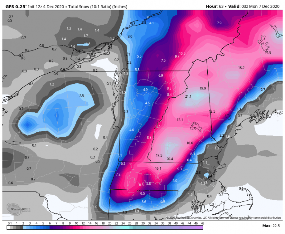
I just remember the March 2017 Blizzard for Sullivan that defied guidance and ticked so far west that we got here 30"+
-
15 minutes ago, crossbowftw3 said:
But still not enough for us. Us inland folks would be going even crazier lol
But here in Sullivan County we're watching the trend, another jump west we all go bonkers !
-
 1
1
-
-
So for tomorrow's storm no use looking at today's model runs for NW NJ and the Catskills; this is a New England special, no western nudging possible, right ?
-
First time ever I am living exclusively in Liberty NY until April.
I can still monitor my PWS in Lynbrook NY though as hopefully not too many rain/snow lines make it this far north
Hoping by week 2 of December things get moving here
-
2
-
-
Can Sullivan County in the Catskills possibly get a dusting tonight?
-
Currently
Liberty NY 19.9
Lynbrook Long Island 28.4
-
5 minutes ago, Flying MXZ said:
Currently in Delaware County.
Hope it makes it s way a county south to Sullivan County
-
2 hours ago, SouthBuffaloSteve said:
Snovember... ahh memories...

WOW!
-
44 minutes ago, crossbowftw3 said:
If the front were timed just a bit better I think a more widespread wind event would have been at hand. Here downstate frontal arrival will still be timed far after sunset and without better mixing. Guessing better gust potential here should be with the line itself. Still like the idea of gusts 25-35 here downstate.
I am hoping for a coating of snow Tuesday which is clearly in the realm
-
1
-
-
1 hour ago, BuffaloWeather said:
Didnt have enough daylight to install backyard cam. Going to setup soon though!
Blue Iris Software, best for time lapse and remote viewing too
-
1
-
-
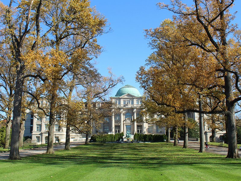
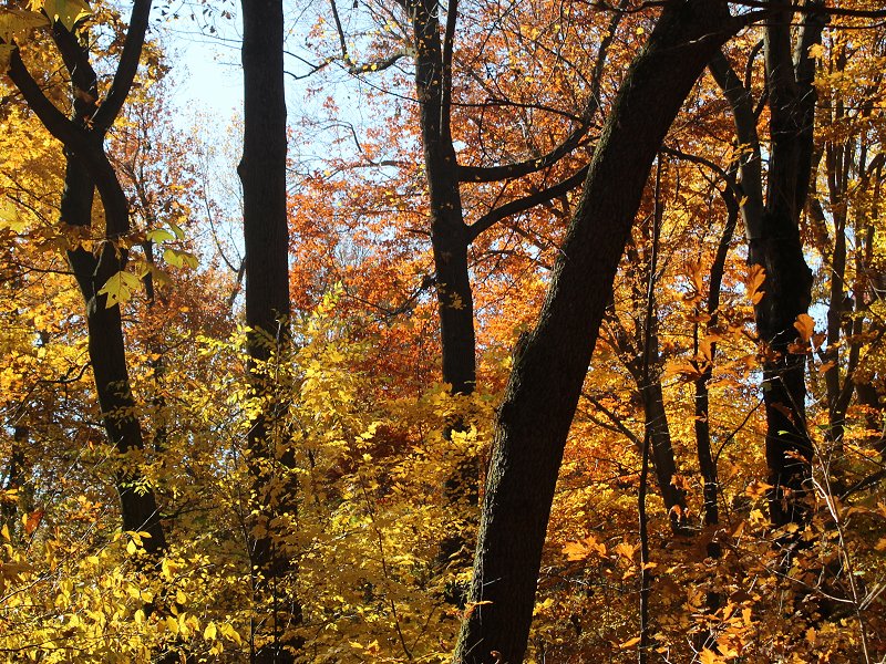
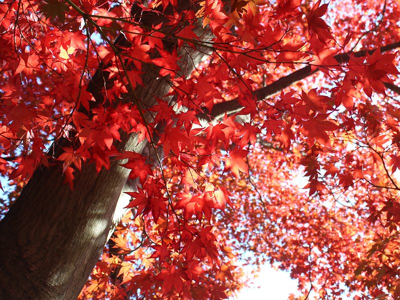
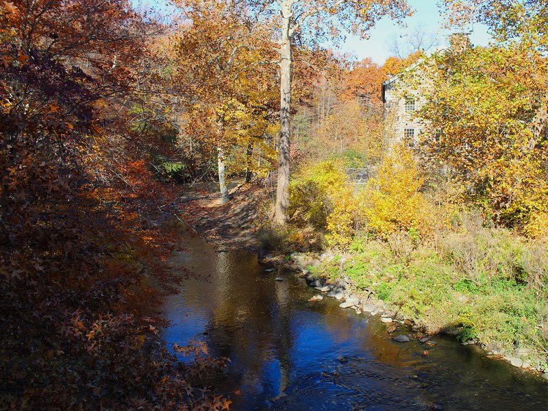
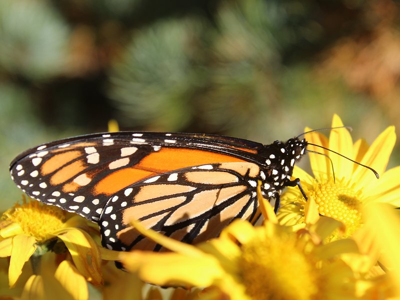
23 minutes ago, donsutherland1 said:
Under bright sunshine, the region saw near record and record warm temperatures. At Central Park, the temperature rose to 75°. At Islip, the temperature reached a record 76° and Newark saw a record 77° high temperature.
Overall, the weather was perfect for enjoying the fall colors. Five photos from the New York Botanical Garden:
One short video clip along the Bronx River at the New York Botanical Garden:
Stunning photos as usual !
-
1
-
2
-
-
Any hope for wintry weather in the Catskills before November ends or has that ship sailed? GFS has nada
-
Maybe Sullivan County in the Catskills gets an inch from these streamers?
-
Lynbrook Low 28.0
Liberty NY Low 21.3
-
Sunday Night/ Monday Morning Catskill potential?
-
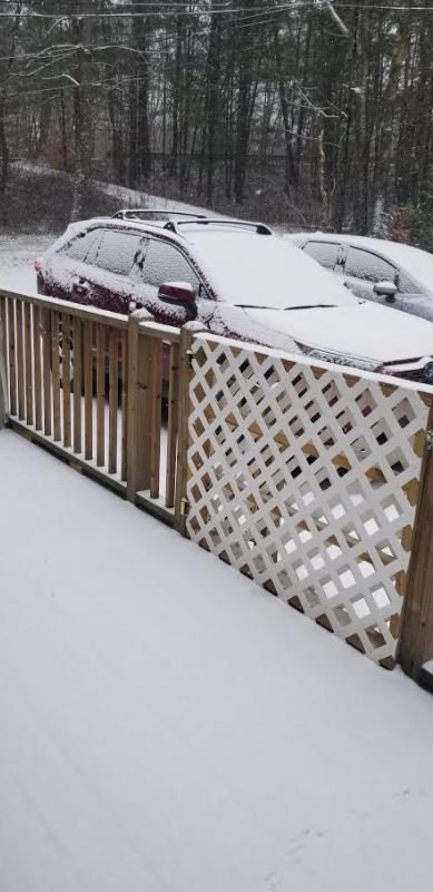
I am happy as it snows moderately
-
3
-


Major Nor'easter snow storm (possible top 20) Noon Wednesday-Noon Thursday Dec 16-17, 2020
in New York City Metro
Posted
EURO verbatim is 18-24 from Sullivan to Orange counties