

Scraff
-
Posts
4,412 -
Joined
-
Last visited
Content Type
Profiles
Blogs
Forums
American Weather
Media Demo
Store
Gallery
Posts posted by Scraff
-
-
I need some some F words thrown around this happy hour GooFuS run.

-
I see it’s finally time to un-shit the blinds!? Wow!!
ETA: Maybe this is the appetizer for PDIII.
")
-
 1
1
-
 1
1
-
-
Cosgrove on board…
 I almost titled this discussion, "This is your last and best chance for serious cold and snow if you live in the southern and eastern tier of the USA".But for reasons of brevity, I decided against that starting banner. Instead, I look at the 11-15, 16-20, and 21-25 day periods as a chance to see "true winter" before the warmer and wetter March pattern arrives. The analog forecasts did very well in January with the cold plunge and cases of excessive (frozen and liquid) precipitation, so the similarity of the numerical models to the 500MB and temperature alignment should not be ignored. You have a rare -EPO/-AO/-NAO configuration forecast by all of the ensemble platforms, which have been consistent for about a week now. Remember my mantra: the worst and most extreme systems show up, with clarity, for many days before.Besides the massive conjoined blocking ridge, there is the matter of the impressive southern branch jet stream. A cAk vortex will form over James Bay and nudge into Quebec by February16. The powerful wind field will have two prominent pieces of cyclonic energy that start in western Mexico, move into Georgia and Florida, then churn northward along the Atlantic shoreline and interact with the developing cold dome. As to which system, if any, hits paydirt and intensifies while moving parallel to the East Coast, I cannot say. But there is a chance for an impressive storm with cold drainage to match vorticity and deep moisture input. In a sense, the south central, Mid-Atlantic and New England states have the chance for "something really special" in terms of precipitation amount and type. The 500MB core on all of the schemes is just below Long Island NY on or near President's Day. The second shortwave is approaching South Texas at that time. I am following the colder GGEM panels in terms of surface temperature.Now again I will warn those of you that are winter weather enthusiasts that with a decaying El Nino, a la 1973, March will be much warmer outside of the West. The western states will be dumped on by heavy wet snow in this process (think Sierra Madre and San Juan Ranges), but by spring a Mogollon Rim closed cyclone is a good possibility. The remainder of February from the High Plains into the Upper Midwest may be cold, but most likely dry.
-
3
-
-
9 minutes ago, Maestrobjwa said:
There is a Panic Room thread, folks...
Don’t be throwing around that F word so loosely. This is a family site.
-
7
-
-
14 minutes ago, EastCoast NPZ said:
Congrats, Jacksonville.
And Short Pump.
-
1
-
1
-
-
51 minutes ago, Ji said:
We have had several chances for mecs/hecs in the past several yearsIn your world, even July is a good time for a MECS/HECS.
-
1
-
-
And for those that went to WVU, I highly recommend picking up a copy of this book…
-
7
-
-
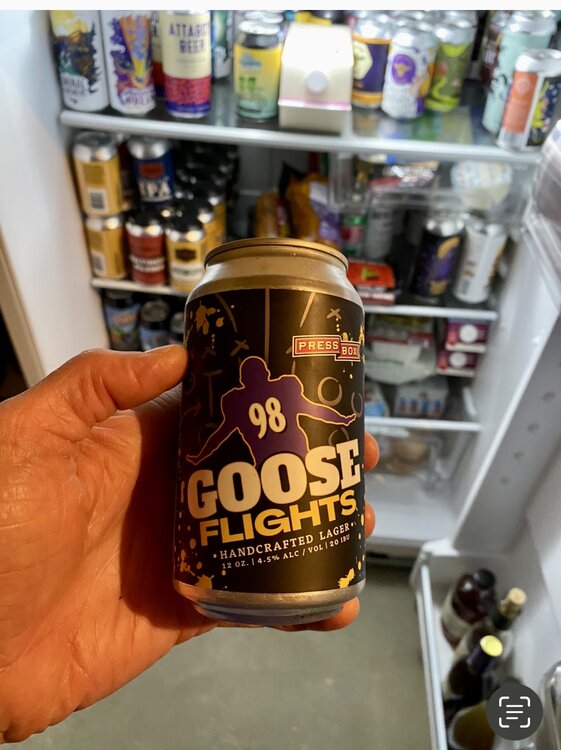
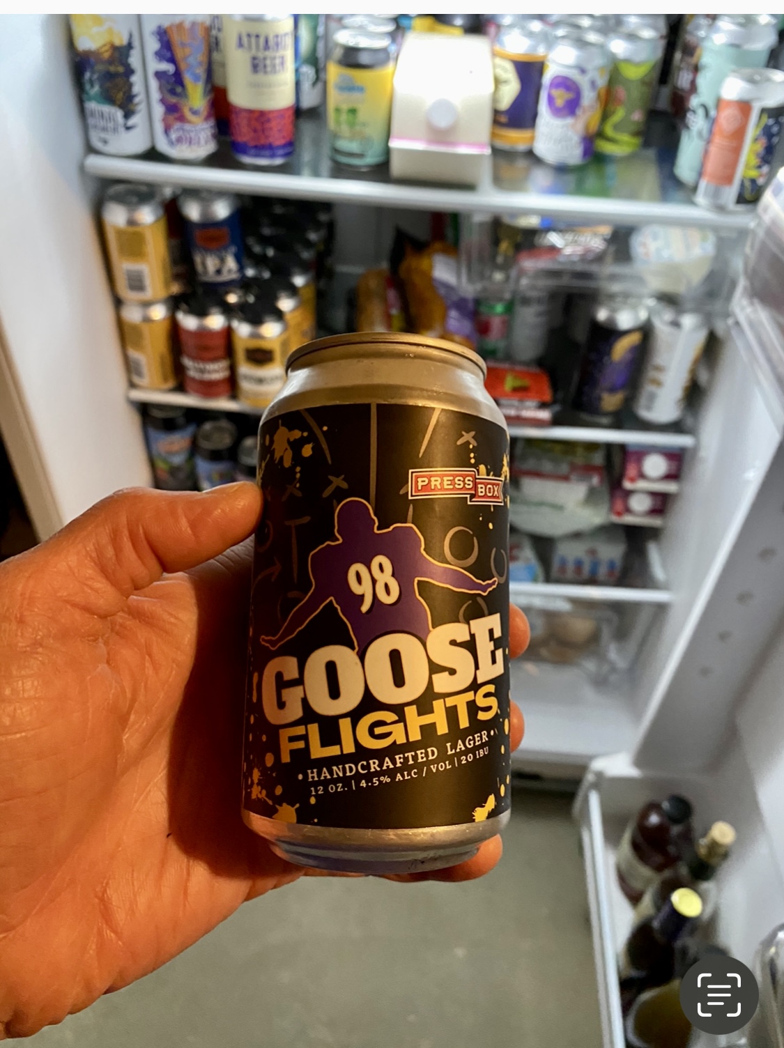
The SBFI is trending highly positive and potentially into historic territory right around 2/15 as well. The split beer can flow between 3 fridges will mean only 1 thing…

ETA: Scraff Beer Fridge Index for those that don’t know. Lol
-
3
-
-
Who de fuck truly wanted to see Detroit and KC anyway? SF/KC should be pretty epic. Though SF/Ravens would have been our BECS, but now I’ll pay attention to it like our upcoming Wednesday flurries.
-
This shit already sideways. I’m not feeling it. Going to take a miracle from Lamar to get it right.

-
Let’s Go RAVENS!!!!
-
2
-
-
Hard to believe 5” 1 week ago. And now 70 fun loving degrees! Looks like it’s going to be a great afternoon to sit out on Carrol Creek and drink a few beers from Idiom.
-
2
-
-
First check in here since noon. Soooo Canadian football, bus crash, shit on JI, and dirty lollipops is all I’ve been able to comprehend. How much snow does that equal!?
-
1
-
3
-
-
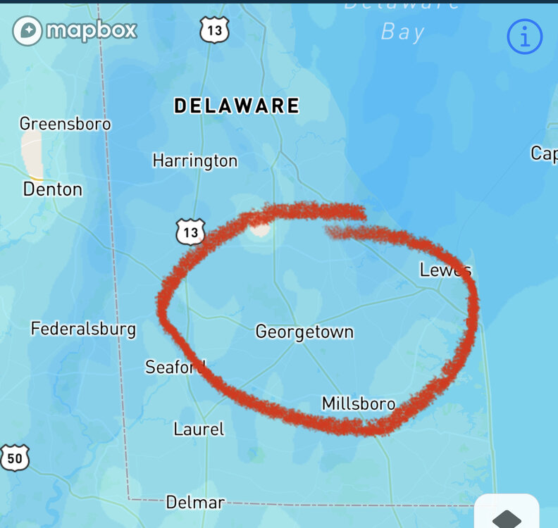
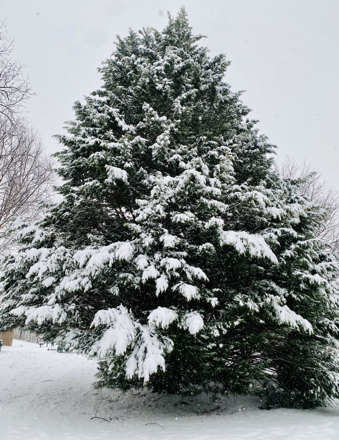
10 minutes ago, KAOS said:
Why is there a pine tree growing out of DC?
Notice the root of the tree starts in Georgetown.

-
1
-
4
-
-
4 minutes ago, stormtracker said:
Don't yall get on the bandwagon when the Euro crushes us in 2 hours.
I’ll bring all the beer if you have room for 1 on the wagon.
-
1
-
-
32 minutes ago, NorthArlington101 said:
it just wants to snow!
It’s got vibes of both storms last week. Maybe we can reel this one in as well as we get closer? Would be nice to get one more on the board before the second half. Best part—we get the ball to start the 3rd quarter.
-
2
-
-
The only thing missing next Sunday for the AFC Championship…a snowstorm. Came we manifest one somehow this week? Asking for a friend.
-
1
-
-
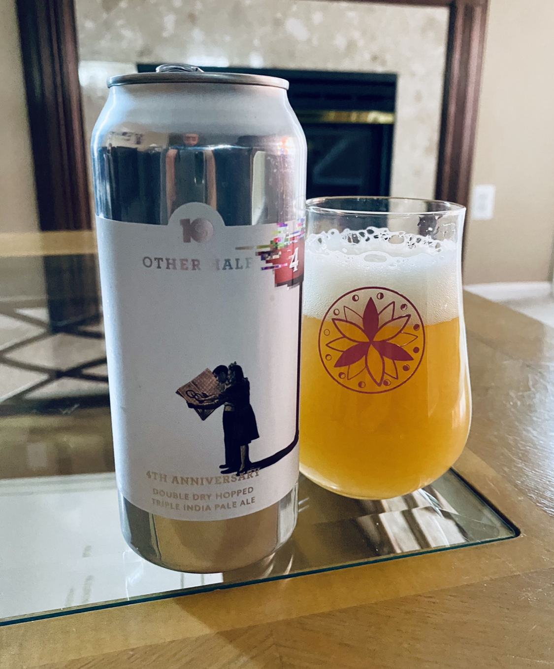
Let’s Go Ravens!! What’s in everyone’s glass today? Sound off.

-
2
-
-
Man wish I was in the streamer, but I’ll take my 5”+ and run with it. Great event. Great week! Next one is when?

-
1
-
-
OMG. I can’t even…
-
1
-
7
-
-
7 minutes ago, mdhokie said:
Where you at?? I'm down by 103/100 and it was pretty heavy 8-12pm. Probably have 5" total. Last hour or so its been very light, fine snow.
This! It was never big fluffy flakes, but it was damn nice. Still a steady light snow here now. I’m also 100/103 too. I’m off Wesley if you know where that is. Assuming you might.
")
-
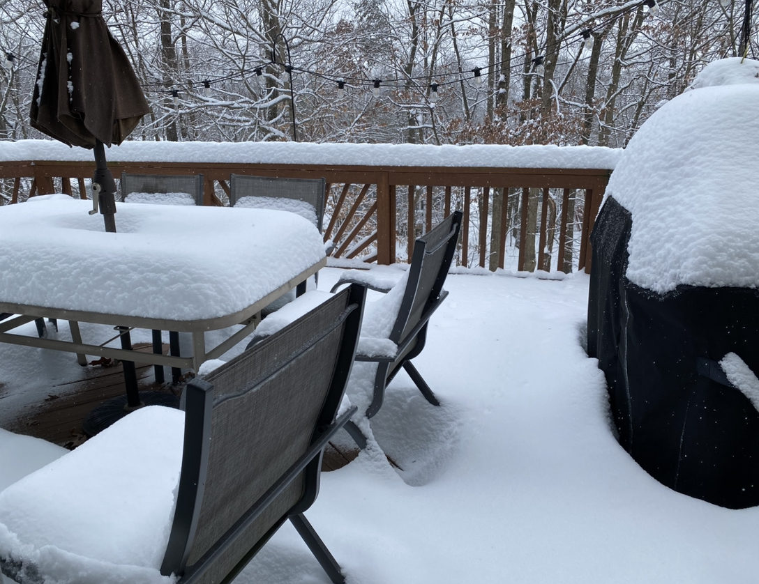
Shhhh. Don’t tell my deck we didn’t have a MECS. It thinks we did.

-
10
-
4
-
-
13 minutes ago, WxUSAF said:
3.9” after 6 hours with first snowboard wipe. 0.2” last hour, 3 hours straight at that rate. Snow is quite light right now, but radar suggests that changes soon.
Seems to be ramping up as I type and get ready for Jebwalk 2.
-
1
-
-
27. Light snow currently. First Jebwalk in the books. Time to fuel up before the upper level low drops the fresh pow.
-
1
-

Mid/Late February will be rocking. (This year we mean it!) February long range discussion.
in Mid Atlantic
Posted
That one deserves a FOLKS!