dman
-
Posts
103 -
Joined
-
Last visited
About dman

-
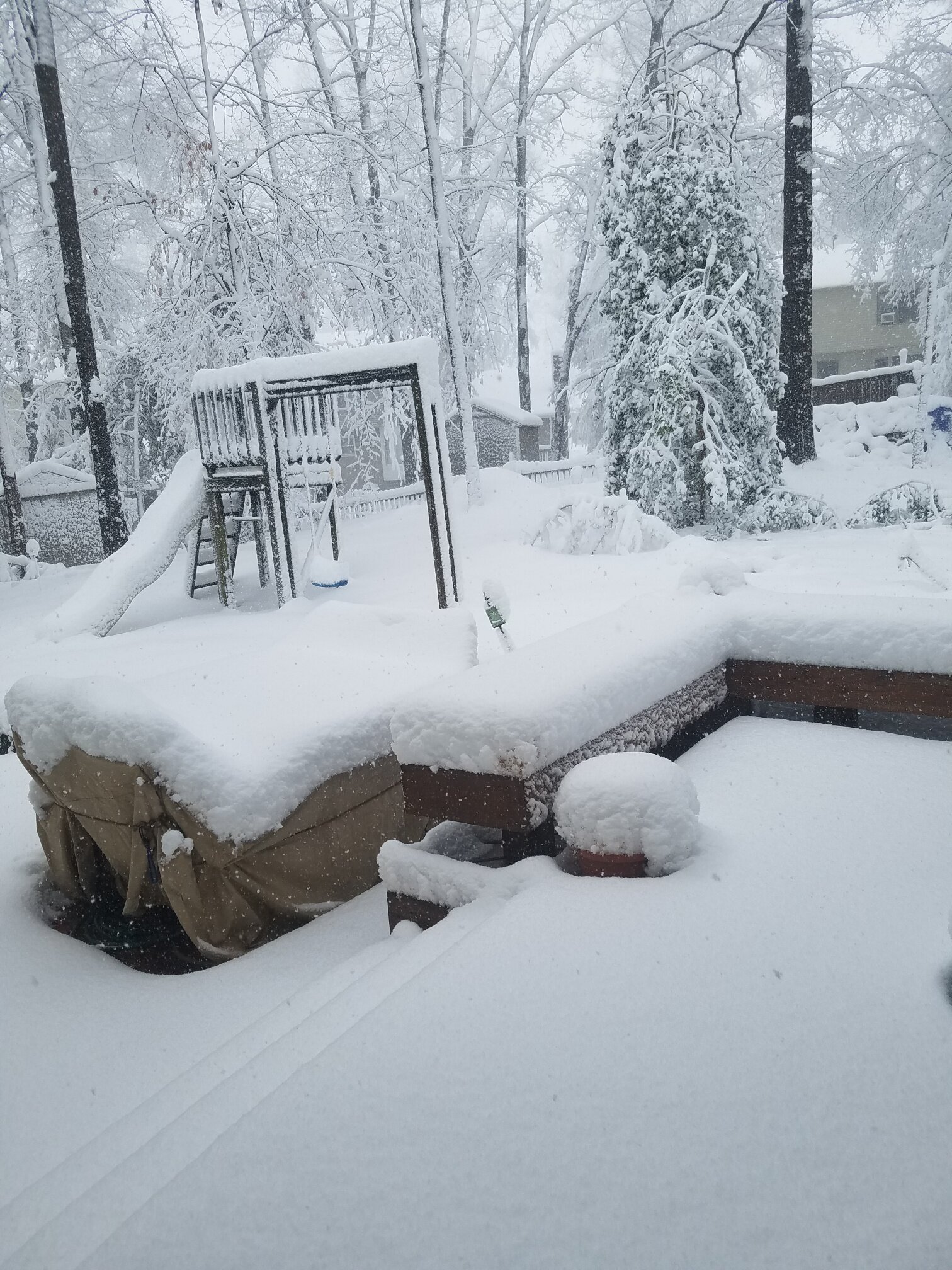
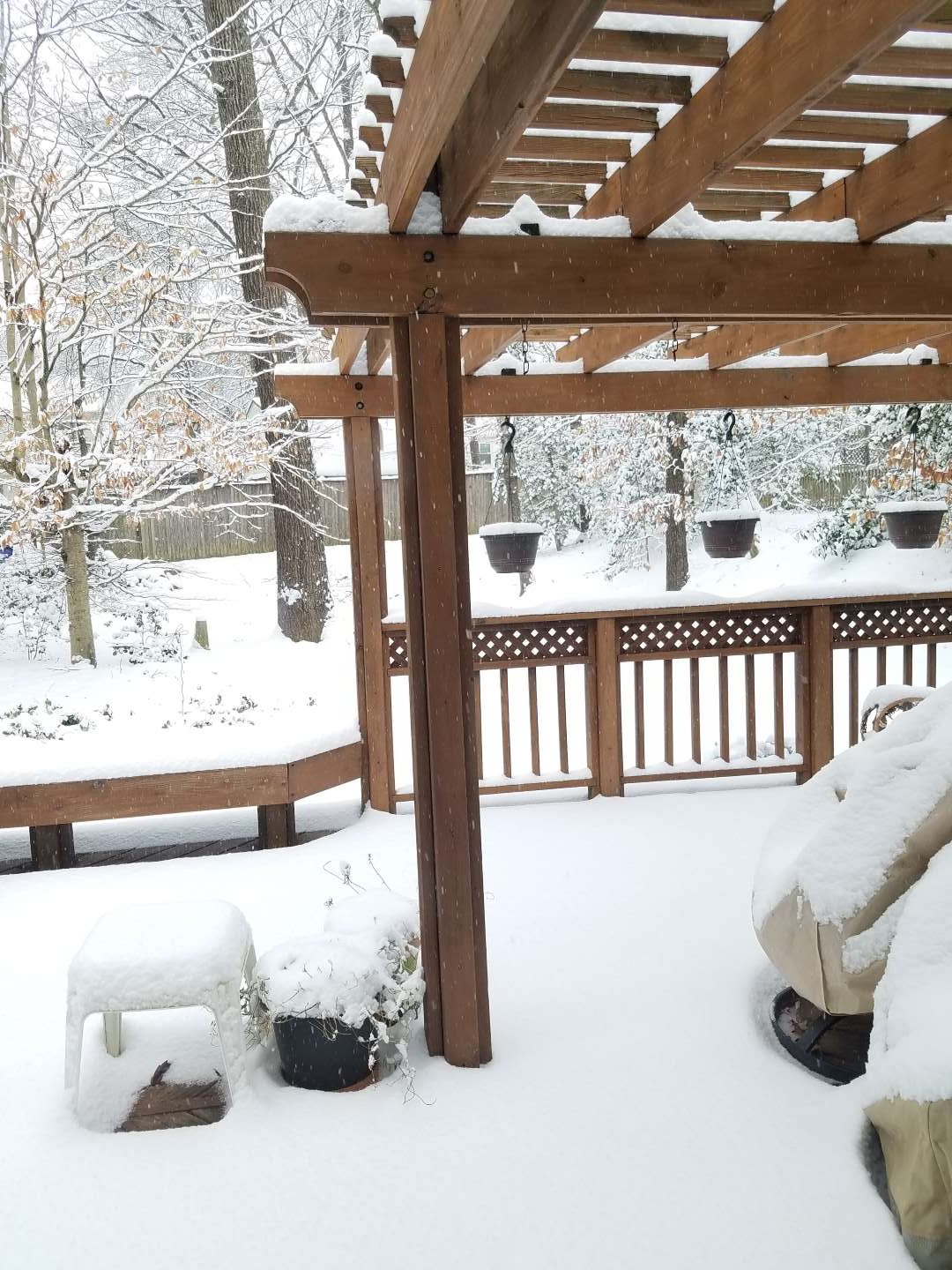
Lost power early (and still out) in the storm and couldn't report, so summarizing now. Temp was 32.5 for most of the snow event. Winds were highly variable in both speed and direction, est. gusts to 20-25 mph. We got about 1" of sleet prior to snow. Rates had to be 2-3"/hr from 9 to 11 am and 1"/hr after that, small to medium flakes. Wind made it hard to gauge depth, but we are in the 10-12" range based on averages in the yard. No snow plows in the neighborhoods. Lots of pine and holly trees down, anything with leaves really took a beating. Pic from my MBY during storm, the holly is snapped about midway.

-
34.4, mostly snow for last hour. Some of those flakes are enormous. Great snow event, just not cold enough.
-
33.3, pouring snow, car topper almost restored and roads partially caved. Straight down, no wind.
-
33.4 ,back to light snow, some big ones mixing in, white rain, but better than plain rain.
-
33.3 changed back to mostly rain, moderate rate.
-
33.3 and snowing since 0730. Car topper, roads had almost caved under a heavy burst but now back to mostly wet with moderate/light and steady snow.
-
Lived here 35 years and well acquainted with this climo--my disappointment comment was wrt the future cast for mostly rain vs. the 3-6 forecast and WSW. It seems like it's been a tough year for forecasting. We might sneak in a couple inches here, we'll see, all good if we do, if we don't it will be a typical outcome for here. Looks like some more and maybe better chances later in the month too. Good luck. Temp now 43.3.
-
42.6 down 3 degrees in 3 hours. Radar shows precip overhead but nothing reaching the ground yet. Weather channel's future cast shows rain here until about 7am followed by a short period of snow/mix. Disappointing but a pretty typical outcome here for borderline snow setups.
-
Jan 31st - 33rd Storm Obs and Disco like it's 1979
dman replied to Bob Chill's topic in Mid Atlantic
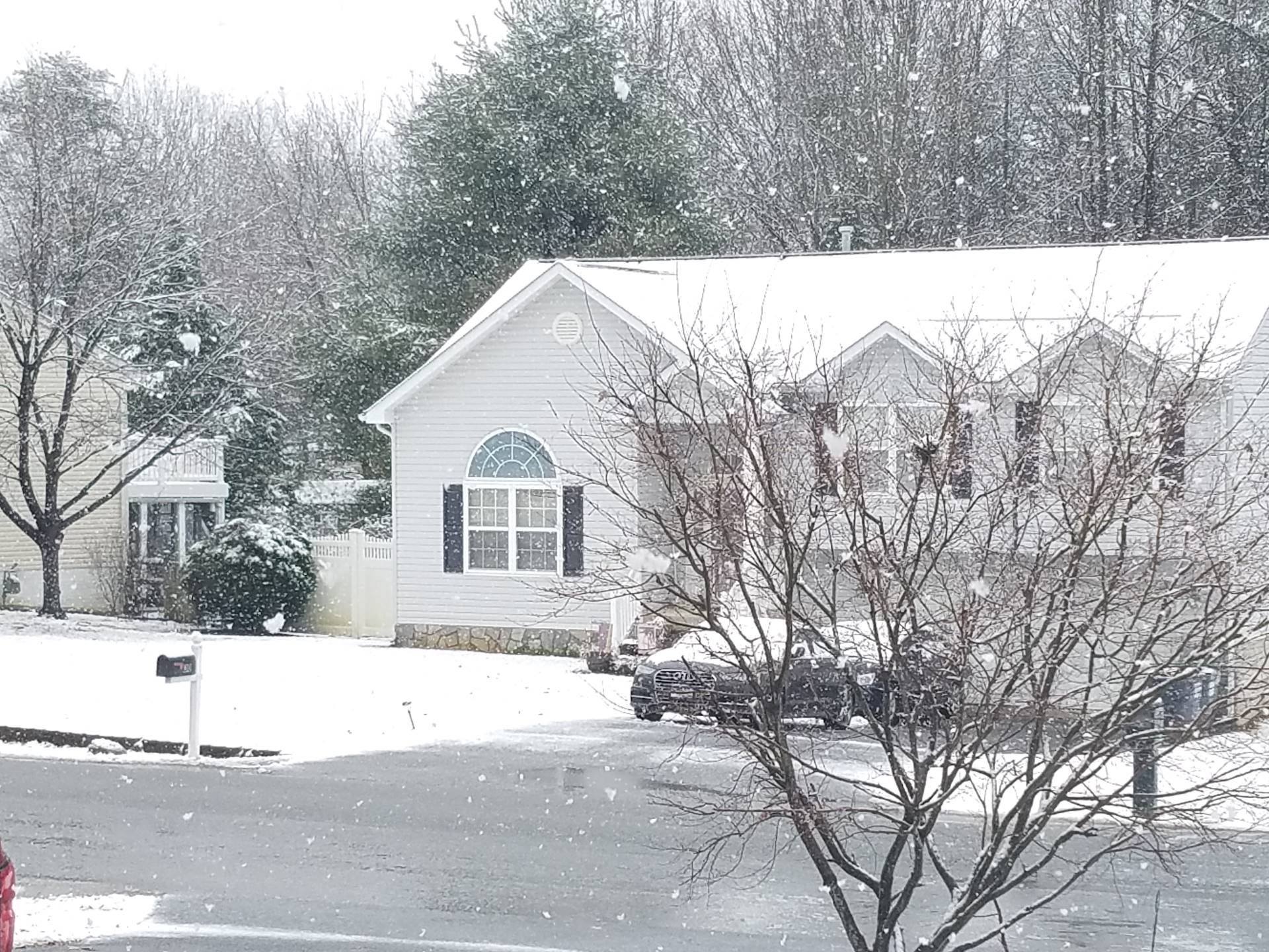
32.9 and light drizzle. Temp down .5 degree in last hour, still calm winds. Snow receding steadily, but still good ground cover. Went for a short drive, generally seems to be a bit more snow north, a bit less south of my location. Roads wet and clear. My street has been 'plowed' 6 times--the snow was off on the first 2 passes. Watched one plow literally plow off the sand/salt dropped by the previous guy. -
Jan 31st - 33rd Storm Obs and Disco like it's 1979
dman replied to Bob Chill's topic in Mid Atlantic
33.6 and changed over to light rain/sleet/snow mix after a lull. Accum. snow starting to come off cars. :( ETA: Meant to note that winds have been nearly dead calm throughout, occasional hint at SSE breeze. -
Jan 31st - 33rd Storm Obs and Disco like it's 1979
dman replied to Bob Chill's topic in Mid Atlantic
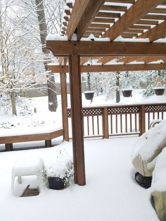
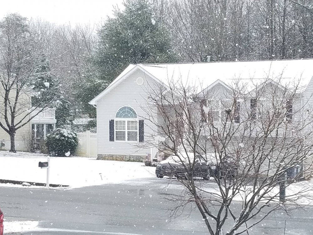
33.4 and light snow, ene of Fredericksburg. Didn't measure, but looks like its working on 4th inch on the deck benches. Glad the snow drought is finally broken across most of the area. Enjoy!