dendrite
-
Posts
73,090 -
Joined
Content Type
Profiles
Blogs
Forums
American Weather
Media Demo
Store
Gallery
Everything posted by dendrite
-
Wish that was here.
-
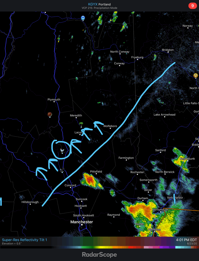
Getting closer

-
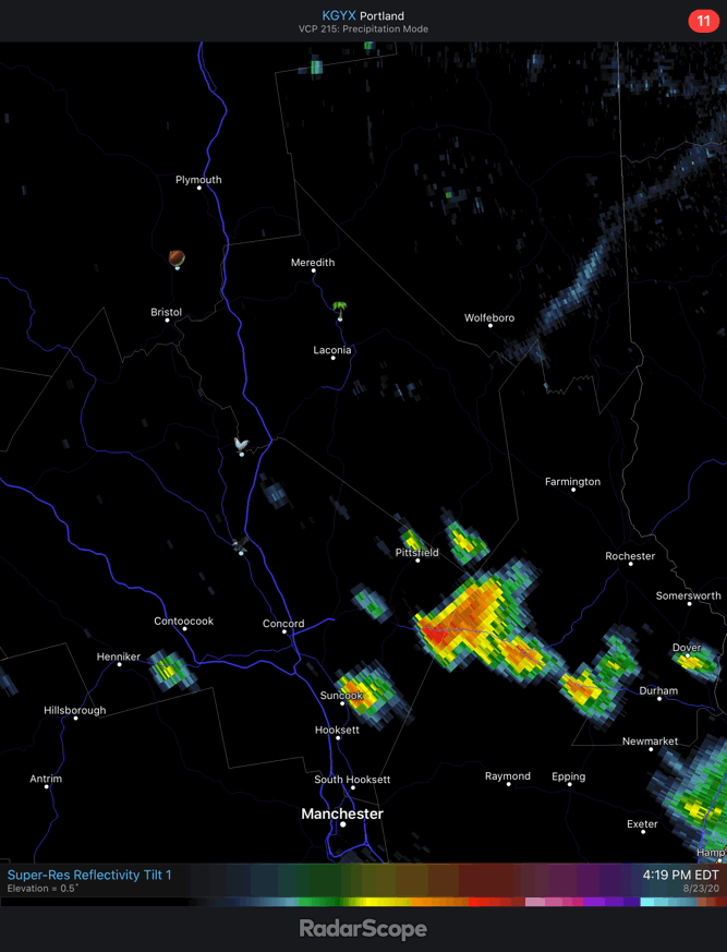
Get this NW please.

-
Hit 88. Looks like a seabreeze boundary moving NW is firing off more cells in Merrimack county...not sure if it can get some extra outflow assist to reachup here before we lose the heating.
-
Watching S NH get lit up while it blazes here. 87°
-
And then straight to summer after November.
-
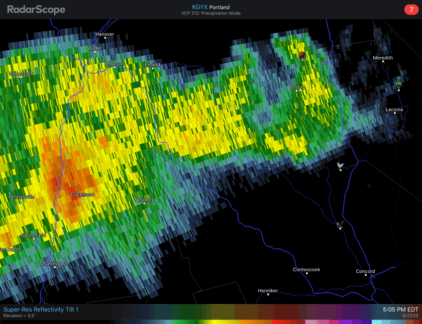
6z GFS delivering the sub 0C 850s to the moose in NNE Wednesday morning.
-
Heat fail up here on the euro. Sunday is hot and Tue is warm, but it comes crashing to a raw, wet halt after that. S of the Pike gets a couple more days of heat. Drought cancel up here if that verified too. Let’s stall that front right where it has it.
-
I would love a few 70/60 days in January.
-
This will be much appreciated.
-

Summer 2020 Banter and random observations
dendrite replied to Baroclinic Zone's topic in New England
Too early to tell. Top headline on cnn.com right now. -
Convert all of the 90F/91F highs this summer to 88F/89F?
-
Brings the heat back with a vengeance into SNE Thursday though. I'll gladly take being north of that hung up sfc boundary.
-
The BDL ASOS is also on roids.
-
Euro has the Tue night front too...just not as cold behind it.
-
So much dry heat for BDL this year. They really needed the low dews to pull the record off.
-
Don't worry...BDL has it locked up.
-
Biggest 12z euro run of our lives?
-
Return to fall Tue night on the gfs.
-
Summer 2020 Banter and random observations
dendrite replied to Baroclinic Zone's topic in New England
They did? I’m reading a lot about related outbreaks this morning. New mask mandate in NH now. https://www.google.com/amp/s/www.cbsnews.com/amp/news/new-hampshire-mask-mandate-before-motorcycle-rally/ -
Summer 2020 Banter and random observations
dendrite replied to Baroclinic Zone's topic in New England
Bike week Good luck avoiding the COVID Scoot. -
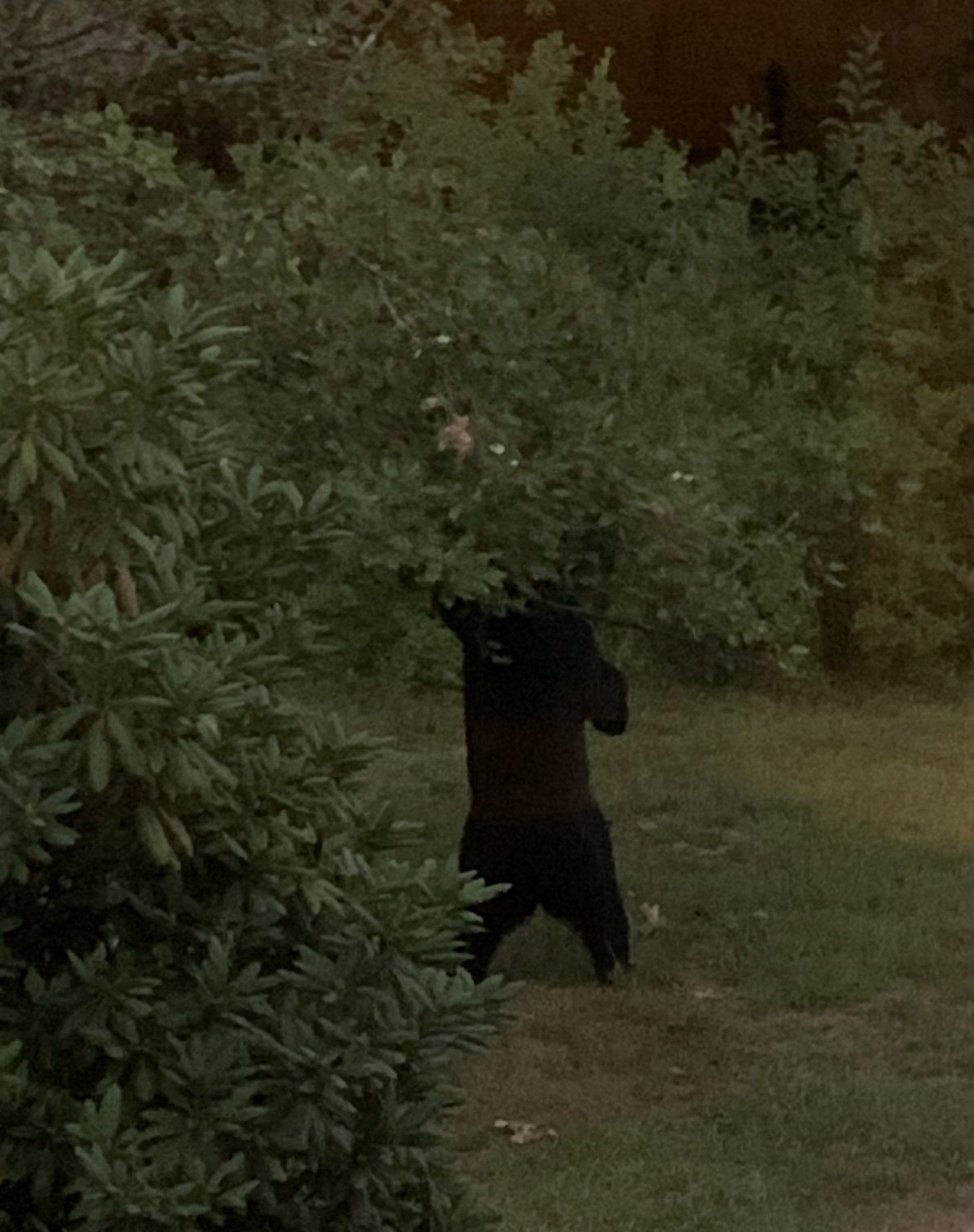
Sometimes even the elusive vicious grey squirrel makes an appearance.
-
lol stay safe
-
BerenStein?

-
Just had the Stowe bear in the yard wrecking up my crabapple tree. 52.0°