dendrite
-
Posts
73,528 -
Joined
Content Type
Profiles
Blogs
Forums
American Weather
Media Demo
Store
Gallery
Everything posted by dendrite
-
Even 97/75 up to LEB.
-
90.8/77
-
Special one
-
89/78
-
12z MAV is an all-timer at CON

-
And the dews
-
I love those maps. I post those here all the time.
-
Give me 90 at 9 for the urban centers and 10 after 10 for the interior rad spots. I feel like there’s still some low level recovery in the valleys at that time especially if lows are 65-70°.
-
EWB’s highest hourly was 99°. If you want to give them an extra 1-2° in between hours that’s 100-101° which passes the smell test more.
-
IIRC the 107° was the New Bedford COOP, but the airport was cooler. You don’t usually see discrepancies like that today which makes me question instrumentation/siting. PVD 104° and BOS 102° though so it wasn’t too far off.
-
Min 64.5° Gonna be a rough 48hrs for mah chooks.
-
MAV/MET update


-
EWR 87° at 11p.
-
Todays highs.
-
I’m getting 1995 nostalgia with the breezy solstice sunsets and 100° days. Edit…of course last year was similar at the solstice too.
-
77.7° What a night
-
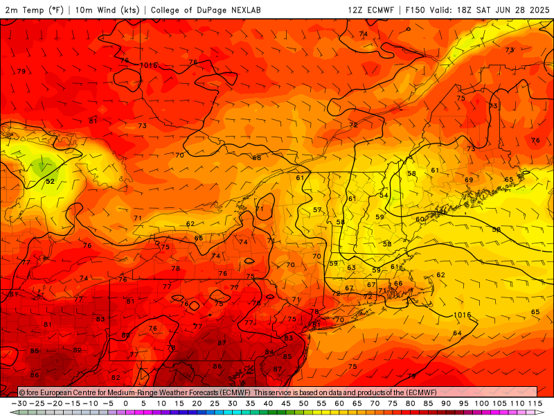
Euro back to delivering quality weekends
-
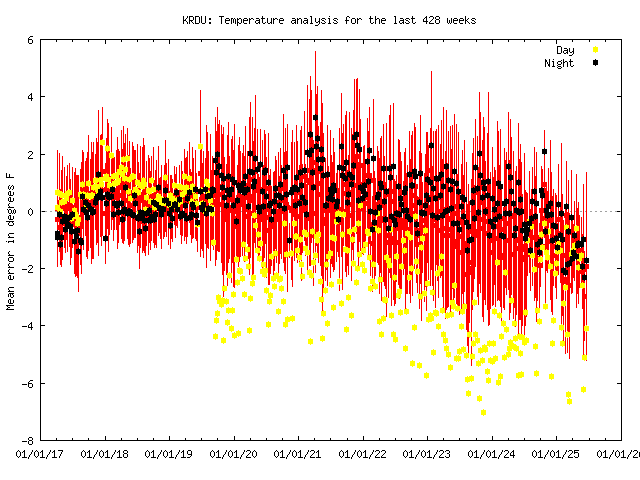
That's not to say there aren't problems there. I just wouldn't use the data he did to try to prove it. I mean wtf is this toward the end of 2019? (edit...looks like multiple stations in NC had an issue at that time so that jump is something different.)
-
Get yourself some 3ply https://www.quiltednorthern.com/toilet-paper/ultra-plush
-
Love Allan, but you have to be careful with those 5 min readings. I will almost guarantee you that's a 94-96-94 instead of a 93-97-93.
-
CON goes back to 1856, but the max/min thermometer official readings began in 1868. And I was wrong on that...1911 was 102F as well. They had a 103F in August of 1864 and 102F in July of 1866, but there may be some "yore" in there.
-
MAV is going big. Close to the all-time record of 102F (done once) in CON.
-
1pm