

ValpoVike
-
Posts
563 -
Joined
-
Last visited
Content Type
Profiles
Blogs
Forums
American Weather
Media Demo
Store
Gallery
Posts posted by ValpoVike
-
-
24 minutes ago, Chinook said:
snowing at Alpine Visitor Center this afternoon with rain at Estes/Fort Collins
Yes and good amounts of rain. I have picked up .64” from a couple of rounds. Radar shows more coming from central CO.
-
22 hours ago, mayjawintastawm said:
I love to see an argument on this page- don't think I've seen one in a long time, maybe ever! The New England forum has them like hourly.

LOL I was thinking exactly the same thing this morning! Arguing about climate on a weather forum reminds me of a quote from Dr Strangelove. “Gentlemen, there will be no fighting in the war room!”
-
 1
1
-
-
Not to brag, well maybe just a little, but it has been a good summer for moisture up here. I closed out July with 2.3”. It has been a bit dry in mid August but have picked up .4” recently and I am rather optimistic for more over the next few days.
-
 1
1
-
-
On 8/3/2025 at 8:02 PM, Mercurial said:
Crazy how this forest fire season hasn't been worse. We've been so dry here in the Hebgen Basin/Yellowstone area.
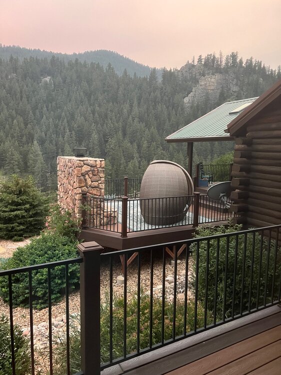
I had a feeling this post would put a voodoo curse on us. The view from here this afternoon.
-
16 hours ago, mayjawintastawm said:
OK, so here's what I'm talking about: current radar, blue dot is my house.
")
Oh, just wow. That is so frustrating. I did quite well yesterday and picked up .90", which brings the July total up to exactly 2.00". It looks like more today and tomorrow is quite likely up here.
-
10 hours ago, mayjawintastawm said:
Yeah between yesterday and today we wound up with 0.05". I feel like I'm at a Rockies game. Snatching defeat from the jaws of victory EVERY SINGLE @%#$^&* TIME.
Sorry to hear that, you have seemed to have a force field over you for as long as I can remember. Up here, we have done pretty well over the past couple of days and have picked up .53". Not huge, but I will always be happy on any summer day when I pick up over .1"
-
1
-
-
There were some slow moving storms and a bit of training in central Larimer and my area was put under a FF Warning due to the risk of burn scar flooding. A couple of miles north of me between 1.5"-2" dropped, however at my house I only clocked .04". I'm ok with that as May was very good for me, and thankfully there was no significant flooding from all of that rain falling over the Miller Fork in the burn scar. A couple of years ago, receiving as little as a quarter inch resulted in washed out roads.
-
This isn’t likely to happen. There is a huge blob of SAL east of the lesser Antilles that will likely be migrating into the gulf ahead of this time period.
-
2
-
 1
1
-
-
May has been good up here. Month to date is 3.41”, and more coming.
-
1
-
-
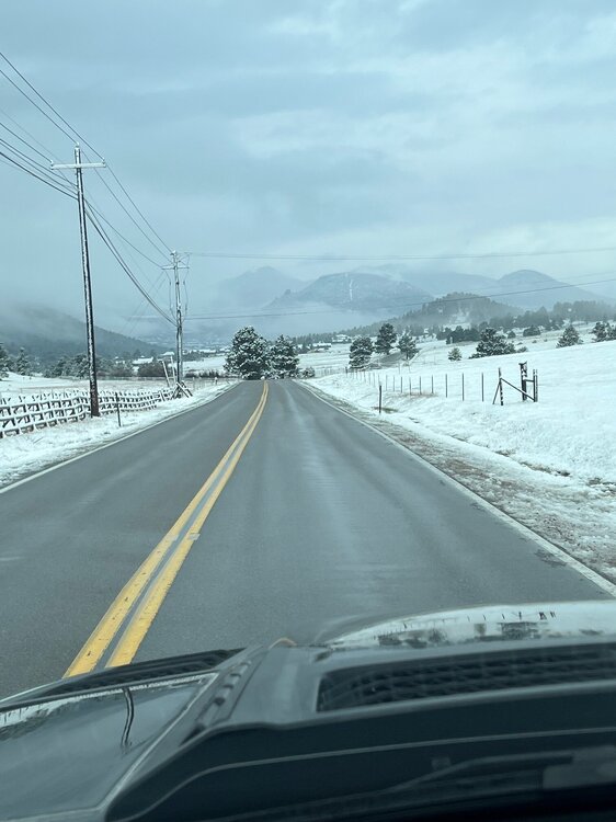
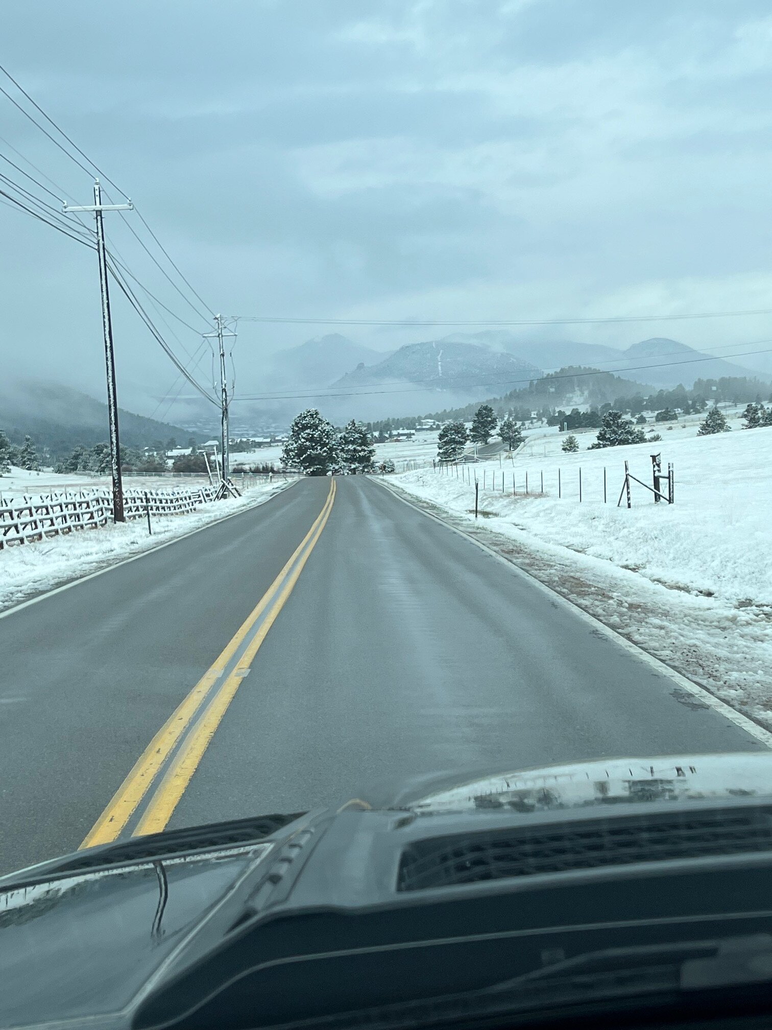
I finished at 1.72” of liquid. Had periods of snow then rain and back again most of Tuesday and overnight. Here is a picture from my drive this morning heading into Estes.
-
1
-
-
I am now at 1.31" and is great moisture to start off May. As I thought, I have been right on the snow line with my neighbor above me with several inches. I got a slushy inch, and the neighbor 200 feet below me has only received rain. This happens nearly every spring and never ceases to amaze me.
Regarding the wildfire season which was mentioned earlier today, I have found it to be much more coupled to the monsoon. There are years with good spring precipitation followed by a lackluster monsoon that result in a high danger mid-summer, and a good spring will get the fuels growing and then dry out if the monsoon fails. But a dry spring can be somewhat mitigated by a good monsoon. In 2020, both the spring and monsoon seasons were dry and we ended up with the Cameron Peak and East Troublesome fires.
-
I have racked up 0.80" so far since the rain began on Monday, so not a major bust up here. Holding fairly warm at 40 degrees, so snow chances at my elevation are looking pretty low.
-
It might get real interesting around here and it could turn out to be a storm where I get very little slushy accumulation on Tuesday here at ~7300', while my neighbor who is 200' above me gets heavy cement worthy of plowing.
-
12 hours ago, Chinook said:
I have to fly to Germany on a business trip later this summer. Definitely planning to target this flight. Beats the heck out of the old 747’s that Lufthansa had been using for the route.
-
Yep, a bust.
-
Picked up 3" overnight, which was right in line with the forecast. Today is forecasted for another 1-3", with an additional 1-3" tonight. I am getting concerned about today's forecasted totals as the snow stopped an hour ago.
-
Love April and early May
-
Ended up at 5 inches of cement.
-
1
-
-
About 2 inches of snow up here, following the changeover that happened around 630pm. New WWA for 4-7 inches.
-
6 hours ago, smokeybandit said:
18z GFS showing it, too.
Probably a 1% chance to nail a blizzard 10 days out, but still interesting.Yeah, very strong signals that the moisture will be there, but temps are tricky in April. For example, looking medium range at this weekend…both GFS and Euro have quite a lot of precip with aggressive QPF maxed in Larimer county. There is a very sharp gradient in snowfall amounts in both models, with 10 miles between 1.5’ and 1” of snowfall accumulation. Welcome to late March and April!
-
32 minutes ago, smokeybandit said:
Well the Euro is drinking heavily today
Maybe, and it is fantasyland, but ‘‘tis the season for big dumps. We can hope!
-
47 minutes ago, mayjawintastawm said:
Yeah, I'm a little suspicious of that. Not sure how weather this dry and warm with no snow cover for a while now wouldn't result in a decrease in soil moisture at least. I'm guessing the data are lagging behind, somehow.
I am cautiously optimistic that this weekend into early next week will give us a good amount of moisture.
-
1
-
-
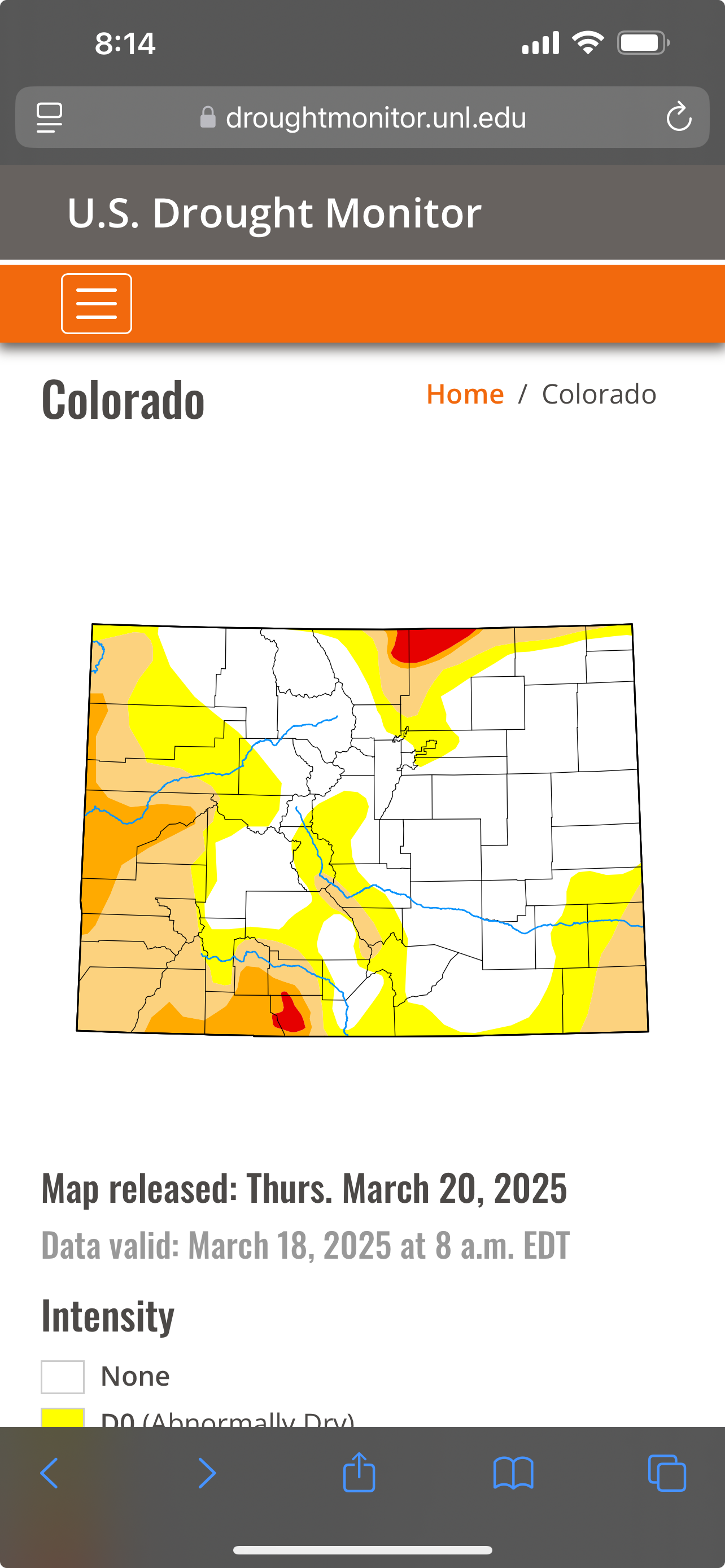
The Drought Monitor suggests that much of the area is doing ok.

-
I woke up to a surprise 4” snowfall this morning. I’ll take that any day.

Mountain West Discussion
in Central/Western States
Posted
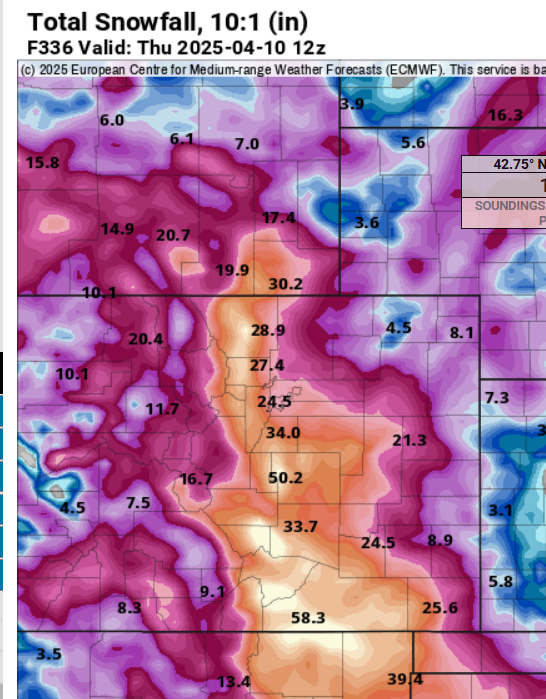
Way too early but I can’t resist. Models are showing the first snowfall for the front range mid month.