mayjawintastawm
-
Posts
1,555 -
Joined
-
Last visited
Content Type
Profiles
Blogs
Forums
American Weather
Media Demo
Store
Gallery
Everything posted by mayjawintastawm
-
OK now GFS says 4" of snow and only 0.88" QPF for my house (like half of the 18z run) while NAM says 14" of snow and 2.5" QPF on the 00z runs. GFS ensemble is 1.4" QPF but only 3 inches of snow (that actually sounds pretty realistic). SREF mean is close to the GEFS. NAM is nuts. Bedtime.
-
something looks weird to me though with that- I can only see Euro ensemble with free pivotalweather, but the maximum QPF (like Pueblo/Walsenburg) looks to be too close to where the 500 mb low tracks, which is not too far from where it tracked last run, though it is faster this time. But I certainly do not speak fluent modelese.
-
Smokeybandit, I think this one's for you... I'll be right on the hairy edge at 5650'. Honestly big snow this time of year doesn't excite me quite as much as it would in March, but I'll take it.
-
3.2" for the final today as we were under that very last band of snow that only quit around 1 PM. The next week system looks really interesting- sometimes (May 21 last year anyone?) they wind up colder than billed, which could make for a notable Tuesday night/Wednesday. Good thing few trees have leaves yet. After this week we can make a warm season thread, but maybe not yet.
-
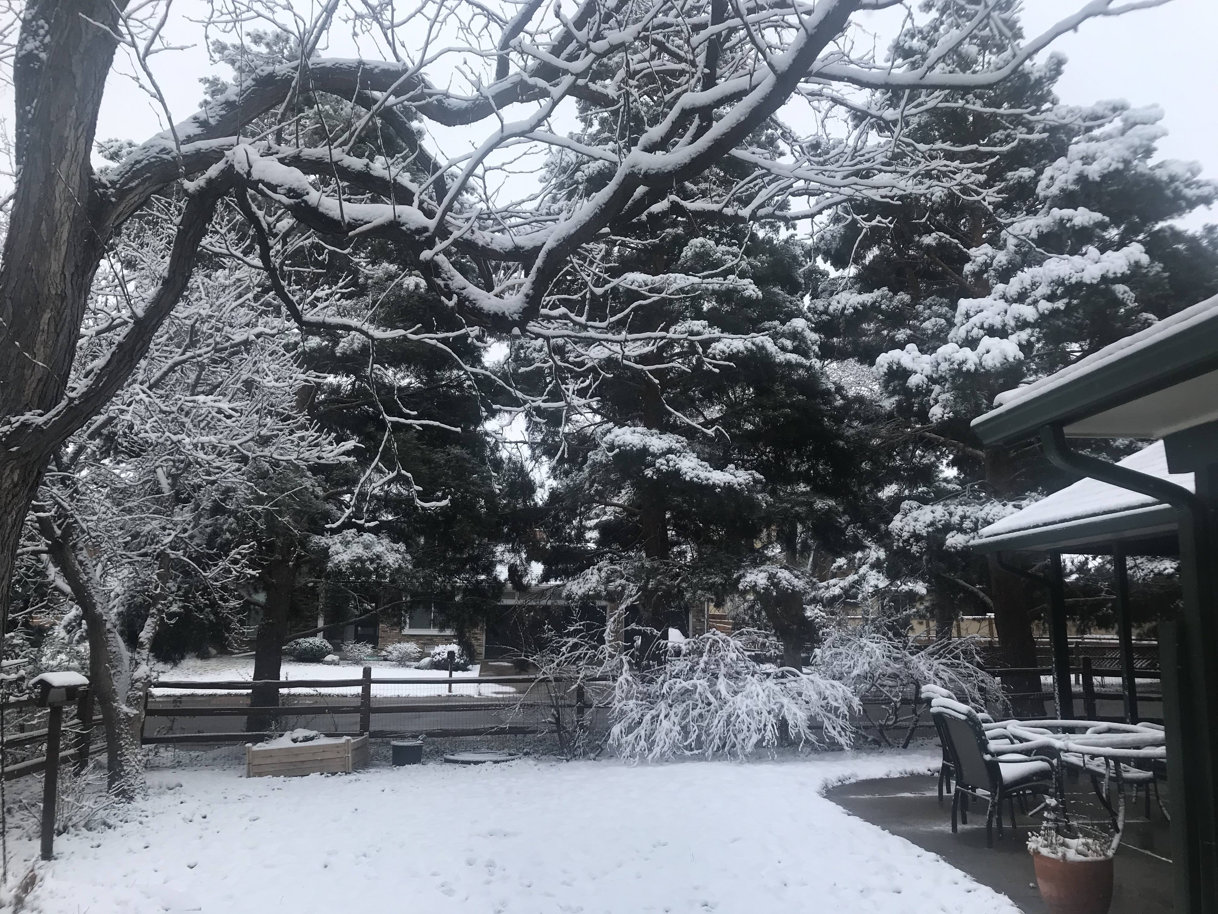
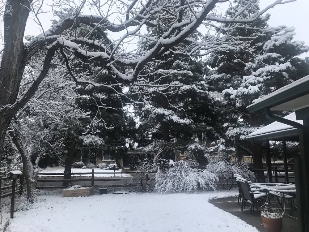
Nice 2.5" of snow last night, the most moisture at one time in a couple months. Pretty.
-
The story of the Spring to date.
-
GFS is like a 6 year old kid... entertaining, but enough to give you a headache sometimes.
-
Precip totals around the Metro area were also lower than predicted, 0.1" to 0.3" generally (we had 0.13" and the point forecast was 0.51" yesterday morning). You were probably under a couple of micro-bands that did the job. Driving around yesterday evening, the snow intensity was incredibly variable just over a mile or two in Lone Tree-Centennial-Greenwood Village. I wonder what causes those effects- subtle convection?? Lake effect from Cherry Creek Reservoir?
-
Smokeybandit, yours was the highest in the Metro area, looking at COCORAHS. Everywhere within the 470 extended beltway was <1" and the only 6" totals outside of the foothills were at the top of the Palmer Divide from Black Forest on west. Congrats!
-
Nice. Got half an inch, then dryslotted. More later maybe. Fertilized the dust yesterday.
-
Looks like tomorrow might be the first rainy day in >6 months for the Front Range. Bring it on! Now of course that means it will go "poof".
-
OK, OK.... you win. but the usual springtime wetness from the south and east has just failed to materialize so far. I guess it all turned into tornadoes in the Mississippi Valley.
-
I'd love to get more than 0.1" moisture in any form. Something is persistently keeping this from happening east of the Divide and south of Wyoming for about 500 miles.
-
DEN broke the record low for April 5 with 11 F this morning, old record was 12 in 1983. My house also 11.
-
About 0.5" here. EDIT: final was 1.5" for the calendar day.
-
So freaking dry. March with 0.24" water and 3.2" snow at my house, well under an inch of water for Q1 2023. Nearest NWS climate station at Centennial Airport has 0.70" YTD. No ignition sources, please.
-
Great. We got graupel for 2 minutes that added up to a trace. March precip to date 0.18" and 1.6" snow.
-
That was fun. Boy was I tired after shoveling that- was about at the limit of throwing snow up onto the banks. Only took a couple weeks, though, before it was mostly gone.
-
March has been awfully weird lately. 4 of the top 20 least snowy Marches (since 1882) have been since 2011.
-
And 7.3" here in Feb for a total of 40.4".
-
And now there is no system. Back to super dry and windy like 3 of the last 4 Marches.
-
Hate to say it, but the ugly second half of winter dry pattern is reasserting itself here... though cooler than normal, Centennial (nearest station to me) is only at 0.42" for Jan-Feb and my house not much more than that.
-
Dang.
-
Wondering what blizzard criteria for Southern CA would be... 1 or more snowflakes visible within 1/4 mile and temps+winds making it somewhat uncomfortable to wear shorts.
-
Indeed. -10 here and forecast was +2.