yankeex777
-
Posts
446 -
Joined
-
Last visited
Content Type
Profiles
Blogs
Forums
American Weather
Media Demo
Store
Gallery
Everything posted by yankeex777
-
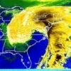
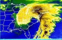
Right there is sleet on the map, south of the mason dixon line, but not in phl, not at 18z But to be fair, im not a huge fan of their maps, especially when its not all snow
-
When do you think the best rates will hit?
-
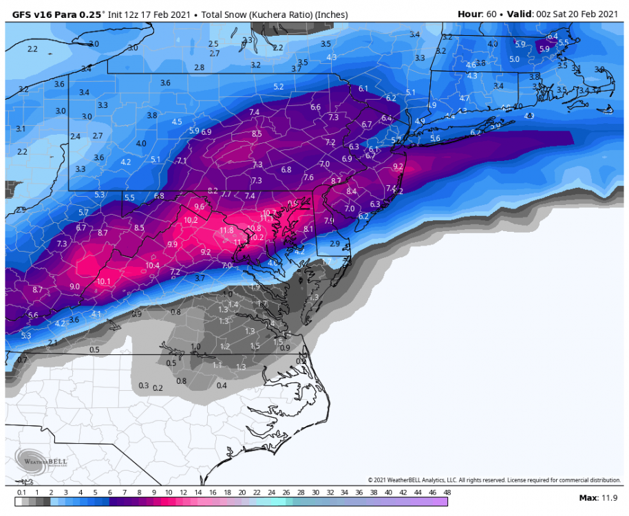
I agree with this for the most part. I would say maybe 4-7 (less east, more west) from say rt130 west to just over the Delaware into PA. And that should cover most of mercer, some of Middlesex and north west burl county. If there's more sleet 4 inches will verify, less sleet than you could see that upper end amount and I agree with the lollys north and west especially if the sleet holds back.
-
Para looks good
-
NAM usually nails those sneaky warm levels, dont discount it
-
Take
-
No Hopewell hole?
-
Lol it just does not want to snow in this area. It's remarkably consistent
-
Last 24 hours has kind of trended that way.
-
Before they realigned everything, 295 north would suddenly just turn into 95S right around when you cross over into pa over the Scuddersfalls bridge. It makes sense when you look at it on a map cause it's just one big circle, but still confusing. I think they changed that when they changed the exit numbers.
-
When you guys refer to 95, which 95 is it? I'm in nj and there's the turnpike which is commonly referred to as 95. The 95 in Pennsylvania turns into 295 once it enters NJ. I've always been curious.
-
Nothing can be worse than when MA, philly and nyc were all one subforum. Reading out model runs was so confusing.
-
1000% still going. I'm just hoping they dont cancel appts
-
4:00 to be more specific
-
When is start time for this? I'm getting the vax in the afternoon I hope I'm not impacted...
-
That's ridiculous, they speak for themselves lol
-
I believe its free? I havent been over there in a while, though.
-
I take .
-
Let's be honest, when is kuchera ever right?
-
nj or just sepa?
-
2-4 is a fair guess at this point. Anything more is gravy
-
I got the snow blower all fixed and ready to toss some fine powder! Lets go!
-
Gotcha, that's fair. I don't know for certain but I'm willing to bet the last couple storms this season didn't verify at even 10:1. I'll take 10:1 at a minimum
-
What can we expect as far as ratios for philly-TTN? 12:1? higher?
-
Trenton/hamilton/bordentown missed out on most of the heavy bands last week to sleet. Hopefully we cash in this weekend.