

mahk_webstah
-
Posts
10,345 -
Joined
-
Last visited
Content Type
Profiles
Blogs
Forums
American Weather
Media Demo
Store
Gallery
Posts posted by mahk_webstah
-
-
8 minutes ago, CoastalWx said:
Who asked about flights? bob?
I will take the opportunity...I leave on the morning BA flight from Logan to Heathrow. It leaves Wed 730am which should beig je fine, but it has to arrive on Tuesday eve. Do those big jets tend to land in storms? Muchas Gracias
-
1 minute ago, Hoth said:
12z is big today IMO. Everything should be sampled, so we in western wastes will need another 50 mile tick...unless the storm does its thing of throwing a deform farther west than modeled of course.
To me it’s impressive that despite a track on or outside the benchmark the models have been putting out substantial QPF well back to the west. I’m not sure why that’s happening, is it the strong north and stream pulling moisture back?Looks like 6-12 back here and further n and w
-
-
2 hours ago, Typhoon Tip said:
D11 froster shows up on the 12z GFS - WHOSE WITH ME?!
I'd like one more week for the tomatoes...
-
On 8/19/2017 at 10:02 AM, dendrite said:
Moral of the story. Enjoy the next handful of days of summer. The 6z GFS carries single digit C 850s into September. Looks like another year where most saw their warmest temps in May or June.
Weather has been stunning. Living in Dover for a few more months and time off means mornings on Ogunquit Beach a lot. Very happy for an orderly progression into an equally stunning fall if that is what is being shown.
-
CI will post this in the obs thread since not much going on in here...what is happening? is the storm still going to stall and move nw at all or is that done?
-
To support the non-panicky dialogue (despite the fact that I am a spotlight staring, radar obsessing, frightened weenie), this is the update from BOX at 9:30:
930 PM UPDATE...
WV LOOP SHOWS CLASSIC CYCLOGENESIS TAKING PLACE WITH WELL DEFINED
COMMA HEAD OFF MID ATLC COAST WITH WARM CONVEYOR BELT/TROWAL
LIFTING NWD INTO NEW ENG. STILL PLENTY OF JET ENERGY DIVING SOUTH
TO THE SE US COAST WITH TRAILING NEG TILT SHORTWAVE/MID LEVEL
CIRCULATION OFF NC COAST WITH SCT LIGHTNING STRIKES NOTED. IT IS
THIS SHORTWAVE THAT WILL RESULT IN DEEPENING MID LEVEL LOW CENTER
AND EXPLOSIVE CYCLOGENESIS SOUTH OF NEW ENG. -
Going lower than 983, I say 975
According to mesoanalysis the storm center has dropped from 1004 mb to 996 mb in the last 4 hours. Bombing out has commenced.
-
Why the heck not Boston. You'd have fun. Or a town in sema where you can walk around.
Urgent , i can switch my reservation mansfield instead would that be better?
-
Water vapor loop is pretty classic. Live link
Frikkin awesome to see what is happening just off the NC coast. Love the south to north motion and explosion of cloud tops. BTW if you didn't know, there is an awesome pinned thread in the NYC subforum with every conceivable radar, satellite pressure falls, etc link.
-
really nice sat and radar links in nyc thread...precip really developing along midlantic coast
-
Go to Boston or a city where you can walk around and enjoy yourself.
Hey guys, I have a motel booked in Southborough MA....thoughts? Based on latest data I'm trying my best to pick the best spot. I am starting to lean on NE CT, but I can't decide. Any last second opinions before I leave?!
-
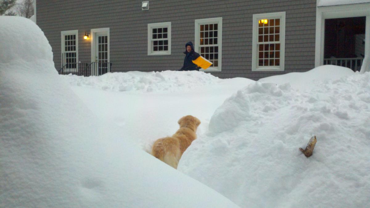
Late Jan 2011 near the peak of the snow depth. The little blondie passed on in June.
-
Will? He's been offline for a bit and he has the really nice good guy kindof demeanor...
-
Whodunnit? Guesses?
-
I have a vague memory from elementary school...walking to school in the morning it was supposed to snow 1-3, started to snow and then got heavy, we got dismissed midday and the walk home was awesome. The new forecast said 4-6. Played in the yard for a couple of hours then the flakes got really big for a few minutes and it was over. 6 inches I remember and as the sun was setting the sky cleared. A perfect little snowstorm that is the first I remember. Probably 73 or so. Dover DE.
The first biggie was 78. Still in Dover. Knew it was coming but was supposed to be like 4-8 or something. Remember waking up to rain and sleet in the middle of the night, then to snow in the morning. It snowed heavily and we had maybe 6-8 inches then it lightened up. Went to play tennis indoors with my Dad. After a couple of hours looked outside and it was raging ripping blizzarding whatever. Someone in the lobby of the tennis center turned on the radio and the metereologist said the storm had stalled and that we going to continue to get heavy snow, well over a foot. Some cars were getting buried and one of my dad's buddies car was stuck so he came home and spent the night at our house. Ended up with a solid 16 inches. That was a Monday I think and we missed the whole week of school. At that point I was hoooked. PD1 with its 25 inches followed the next year.
Somewhere I have my handwritten notes and I will attempt to find them and scan them this weekend.
March 13th ... west Atlantic bombogenesis type low clipping SE New England, more certain ...may be expanding inland
in New England
Posted
thats called a joke - didn't get it?