
MickeyTim6533
-
Posts
275 -
Joined
-
Last visited
Content Type
Profiles
Blogs
Forums
American Weather
Media Demo
Store
Gallery
Everything posted by MickeyTim6533
-

E PA/NJ/DE Winter 2025-26 Obs/Discussion
MickeyTim6533 replied to LVblizzard's topic in Philadelphia Region
hearing 6z euro says rain -
so is winter a wrap?
-
E PA/NJ/DE Winter 2025-26 Obs/Discussion
MickeyTim6533 replied to LVblizzard's topic in Philadelphia Region
MU on the upcoming weekend: During the second half of the weekend, there has been more unwarranted "hype" in recent days regarding a potential winter storm. The odds of that actually happening are very low. Instead, a developing storm system over the southern Plains on Saturday will likely track due east through Sunday and exit into the Atlantic somewhere between South Carolina and northern Florida. Either way, that's too far south for any precipitation to reach northern MD or southern PA, and Sunday will likely just turn out partly-to-mostly cloudy and dry with highs in the 40s. Behind the system, early next week should turn out equally as nice with mostly sunny skies accompanying an even bigger moderating trend. Essentially, the weather is going to be a "snoozefest" for at least the next week, and our moderate-to-extreme drought conditions are only going to worsen. -
well you can tell DR No decided it, this place is a morgue lol
-
E PA/NJ/DE Winter 2025-26 Obs/Discussion
MickeyTim6533 replied to LVblizzard's topic in Philadelphia Region
Euro AI wayyyyy south -
E PA/NJ/DE Winter 2025-26 Obs/Discussion
MickeyTim6533 replied to LVblizzard's topic in Philadelphia Region
-
E PA/NJ/DE Winter 2025-26 Obs/Discussion
MickeyTim6533 replied to LVblizzard's topic in Philadelphia Region
cmc says otherwise -
E PA/NJ/DE Winter 2025-26 Obs/Discussion
MickeyTim6533 replied to LVblizzard's topic in Philadelphia Region
GFS suppressed -
E PA/NJ/DE Winter 2025-26 Obs/Discussion
MickeyTim6533 replied to LVblizzard's topic in Philadelphia Region
close to a phase though -
E PA/NJ/DE Winter 2025-26 Obs/Discussion
MickeyTim6533 replied to LVblizzard's topic in Philadelphia Region
hearing icon is suppressed -
E PA/NJ/DE Winter 2025-26 Obs/Discussion
MickeyTim6533 replied to LVblizzard's topic in Philadelphia Region

-
E PA/NJ/DE Winter 2025-26 Obs/Discussion
MickeyTim6533 replied to LVblizzard's topic in Philadelphia Region
-
Central PA Winter 25/26 Discussion and Obs
MickeyTim6533 replied to MAG5035's topic in Upstate New York/Pennsylvania

-
Central PA Winter 25/26 Discussion and Obs
MickeyTim6533 replied to MAG5035's topic in Upstate New York/Pennsylvania
-
Central PA Winter 25/26 Discussion and Obs
MickeyTim6533 replied to MAG5035's topic in Upstate New York/Pennsylvania
euro rain -
Central PA Winter 25/26 Discussion and Obs
MickeyTim6533 replied to MAG5035's topic in Upstate New York/Pennsylvania
march -
E PA/NJ/DE Winter 2025-26 Obs/Discussion
MickeyTim6533 replied to LVblizzard's topic in Philadelphia Region

-
E PA/NJ/DE Winter 2025-26 Obs/Discussion
MickeyTim6533 replied to LVblizzard's topic in Philadelphia Region
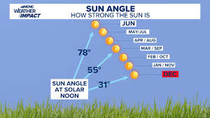
Sun Angle -
E PA/NJ/DE Winter 2025-26 Obs/Discussion
MickeyTim6533 replied to LVblizzard's topic in Philadelphia Region
Really? im in Exeter township and we have 26 mph winds...with higher gusts -
E PA/NJ/DE Winter 2025-26 Obs/Discussion
MickeyTim6533 replied to LVblizzard's topic in Philadelphia Region
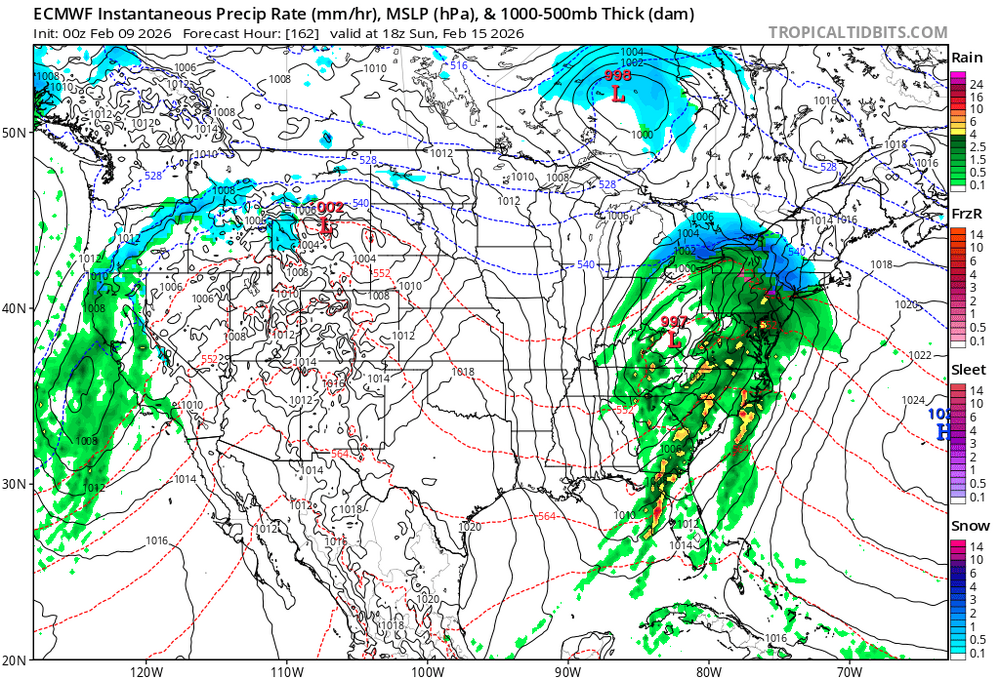
6z GFS says what storms? -
E PA/NJ/DE Winter 2025-26 Obs/Discussion
MickeyTim6533 replied to LVblizzard's topic in Philadelphia Region
-
E PA/NJ/DE Winter 2025-26 Obs/Discussion
MickeyTim6533 replied to LVblizzard's topic in Philadelphia Region
overnight runs...yikes.