jsw
-
Posts
223 -
Joined
-
Last visited
Content Type
Profiles
Blogs
Forums
American Weather
Media Demo
Store
Gallery
Everything posted by jsw
-
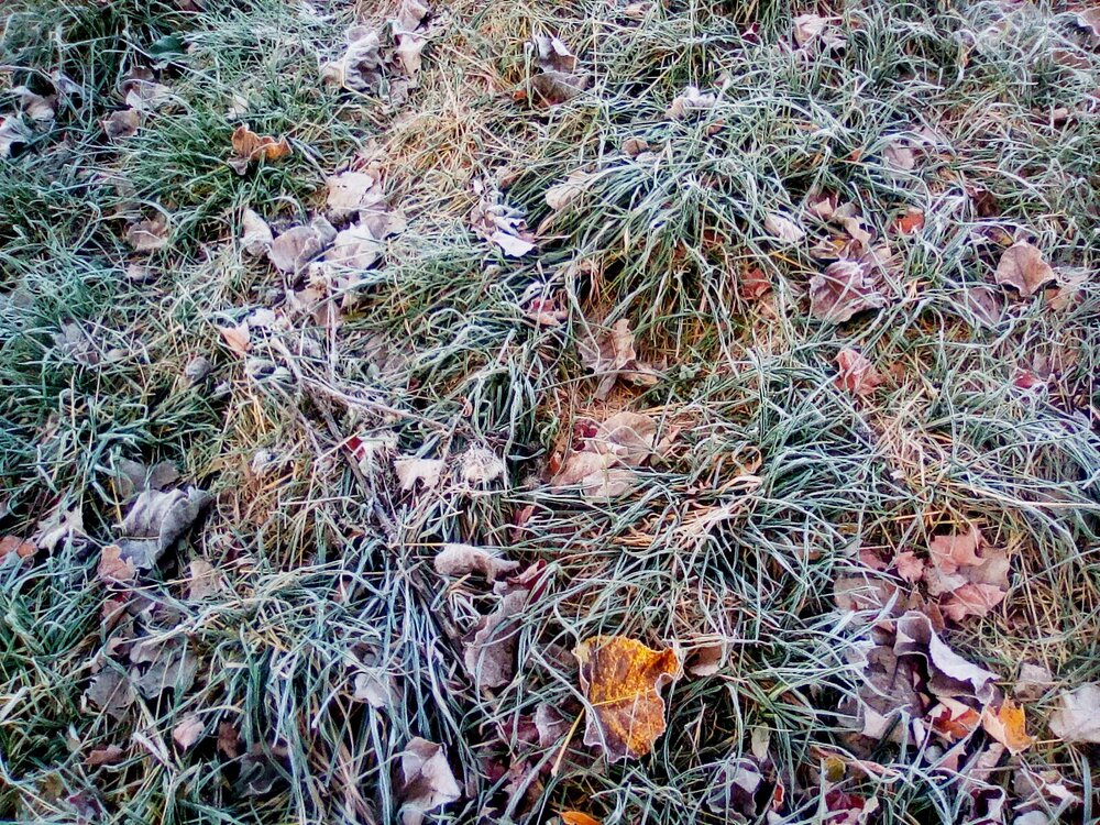
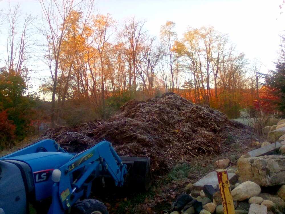
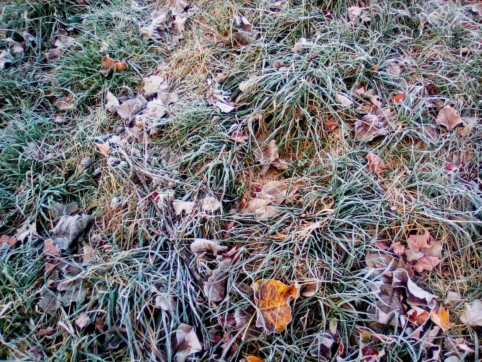
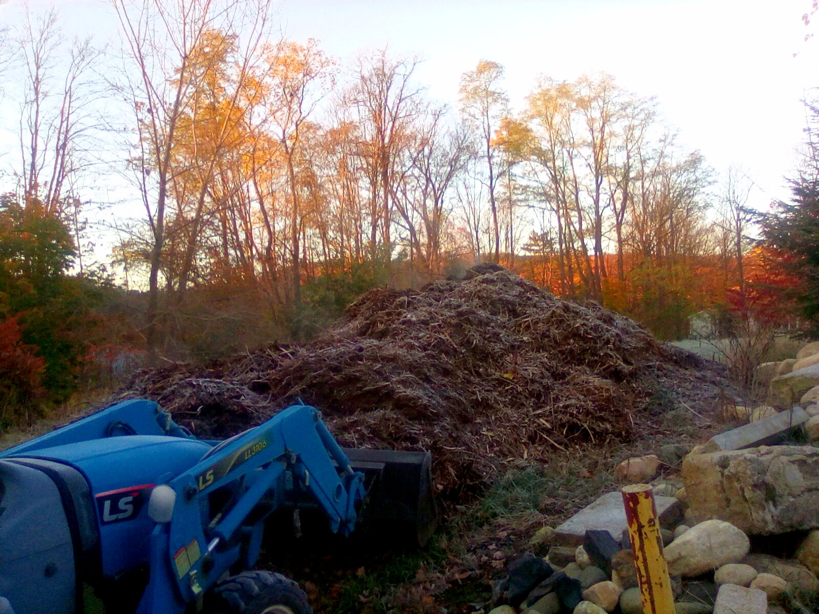
Frost in the meadow and steaming "remaul" (sp) mulch from the chipper. Morning.
-
Get ready to pick up scraps!
-
NWS says around 1.5 inches here...fingers crossed.
-
Low 25/24.1. I have been outside. Feels like 22 or so here in the Connecticut River Valley. Nice, if you bundle up!
-
I grew up climbing Mount Washington and The Presidential Range. I have skied Tuckerman Ravine three years straight the years after college. Final time from the lip. Wicked cool, and scary as hell, going up and down. Took the left gully down, didn't fall. Have pix on my FB page. One shot climbing in the summer, "This mountain has some of the worst weather in the world. Turn back now if you are unprepared." I paraphrase, will dig up the photo. Highest wind speed ever recorded: 230 some odd MPH. Mount Washington is no joke.
-
It's 24/23 here, probably minus a couple degrees compared with KEEN A little nip in the air!
-

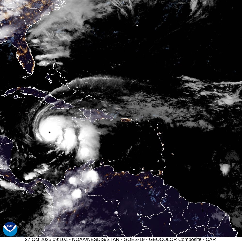
Major Hurricane Melissa - 892mb - 185mph Jamaica landfall
jsw replied to GaWx's topic in Tropical Headquarters
I downloaded these this morning.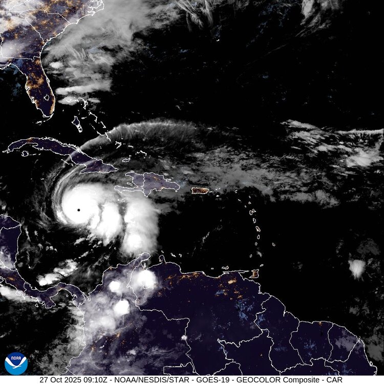
.thumb.jpg.f667505794bbb478fdb726c9ab7250d4.jpg)
-
But then some people wouldn't have anything to post! Haha.
-
Yes, I am a weenie!!!
-
Now 29/28 at 6am. Feels kinda chilly out there. That's KEEN, Almost 200 feet higher. We are often a few degrees colder here in Brattleboro, which is about 300 ft. ASL at the Connecticut River, when we have thermal inversion. BTW, finally getting a new outdoor thermometer at my new apartment next month...
-
I don't really care if it's fantasy or real, I just like to see models of snow piling up. It used to happen!
-
On a different note, regarding what's "on topic" in the New England forum, have never posted much, just read and post OBS usually. I have more time and I am about to have to go back to "read only" mode, with work again, and a move to a new apartment next month. Th is mainly for my own edification. But, apparently, when a weather system offshore will affect the coast of New England, e.g., wind, coastal erosion, and concomitant flooding, perhaps rain and snow squalls, is it not appropriate to post "waves coming," or similar, since I was born and raised in coastal New England, and I am far from the only 100 times per tear, mostly winter, surfer (and snowboarder) here? Oh, it's not about snowmobiles or lawns. I see. I will keep it to my surf and snowboard forums then. Good to know!
-
Local station reports low of 32/32, fog over the Connecticut River, now burned off, 38F and clear as a bell!
-
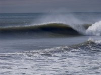
Waves.
-
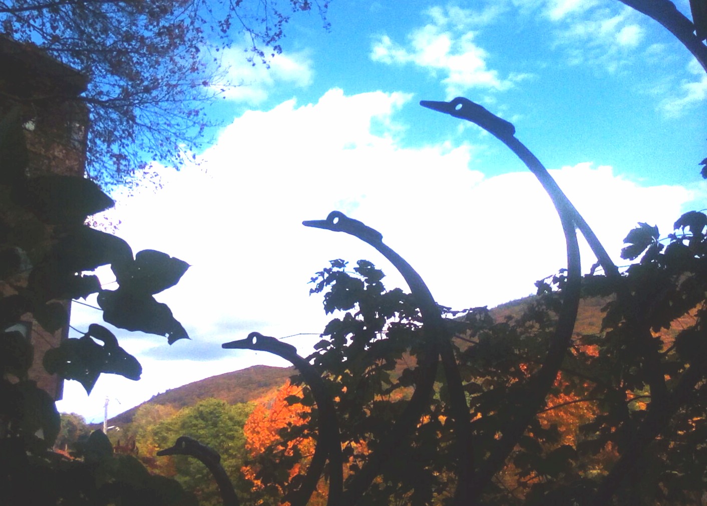
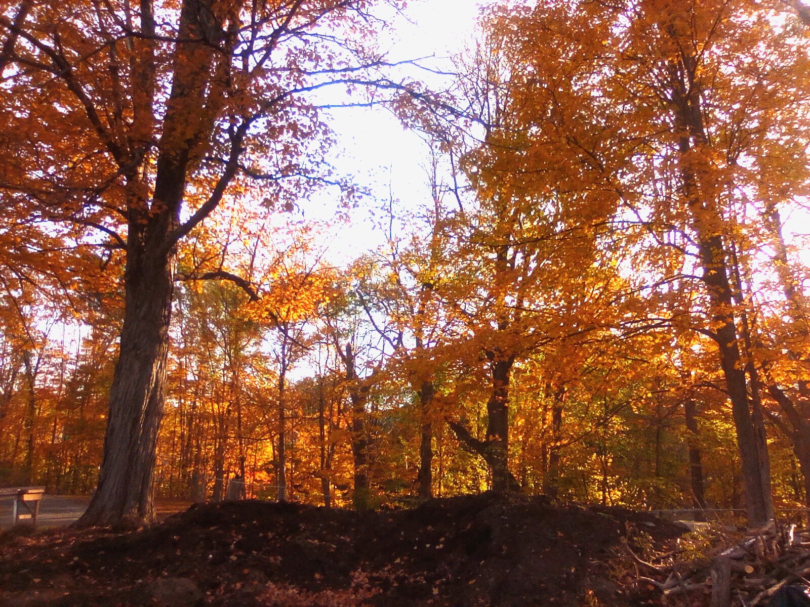
We have achieved peak color!


-
My local station reports .83 inches thus far. The Whetstone Brook running through the center of town is finally filling its banks. Huzzah!
-
OK this can be deleted now...a rare glitch, this site is very stable. Thanks!
-
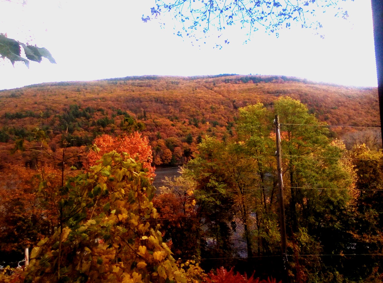
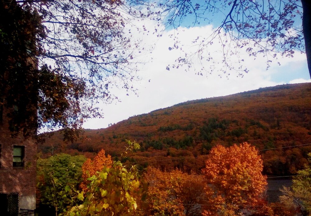
The yellows are the best this year...This one seems to have disappeared after I posted it yesterday. The backyard.

-
I posted a foliage photo this morning, and it disappeared. About a week ago I posted about NOAA's Blobtracker Web site in the New England forum, and it was removed. I get that - off topic or wrong forum, no problem. But a foliage photo from my backyard in Vermont? Just curious....
-
Yellows are nice this year...

-
NOAA has a Pacific Ocean heat "blob" Blobtracker Web site. It tracks large areas of heat under the ocean's surface. These areas can affect weather "thousands of miles away." Right now, there is a very large blob of heat stretching from Alaska to California. I found the whole thing...fascinating. Link is the article, NOAA Blobtracker link below: https://www.kuow.org/stories/return-of-the-blob-heat-wave-spans-pacific-ocean https://www.integratedecosystemassessment.noaa.gov/regions/california-current/california-current-marine-heatwave-tracker-blobtracker
-
Local station, KEEN, reports .34 inches total. I am about 20 miles away, and that seems right for here, too. We were under a giant hole in the precip most of yesterday. I am happy to see the big totals from parts of New England!
-
Haven't seen this in the forecast in a while. I like it. NWS KEEN station for Brattleboro: Saturday Night A slight chance of showers. Mostly cloudy, with a low around 44. Calm wind. Chance of precipitation is 20%. Sunday A chance of showers after 2pm. Mostly cloudy, with a high near 61. East wind 3 to 7 mph. Chance of precipitation is 30%. New precipitation amounts between a tenth and quarter of an inch possible. Sunday Night Showers likely, mainly after 2am. Cloudy, with a low around 46. Chance of precipitation is 60%. New precipitation amounts between a half and three quarters of an inch possible. Columbus Day Showers likely. Cloudy, with a high near 54. Chance of precipitation is 60%. Monday Night Showers likely. Mostly cloudy, with a low around 45. Chance of precipitation is 60%. Tuesday A chance of showers. Mostly cloudy, with a high near 58. Chance of precipitation is 40%. Tuesday Night A chance of showers before 2am. Mostly cloudy, with a low around 45. Chance of precipitation is 30%. Wednesday A chance of showers. Partly sunny, with a high near 63. Chance of precipitation is 30%. Wednesday Night A chance of showers. Mostly cloudy, with a low around 40. Chance of precipitation is 30%. Thursday A chance of showers. Mostly sunny, with a high near 54. Chance of precipitation is 30%.
-
Low of 23F here (7am), now 25F. Crisp and clear!
-
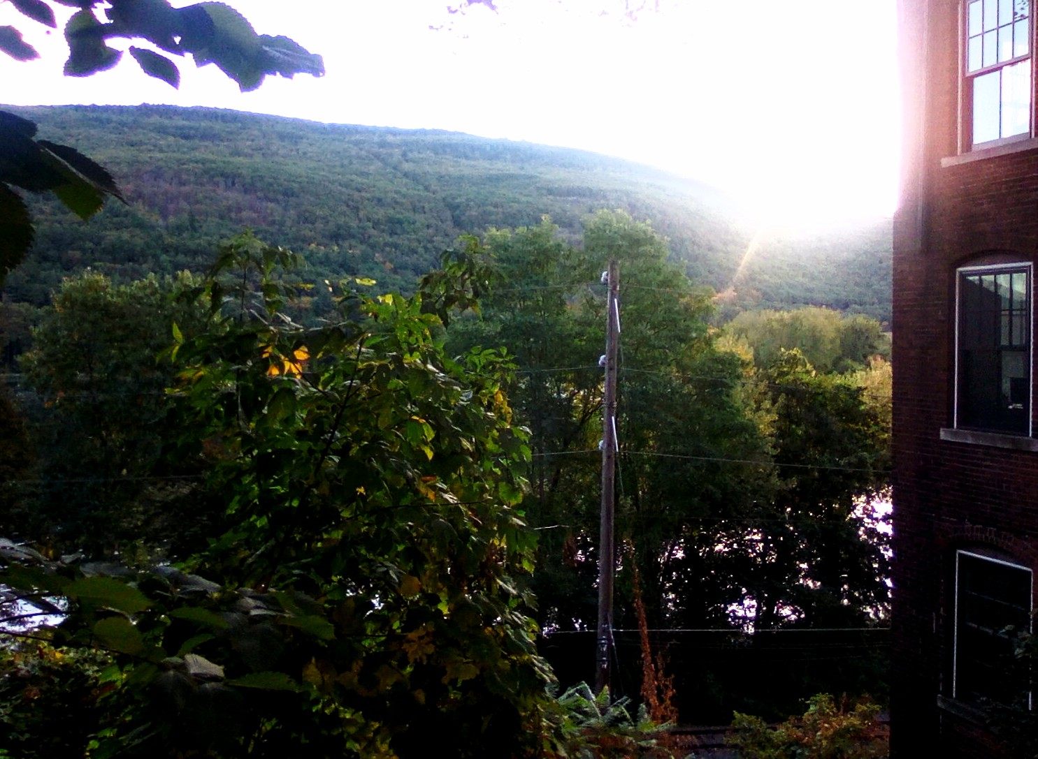
Still green here this morning!


.jpg.b6b906d42ee52f748882238f5ba4cfda.jpg)