WinterWxLuvr
-
Posts
29,279 -
Joined
-
Last visited
Content Type
Profiles
Blogs
Forums
American Weather
Media Demo
Store
Gallery
Everything posted by WinterWxLuvr
-

December 16-17, 2020 Winter Storm Obs/Nowcasting
WinterWxLuvr replied to WxUSAF's topic in Mid Atlantic
@clskinsfan Dude that has to be a pocket of sleet. Or an asteroid -
December 16-17, 2020 Winter Storm Obs/Nowcasting
WinterWxLuvr replied to WxUSAF's topic in Mid Atlantic
Talk dirty to me -
December 16-17, 2020 Winter Storm Obs/Nowcasting
WinterWxLuvr replied to WxUSAF's topic in Mid Atlantic
The Euro hasn’t been exactly stellar with this either -
December 16-17, 2020 Winter Storm Obs/Nowcasting
WinterWxLuvr replied to WxUSAF's topic in Mid Atlantic
FWIW, SPC keeps this low off the Va Capes -
December 16-17, 2020 Winter Storm Obs/Nowcasting
WinterWxLuvr replied to WxUSAF's topic in Mid Atlantic
Snow in Staunton -
December 16-17, 2020 Winter Storm Obs/Nowcasting
WinterWxLuvr replied to WxUSAF's topic in Mid Atlantic
Wish one of our Mets would explain the 700-850 map EJ mentioned -
December 16-17, 2020 Winter Storm Obs/Nowcasting
WinterWxLuvr replied to WxUSAF's topic in Mid Atlantic
KOKV reporting Snow with vis at 0.25. Not sure what constitutes heavy but ok -
December 16-17, 2020 Winter Storm Obs/Nowcasting
WinterWxLuvr replied to WxUSAF's topic in Mid Atlantic
Which side is the right side? I don’t know how to interpret that map -
December 16-17, 2020 Winter Storm Obs/Nowcasting
WinterWxLuvr replied to WxUSAF's topic in Mid Atlantic
Shows well the snowfall rate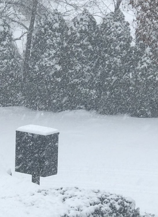
-
December 16-17, 2020 Winter Storm Obs/Nowcasting
WinterWxLuvr replied to WxUSAF's topic in Mid Atlantic
Ripping -
December 16-17, 2020 Winter Storm Obs/Nowcasting
WinterWxLuvr replied to WxUSAF's topic in Mid Atlantic
Right at 2” -
December 16-17, 2020 Winter Storm Obs/Nowcasting
WinterWxLuvr replied to WxUSAF's topic in Mid Atlantic
Thought you were sleet. I was gonna ask you how much sleet you had lol -
December 16-17, 2020 Winter Storm Obs/Nowcasting
WinterWxLuvr replied to WxUSAF's topic in Mid Atlantic
The NAM 3k was awful, awful (6z run) -
December 16-17, 2020 Winter Storm Obs/Nowcasting
WinterWxLuvr replied to WxUSAF's topic in Mid Atlantic
Anybody place any value on the precip type function on RadarScope? -
December 16-17, 2020 Winter Storm Obs/Nowcasting
WinterWxLuvr replied to WxUSAF's topic in Mid Atlantic
Anybody got a radar shot of that sleet line again. Is that something I can do on RadarScope? -
December 16-17, 2020 Winter Storm Obs/Nowcasting
WinterWxLuvr replied to WxUSAF's topic in Mid Atlantic
And once again CAD comes in stronger than modeled -
December 16-17, 2020 Winter Storm Obs/Nowcasting
WinterWxLuvr replied to WxUSAF's topic in Mid Atlantic
According to SPC looks to be about 75 miles off the SC coast -
December 16-17, 2020 Winter Storm Obs/Nowcasting
WinterWxLuvr replied to WxUSAF's topic in Mid Atlantic
I’m going off of memory which is dangerous but my recollection is that most models had it inland near NC/SC border by now -
December 16-17, 2020 Winter Storm Obs/Nowcasting
WinterWxLuvr replied to WxUSAF's topic in Mid Atlantic
Still gonna say it .. our low is not where it was forecast -
December 16-17, 2020 Winter Storm Obs/Nowcasting
WinterWxLuvr replied to WxUSAF's topic in Mid Atlantic
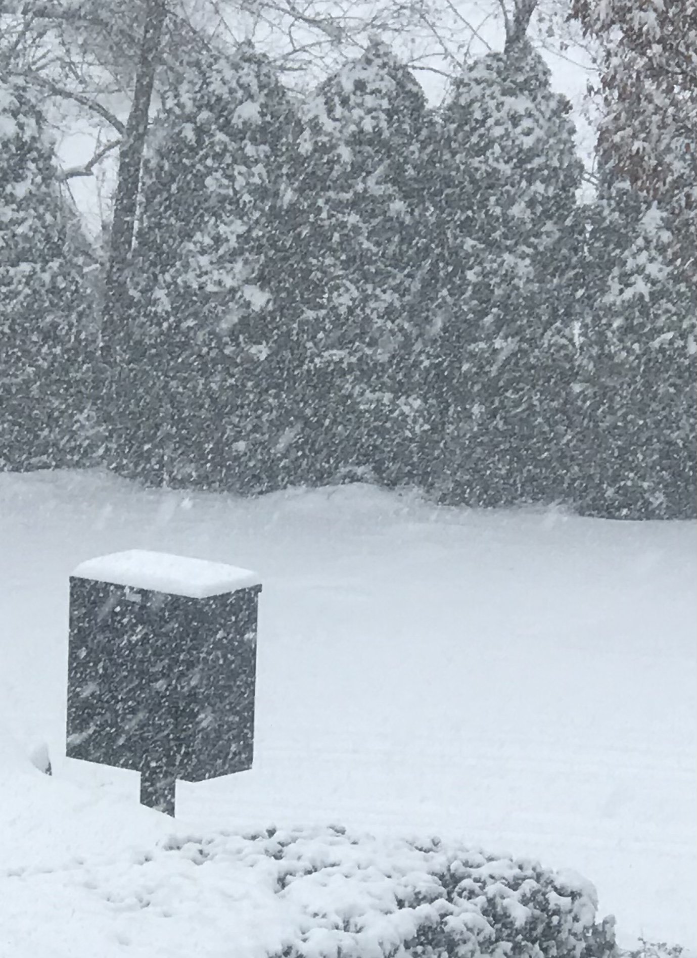
-
December 16-17, 2020 Winter Storm Obs/Nowcasting
WinterWxLuvr replied to WxUSAF's topic in Mid Atlantic
-
December 16-17, 2020 Winter Storm Obs/Nowcasting
WinterWxLuvr replied to WxUSAF's topic in Mid Atlantic
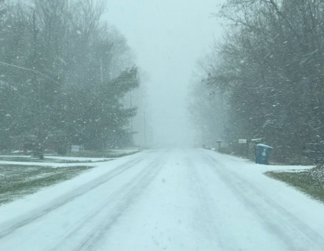
-
December 16-17, 2020 Winter Storm Obs/Nowcasting
WinterWxLuvr replied to WxUSAF's topic in Mid Atlantic
You’re so far to the ne that it’s just gonna take you a little longer. -
December 16-17, 2020 Winter Storm Obs/Nowcasting
WinterWxLuvr replied to WxUSAF's topic in Mid Atlantic
Since it wasn’t even supposed to start as early as it did perhaps you should withhold that evaluation for a bit -
December 16-17, 2020 Winter Storm Obs/Nowcasting
WinterWxLuvr replied to WxUSAF's topic in Mid Atlantic
Just think, according to the 3k snow will start here in about 3 hours. I can’t wait! Edit: referring to 6z