

Prospero
-
Posts
1,162 -
Joined
-
Last visited
Content Type
Profiles
Blogs
Forums
American Weather
Media Demo
Store
Gallery
Posts posted by Prospero
-
-
-
-
3 minutes ago, smokeybandit said:
Did the surge cam slide down the pole? Its angle looks lower than before
The pole is likely leaning over a bit.
-
 1
1
-
-
-
-
-
-
-
-
1 minute ago, NJHurricane said:
Pelican cases ftw
Used them for many years. Solid.
-
1
-
-
-
-
1 minute ago, gopack42 said:
Please keep the videos/live feeds coming! I appreciate all of the links. I'm horrible at finding stuff like that.
This is one to keep an eye on.
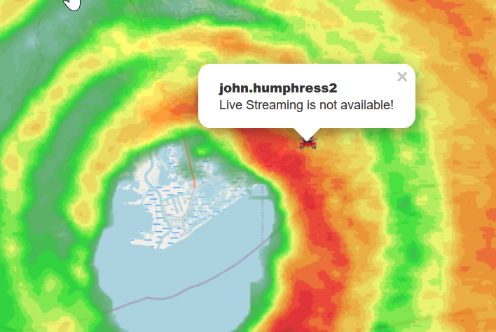
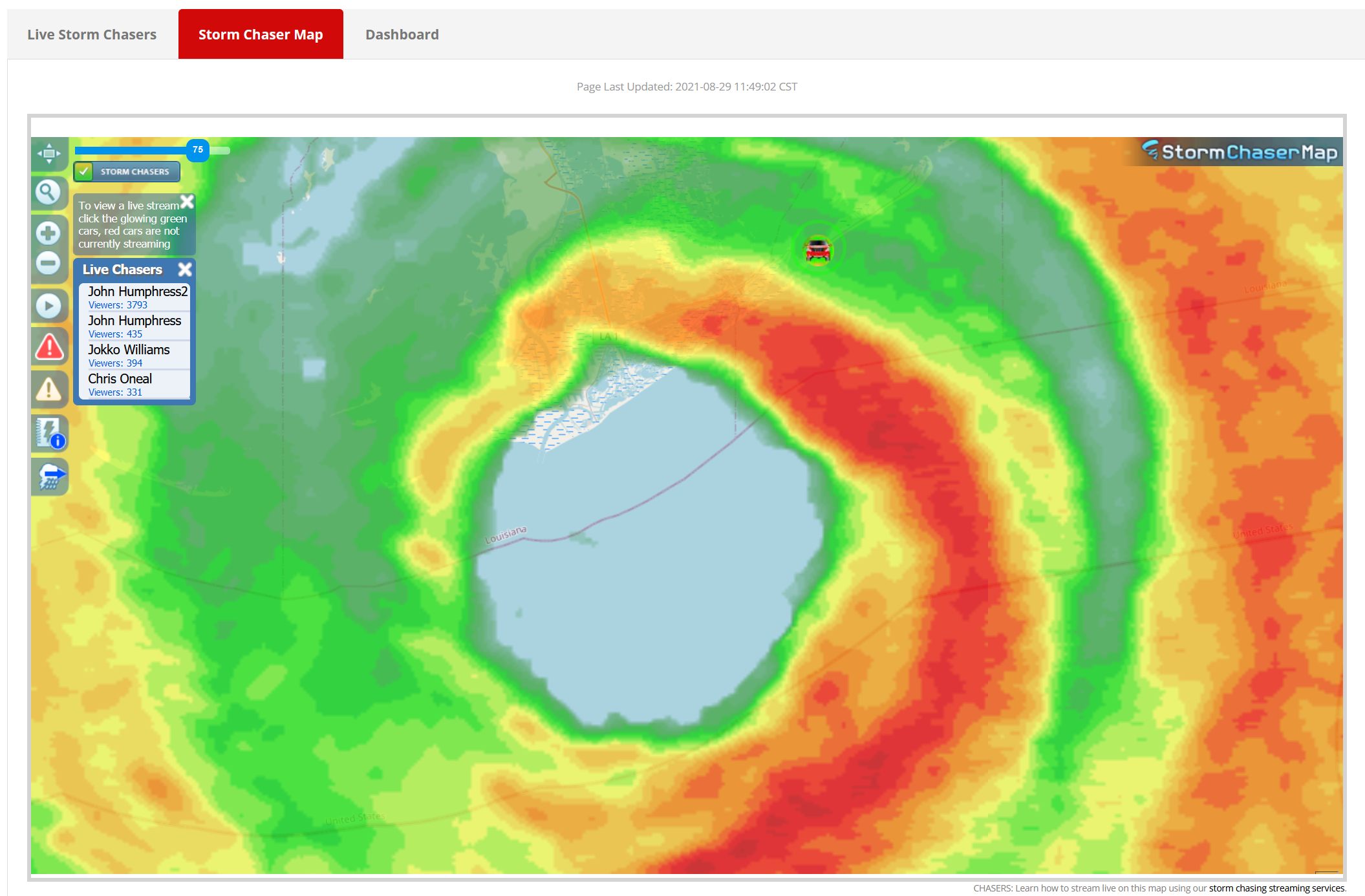
https://www.severestudios.com/storm-chasers/jokko.williams.html
-
2
-
-
1 minute ago, KPITSnow said:
Might be the replay. It looks dead to me.
-
2 minutes ago, hlcater said:
No one will ever top the Mexico Beach cam.
Is there a recording?
-
I
Just now, Maestrobjwa said:You almost feel like it's gonna go completely under and still be running, lol
I think its losing its cell connection when under water.
-
1
-
-
1 minute ago, CatoctinRN said:
Watching that cam makes me feel like I’m drowning.
Kinda makes a person wish they were storm chasing in the wrong place, doesn't it. Ooooops!! LOL
-
-
-
-
-
-
1 minute ago, eyewall said:
I saw a piece of a structure float by on the Grand Isle feed.
Getting brighter, could be entering the eye soon.
-
Just now, MN Transplant said:
Some trash floating by on the severestudios feed from Grand Isle. Could identify a cooler.
A gas can went by also. Someone's boat has bit the dust.
-
2
-


Major Hurricane Ida
in Tropical Headquarters
Posted
Intense video: