
Holston_River_Rambler
-
Posts
5,107 -
Joined
-
Last visited
Content Type
Profiles
Blogs
Forums
American Weather
Media Demo
Store
Gallery
Posts posted by Holston_River_Rambler
-
-
Very loud storms this AM. Some of the loudest and longest thunder I've heard in a while. Like John I am hoping this soil moisture helps with the upcoming ridge.
-
I like hope.
I'm kinda interested to see how this big ridge develops. As Jeff pointed out earlier and as EPS and GEFS suggest the ridge could be centered north with a weakness at the bottom. Anything that gives a chance of some rain once the ridge develops is good by me. I live in a house built in 1903 (only partially by choice; wife was involved...) and its temps are very responsive to the air temps.
I second Flashes question on GLAAM. I've managed to find MJO sites, but not such luck for GLAAM.
-
 1
1
-
-
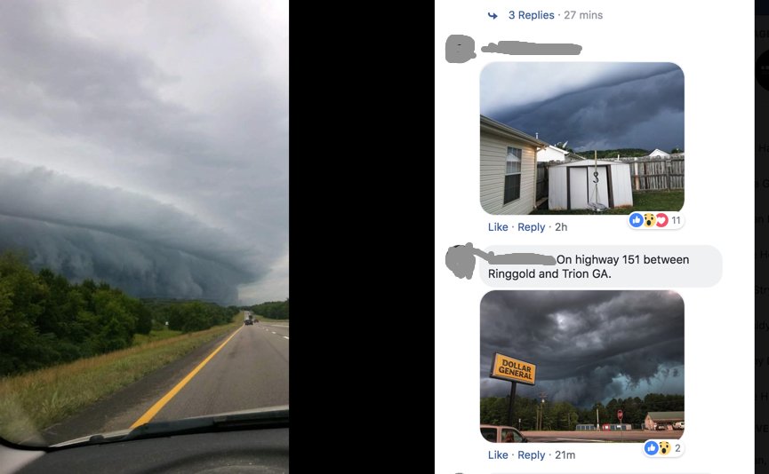
Some good cloud pics of WBIR's facebook from todays storms in East Tn and N GA:
-
 3
3
-
-
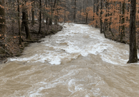
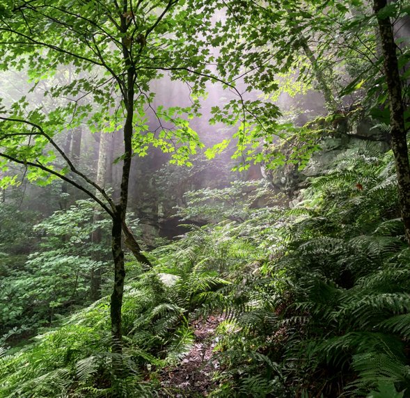
Frozen Head Rainforest:
-
5
-
-
I'm getting hopeful today for a pop up shower/ storm. Cumulus building pretty high even here near downtown Knoxville and already a radar return near Powell heading my way. Clouds definitely behaving a little differently than the past few days, so hopeful we can get something this afternoon.
-
Was watching the satellite and hoping for a t-storm cool down and noticed a nice little spin helping pull some of these storms off the mountains:
-
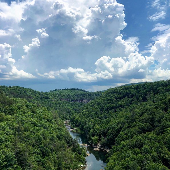
Obed Wild and Scenic river T-storm:
-
4
-
-
Exciting storm action in Fourth and Gill and Old North Knox neighboorhoods this PM:
Timed PM/ lunch people watching on Gay Street in downtown Knoxville just right to see people scramble from the rain. The last umph the storm had brought the wind with the front. Maybe some mid level dry air? Even under an awning I got a little soaked when the wind kicked up. A bottle of Sake helped.
-
1
-
-
Looks like y'all have been wet and hot while I've been hot and dry in the SW. Came back and yard/ flowers had exploded. Even TROWAL dog was bigger and living up to her nickname as she was rampaging wherever she went!
Here is a IMGUR album with some of the sky/ scenery photos from the trip. I threw a few petro/picto glyphs in there to make it educational;
") . https://imgur.com/a/WhaNVW9
. https://imgur.com/a/WhaNVW9
Weather was dry and even too hot sometimes. Caught some graupel or snow blobs at Bryce canyon from a cell that produced a flash flood near Capital Reef NP and caught a pic of a nice t-storm in the TX panhandle on the way back. Other than that, mostly clear skies and a few clouds.
-
2
-
1
-
-
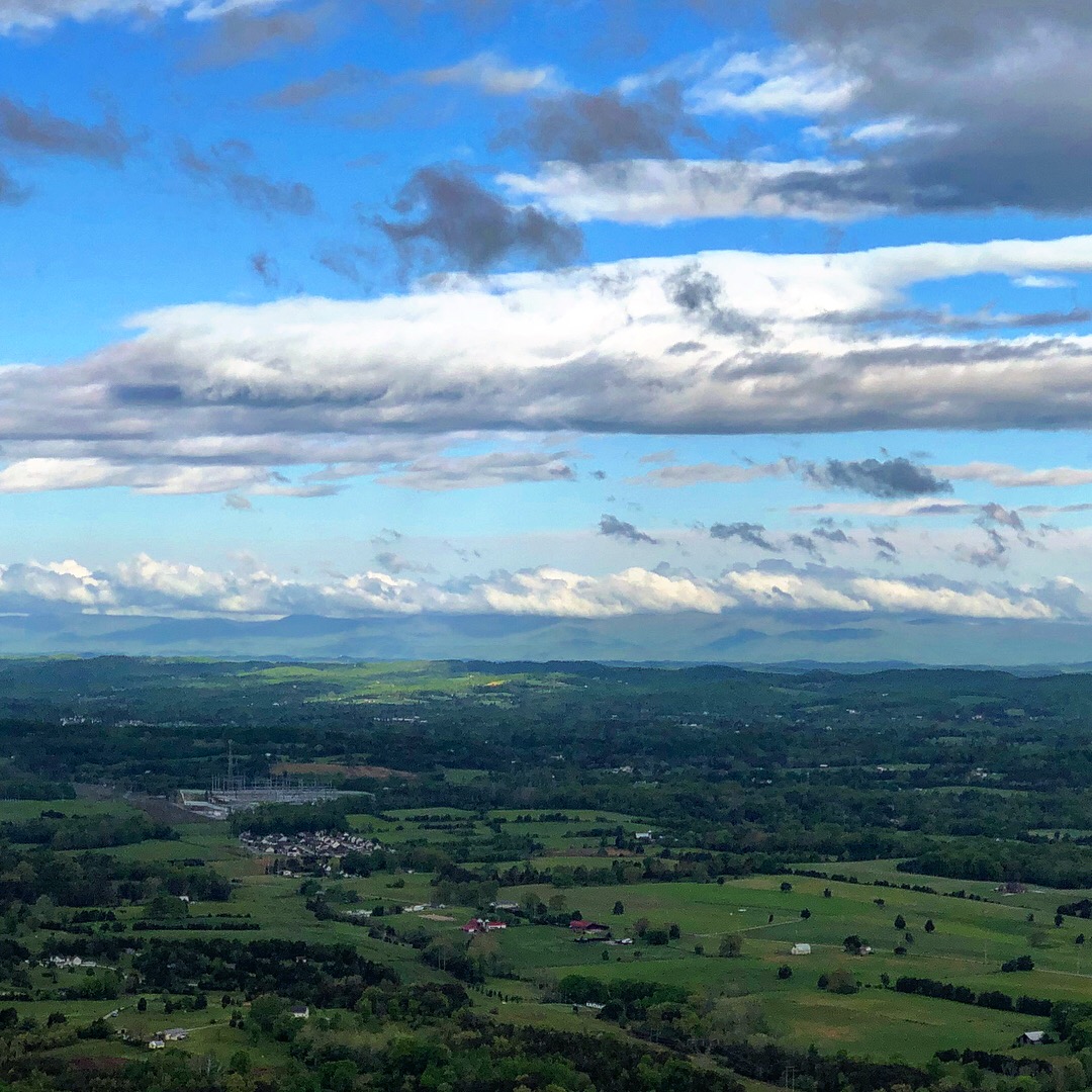
Video of time lapse atop Round Bald on Roan Mountain. A storm over WNC and other clouds. Apologies for the angle, but I've only begun fooling around with time lapse and all I had was a phone and a rock to lay it on.
-
4
-
-
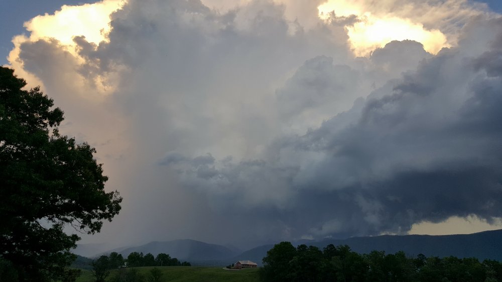
Caught the above storm from a couple of spots today:
Panorama from Roan Mountain [too big to attach](storm on the left): https://imgur.com/J9XMPYB
Photo that wasn't too big to attach is in the image. This one is from near my parents house in Kingsport.

-
1
-
-
Euro, GFS, and CMC seem pretty optimistic about rainfall next week. I won't be here to enjoy it if it materializes, but give you joy of it, if like me, you feel the pollen needs to be smacked down and I know there are soil moisture concerns for some of your gardens.
The mystical/ mythical convective feedback? (according to Levi Cowan) hurricane still looms in the long range of the GFS (hey 4 EPS members had it yesterday AM). GFS just won't let it go and if it was a feedback issue, that would make sense. But, there seems to have been a pattern lately of disturbances rotating around the Atlantic high, so I wonder even if this is a convective feedback issue, there won't be perhaps a more vigorous disturbance roll up from the Gulf in a week and a half to two weeks.
-
3
-
-
Found a close up on Facebook from one of my relatives in Greene county:
-
3
-
-
Flash on the AM shift, so I'll take the PM.
Beautiful T-storm sliding SE out of Greene County, visible from Knoxville around 8:30 this evening:
https://imgur.com/a/vXoWuzj (for the Radar)

-
2
-
1
-
-
-
2
-
-
Interesting radar this afternoon too. Little mesoscale? low ambling up through Pickett and Fentress counties and seems to be influencing some storms to move SE -> NW, while other mechanisms are pushing other storms SSW -> NNE:
I got a quick shower near downtown Knox, but I think it only smeared the pollen a bit
Caught this pic of the shower/ storm as it passed to the north:

-
When I saw the IR satellite this AM and cold cloud tops, I was optimistic. I wonder if the dry air and subsidence wrapping around the Bahamas upper low is hurting too, along with the convection in Mexico you point out? Some convection popping up north of Knoxville ATTM, hopefully we can get a random cell to knock the pollen down for a while and wash the cars.
Interested to see what this little upper low does as it drops in tomorrow afternoon and overnight. If no rain today, hopefully then.
Looking like a damp derby.
-
Euro looks optimistic for some pop up PM storms on the plateau next Tuesday, perhaps associated with an upper low, cutoff in GA. Seems like a weird set up to get terrain/ PM/ differential heating storms (not really sure of potential mechanism), though that's what they look like on the weather.us, Euro map.
Ready for afternoon, "garden variety" summer storms!
-
Nice Instagram post from NASA Earth Observatory. Pic from April 30.
-
3
-
-
1 hour ago, John1122 said:
Had plans to shoot some photos using evening sun today, so of course the area is just socked in thick with clouds even though high pressure is in control and skies are clear in every direction from the Northern half of the Plateau/SEKY. Not sure why the Cumberlands generate so many clouds.
Yeah, was noticing that in Roane County today. Some were so ominous looking and I was unable to check any weather info, that I got my hopes up for a passing shower.
-
1
-
-
I agree. I've lived here all my life and I've never had trouble with my eyes like I've had this year.
-
Even saw some patchy frost in a park near downtown Knoxville this AM.
-
1
-
-
Indeed. To alleviate the boredom, I think we should discuss the downstream implications for the TN Valley of any possible weather in the Four Corners area for the last half of May. Ideally we would start with whether or not there might be a series of bowling balls rolling through that area and then we could extrapolate if these would then track NE through the plains dragging a cold front through our area.

Silliness aside, starting to think the pattern will be changing when I leave for my Southwest trip. Sadness.
Jeff seems to be thinking about a possible change May 14 and that is the day I depart. I have two hopeful prospects for it though. I think/ hope the overall latitude of the base of the western trough will be a little further north than last year and/ or it will be a temporary trough like the one this week. Hopefully that means some early summer-like weather for y'all though. I'm ready for afternoon T-storms rolling in off the mountains. Amazing how quickly the pollen has recouped after last week's rain.
-
 1
1
-
-
Wow, what a catch! I wouldn't have even thought to look at the satellite imagery today.


Spring/Summer 2018 Observations
in Tennessee Valley
Posted
Flooding at Frozen Head