

Shocker0
-
Posts
573 -
Joined
-
Last visited
Content Type
Profiles
Blogs
Forums
American Weather
Media Demo
Store
Gallery
Posts posted by Shocker0
-
-
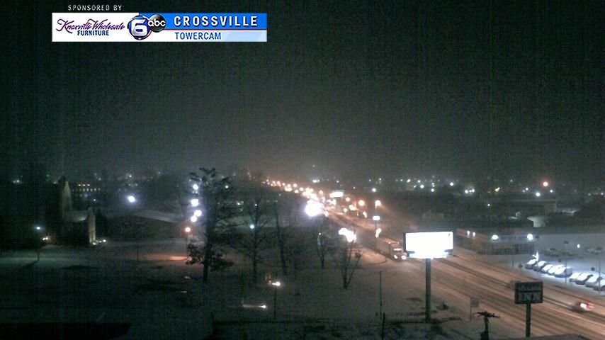
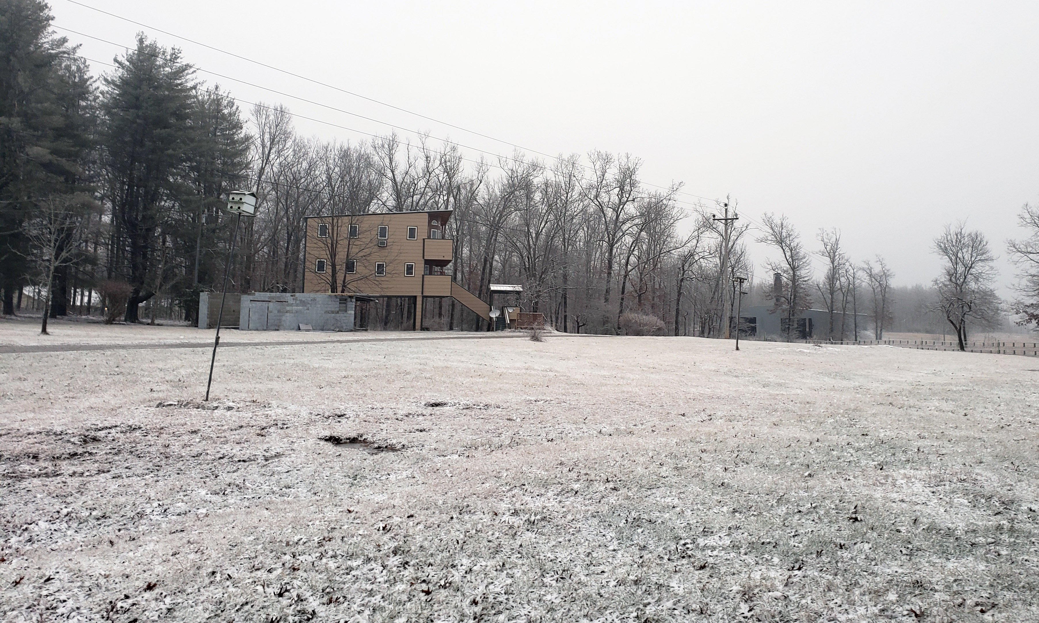
This has been a weird event for Cumberland County (Crossville area)
What I've heard is
Generally 1-3 inches on the west end of the county
Only 1/4 inch or so in the north end
Up to 4 inches in the south end of the county
This is the opposite of most storms that hit here as usually the south end gets less snow. Wild system for sure
-
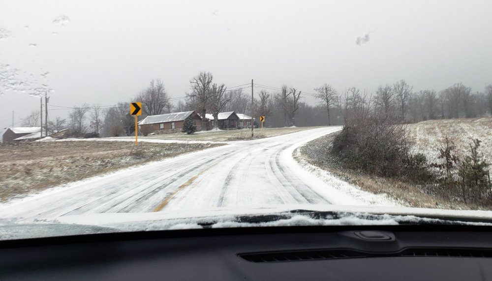
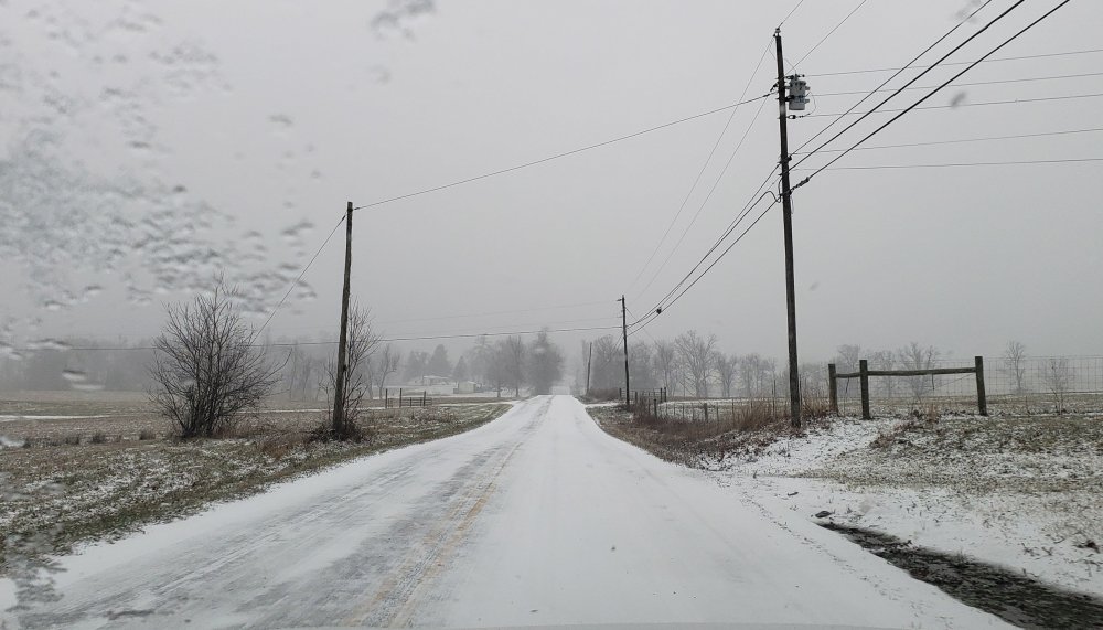
Main roads in Crossville look like they're turning white now
-
 2
2
-
 1
1
-
-
12 minutes ago, John1122 said:
Looking at radar returns in Western Cumberland, I figured you'd have 3 inches or more.
Yeah idk, it seems like we get more snow when there is nothing picking up on radar than when it shows us getting clobbered lol.
-
 1
1
-
-
We don't have a ton of snow in Crossville, but most of what is on the ground has fallen after dark, so hopefully that means there's still plenty more coming for the rest of you tonight to the east.
-
2
-
-
14 minutes ago, TellicoWx said:
Noticed some of the PWS around Crossville ranging from 30-32
Sent from my SM-S767VL using Tapatalk
Yes we are at 30 now between Crossville and Monterey. This was after about 20 minutes. Not sure how much more is coming though

-
4
-
-
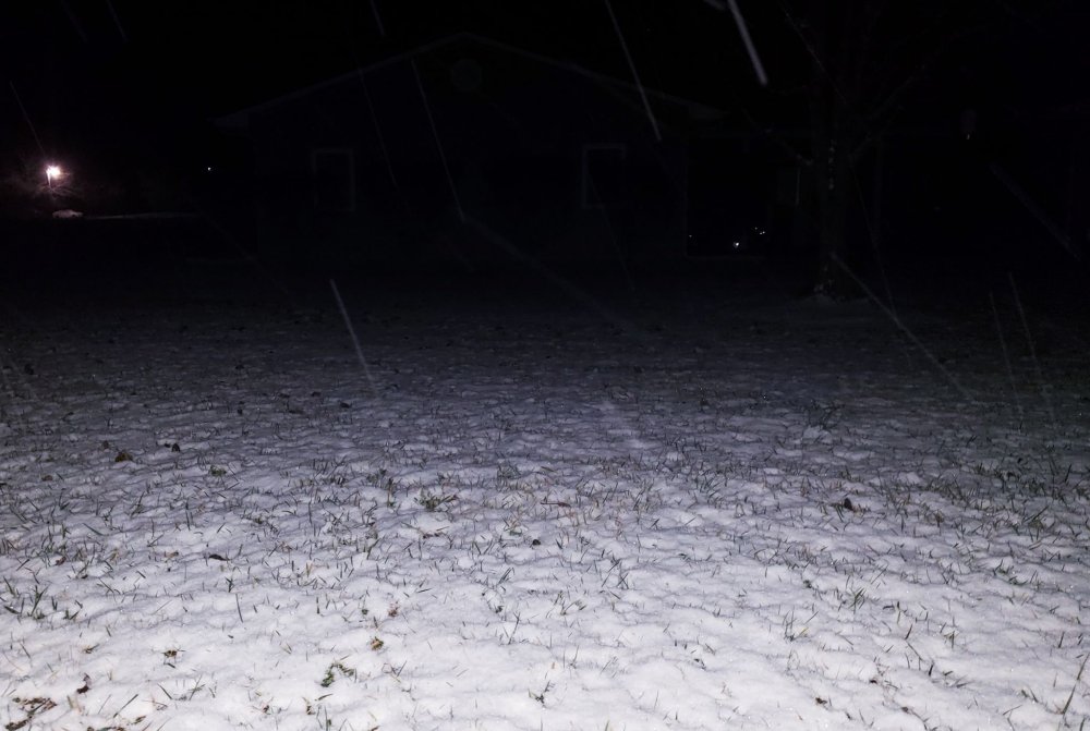
Snowing pretty hard here now with big flakes and starting to stick
-
6
-
-
Was sleet in Crossville for about 30 minutes, now snowing. School dismissing at 1130ct
-
4
-
1
-
-
17 hours ago, PowellVolz said:
That’s a nice spot to live
.For sure! I like living here. I'd say snow wise, 99% of the time we get noticeably more snow than Crossville (especially in these type of clipper systems. They can get more than us in east coast systems that have sharp cut offs though), and probably a little less snow or the same as Monterey does generally.
The crazy thing to me is how significant the snow line usually is between Monterey and Cookeville ~10 miles away from each other. Cookeville and other non-Plateau school children in Putnam County benefit a lot from being in the same school district as Monterey in the winter
 .
.
-
3
-
-
2 hours ago, PowellVolz said:
QuoteWhere are you at? Beautiful picture
Thanks! I am between Crossville and Monterey off I-40. A little closer to Crossville though and am in Cumberland County and have a Crossville address.
-
2
-
-
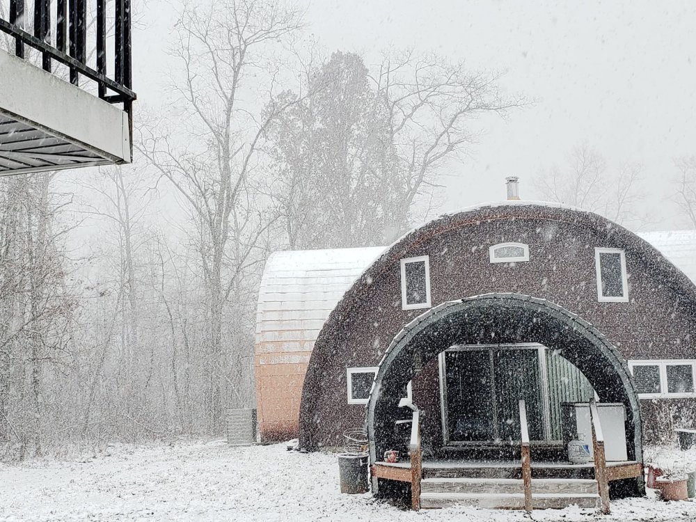
We actually have a pretty good snow shower going through now. These types of systems always seem to perform well in my area. I know the system in early November showed no snow on the radar within a couple hundred miles of us after the system had passed, but it ended up snowing all day. This system doesn't seem to be picking up on the radar currently either but is snowing pretty heavily
-
9
-
1
-
-
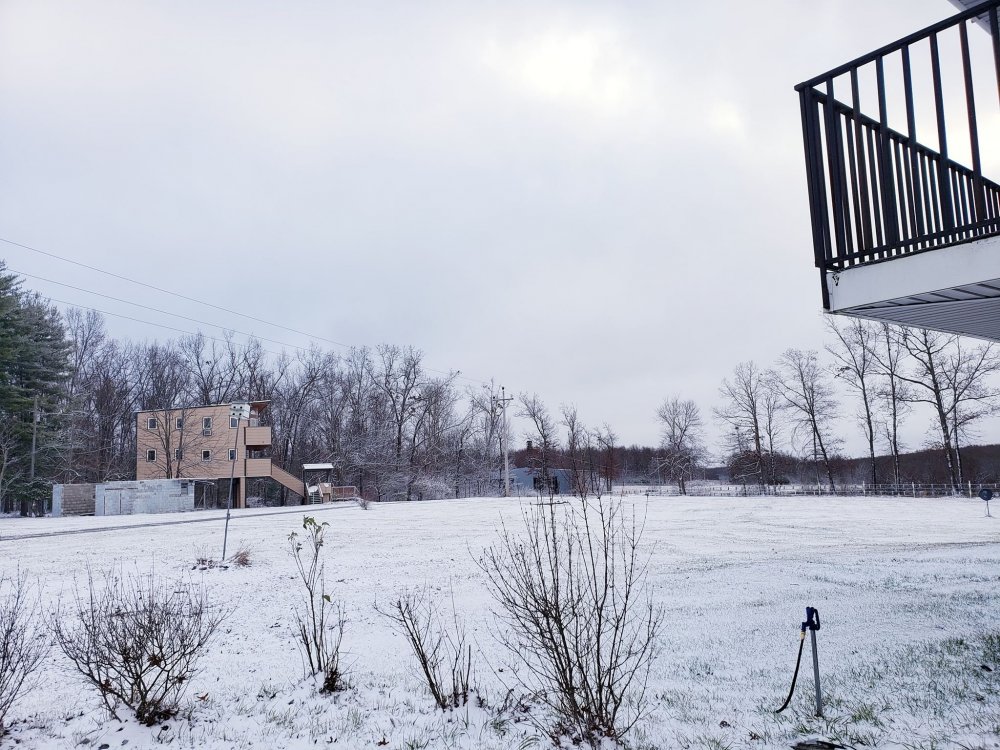
We ended up with an inch or so in my area of Crossville. Off and on snow showers expected the rest of the day but probably not anymore accumulation
-
5
-
-
-
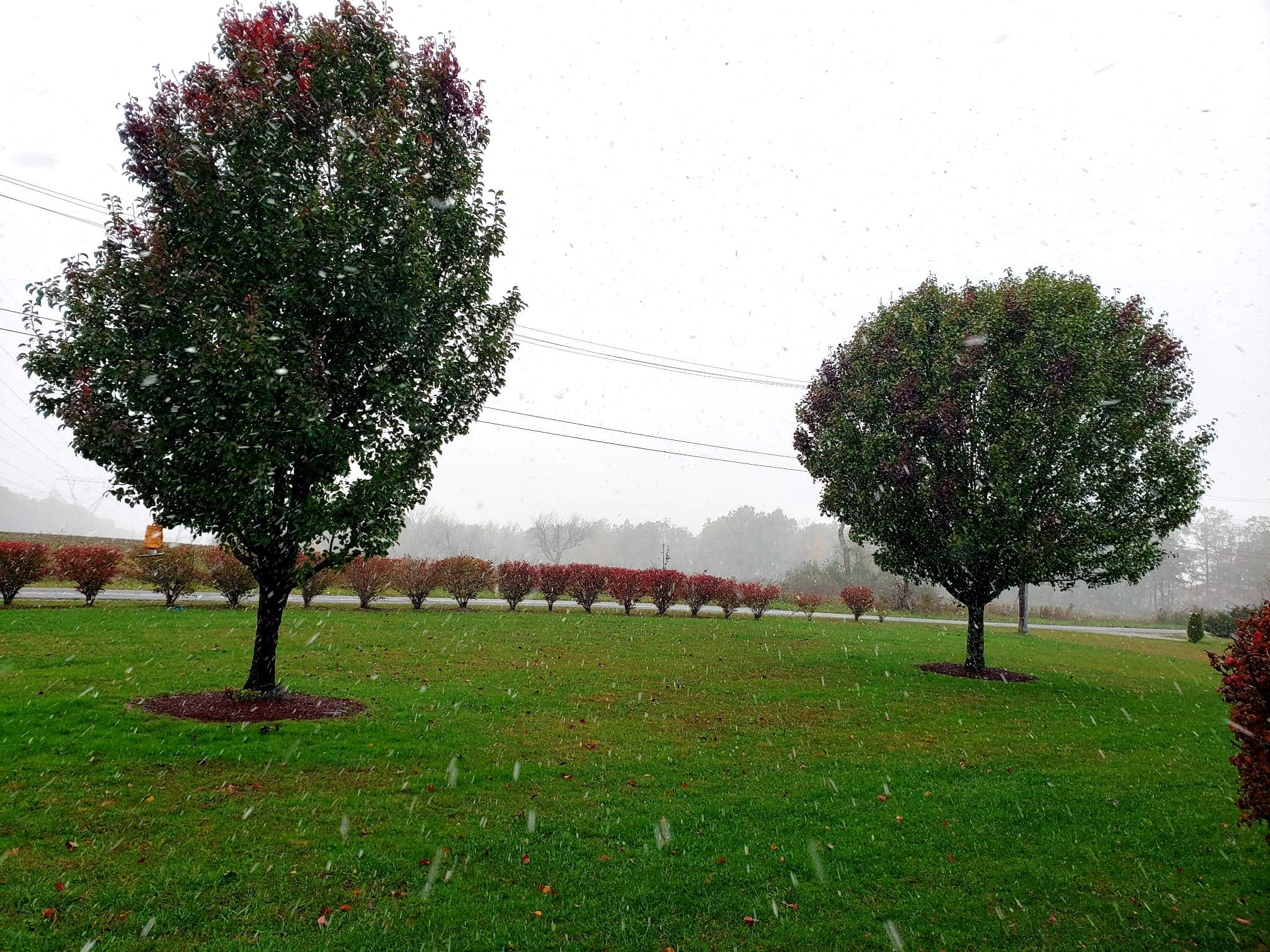
We had a nice snow shower in Crossville this afternoon. 2nd time in 5 years it has snowed on Halloween although it didn't really stick this time.
Video: https://streamable.com/tx01q
-
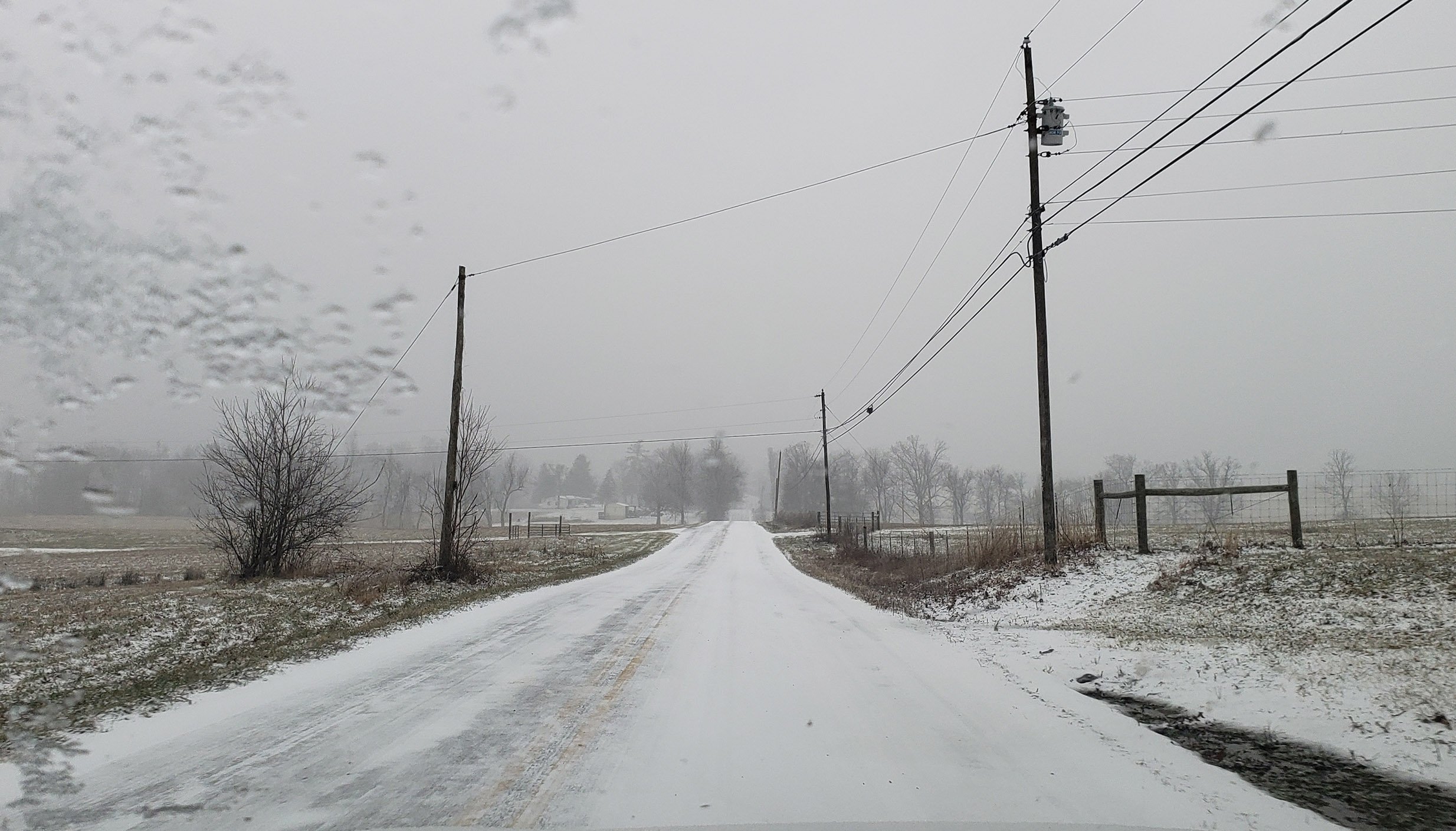
I had to travel to Fentress County this morning around 9am and seeing the main road by my house covered in snow made me even more surprised that they had school in Cumberland County today, let alone on time. It was really slick with ice under a lot of the snow from all the rain yesterday. I was very surprised they didn't cancel after driving in it.
-
5
-
2
-
-
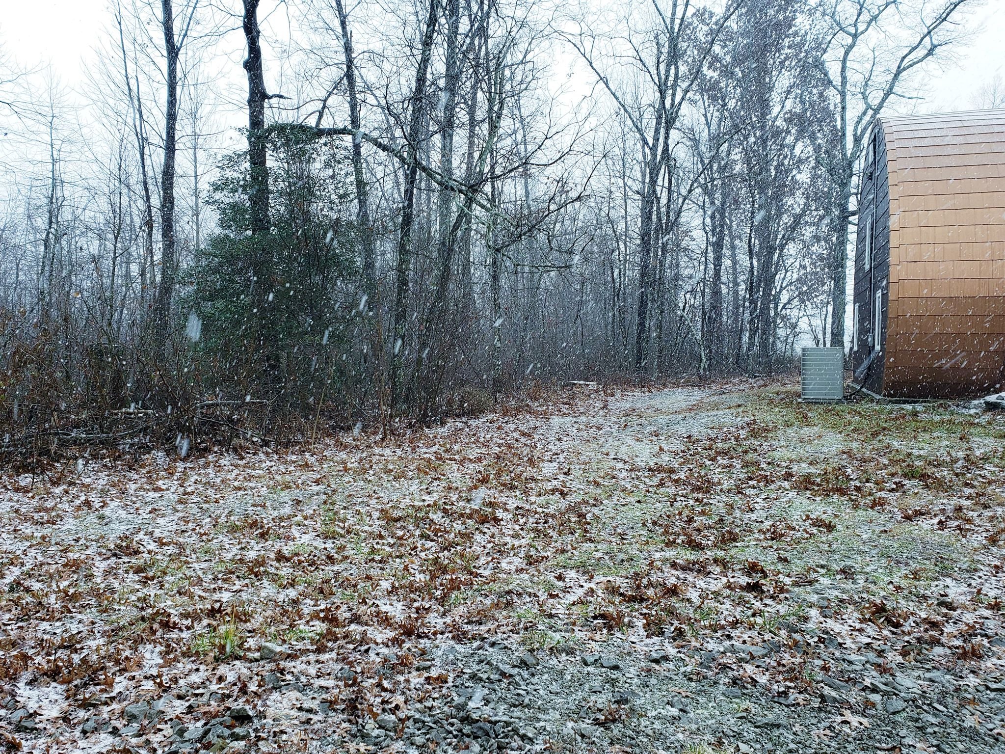
This is Crossville this morning. A bit icy too. They actually had school open and on time here but all the areas around were closed or delayed. I noticed they've been getting stricter on closing schools here
-
3
-
1
-
-
With the heavy precipitation rates moving in to the Cumberland Plateau, is there any chance we could see some dynamic cooling overnight resulting in an unexpected changeover to snow?
-
1 minute ago, BlunderStorm said:
TWC has been extremely dismissive east of the Blue Ridge. I'm not sure what model they were using this morning but they only gave Johnson City 0.5 inches of snow for the entirety of the event. Which at this point I think is laughable. So you may be in for more than you think but I can't say for sure everywhere varies.
Yeah that's pretty crazy. Early in the week they were showing decent amounts but in the last couple days they went to giving us all rain for the entire event and haven't really backed off that. Even the NWS gives us a solid chance at snow, but minimal amounts. From all the models I've seen though, they're showing considerably more snow for us than any of the forecast stations are.
Either way it's good to know that we've actually gotten SOME snow out of it already even when it wasn't supposed to. Maybe gives the people east of us some more hope that it actually will snow lol.
-
1
-
1
-
-
We had some snow early this morning in Crossville. There hasn't been heavy precipitation all day though. It then started snowing again around noon today even with temperatures at 35 degrees. Interesting to see if we get anymore though. TWC insists on all rain the rest of the night with over an inch of rainfall, with snow eventually moving in tomorrow night. Would be nice to get a decent snow though.
I was surprised to see it snowing with air temperatures at 35 though, since we were supposed to be all rain today.
-
4
-
2
-


Andre Michaux Feb 1796 analogue Storm
in Tennessee Valley
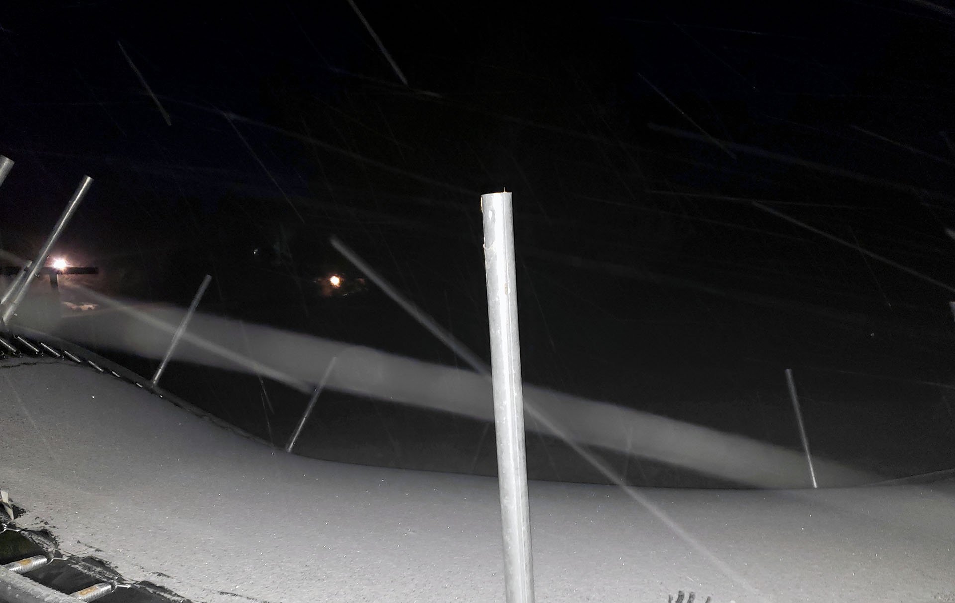
Posted
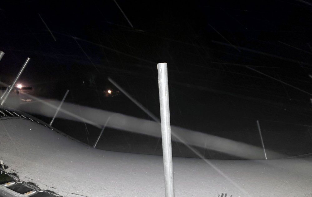
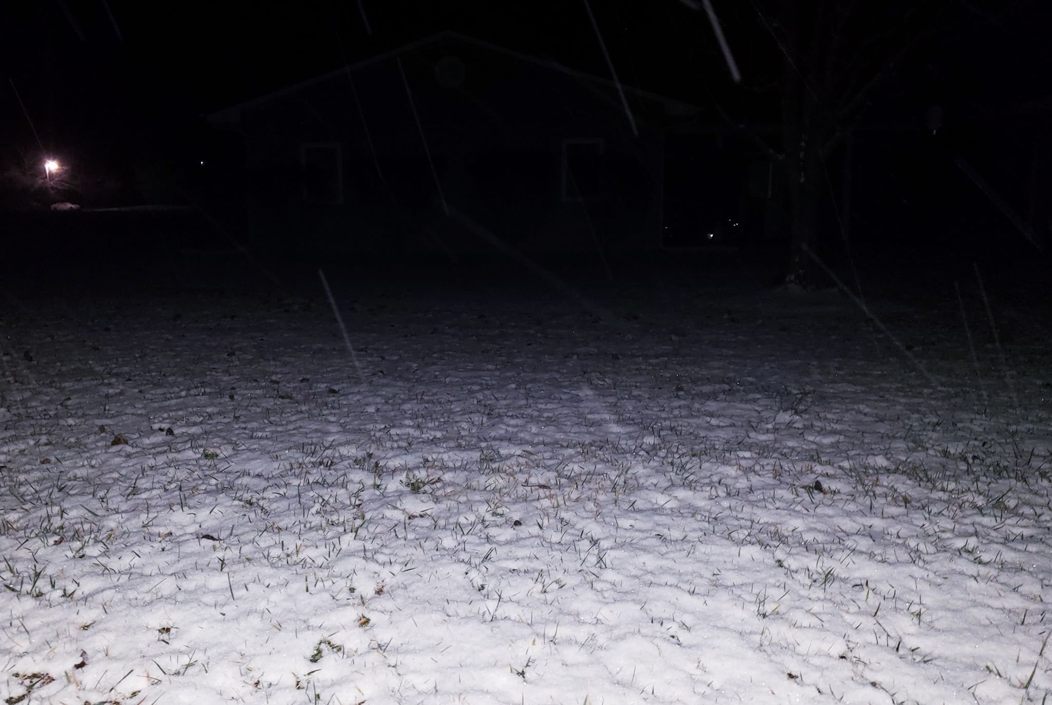
Obviously it's dark, but looks like a very pretty snow and much more than I expected here in Crossville. When I went to bed the radar looked pretty weak