

Shocker0
-
Posts
584 -
Joined
-
Last visited
Content Type
Profiles
Blogs
Forums
American Weather
Media Demo
Store
Gallery
Posts posted by Shocker0
-
-
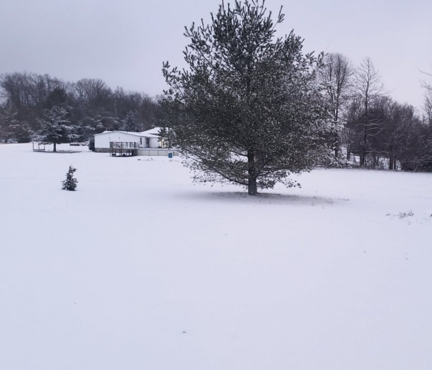
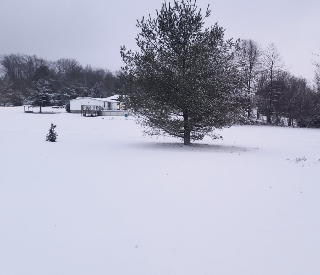
Exceeded my expectations here between Crossville and Monterey for sure. We were on the edge of just getting a dusting according to most models, so it did overperform here. Pretty snow though, im surprised this one didn't stick to the trees more.
-
 7
7
-
-
Heavier snow since I posted that picture 20 minutes ago so it's adding up pretty quickly
-
6
-
-
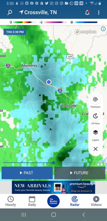
Whatever model(s) seemed to show decent accumulation in southern middle Tennessee seems to be the winner so far. Seems like a swath from Columbia eastward got accumulation
-
31 at my house between Monterey and Crossville. Still seems to be coming down pretty good. I wasn't expecting it to snow this much already so hopefully it'll keep up as it moves east. Temperatures are supposed to stay hovering around freezing all night but hopefully it won't melt much.
-
4
-
-
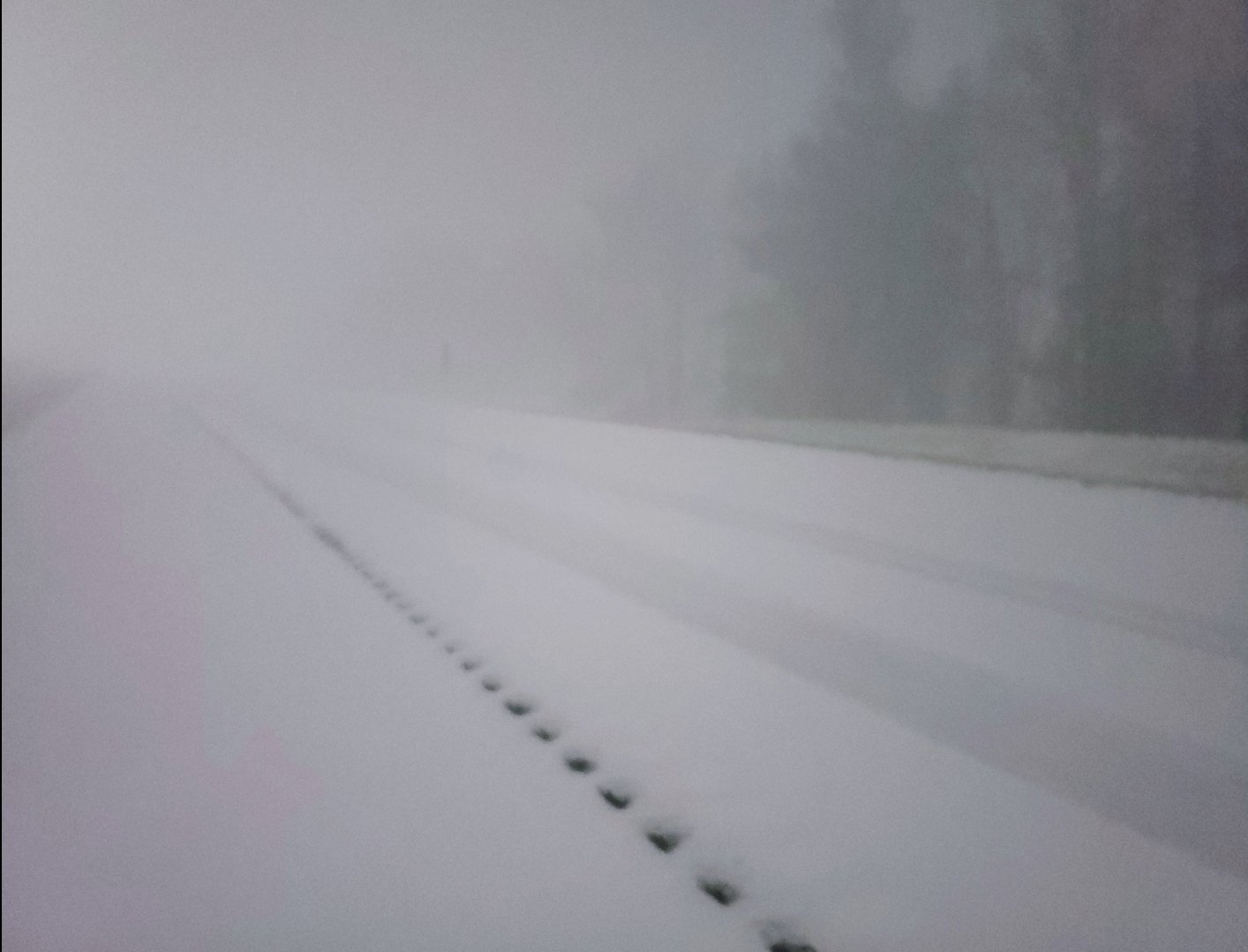
Heavy snow and big flakes between Crossville and Monterey here. Turning white quickly.
TWC showed a cold rain for us for the first few hours but it has been all snow so I figure it should stay that way.
-
4
-
-
Mustve had some heavy virga over me earlier
-
2
-
-
1 hour ago, John1122 said:
No worries at all my friend. That was a rain to snow event with 3-5 inches around the area at least along the border counties. I worked in West Knoxville at the time. Heavy rain there transitioned to rain/snow mix around Clinton exit, all snow around Lake City exit and a heavy paste job from just south of Caryville and points north here. Looks like Oneida, Tazewell, and TRI all had similar amounts. Knoxville only had a trace of snow at TYS but about ,70 rain.
Good article about this event here: https://www.weather.gov/hun/hunsur_2004-02-15
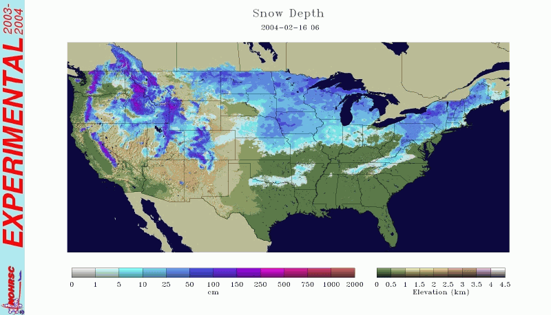
I have a good story about that event. I lived just across the border in McCreary County, KY at the time (north of Oneida) and they called for 8-12 inches of snow starting that night. We were going to church south of Oneida that night (it hadn't started snowing yet) and were seeing cars coming northbound with snow plastered on their front bumpers like they had ran into heavy snow recently, but yet it was completely dry for us. We finally got to the road the church was on and snow just started pouring down harder than I've ever seen. We had to turn around and on the way out several cars were already in the ditch.
By the time we got back home just 20min away it was still completely dry. It never snowed a flake that night at our house despite the 8-12 inches that was forecast. Later on the news we saw where random parts of Morgan County and Crossville area received up to a foot of snow, while we were bone dry. Here's a picture of the snow depth on that day so you can see how finicky the system was.
-
1
-
 1
1
-
-
Took this picture when it was snowing hard in Crossville around 1030 or so

-
2
-
-
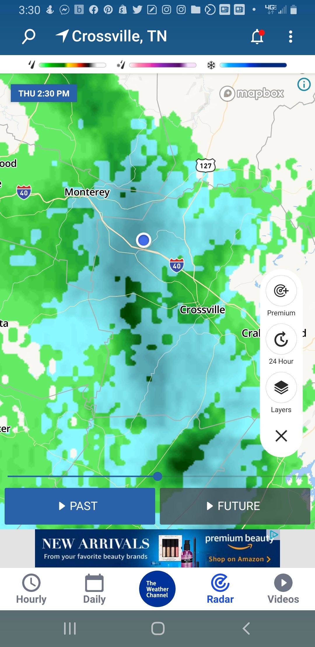
57 minutes ago, ShawnEastTN said:
That appears to be heading my way at least scraping by me, I'm looking forward to that one been watching it since Nashville. What sucks for me is it will disappear from OHX radar soon and there is a hole when it comes to snow like that over Roane northen Rhea and northern Meigs that is hard to see. I need to switch between OHX, MRX, and Hytop to follow snow through my neck of the woods.
Sent from my SM-G965U using Tapatalk
Yeah there is a constant hole any time it snows over my house lol. You have to look outside to see it and I don't have a street light so it's hard to tell sometimes.
-
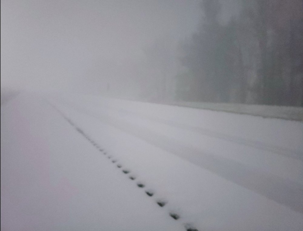
Exit 311 NW of Crossville just now during a heavy snow band. This is I40. Two of these bands went through in the last couple hours taking from a very light dusting to this:
-
11
-
-
1 minute ago, Wintersnow888 said:
Thought it was over here in Cumberland, several bands never reached the ground, but it's accumulating quickly under this one!
Same! It looks like it has reached downtown now as well

-
1
-
-
In Crossville I guess we've gotten lucky with the "streamers" because we went from essentially nothing (light dusting) to over an inch in the last 30 minutes and it looks like we have another good band about to come through in a few minutes. It's turning out not to be too bad of an event here after looking bad all day.
-
7
-
-
5 minutes ago, John1122 said:
It may take until tomorrow, but the HRRR has a little Bulleye in NW Cumberland that picks up close to 4 inches from the streamers.
That's wild lol. Highly unlikely I would say but big flakes coming down right now. At least it will look "white" tomorrow morning. Maybe we will get lucky with the bullseye though

-
4
-
-
30 minutes ago, John1122 said:
Finally down to flurries here. About 3.75 inches. Banding snow West of the Plateau, possibly even on it but Fentress is a radar black hole.
It hadn't hardly snowed at all here today but definitely is now even though the radar isn't picking up on it. We are gonna get a little accumulation from it at least. Not sure if it will move east or just fizzle out but better than nothing here.
-
3
-
-
32 minutes ago, ShawnEastTN said:
Anyone live out in the area of this band? Is it hitting the ground? I assume it'll be the final shut off for me of synoptic snows and transition to snow showers and bands.

Sent from my SM-G965U using Tapatalk
Didn't seem to hit the ground in Cookeville on Webcam but it'll be over me in a few minutes so I'll let you know.
-
25 in Crossville. Surprisingly is snowing decently now but think we are too far west to get much.
-
29 where I live NW of Crossville. Radar doesn't look good and TWC shows no snow here for today now. I doubt we see any flakes where I'm at.
-
System looks to already be out of Crossville (hours earlier than expected) with temperatures still in the 40s. Looks like we will be lucky to even get a flale here.
-
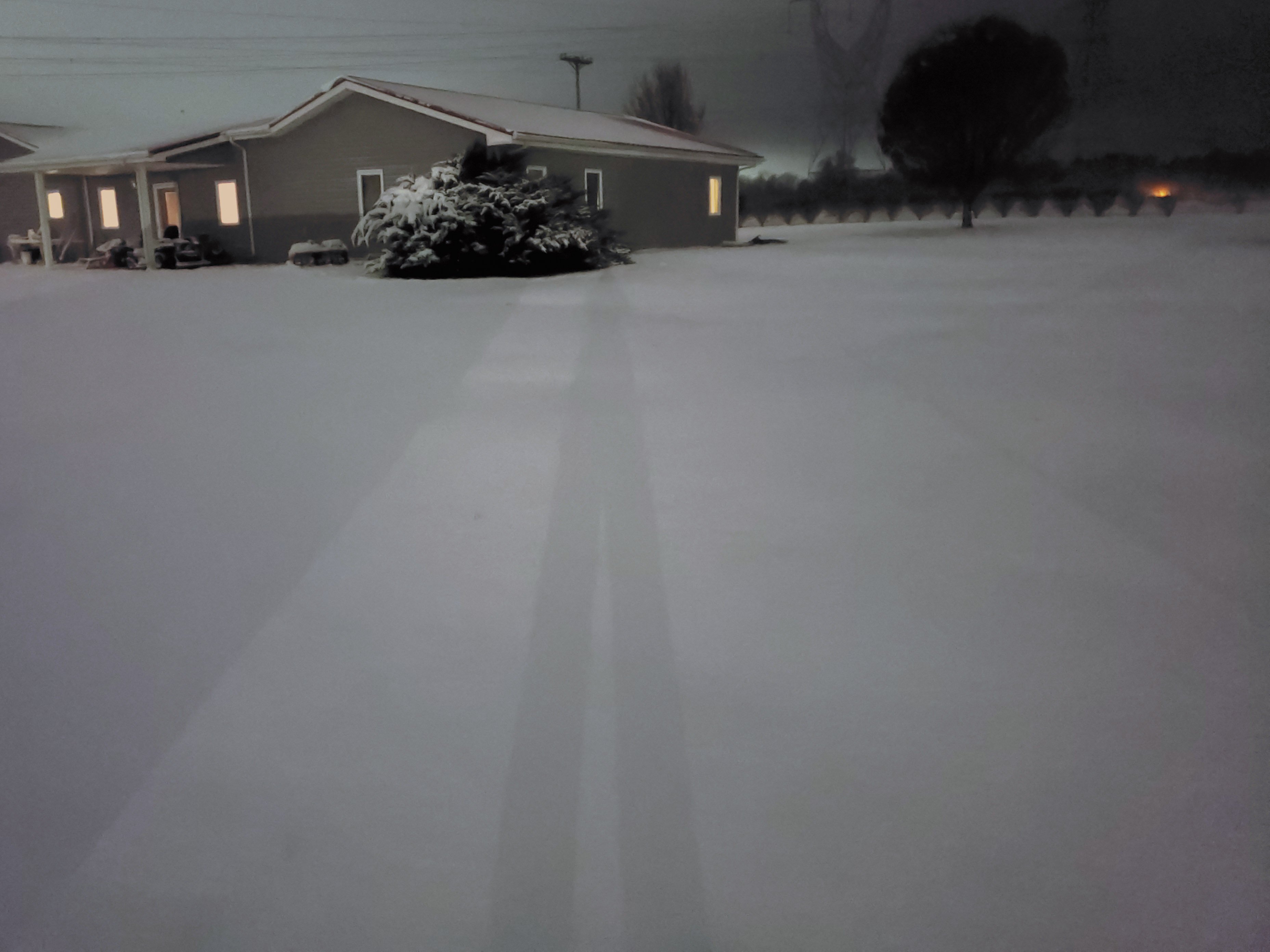
It's mainly stopped here now but is very pretty! Really nice snow for the end of November, don't see much of those anymore.

-
9
-
-
4 minutes ago, Wintersnow888 said:
Snowing harder now than it has all day, temp 26-could that be right? Maybe my thermometer is off a bit
I think I'm right down the road from you and I'm at 27 so I'd say it's right. And it feels about like 5 degrees with how hard the wind is blowing lol.
-
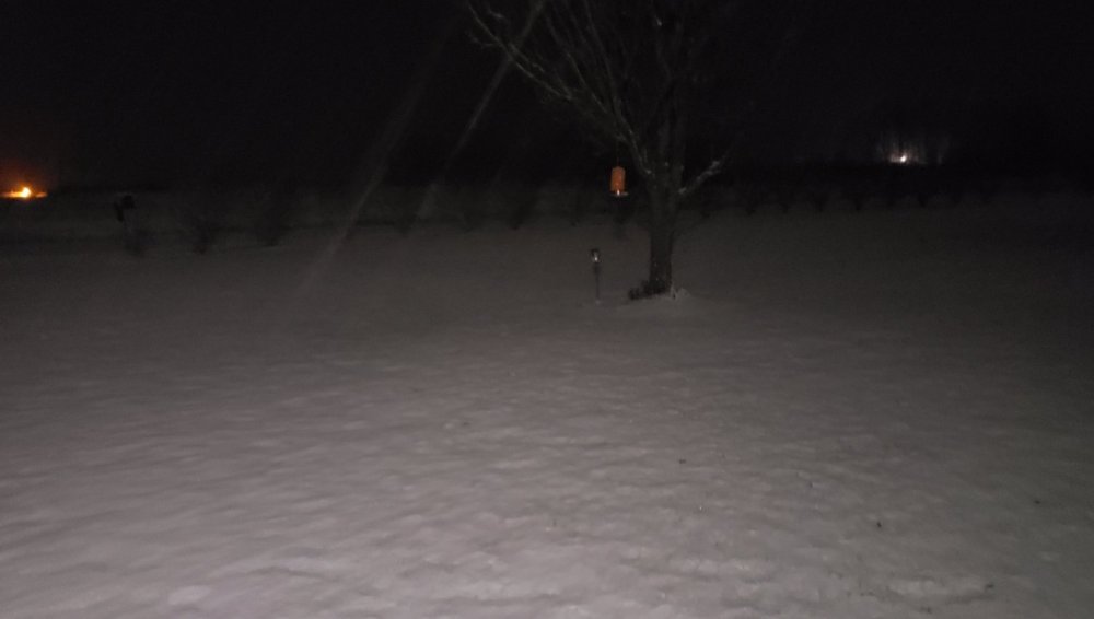
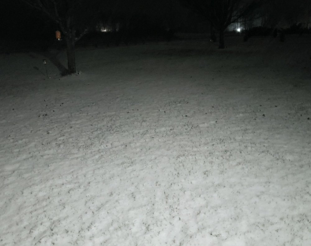
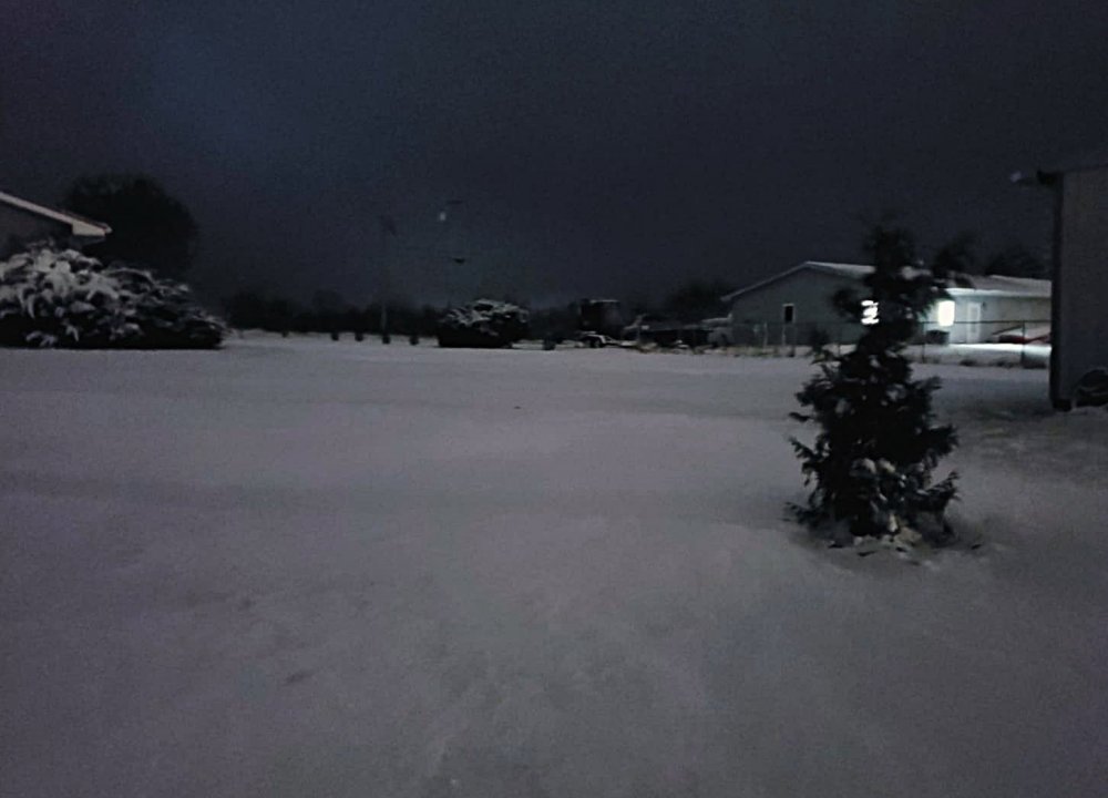
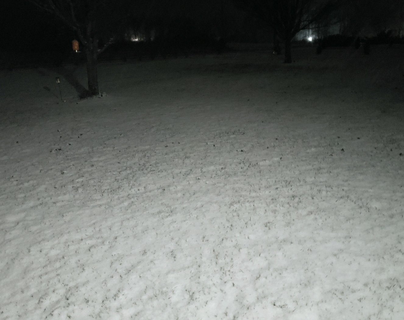
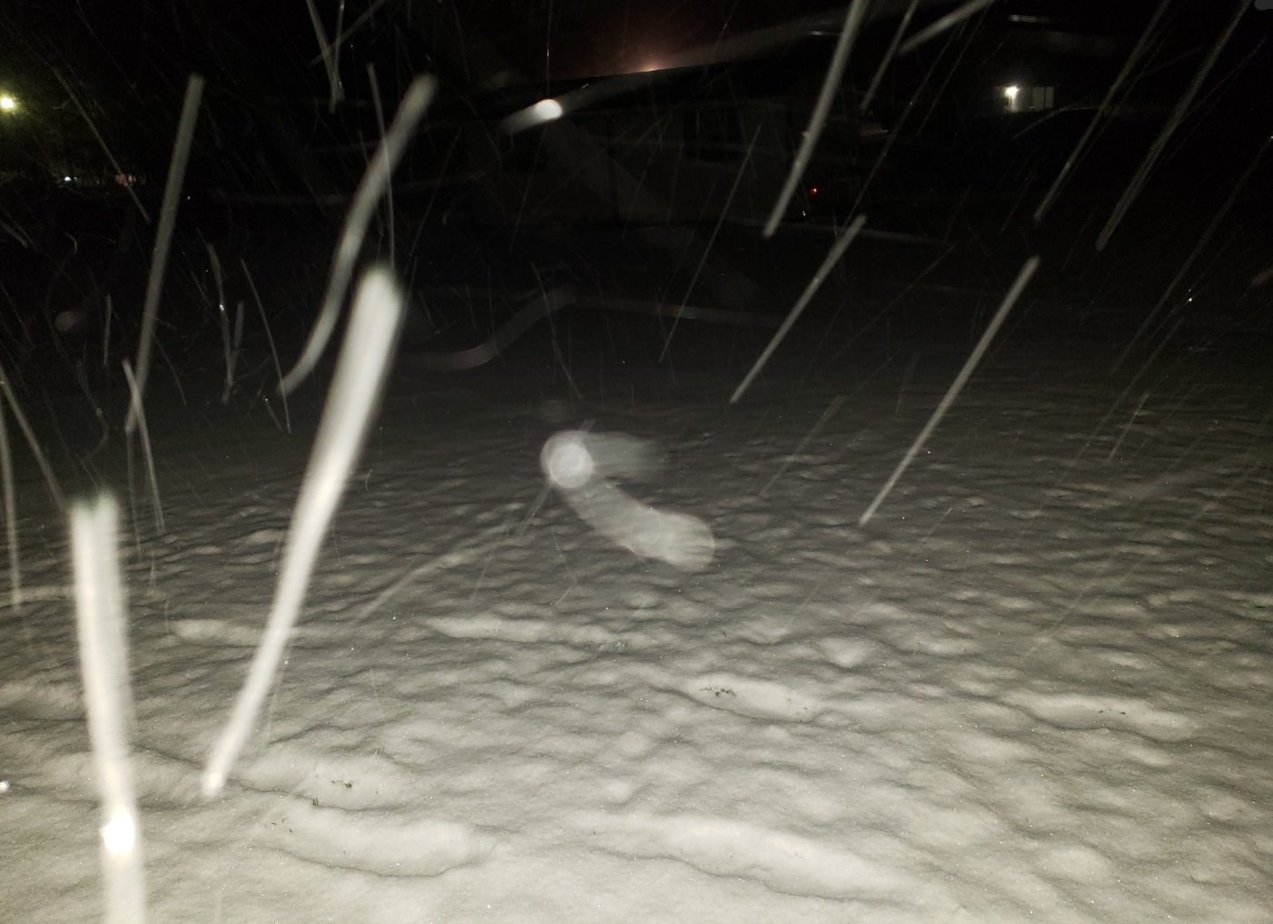
Really starting to add up now that the sun is down NW of Crossville. Can't see but can feel that it's snowing pretty heavy
-
6
-
-
Just now, John1122 said:
Schools closed here already. Probably have a few hours to go with the snow. The low is just creeping along which is helping.
They were in Virtual School here and I made a joke to my daughter that they would be canceling school tomorrow and she said "I know, they already called it off at noon today" LOL. I thought she was joking too but apparently they even cancel Virtual School when it snows.
-
2
-
 1
1
-
-
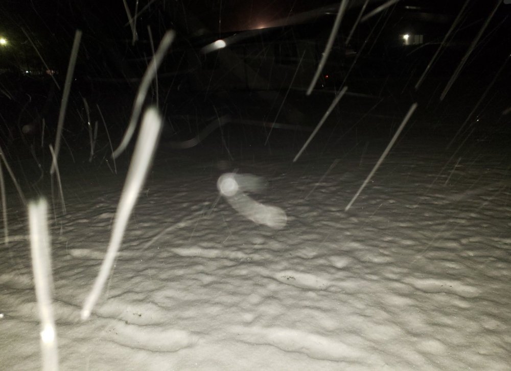
We are at 28 degrees and mannnnn it's freezing cold and windy. Snowing harder than it has all day currently.
-
2
-
-
1 minute ago, John1122 said:
The Plateau eats snow on the radar. It's even worse over Jamestown to Western Campbell.
Yeah I saw a picture from Jamestown and it looked the same as here. But on radar I see a lot of supposed bare spots. I've noticed in bigger snow events (not Alberta Clippers or NW flow events) sometimes it will pick it up a lot better, but in these it definitely looks harder around Nashville to Cookeville on radar.


January 7 - 8 ULL obs and nowcast
in Tennessee Valley
Posted
I drove to my bank in Monterey 10 miles away and they only have a dusting to an inch. Usually they get as much or more than us in some cases. Definitely a finicky system. I drove through the campground beside my house and it's beautiful this morning