Hyphnx
-
Posts
281 -
Joined
-
Last visited
Content Type
Profiles
Blogs
Forums
American Weather
Media Demo
Store
Gallery
Everything posted by Hyphnx
-
GFS has the R/S line further South.
-
We are talking 10 miles south.
-
I'm just south of the city. Expecting tons of ice/mixing in my backyard. Models are starting to come to an agreement that this could be another hit for RIC but DC seeing a good amount, too
-
RGEM puts RIC back in play
-
Should be okay, Sunday morning seems to be the brunt. This isn't good
-
Oh no....

-
Going to be another classic nowcasting storm
-
I remember reading earlier that cold air was not an issue and the long range models have a hard time seeing it. I'm pretty hopeful for 4-6+ in RVA. I wouldn't mind working from home on Monday...
-
It's been so cold, hard to believe it won't be cold enough for an all snow event. But then again, it's not even here, yet
-
New EURO actually has about 4-6" of snow depth in RIC. Seems like an increase to me. Maybe the mixing won't be as bad
-
RIC will be all rain and DC will get dumped on
-
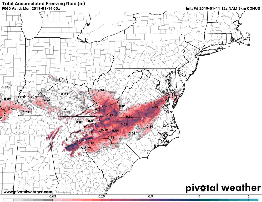
The ice threat seems to be increasing
-
That ice threat...
-
So RIC is 10"?
-
Correct. When looking at the dew points for RIC I was almost in denial that mixing would occur. I still think it should be an all snow event.
-
From LWX: Forecast Discussion An upper-level trough will eject out of the southwest overnight Friday night into Saturday. An area of surface low pressure will form over Texas in response to this upper-level feature, and move into the southeastern U.S by Saturday night. Ahead of the main surface low pressure system moving across the southeast, another weak area of upper-level energy will be moving across our area Saturday afternoon into Saturday night, which will provide some extra lift ahead of the main system. At the same time, a strong surface high will funnel cold air in from the north, while southwesterly flow above the surface overruns the wedge of cold air. This combination of moisture and enhanced lift will result in a period of snow starting late Saturday morning, continuing into Saturday night. Snow associated with the main surface low looks to move in early Sunday morning and continue throughout the day on Sunday. On Sunday, the primary surface low pressure system will slide by to our south through the Carolinas. The precipitation from this system will stretch northward and affect areas as far north Pennsylvania. Temperatures will be plenty cold enough for snow for the entire duration of this system, so precipitation types will not be an issue. Latest runs of the operational Euro and NAM are in fairly good agreement that the low will move off the coast around Cape Hatteras, while the operational GFS took a slightly more southern track. However, GEFS and EPS ensembles seem to be in fairly good agreement that more closely resembles that of the operational Euro and NAM. While some uncertainty remains in terms of the exact track, it seems as though most guidance is in decent agreement.
-
I'll take it, hope the temp warrants all snow and not this stupid mixing
-
Last storm we got 12" that was in December.
-
So far it's North
- 1,839 replies
-
- 1
-

-
- we just jinxed it
- helluvaway to run a torch
- (and 1 more)
-
Okay... we don't need that much in RVA. I want my 18 month old to have fun and not vanish like last time
-
NAM looks good! But it is.. the NAM
-
Praying for temps to hold below. Dew point looks to be about 27
-
I believe so
-
FV3 is running now. Barely. Might get the 18z GFS before the 12z FV3
-
I'm pretty sure the short range have a better grasp on temperature so those totals could go back up.