

Chicago Storm
-
Posts
19,232 -
Joined
-
Last visited
Content Type
Profiles
Blogs
Forums
American Weather
Media Demo
Store
Gallery
Everything posted by Chicago Storm
-
The only one that has a shot to me is Wednesday’s record high, which as you mention is “only” 95°.
-

2022 Short/Medium Range Severe Weather Discussion
Chicago Storm replied to Chicago Storm's topic in Lakes/Ohio Valley
Prior to today I would have said it would be dry, but more recent guidance is trying to resolve an MCV that originates from Front Range convection on Sunday. This MCV then moves east and rounds the ridge into the area for Monday. That solution is likely the only way we see much of anything in the area. -
-
Spring 2022 Medium/Long Range Discussion
Chicago Storm replied to Chicago Storm's topic in Lakes/Ohio Valley
the deed has been done. -
Spring/Summer 2022 Complaint/Banter Hangout
Chicago Storm replied to IWXwx's topic in Lakes/Ohio Valley
I helped guide a storm chasing tour back on May 8-16th. Here's a few of the better shots from the trip...- 408 replies
-
- 12
-

-

-
Catching up on things, here's the 90°+ tally so far this year... 6 - MDW 5 - RFD 4 - Current Home 4 - Ex-Home 2 - ORD
-
Spring 2022 Medium/Long Range Discussion
Chicago Storm replied to Chicago Storm's topic in Lakes/Ohio Valley
I've been busy with a bunch of trips the past month or so, so I really haven't been around much. It definitely does look to flip to a more summer-like pattern though for the second half of the month, given how things look as of now. As I saw Powerball somewhat recently mention, the more spring-like (mild/lack of severe) pattern we are currently in has been due in large part to a -NAO/+PNA/-AO combo that has been in place, which has lead to persistent troughing across the SE Canada/Midwest/Great Lakes region. While this persistent troughing will stick around this week and next weekend, large scale changes in the pattern are already starting to occur and will continue to occur this week. After next weekend (Weekend of 11/12th) is when the noticeable change will take place across this sub-forum, as we will lose the aforementioned persistent troughing, and ridging attempts to build in. With a fluid situation over the PAC/AK, there is some agreement on another transient trough moving eastward-ish along the Canada/US border. Beyond that, ENS have a large ridge building in across the heart of the country, starting later next week (June 16/17th?), behind the aforementioned transient trough for next week. I'm not sure how ENS or teleconnections have faired since late April since I haven't been around to follow, so we'll see how they handle this pattern change. For now though, there is a large amount of agreement, even in the longer range. -
we can lock in and replace Dec-March with these conditions.
-
Tranquil high temps and precip chances every few days are good, but the addition of warmer night lows and more humidity would do wonders.
-
i bumped it under 30° just for you.
-
paradise is 95°/77°.
-
Spring 2022 Medium/Long Range Discussion
Chicago Storm replied to Chicago Storm's topic in Lakes/Ohio Valley
The CPC is worse than the SPC, and that’s a hard feat to accomplish in the first place. -
2022 Short/Medium Range Severe Weather Discussion
Chicago Storm replied to Chicago Storm's topic in Lakes/Ohio Valley
don’t waste your time, they suck. -
2022 Short/Medium Range Severe Weather Discussion
Chicago Storm replied to Chicago Storm's topic in Lakes/Ohio Valley
They were landspouts. -
That construction is still happening, and will increase quite a bit over the next few years as I-490 is built.
-
That would be a high of 90° there. I’m out of town right now helping guide a storm chasing tour in the Plains, so am not around to enjoy the heat/humidity at home. However, I did experience a transition from mid 70°’s DP’s near OKC earlier in the day on Monday, to a high of 102° Monday afternoon as we traveled through W Oklahoma behind the dry line.
-
2022 Short/Medium Range Severe Weather Discussion
Chicago Storm replied to Chicago Storm's topic in Lakes/Ohio Valley
Such a bad performance. -
Spring 2022 Medium/Long Range Discussion
Chicago Storm replied to Chicago Storm's topic in Lakes/Ohio Valley
There will be several days with severe potential in the Midwest next week. -
Spring 2022 Medium/Long Range Discussion
Chicago Storm replied to Chicago Storm's topic in Lakes/Ohio Valley
well, it would be well above normal. maybe the warm front will stall at the border and you can sit in the 40’s all week instead. -
Spring 2022 Medium/Long Range Discussion
Chicago Storm replied to Chicago Storm's topic in Lakes/Ohio Valley
7 consecutive days of 70’s/80’s around MKE is the new ‘squashed south’. in the words of alek, tth. -
Spring 2022 Medium/Long Range Discussion
Chicago Storm replied to Chicago Storm's topic in Lakes/Ohio Valley
how’s that working for you now? that’s why it’s ENS>OP at this range for overall pattern recognition. -
Spring 2022 Medium/Long Range Discussion
Chicago Storm replied to Chicago Storm's topic in Lakes/Ohio Valley
As was expected, the cool/active Midwest/Great Lakes/Northeast troughing pattern has continued into the first week of May. The good news is...As several have recently alluded to we will be seeing another pattern flip coming up, and a significant one at that. This upcoming pattern will feature the best and most sustained spring conditions most have seen so far this year (I know that's not saying much). This new pattern will set in this upcoming weekend, continuing through next week, and then quite possibly into the following weekend (May 14/15th) as well. This upcoming pattern will be dominated by a -PNA/Western US trough, an Eastern Canada/Eastern US mean ridge, and a +NAO/Greenland area troughing. This pattern will support overall mild/warm temps for most and an active/stormy period as well.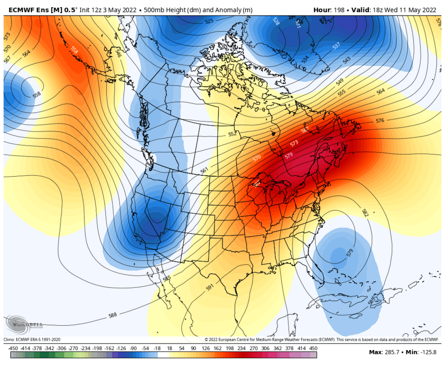
-
There's some lake enhanced rain in NE IL currently.
-
Spring 2022 Medium/Long Range Discussion
Chicago Storm replied to Chicago Storm's topic in Lakes/Ohio Valley
https://www.ebay.com/itm/154839724066?var=454947912027 -
Spring 2022 Medium/Long Range Discussion
Chicago Storm replied to Chicago Storm's topic in Lakes/Ohio Valley
palms are thriving down here.

