

dj3
-
Posts
634 -
Joined
-
Last visited
Content Type
Profiles
Blogs
Forums
American Weather
Media Demo
Store
Gallery
Everything posted by dj3
-

Western Pa / Pittsburgh area Winter Discussion ❄️☃️
dj3 replied to north pgh's topic in Upstate New York/Pennsylvania
Coming down nicely right now -
Western Pa / Pittsburgh area Winter Discussion ❄️☃️
dj3 replied to north pgh's topic in Upstate New York/Pennsylvania
Yea it’s going to be a different storm than what we’re used to for sure. Just had on Kdka and they mentioned 1-2” per hr rates later this afternoon so we’ll see. -
Western Pa / Pittsburgh area Winter Discussion ❄️☃️
dj3 replied to north pgh's topic in Upstate New York/Pennsylvania
I’d be surprised if the radar doesn’t start filling in quite a bit in the next few hours. Back to some small flakes reaching the ground right now. -
Central PA - Jan 31 to Feb 2 Winter Storm
dj3 replied to MAG5035's topic in Upstate New York/Pennsylvania
Good luck central/Eastern pa peeps! Waking up in Pittsburgh with not much on the ground, we’ll see what happens the rest of the way. -
Western Pa / Pittsburgh area Winter Discussion ❄️☃️
dj3 replied to north pgh's topic in Upstate New York/Pennsylvania
Yea I am surprised I woke up to about 80 flakes on my porch and nothing else. Hopefully the radar fills in, it does look like garbage at the moment. -
Western Pa / Pittsburgh area Winter Discussion ❄️☃️
dj3 replied to north pgh's topic in Upstate New York/Pennsylvania
52 inches lol -
Western Pa / Pittsburgh area Winter Discussion ❄️☃️
dj3 replied to north pgh's topic in Upstate New York/Pennsylvania
Beat me to it haha -
Western Pa / Pittsburgh area Winter Discussion ❄️☃️
dj3 replied to north pgh's topic in Upstate New York/Pennsylvania
Maybe I should stop looking at the HRRR lol.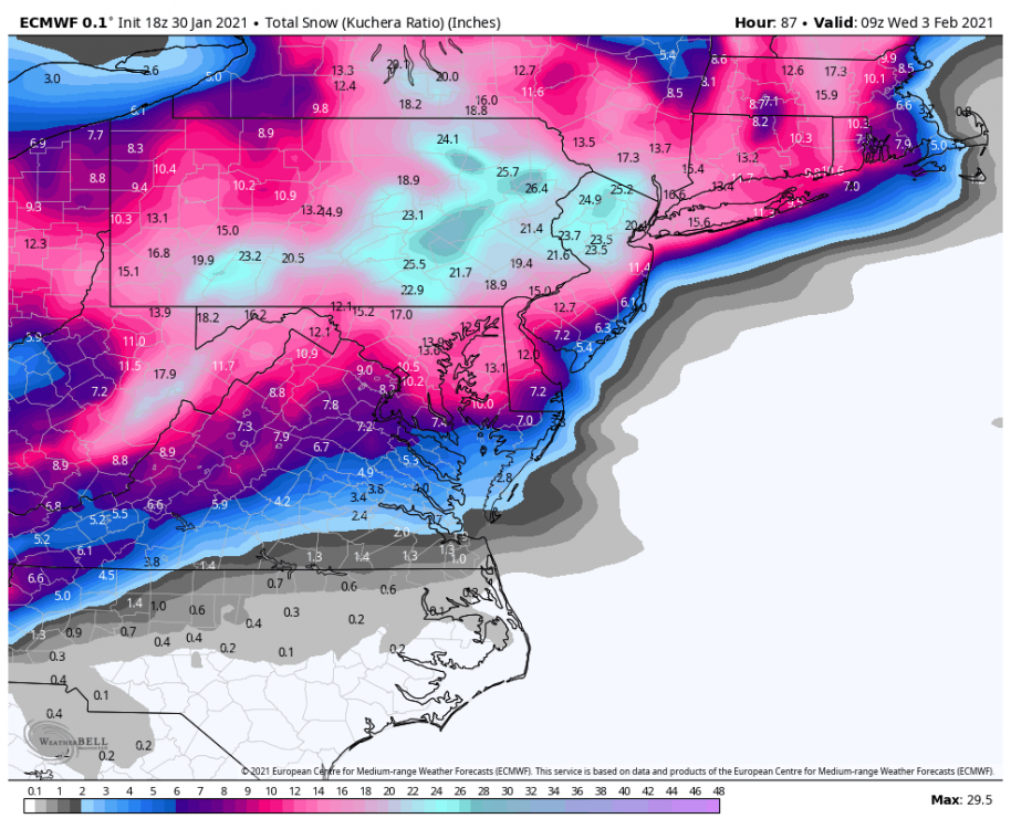
-
Western Pa / Pittsburgh area Winter Discussion ❄️☃️
dj3 replied to north pgh's topic in Upstate New York/Pennsylvania
It seems to go against the theory that we want a stronger primary that holds on longer but like those who are more knowledgeable have been saying it’s walking a fine line with that and mixing. For me at least I’m worried about not getting enough precip thrown our way -
Western Pa / Pittsburgh area Winter Discussion ❄️☃️
dj3 replied to north pgh's topic in Upstate New York/Pennsylvania
Looks like the initial slug is trending south on the HRRR. -
Western Pa / Pittsburgh area Winter Discussion ❄️☃️
dj3 replied to north pgh's topic in Upstate New York/Pennsylvania
Wow that looks really good. I’m more concerned with a dryslot vs the temperatures for my backyard. The gfs has been consistently too warm and has been slowly trending back towards other guidance for the last several runs. -
Western Pa / Pittsburgh area Winter Discussion ❄️☃️
dj3 replied to north pgh's topic in Upstate New York/Pennsylvania
Looking good -
Western Pa / Pittsburgh area Winter Discussion ❄️☃️
dj3 replied to north pgh's topic in Upstate New York/Pennsylvania
Slowly moving in the right direction though. I think earlier today it wasn’t showing much at all. It seems as if guidance is honing in on 4 inches or so as the low end. -
Western Pa / Pittsburgh area Winter Discussion ❄️☃️
dj3 replied to north pgh's topic in Upstate New York/Pennsylvania
Gfs caving with temps -
Western Pa / Pittsburgh area Winter Discussion ❄️☃️
dj3 replied to north pgh's topic in Upstate New York/Pennsylvania
Looks like the bleeding stopped for now at least. Id take that and run -
Western Pa / Pittsburgh area Winter Discussion ❄️☃️
dj3 replied to north pgh's topic in Upstate New York/Pennsylvania
Primary looks like it is dying in a good spot on the 12z Euro, this should be decent. -
Western Pa / Pittsburgh area Winter Discussion ❄️☃️
dj3 replied to north pgh's topic in Upstate New York/Pennsylvania
As depicted it sucks but I think it is taking a step towards the euro has far as the coastal being tucked in. We need it to be wrong on the warmth it brings with the primary though for sure. It is the most bullish on precip for sure. -
Western Pa / Pittsburgh area Winter Discussion ❄️☃️
dj3 replied to north pgh's topic in Upstate New York/Pennsylvania
Euro hits us with the initial WAA and pulls the coastal low inland after transferring. Pretty much everything we needed to happen, now the question is how realistic would that be? Great overnight trends either way though. -
Western Pa / Pittsburgh area Winter Discussion ❄️☃️
dj3 replied to north pgh's topic in Upstate New York/Pennsylvania
I agree, nice to see everything coming on board for at least a few inches. -
Western Pa / Pittsburgh area Winter Discussion ❄️☃️
dj3 replied to north pgh's topic in Upstate New York/Pennsylvania
The Euro doesn't give us any front end love from the dying primary like the GFS and GGEM both do. -
Western Pa / Pittsburgh area Winter Discussion ❄️☃️
dj3 replied to north pgh's topic in Upstate New York/Pennsylvania
Much better than the 12z run yesterday at least our donut hole filled in with some dark blue. -
Western Pa / Pittsburgh area Winter Discussion ❄️☃️
dj3 replied to north pgh's topic in Upstate New York/Pennsylvania
GFS and GGEM both looking in the 4-8 inch range which you guys mentioned yesterday. -
Western Pa / Pittsburgh area Winter Discussion ❄️☃️
dj3 replied to north pgh's topic in Upstate New York/Pennsylvania
The EPS shows a decent number of moderate hits but the big potential does seem to be east of us by a good amount. -
Western Pa / Pittsburgh area Winter Discussion ❄️☃️
dj3 replied to north pgh's topic in Upstate New York/Pennsylvania
Primary weakens enough that very little precip makes it to us. Coastal gets cranking early this run but doesn't throw much snow back past south central PA. Looks like a huge hit for DC though on this run. ETA: Actually looks like it crawls slowly up and off the coast so it appears DC-BOS get hit pretty good. Snow map won't be pretty on this for western PA -
Western Pa / Pittsburgh area Winter Discussion ❄️☃️
dj3 replied to north pgh's topic in Upstate New York/Pennsylvania
Quite the messy looking set up on the GFS. I am guessing we want the primary low to be limited in how far north it travels before transferring, while also rooting for the secondary development to be tucked. Probably a good reason miller B's don't often produce big totals here haha.

