

512high
-
Posts
2,562 -
Joined
-
Last visited
Content Type
Profiles
Blogs
Forums
American Weather
Media Demo
Store
Gallery
Posts posted by 512high
-
-
ASH 53F/ 1.44", no brush fires today.
-
 1
1
-
-
53F/ 1.22" since midnight...horrible
-
 1
1
-
-
25F for the low.
-
1
-
-
58F for the high
-
1
-
-
2 minutes ago, CoastalWx said:
How many wheelies has the Pope done already?
Vatican said bed rest! Pope not listening!
-
 2
2
-
-
12 minutes ago, jbenedet said:
Motorcycle is out. First ride of the year planned for tomorrow.
We spring.
Stay on "Main Roads", at least in Nashua...pot holes everywhere, and sand hate to see the pope get road rash! Way too early in my opinion.
-
1
-
-
I will say here last hour meh, but close to 3am moving, usually I'm in a sucker hole for wind , my home Davis hasn't clocked a 31 mph gust in awhile its about 20-22 ft of the ground.
Lets see what the day brings.
-
31 mph at around 3am, current temp 25F/chill @ 21F
-
5 minutes ago, Damage In Tolland said:
It’ll roar , but NW winds don’t do the damage SSE winds do
Nonetheless, stick patrol..
-
1
-
-
16 minutes ago, CoastalWx said:
Bufkit pretty wild tomorrow. Even the NAM which can be conservative has 55-60kts top of boundary layer .
kevin and wiz called it!
-
.72" total unless the stuff from the west coming adds more. Overnight stayed @ 51F.
Still snow on the ground along with piles, and dog shit lol
-
I still think we sneak something.....especially interior areas, last year:
ASH March 23, 2024 , 3/4" snow, then sleet/rain
April 4, 2024, 3" of cement
We just don't know ......
-
30F for the overnight low, shop Davis already @ 36.
-
1
-
-
6F for the low, shop Davis current 9F, glaciers remain stout
-
Like others, front making its way, temp 45/winds getting really busy, sun areas taking a beating, still a lot of glacier piles/shade.
-
1
-
-
15 minutes ago, wx2fish said:
Turning into kind of a shitter up this way. Steady light rain, meh
yes, just passed through Nashua........46F
-
Just flipped back heavy snow, light scrape, salt burning through this.... 33F
-
5 minutes ago, 40/70 Benchmark said:
Phil, what are you confused about?
Wrong emoji ! I am just pissed at all the chances we had early season, not to banter....
-
1
-
-
1 minute ago, CoastalWx said:
At least it looks warm next two of three days. Then useless cold.
Scott, I just do this for keeping track of 'Ice Melt" we use for walkways,(not bulk salt) so come October we can say , well we used 53 bags of ice melt etc.
Last year ASH 32.5" +/- will be the same this year or waiting for the "Hail Mary Pass" lol
-
1
-
-
Just now, 40/70 Benchmark said:
I may have gotten similar...hopefully @Great Snow 1717 can confirm.
Ray I am writing this down in my snow log, so pathetic, just trying to claw up to a ASH minimum , won't achieve that unless several blue ball bombs bail us out......
-
Just "about" 1/2" was heavy for a bit coming down, 32F
-
4 minutes ago, kdxken said:
Not too much of a dent today. Still 6 inches of hard crud. High of 54° and still 44 now. It's got to do some damage.

Agree, my shady areas, still pretty solid, but areas in sun, starting to take a hit, and with temps today, saving on heat bill a bit, still hoping for a grand finale!
-
1
-
-
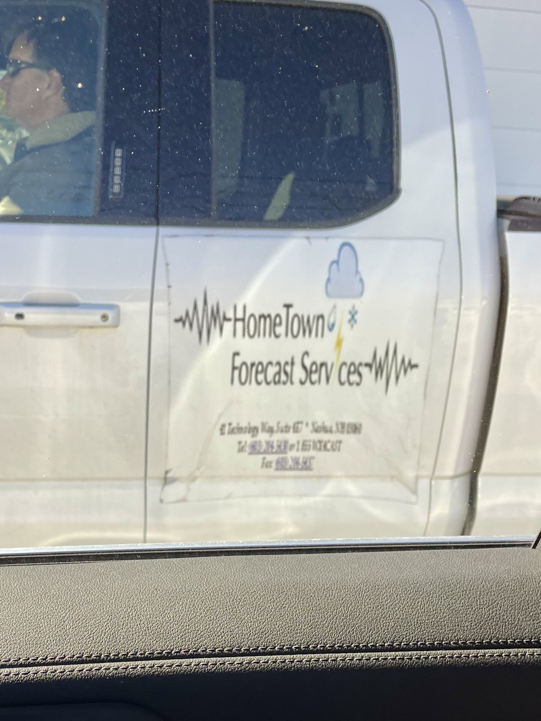
Look what I spotted leaving my work location today!
A weenie!!!!! lol
I tried to get the best picture possible. I wonder if he’s on this Forum lol!!!

-
3
-
-
4 minutes ago, 40/70 Benchmark said:
I'm developing some chinks in the armor here in my mid 40s.....left shoulder is a bit iffy, as I had a small tear in the rorator cuff a couple of years ago that I just let heal....now I'm starting to get some "areas" in my knees....nothing severe, but enough to that I am a bit conscious of certain movements these days. Doesn't affect my squat or anything yet, since I wrap my knees.
None of this impairs my heavy lifts yet.
Back is still perfect, save for some occasional, mild inflamation down low.
Word of advice, for chest, and bad shoulders stay AWAY from flat/incline barbell press, Go with dumbells instead, thank me later.......
-
4
-
2024-2025 New England Snow
in New England
Posted
NASHUA, NH YEAR TO DATE 35.25" (SORRY CAPS STUCK!)