

Lowershoresadness
-
Posts
1,283 -
Joined
-
Last visited
Content Type
Profiles
Blogs
Forums
American Weather
Media Demo
Store
Gallery
Posts posted by Lowershoresadness
-
-
Bueller.........................Bueller
-
9 minutes ago, psuhoffman said:
I really hope this doesn’t cross a line. What I am about to say comes from a place of caring and compassion not derision. And while I am not a psychiatrist I am a sociologist and I stayed at a holiday inn express once so consider my suggestion...
Stop worrying about what someone thinks of Ji. Stop worrying about what they think of you. Stop worrying about if it’s going to snow. Stop worrying about defending how you worry. Stop worrying about worrying. Just stop worrying. Find something you enjoy that brings you peace in the moment and do that more. If you have anxiety I seriously suggest you not invest your emotions in something that is unpredictable and you have no control in and is guaranteed to disappoint you 99% of the time! That’s a really bad idea. Do things that give you agency over your emotions. Life’s too short to torture yourself. Plenty of other people will do that for you!I'm worried about this untreated rash
-
lol yeah ok , I'm sure it will go down like that #snowmapsaredumb

-
maybe rain to snow. a few inches could fall.
-
23 minutes ago, CAPE said:
Well we know where the pummeling wont be lol.
yea, I'll go ahead and take the under
-
I had a dream that it snowed 22 inches but I was 80 years old and instead of joy I was annoyed and needed my diaper changed
-
 2
2
-
-
indeed, I've seen way too many "weenie patterns" sh*t the bed down here
-
-
On 12/24/2020 at 11:38 AM, csnavywx said:
Still looking decent for some snow showers tomorrow for S MD and the eastern shore. Eastern shore might even fare a bit better due to some downstream Bay enhancement. 700mb temps drop wayyyy off to around -20C tomorrow with bay temps still running around 8C. Despite not particularly favorable wind fetch angles (except down the Potomac), could still see some enhancement of snow shower activity.
what's Lexington Park's average snow
-
the Cleveland Browns are Mid Atlantic weather
-
2
-
 1
1
-
-
had a dusting on Tilghman island earlier and now have a dusting in the bury
-
2
-
-
just saw a flake.............never mind it was a mosquito
-
5
-
-
4 hours ago, csnavywx said:
Still looking decent for some snow showers tomorrow for S MD and the eastern shore. Eastern shore might even fare a bit better due to some downstream Bay enhancement. 700mb temps drop wayyyy off to around -20C tomorrow with bay temps still running around 8C. Despite not particularly favorable wind fetch angles (except down the Potomac), could still see some enhancement of snow shower activity.
we will take it
-
when you live in an area that see's little snow you appreciate the times it snows just a little bit more. I would never move just to increase snow. I get what I get and I'm at peace with that
-
my snow spidey senses are tingling, you know what that means.............cold rain is coming
-
1
-
-
our time will come gents
-
was it over when the Germans bombed Pearl Harbor?!
-
3
-
1
-
-
I just want a 2 foot blizzard. What's so hard about that? I'm tired of chicken manure out performing snow
-
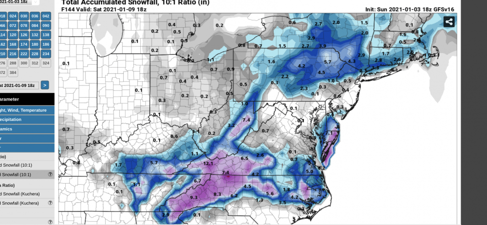
6 minutes ago, WxUSAF said:
If somehow that 10:1 euro snowmap verifies, that sound you'll hear at 2am Thursday is me running naked up and down Route 108.
run around inside. thermals plus pressure drop = shrinkage
-
1
-
-
man someone is going to be in the ultra screw zone for this. Bust potential is feeling higher than normal. I'll be watching from under my 55 degree rain
-
2
-
-
how does one become a rain weenie?
-
15 minutes ago, Prestige Worldwide said:
Very true- hopefully we will get our snow sometime this winter though
hope so brotha, in the meantime we will have to live vicariously through others
-
the good thing is I'm usually out early on these storms. There are no snow maps that will pull me in.
-
4 hours ago, Prestige Worldwide said:
Ugh- models are showing big snows for most of the mid Atlantic. That is all except us.
After 30 years you grow numb to it. I'm sure during the last ice age Salisbury rained
January Banter 2021
in Mid Atlantic
Posted
Never, I repeat never bring this up again