TSSN+
-
Posts
4,814 -
Joined
-
Last visited
Content Type
Profiles
Blogs
Forums
American Weather
Media Demo
Store
Gallery
Everything posted by TSSN+
-

Jan Medium/Long Range Disco 2: Total Obliteration is Coming
TSSN+ replied to Jebman's topic in Mid Atlantic
Ok Euro time to get with it -
Jan Medium/Long Range Disco 2: Total Obliteration is Coming
TSSN+ replied to Jebman's topic in Mid Atlantic
She’s a beaut Clark -
Jan Medium/Long Range Disco 2: Total Obliteration is Coming
TSSN+ replied to Jebman's topic in Mid Atlantic
This run is going to be excellent. Intial wave bringing light to moderate snow, secondary about to go off. -
Jan Medium/Long Range Disco 2: Total Obliteration is Coming
TSSN+ replied to Jebman's topic in Mid Atlantic
As Randy would say… Folks! -
Jan Medium/Long Range Disco 2: Total Obliteration is Coming
TSSN+ replied to Jebman's topic in Mid Atlantic
Ya gfs is about the lay the smack down. Just hope it’s not too amped though. -
Jan Medium/Long Range Disco 2: Total Obliteration is Coming
TSSN+ replied to Jebman's topic in Mid Atlantic
Gfs looks significantly more amped than 0z so far. -
Jan Medium/Long Range Disco 2: Total Obliteration is Coming
TSSN+ replied to Jebman's topic in Mid Atlantic
It shows like a foot for parts of the area. lol Seeing how 0z is was nothing… I’d say so -
Jan Medium/Long Range Disco 2: Total Obliteration is Coming
TSSN+ replied to Jebman's topic in Mid Atlantic
Welp euro back by itself for now. -
Jan Medium/Long Range Disco 2: Total Obliteration is Coming
TSSN+ replied to Jebman's topic in Mid Atlantic
You got about 1hour before the fun police arrive. -
Jan Medium/Long Range Disco 2: Total Obliteration is Coming
TSSN+ replied to Jebman's topic in Mid Atlantic
Consensus, check back in 2/3 days cause we don’t know wtf is going on. -
Jan Medium/Long Range Disco 2: Total Obliteration is Coming
TSSN+ replied to Jebman's topic in Mid Atlantic
-
Jan Medium/Long Range Disco 2: Total Obliteration is Coming
TSSN+ replied to Jebman's topic in Mid Atlantic
Meanwhile cmc is well nw -
Jan Medium/Long Range Disco 2: Total Obliteration is Coming
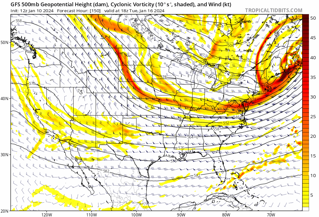
TSSN+ replied to Jebman's topic in Mid Atlantic
Not a weather map you usually see. -
Jan Medium/Long Range Disco 2: Total Obliteration is Coming
TSSN+ replied to Jebman's topic in Mid Atlantic
This hobby is stupid lol -
Jan Medium/Long Range Disco 2: Total Obliteration is Coming
TSSN+ replied to Jebman's topic in Mid Atlantic
Funny how the model flipped lol. Euro was alone with showing snow and now is alone again being south. -
Jan Medium/Long Range Disco 2: Total Obliteration is Coming
TSSN+ replied to Jebman's topic in Mid Atlantic
CMC is good with precip but just a little too warm. -
Jan Medium/Long Range Disco 2: Total Obliteration is Coming
TSSN+ replied to Jebman's topic in Mid Atlantic
If only -
Jan Medium/Long Range Disco 2: Total Obliteration is Coming
TSSN+ replied to Jebman's topic in Mid Atlantic
Do I hear jaws music? -
Jan Medium/Long Range Disco 2: Total Obliteration is Coming
TSSN+ replied to Jebman's topic in Mid Atlantic
Gfs and Canadian have something just just not as exciting as the euro was. It’s getting closer though. -
Jan Medium/Long Range Disco 2: Total Obliteration is Coming
TSSN+ replied to Jebman's topic in Mid Atlantic
Shows some light snow. I’m in lol -
Jan Medium/Long Range Disco 2: Total Obliteration is Coming
TSSN+ replied to Jebman's topic in Mid Atlantic
That looked way better than 18z plus look like added southern stream action. Feel like surface should have looked better. But few more days to go we got time for something good.
-
Jan Medium/Long Range Disco 2: Total Obliteration is Coming
TSSN+ replied to Jebman's topic in Mid Atlantic
Thankfully the icon is the icon and also sucks at thermals -
Jan Medium/Long Range Disco 2: Total Obliteration is Coming
TSSN+ replied to Jebman's topic in Mid Atlantic
The h5 looks prett impressive but surface doesn’t exactly follow. It’s real close. Ok gfs let’s see what ya got. -
Jan Medium/Long Range Disco 2: Total Obliteration is Coming
TSSN+ replied to Jebman's topic in Mid Atlantic
Pretty sure -
Jan Medium/Long Range Disco 2: Total Obliteration is Coming
TSSN+ replied to Jebman's topic in Mid Atlantic
Icon about to bring the hammer.