stormtracker
-
Posts
64,391 -
Joined
-
Last visited
Content Type
Profiles
Blogs
Forums
American Weather
Media Demo
Store
Gallery
Everything posted by stormtracker
-
I was laying in wait.
-
She gone.

-
Pretty sure imma make it to 5. Win
-
But the HRRR tho
-
How we doing?
-
I'm waiting until 4" to get my bump troll on. I think 4 is a lock. Hope we can make a run at 6
-
It's funny how we were worried about too amp'd and now it's south of us. Happened all in 12 hours. Honestly, that's where I'd want it right now.
-
Love to see it
-
He knows my drink is an old man drink...I actually like mint juleps
-
I hate you
-
Damn, nice to see a flip phone pic. What's that, 0.5 MP?
-
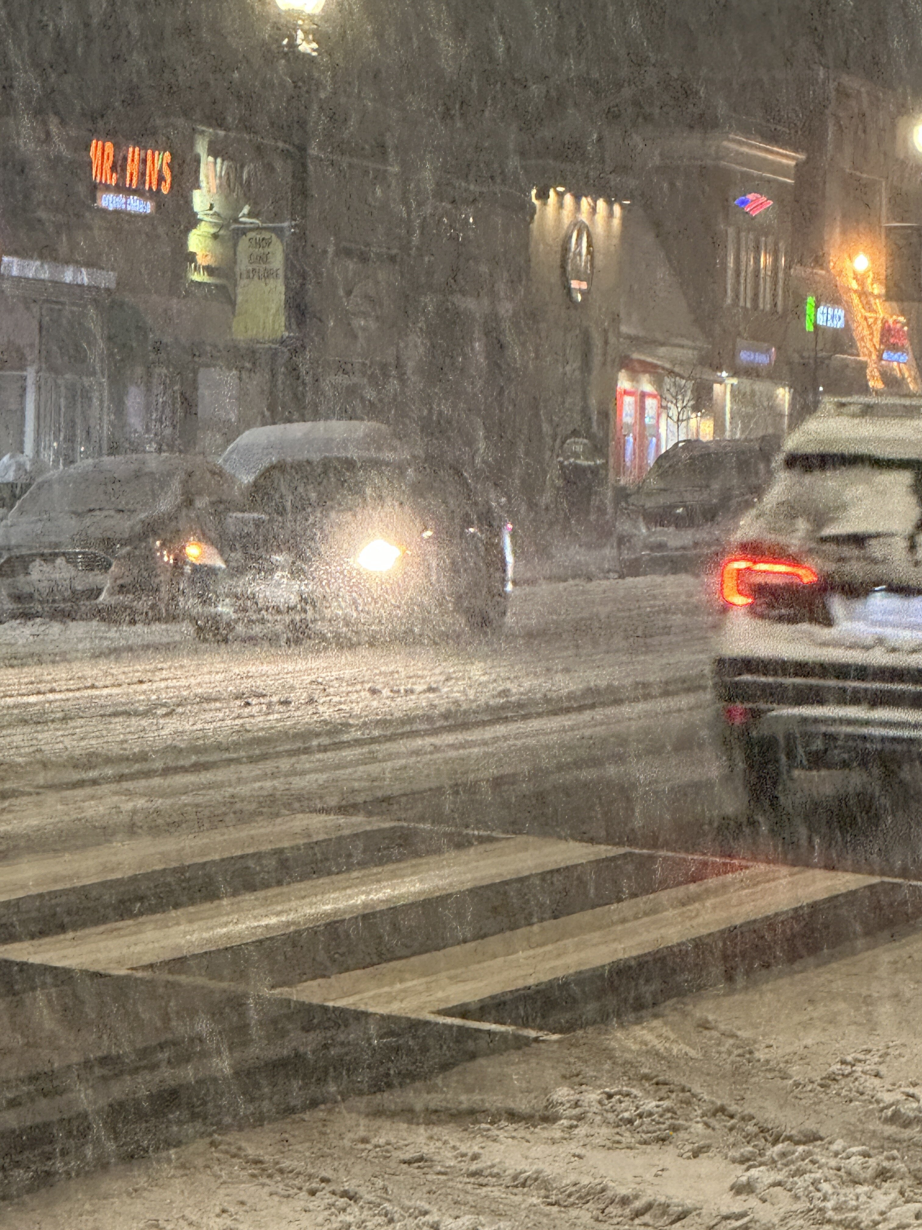
My high traffic street gone. Next up, CT ave.
-
Bout to make an old fashioned. Wish I had mint on hand for a different drink....
-
Hold on. You talking about the snow, right?
-
Looks like INCOMING per radar
-
I think 4" is doable. Might struggle to 6 I think....
-
Ok, so you think that Meso was good for DC. Definitely homering it right now.
-
Radar looks good. There's a small pivot/northern push with those yellows
-
down to 30 here. grass, cars, cats all caving
-
Any update on the HRRR sun light?