-
Posts
168 -
Joined
-
Last visited
Content Type
Profiles
Blogs
Forums
American Weather
Media Demo
Store
Gallery
Posts posted by Luftfeuchtigkeit
-
-
5.6", still all snow, no sleet or rain has mixed in.
-
 1
1
-
-
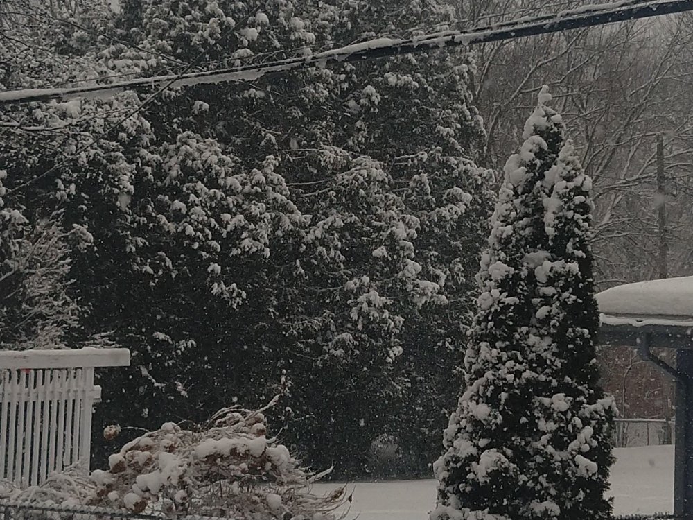
This wet snow is so pretty....5.0" measured.
-
 1
1
-
-
Huge flakes now, 4.6" total. Need to get out and do the hard work of shoveling the driveway before my wife gets home.
-
 1
1
-
-
-
13 minutes ago, CheeselandSkies said:
What part of town are you in? I'm far west side near Mineral Point & the Beltline. @madwx, what are you seeing?
SW by Raymond Rd and Verona Rd.
3.2" now. I think 4-6" is in the bag.
Congrats RGEM on consistently showing higher amounts for us. Most of the other models showed a mix and/or main precip farther north.
-
 2
2
-
-
I just got back from running errands - despite the mid-February sun angle and midday timing, it's coming down hard enough to accumulate pretty well out there. I measured 2.3" when I got back home.
-
 1
1
-
 1
1
-
-
It started with light snow around 9am, but now we're getting big wet flakes. Probably already half an inch down. I was expecting very little with this storm because of the northerly track and mixing with rain, but if it keeps this up very long we're going to get more than expected.
-
 2
2
-
-
Looking like southern WI could get a few inches of snow out of this, but still needs to be pinned down better.
-
 1
1
-
-
2.5" here, a bit more than I expected. Also drifted around nicely.
-
Flurries starting here. Expecting up to 2".
-
-
RGEM and GFS have both moved west with the low track on the 12Z runs, but neither is as far west as the NAM. Farther west position gives Madison more snow. GFS still showing mostly rain which seems wrong, at least around here.
I had 1.3" this morning and it's really pretty. Still very light snow falling and accumulating, very slowly.
-
 1
1
-
-
Wabasha MN is leading so far with 5" .
-
 1
1
-
-
12k NAM looks impressive, but all that precip adds up to all of 0.2-0.3" over 30 hours, so not much. 1-3" snow.
-
Impressive start in Madison. 1.2" at my house between when it started at 3:25pm and 4:15pm. Around 1.5" per hour rate.
-
 1
1
-
-
It's really coming down here - looks like December or January. Some of the major roads even are snowpacked.
An hour ago I measured 3.2" on an elevated surface and 2" on the ground.
-
3.1" on the patio furniture this morning. Grassy surfaces and trees accumulated, but not pavement. Very pretty.
-
 4
4
-
-
32 minutes ago, wisconsinwx said:
Does that include May snows (like in 1990)? I forget what the official daily total was for that freak May snow.
Yes - May snows were less than those - May records are 4.8" on May 3, 1935 in Madison, and 3.2" on May 3, 1935, and also May 10, 1990 in Milwaukee.
-
In southern Wisconsin, the records for most snow this late in the season are 7.8" on Apr. 30, 1994 for Madison, and 5.0" on Apr. 30, 1907 for Milwaukee.
-
6.2" at my house this morning. It's not especially impressive given some of the guidance, but it's pretty. Also it looks like we might still get a couple more inches during the day today.
-
1 hour ago, CheeselandSkies said:
Wow, big time wallop looking likely for central WI. That map above has Madison flirting with double digit totals, although we whiffed on our previous opportunity to hit that single-storm benchmark earlier this winter.
Still, what a turnaround from the bare ground of December and most of the first half of January, although the two thaws were annoying especially the second coming on the heels of the historic polar vortex.This looks like a big storm for Madison with most models showing .75" QPF or more, and should be the biggest snowfall of the winter. I'm approaching it with more skepticism though, because the last storm 8" seemed like a lock, but we ended up with extremely small flake size and 10:1 ratios even with temps in the teens and only 5-6".
This storm my list of things to watch include:
- possible delay of heavy snow onset this evening due to dry air, suggested by HRRR and RAP
- flake size, ratios (thinking ~12:1 with temp of 27?)
- how soon will dry slot push in (4am or will heavy snow hold on longer), also will there be any heavier snow during the day Tuesday
The way it looks right now I think we're good for the 6-9" that NWS is forecasting.
-
 1
1
-
-
Reduced vis. in lgt snow in Madison. Very tiny flake size, about a tenth of an inch accumulation so far.
-
 1
1
-
-
3" at 9pm in Madison. The heavy bands have been missing us just to the south. I'm thinking we'll get around 6" total.
-
 1
1
-
-
.85" last night in my backyard in Madison. Not a ton of rain, but it's been saturated for weeks here and just keeps coming. The area lakes are still less than a foot below the record level they hit a few weeks ago, so if we do happen to get any of the heavier rain in the next week it will be bad news and probably new records.
-
 2
2
-


February 17-18 Snow Potential
in Lakes/Ohio Valley
Posted
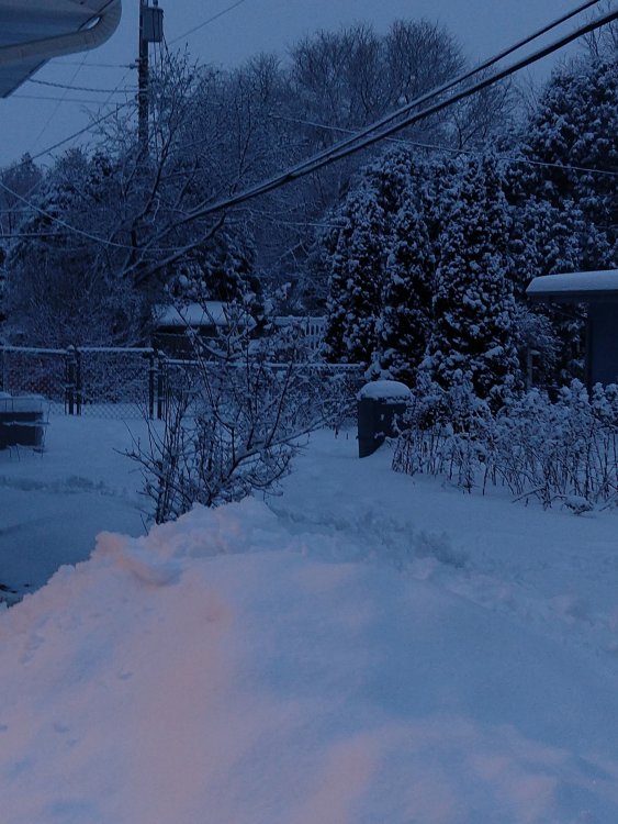
6.0" storm total yesterday, depth is 13". Very pretty snowfall, but wet and tiring to shovel.
Forecast was for 1-3", so this way overperformed. We finally got a winter weather advisory late in the afternoon after most of the snow had already fallen.