
.jpeg.88e30b1573920286ceacf89f239564d2.jpeg)
wolfie09
-
Posts
17,315 -
Joined
-
Last visited
Content Type
Profiles
Blogs
Forums
American Weather
Media Demo
Store
Gallery
Posts posted by wolfie09
-
-
-
Low of 24° this morning..

-
 1
1
-
-

FREEZE WARNING REMAINS IN EFFECT FROM MIDNIGHT TONIGHT TO 8 AM
EDT SATURDAY...

* WHAT...Sub-freezing temperatures in the upper 20s expected.

* WHERE...Lewis county.

* WHEN...From midnight tonight to 8 AM EDT Saturday.

* IMPACTS...Frost and freeze conditions will kill crops, other
  sensitive vegetation and possibly damage unprotected outdoor
  plumbing.
-
Local WU station dropped into the 20s overnight..

-
Frost advisory issued for this evening, should be more wide spread this weekend..
-
Latest hazardous weather outlook..
Below freezing temperatures and widespread frost is possible late
Friday night through Saturday morning and again late Saturday night
through Sunday morning.
Forecast through Monday.. October like..

-
1 hour ago, Thinksnow18 said:
AFD from KBUF is stating low to mid 50's for highs Saturday...first widespread frost Sat night-Sun morning?
Yeah kbuf is going a little on the"warmer" side , atleast according to the P&C, mid-upper 40s for lows at buffalo, they jumped temps here a few degrees to the mid-upper 30s..
-
33 here, body is not accustomed to this yet lol

-
Thursday, the cold front sags south of the region by the afternoon
with surface ridge to our west beginning to build in behind it. Cold
air advection under NW`erly flow will then filter in a much cooler
air mass with H850T falling to +2C/+3C by Friday. Afternoon highs
Thursday will generally be in the low 70s.
High pressure to our west will continue to build in across the Lower
Lakes with tranquil weather during the period. With an unseasonably
cool airmass in place afternoon highs will average 5F to 10F below
normal, with highs in the upper 50s to low 60s. There will also be a
potential for frost, especially Friday night into Saturday with lows
potentially in the low/mid 30s to low 40s that night.
-
At this rate I'm definitely in Lewis county for November, hoping for a nice early season event lol
-
Haha yeah we already had a little frost a couple days ago when temps dropped several degrees below forecast.. Next weekends forecast is showing uppers 50's for highs and mid 30s for lows, we'll see how that plays out..
Still not sure where exactly I'll be living for winter lol Anywhere along 81(just inland) from Watertown to brewerton/Cicero is in play..
-
1
-
-
Frost advisory issued for this evening..
FROST ADVISORY IN EFFECT FROM 1 AM TO 9 AM EDT TUESDAY...

* WHAT...Temperatures in the lower to mid 30s will result in
  frost formation.

* WHERE...Jefferson and Lewis counties.

* WHEN...From 1 AM to 9 AM EDT Tuesday.

* IMPACTS...Frost could kill sensitive outdoor vegetation if
  left uncovered.
-
Low 60's and rain, must be football season..
HWO for potential frost tomorrow night.

-
Some 30s overnight locally, nearest WU station sitting at 34.5°..

-
2
-
-
3 hours ago, BuffaloWeather said:
The Adirondack Leaf change is a week ahead of last year based on the reports up there. I'll be up there Sep 24-29th for my buddies bachelor party. Really excited as they should be near full peak by then. We rescheduled the Dix range (5 peaks) for that weekend, doing an overnight backpacking hike.
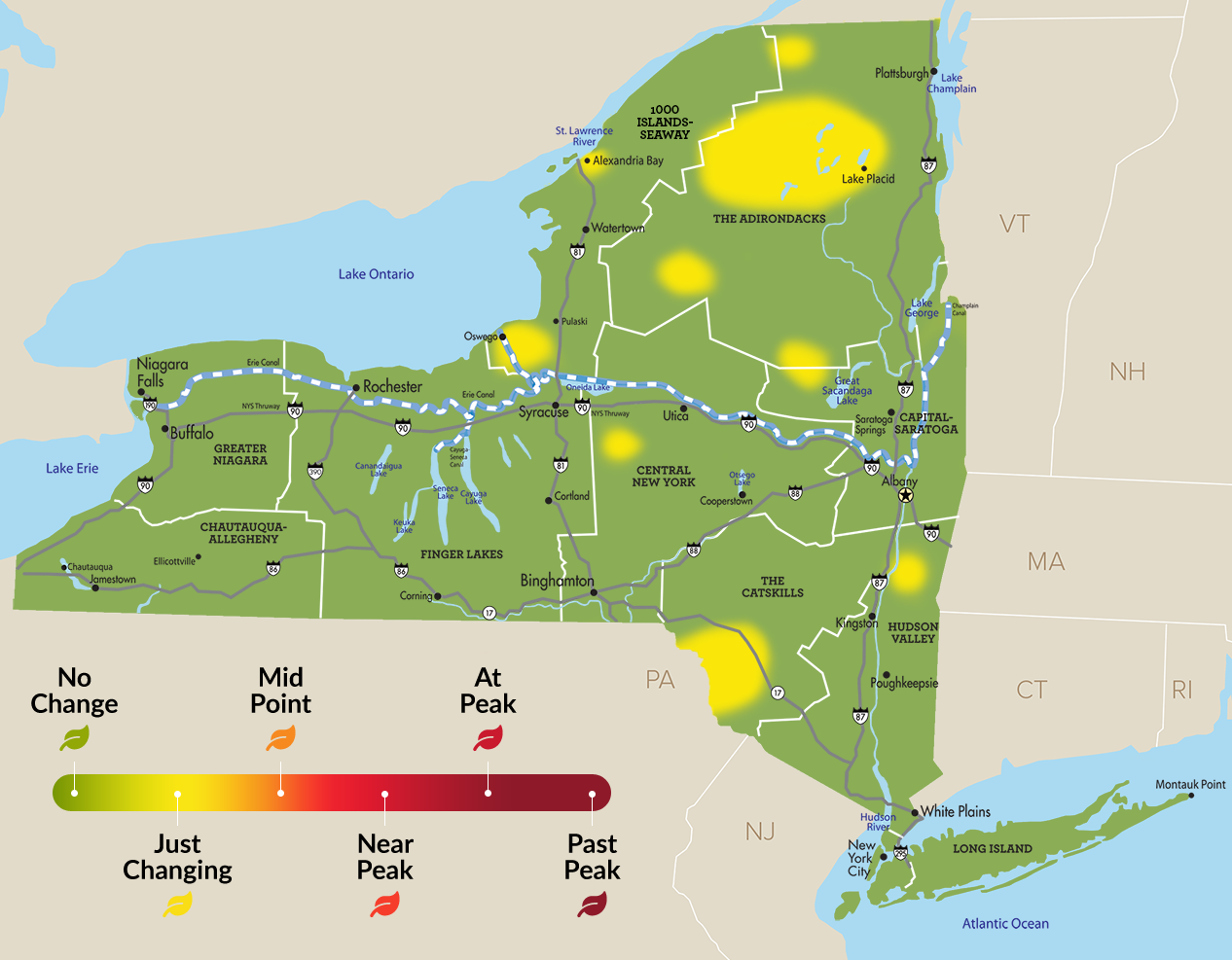
Hmmmm lol Weird to see lower elevations from Oswego to Fulton already changing..
-
Maybe drop into the 30s for the first time? Will be close..Nice looking week either way..

-
Small earthquake in NJ this morning, about a mile away from the in-laws..I was supposed to be there to experience this lol

-
1
-
-
If I don't find a house soon I'll be spending the first part of winter in lewis county lol Not the worst thing in the world, at least for me haha
-
1
-
-
5 hours ago, CNY_WX said:
How close is it to the nuke plant? My niece is a real estate agent and she’s been selling houses like crazy in one day above list price.
About 6 miles or so, pretty much"downtown" scriba..
-
Old lady went for a pre approval through bank of America, never again lol
She went for a conventional loan yet they set her up with an FHA (interest rate 3.75%)lol No sellers want to deal with FHA..She tried to get it switched and they gave her an attitude and said they had no other programs for her..She has good credit (760), good job and good savings lol
Luckily our real estate agent contacted northern credit union who she goes through all the time, they ran her information and offered an 80/20 conventional loan at 3.1%..Due to her good credit the credit union will pay the 20% down payment and we will have a separate small loan..This obviously saves money out of pocket as well as eliminating private mortgage insurance..We can also ask for 6% sellers concession and pay nearly nothing out of pocket for closing but I doubt that's much of an option with the current market lol
-
The house in Altmar appraised at 238k (2018) and I got it for 182k , probably shouldn't of sold it lol It really was hell of a deal..
-
1
-
-
My real estate agent called last night and said people were making offers without even seeing the place lmao The owners won't accept any offers until the weekend showings are finished..
-
Bidding war setting up for this cute house in scriba, heading there Sunday to see if I wanna throw my name in the hat lol

3bd 3ba 2000sq ft on nearly an acre and a half of land, nice screened in porch, fenced in backyard, in ground pool etc... Asking 159k, taxes last year less than 2k, must be haunted haha..
-
1
-
-
Made it down to a crisp 44° overnight..

-
1
-


Upstate/Eastern New York
in Upstate New York/Pennsylvania
Posted
We need to get back to these days lol
Pulaski hasn't had a 200" year since 2010..In the 2000s the"rip off" zone wasn't as prevalent..