

bowtie`
-
Posts
5,935 -
Joined
-
Last visited
Content Type
Profiles
Blogs
Forums
American Weather
Media Demo
Store
Gallery
Posts posted by bowtie`
-
-
Always scary to watch the atmosphere un-zip, like it did from Missouri to Kansas and Oklahoma.
-
7 hours ago, sbnwx85 said:
Storms yesterday did some impressive damage in Laporte County.
https://x.com/nwsiwx/status/1792727617529135390?s=46
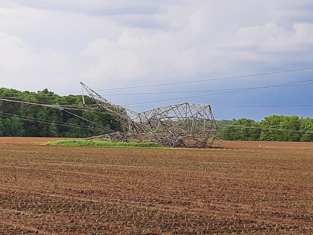
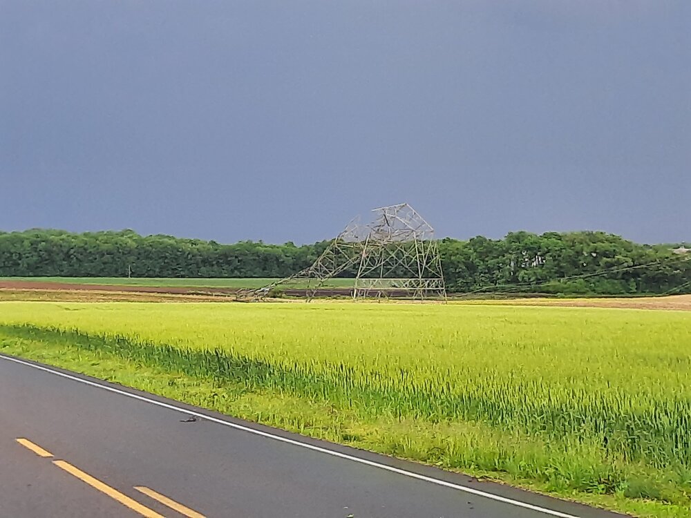
Electrical transmission looks horrible, but the wheat looks great!
-
 1
1
-
-
^ There is someone with a valid complaint about the weather.
-
3 hours ago, Chambana said:
First 90 of the year achieved today in the paign, albeit briefly.
Only 87 at KIND. Still felt hot out in the Sun doing yardwork.
-
On 5/14/2024 at 9:16 PM, bowtie` said:
WooHoo! 1.04" since noon here. and some yellows and orange are still parked overhead. Hoping for 1.25"+. Need every drop so far.
14 hours ago, IWXwx said:1.65" overnight in Huntington. I was just checking CoCoRaHS reports around the state and amounts vary wildly, ranging from under two tenths to over 3.5".
For example, two stations less than 15 miles from here: Columbia City 0.2 NE - 0.26" and Fort Wayne 1.9 SSW - 0.31".
I need to re-think hoping for a little more rain. In the 24 hour span from noon Tuesday to noon Wednesday, I had 3.52" in my tippy bucket. It might be a touch high according to the radar estimates out of KIND, but it is in the ball-park.
-
 2
2
-
-
^ the chicken takes the photo over-the-top.
-
WooHoo! 1.04" since noon here. and some yellows and orange are still parked overhead. Hoping for 1.25"+. Need every drop so far.
-
1
-
-
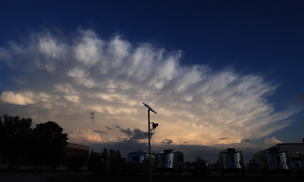
There were sever storms south and east of me on the 7th. This is looking south at the tail end charlie cell. Some nice structure here.
Taken with the 24-70mm at 24mm...

-
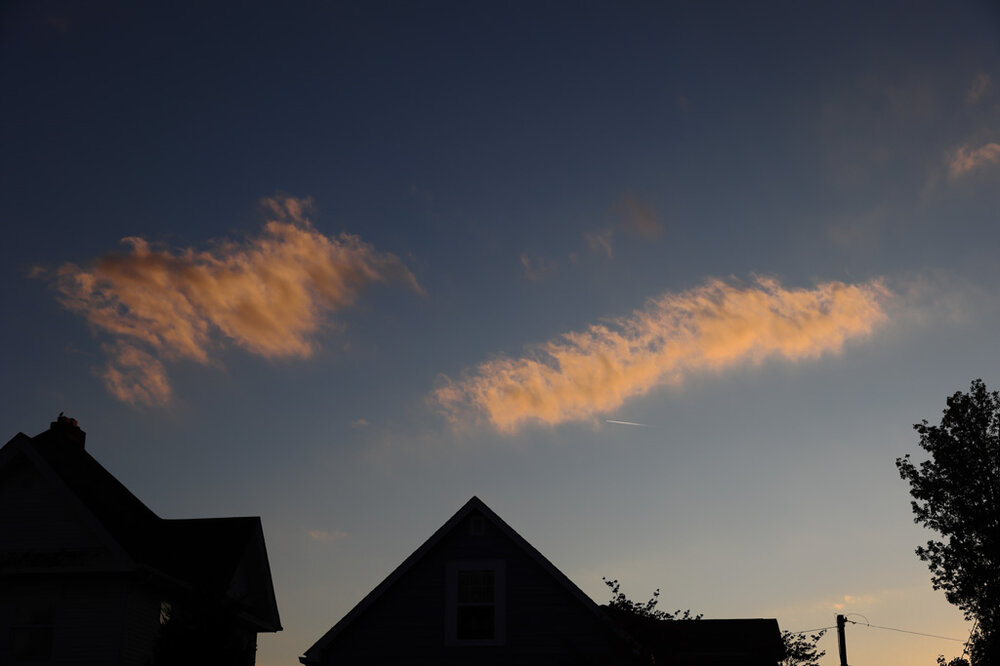
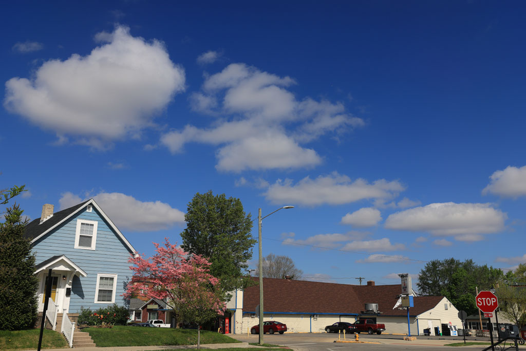
Really late with these. Just a normal sunset on May 1st.
Taken with the 24-70mm at 35mm...
-
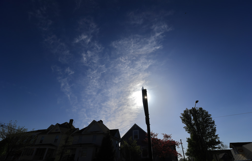
I forgot where I saw it but someone mentioned some smoke in the air recently. On the evening of the 11th, there was a lot of smoke here. Sorry I am so late in getting this out. Finally was able to download the card.
-
3
-
-
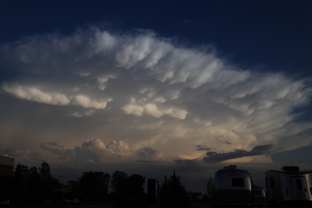
Some nice structure on the tail end charlie dell in central Indiana just south of Indy about and hour and a half ago.

-
9
-
-
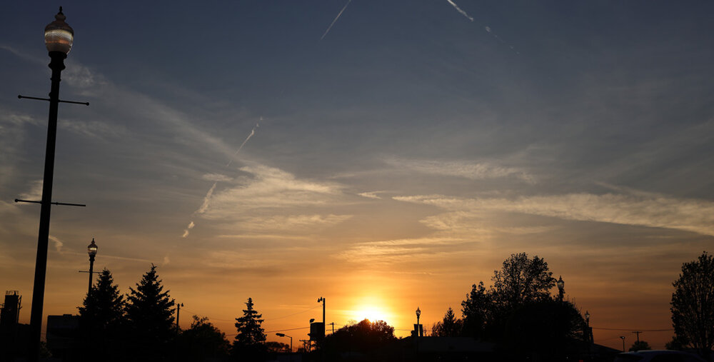
Looks like KIND is going to be over an inch of rain today. Only 0.42" in my tippy bucket as there was no thunder here like at KIND. Did give me a real nice sunset though...
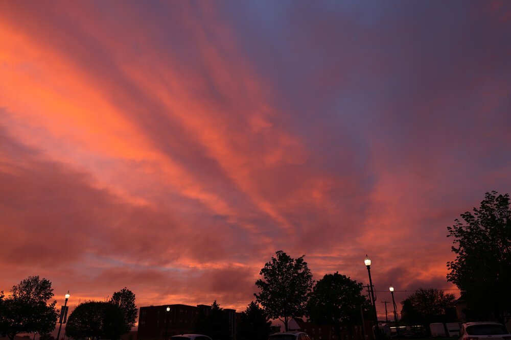
-
5
-
-
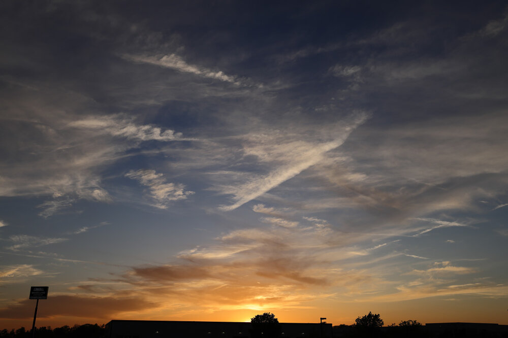
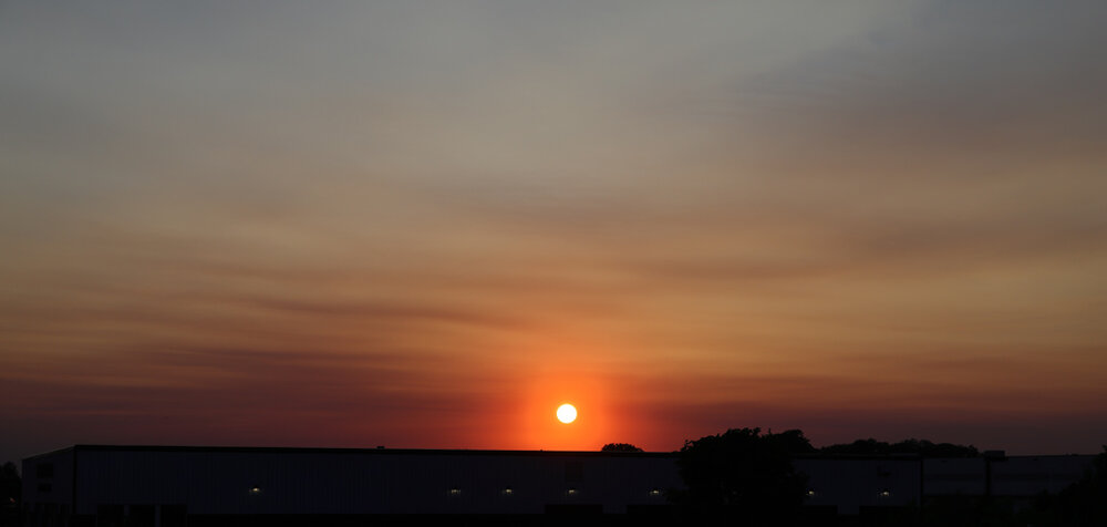
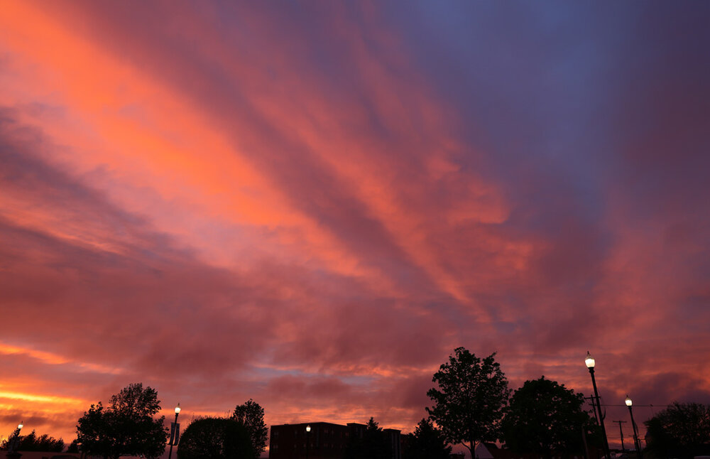
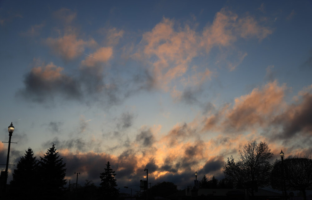
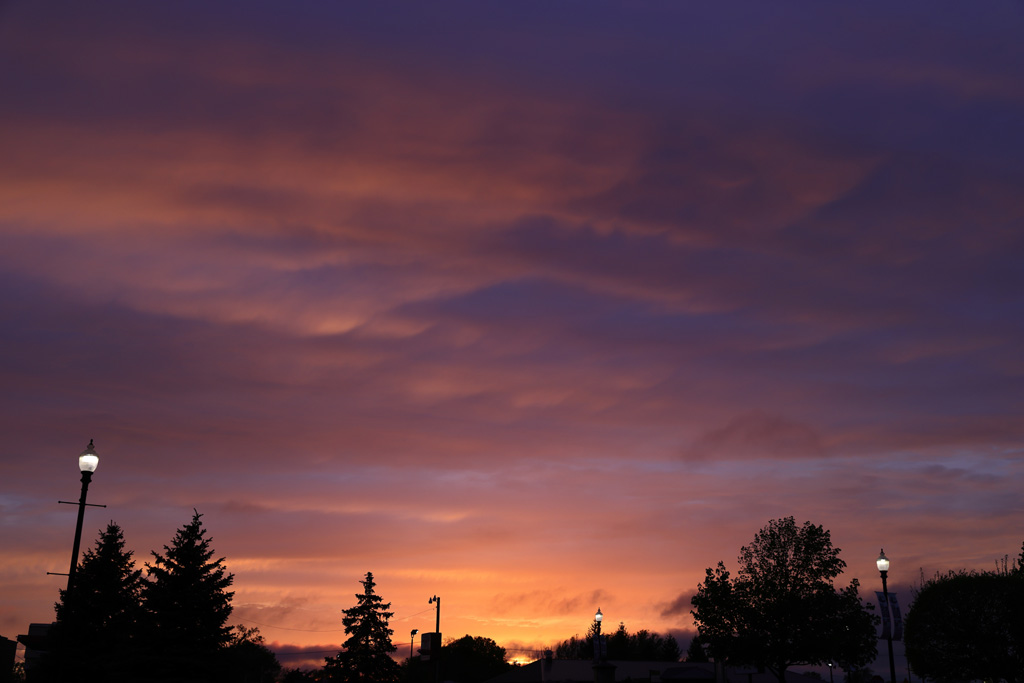
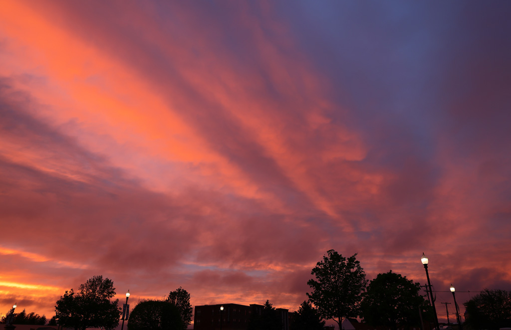
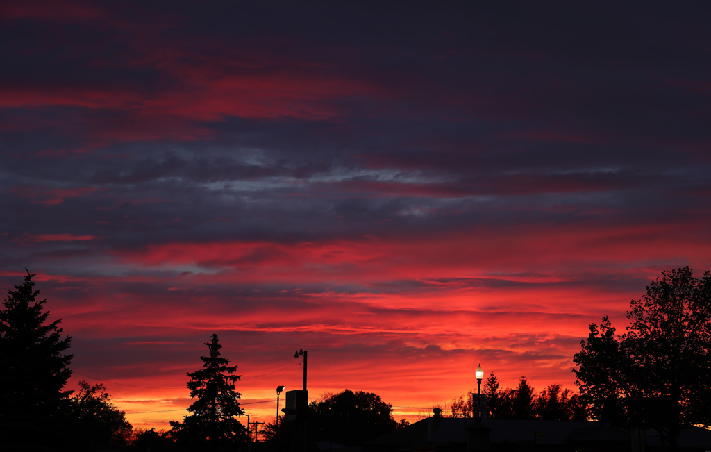
I am going to over-share the sunset this evening. It just happened to be one of those.
A departing system timed out perfect even though I had to be camped out under the umbrella for the first part of it. It was worth it.
As the color started. And normally I would be thrilled with this much. But it was only the appetizer. Taken with the 24-70mm at 39mm...

As the orange started to crank. Looking to the north. Taken with the 24-70mm at 24mm...
Looking southwest as the red was serious getting into the area. Taken with the 24-70mm at 31mm...
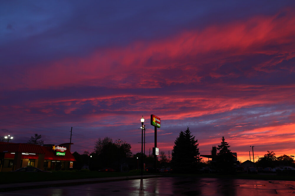
Looking west as the red was departing the area. Taken with the 24-70mm at 70mm...

Good night my darl'in, wherever you are...
-
2
-
-
4-28
The sunrise. Kind of gunked down low but there was some spot lit altocumulus up high. Taken with the 24-70mm at 31mm...
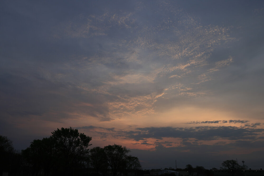
The sunset. Never expected this. I figured the approaching system would have obliterated just about everything. I was wrong. Taken with the 24-70mm at 45mm...
-
1
-
-
After a day of being around a frontal boundary and all the clouds that entails, Around sunset, the clouds took a hike rapidly.
Taken with the 24-70mm at 61mm...

-
1
-
-
This evening was a departing system sunset. Everything as eroding from the top down and not quite as much west to east. The clouds were really hauling also. And my mania for trying to get the colors right, I did not have the camera set to stun. So the blurry clouds are all on me. Taken with the 24-70mm at 44mm...
-
4-21
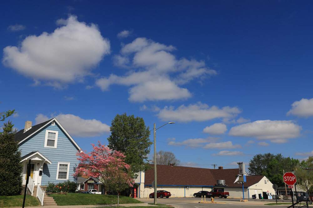
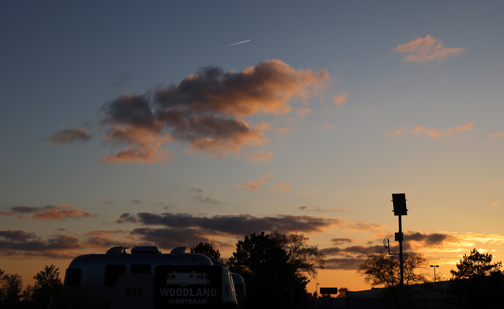
Some morning cumulus as I was right on the western edge of the cumulus shield. Taken with the 16-35mm at 35mm...
A solitary strip of cirrus in the late afternoon. Taken with the 16-35mm at 16mm...

-
4-19
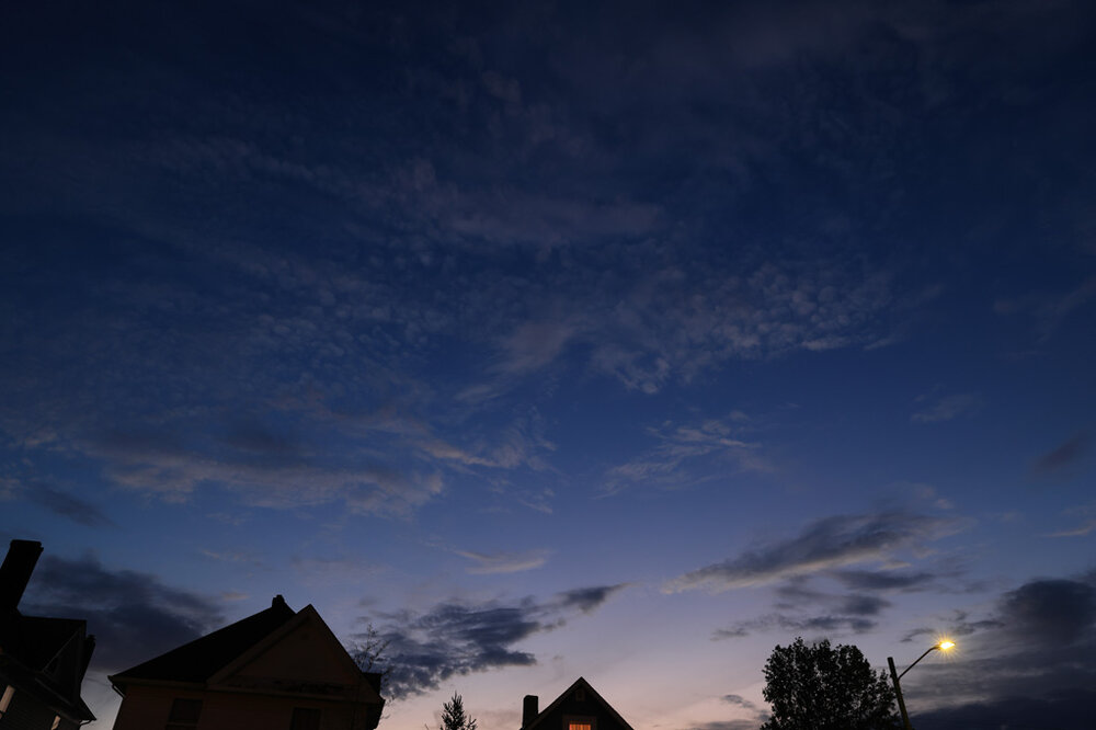
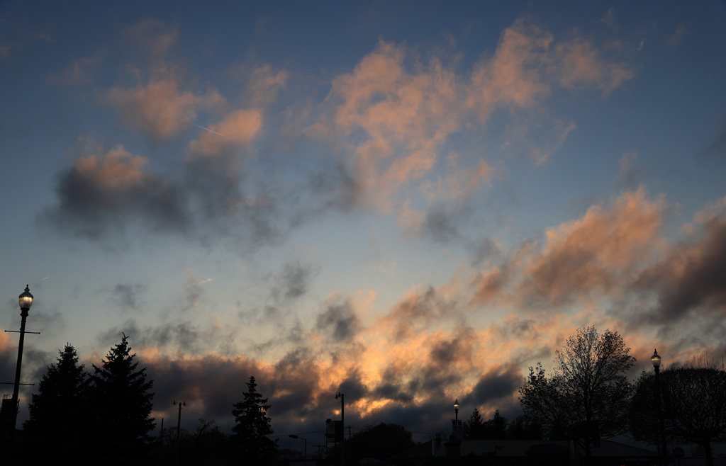
The altocumulus getting some incidental light in the extreme post sunset conditions. Taken with the 24-70mm at 24mm...
-
4-17
Some eroding cumulus getting spot-lit from the setting Sun. Taken ith the 24-70mm at 53mm...
-
Ha! At KPSP when it hit 100 the dew was 36 for a relative humidity of 11% and a heat index of only 95. Too funny.
-
1
-
-
Only 34 at KIND. Not quite as hard on sensitive vegetation.
-
Looks like the bow will be south of I-70 and indianapolis. That is fine by me. Southern Indiana can keep all the severe stuff. No skin off of my nose.
-
-
 1
1
-
-
Just now, Malacka11 said:
Idk if I'm just dumb but I don't have any issue with LOT's radar on radarscope
The radar is fine, I am talking about the time series viewer through the NWS and NOAA. I just checked KEWR and they have been only updating hourly also. Must be a system wide thing. Just wonder if it is accidental or on purpose?


May 20-21 Severe Threat
in Lakes/Ohio Valley
Posted
That tweet say it is a preliminary assessment. That is not necessarily the final call. They even state in the tweet that further tweaks may be made.