

ncjoaquin
-
Posts
1,186 -
Joined
-
Last visited
Content Type
Profiles
Blogs
Forums
American Weather
Media Demo
Store
Gallery
Posts posted by ncjoaquin
-
-
1 hour ago, Buckethead said:
That happened fast.


Sent from my SM-S908U using Tapatalk
Wow!! That is crazy!!! Is that at your place?
-
 2
2
-
-
49 minutes ago, BooneWX said:
Surprised it’s so quiet in here! The GFS laid the hammer for the central mts and points north Friday. Verbatim it was a nice thumping of wet snow, 3-7 inches.
Saw that. Looks higher elevation, but it has some time.
-
32 minutes ago, Met1985 said:
The warmth we have experienced is pretty crazy so far this month. What's our departures currently? Plus 6 or 8? The only cold place in the country currently is the inner mountain west which have been getting hammered by snow for weeks now.
The airport is 6.8 above without even adding in today's +14.
-
1
-
-
GFS throws us a bone next Tuesday. It's probably gone at 18z. Like Met has said, there is at least a chance coming up.
-
2
-
-
42 minutes ago, UnionCountyNCWX said:
![May be an image of map and text that says 'NOAA WPC Total Precipitation (inches] +168 Hours Accumulation --> thru Tue 12Z12MAR2024 Forecast Issuance: 12Z05MAR2024 7-DAY RAINFALL POTENTIAL MAX: 5.20 INCH weathermodels.com 30 14 3.5 0.15 .05'](https://scontent-iad3-2.xx.fbcdn.net/v/t39.30808-6/430057955_974489934046484_8381289293878271330_n.jpg?_nc_cat=111&ccb=1-7&_nc_sid=524774&_nc_ohc=J2-tJoV1fs8AX9_SChL&_nc_ht=scontent-iad3-2.xx&oh=00_AfAWIgSLZu_VNH1pnEOSxNY_yZPQlLS53nFmP8Zuhe49rA&oe=65EC21E1)
I'm blaming you lol
Ha! Ha! I'll take responsibility.
-
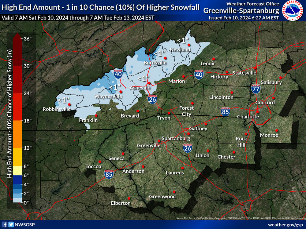
I noticed that on this date in 1969, Asheville had 6.4 inches of snow.
-
2
-
-
22 minutes ago, UnionCountyNCWX said:
Nah, we need to dry out, forget the wet lol
Ha! Ha! I have a well. It always makes me nervous when it gets dry. But, otherwise, I agree with you,lol.
-
47 minutes ago, wncsnow said:
February is likely going to end up below average with rain compared to a very wet January. Water levels are at mid summer levels
February has sucked all the way around. Hopefully, March is wet. That, at least, looks possible.
-
1 minute ago, wncsnow said:
Looks like the GFS backed way off any CAD related mixed precip. Definitely the winter theme. Probably a decent weekend in the 60s for most!
Warm it up! Hopefully, we keep the rain train. It's been a little dry lately.
-
1
-
-
Just now, Met1985 said:
Temps were marginal whenever we had the moisture..not much at the house. You have to get above 4k feet for there to be snow on the ground.
Sent from my SM-G998U using Tapatalk
Nice pics 85! I'm even getting a few flakes here.
-
1
-
-
13 minutes ago, Buckethead said:
Well it didn't take long! Coming down hard!


Sent from my SM-S908U using Tapatalk
That WAS quick !!! Very nice.
-
1
-
-
7 hours ago, Met1985 said:
I do. I just try to be optimistic about things. If you read a lot of the forums it's depressing and really just makes someone not want to post here. So I try to balance things out with a little optimism.
I appreciate the optimism! I'm not always optimistic myself, but try to lean that way. We all know, especially the past 2 winters, that the deck is stacked against us. But I would rather see how it can work than how it won't. Nothing against WNCSnow. He's a good dude.
But, keep up the positive Met1985!
-
2
-
-
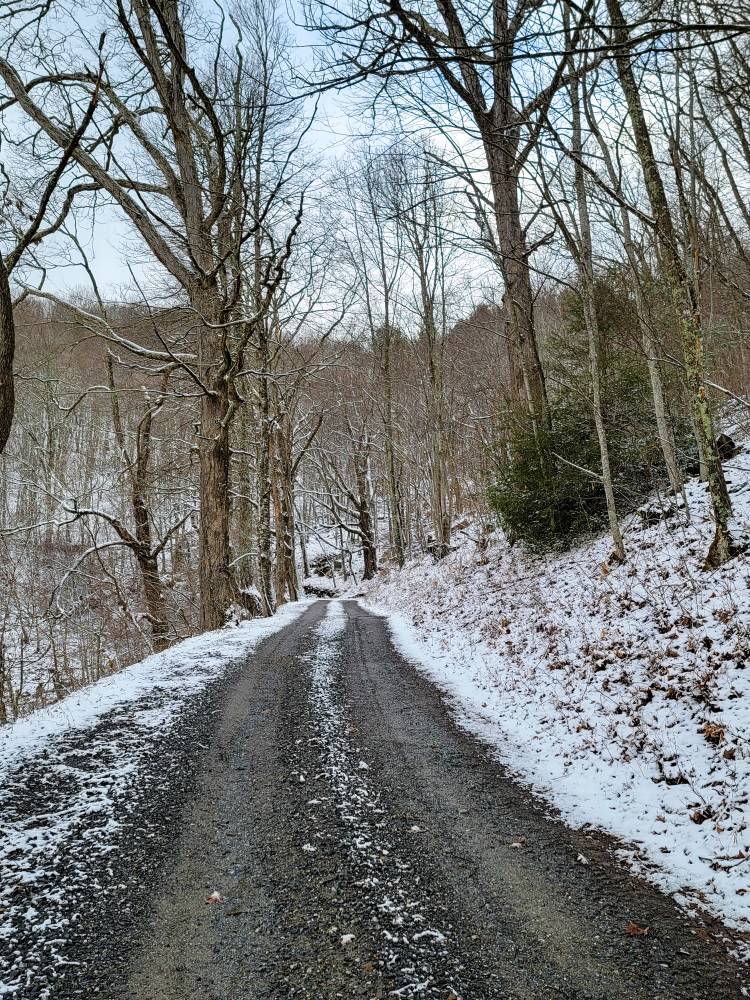
3 minutes ago, WNC_Fort said:
Ummm… snow flurries in Biltmore Village this morning?
Also here in Candler. 2nd biggest snow of the year.
-
4
-
-
And we are back on the Euro. Just when I thought I was out.....
-
2
-
 1
1
-
-
High end forecast for Tuesday morning. So, maybe some flakes in the air. Though the expected forecast is zero. Trying not to give up completely yet. Who knows. It could turn positive again.
-
1
-
-
Oh well. It's not over yet, but the models are definitely not trending in our favor. It looks like another almost zero winter for Asheville. I am sure higher elevations will get some more. Oh well, it is what it is.
I am very happy for the rain. I have a well. I'll take rain over drought. Spring and Summer are coming. Nothing wrong with fishing and beach trips. Maybe I will be surprised, but if not, we will try it again next Winter and hope for a better result.
-
1
-
-
3 hours ago, ncjoaquin said:
0z Euro shows some potential, just a week out as noted by GSP. It will probably change, but it shows the potential is there.
A more southerly
track like the new 06/00z EC suggests heavy rain Monday,
transitioning to wintry precip on the back side Monday night. The
GDPS is similar in track to the EC but not as cold. The GFS timing
would delay peak impacts to Tuesday, but hints at a more marginal
HSLC event.
12z GFS showing a possibility in the same time frame, especially on the border.
-
2
-
-
0z Euro shows some potential, just a week out as noted by GSP. It will probably change, but it shows the potential is there.
A more southerly
track like the new 06/00z EC suggests heavy rain Monday,
transitioning to wintry precip on the back side Monday night. The
GDPS is similar in track to the EC but not as cold. The GFS timing
would delay peak impacts to Tuesday, but hints at a more marginal
HSLC event.
-
2
-
-
I can be negative. I know I can. I get it. There has been very little or none valley and low land snow But the constant negativity and warm weather trolling wears me out.
Hopefully, we get some snow soon. I will be disappointed if we don't. But dang.... It will snow again one day.
-
4
-
-
56 minutes ago, Tyler Penland said:10 hours ago, Met1985 said:We will score again.
Oh yeah I'm not super concerned. Hell even if we don't I'm good with this winter. Beat the crap out of last year.
It has not beat the crap out of it here. An inch last year, with a 1/2 inch this year. But..... I feel really good about the backend of winter. Everything looks about as good as it can look. We've been plenty cold enough. We have had copious moisture. We just need both things to kindly occur at the same time. I think that happens. I'm looking forward to it.
-
2
-
-
Just now, Maggie Valley Steve said:
Good grief! 2 Feet of snow + for Haywood County early next week.
.thumb.png.e3e6d6dd87bd8f21b4ec56292ac34062.png)
Let it be so, lol. A lot of model ups and downs.
-
2 minutes ago, wncsnow said:
Let this happen and I will be positive the rest of the year
.thumb.png.9847ad9c29464079cec125a60b0583d0.png)
I'll hold you to it, lol. Me too!
-
1
-
-
Looks like upper elevations stand a good shot of more snow Tuesday night and Wed morning!!! If we can throw in some Feb and March snow to the mix, it will be an excellent winter for you guys.
-
29 minutes ago, wncsnow said:
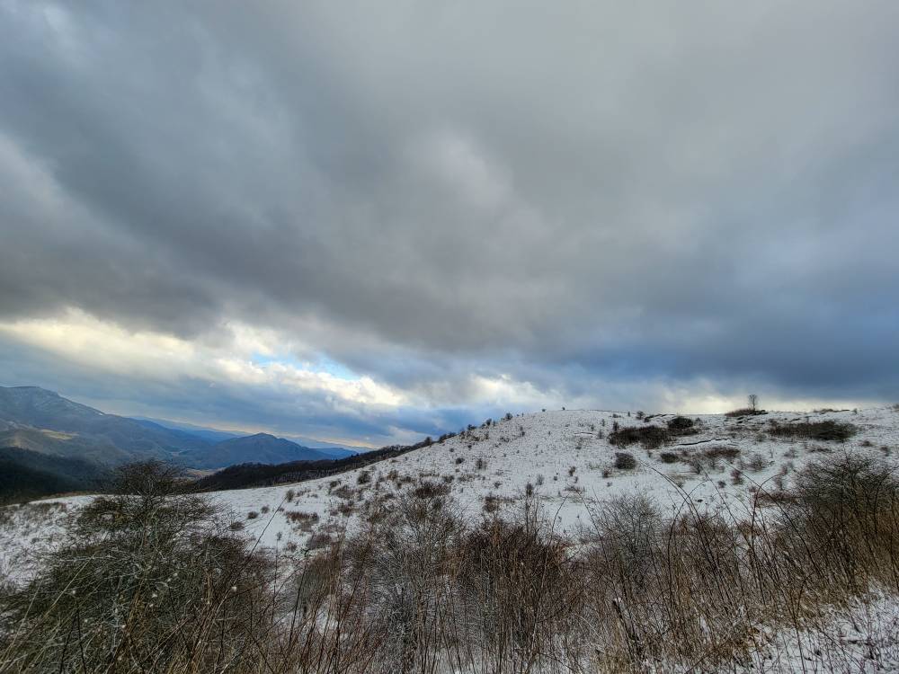
It's chilly but not cold. You can feel a touch of spring in the air. No snow in Asheville, too warm. Wild in late January that you get a good NWFS and it's rain or mix except 3k and up.
I can see a mountain no more than 200 feet above my elevation and you can see the trees in snow and snow falling. Ridiculous. I guess snow drought begets snow drought. Oh well, on to the next one.
-
1
-

.png.ea595206d7a5199d4d4cf03719ee542f.png)
.png.de01753f0e6b8d54d9615613b1132d89.png)
2024 Spring/Summer Mountain Thread
in Southeastern States
Posted
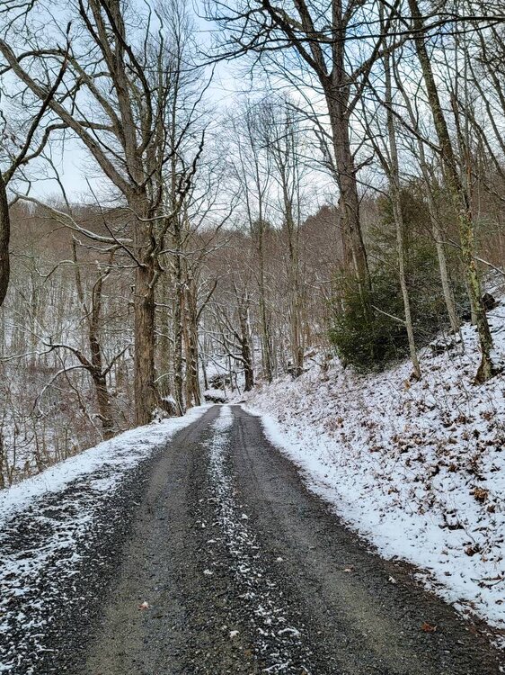
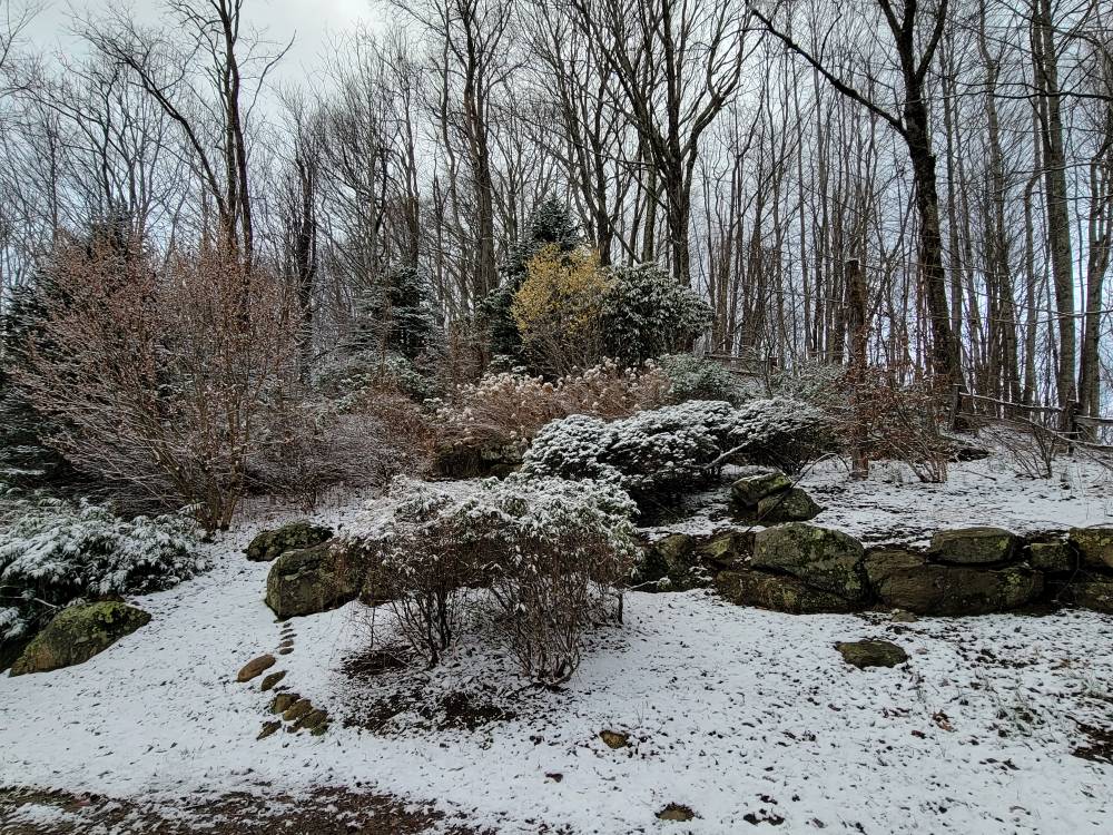
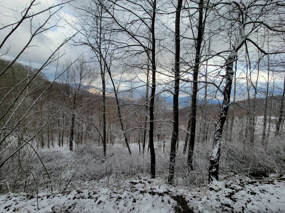
That is amazing. So cool!! Great pictures.