

Rjay
-
Posts
28,400 -
Joined
-
Last visited
About Rjay

-
Fairly well. There wasn't much severe wx
-
There is one
-
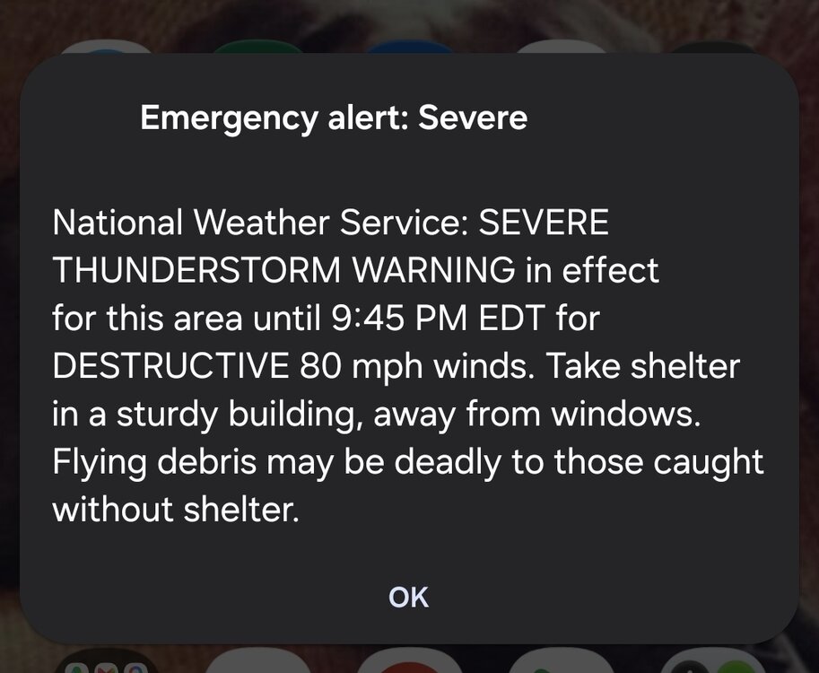
Actually a pretty strong strom here
-
Added another 0.45 since this morning.
-
This will be off by 5" in my area
-
0.47" so far. Not expecting much more
-
Was watching morons shoot off fireworks into the strong winds and they were getting blown sideways
-
They never stopped even when it was windy and pouring
-
I think OKX radar went out
-
-
Scroll through this https://mesowest.utah.edu/cgi-bin/droman/meso_base_dyn.cgi?stn=KACY&unit=0&timetype=LOCAL
-
There is nothing tolerable about this lol
-
They have 84 as the min.
-
89 here at 9am
-
Must be some bad flooding west of Chicago


