BretWx
-
Posts
1,453 -
Joined
-
Last visited
Content Type
Profiles
Blogs
Forums
American Weather
Media Demo
Store
Gallery
Everything posted by BretWx
-

2021-2022 Fall/Winter Mountains Thread
BretWx replied to BlueRidgeFolklore's topic in Southeastern States
Also, just looking at a solid 24+ hours of snow has me thrilled. It has been a WHILE. -
2021-2022 Fall/Winter Mountains Thread
BretWx replied to BlueRidgeFolklore's topic in Southeastern States
Have never seen so many runs in a row showing 12+ IMBY. 12z GFS has me at 16. -
2021-2022 Fall/Winter Mountains Thread
BretWx replied to BlueRidgeFolklore's topic in Southeastern States
This is starting to feel like one for the books. Going to fill some propane today and get some gas for the generator, haha. -
2021-2022 Fall/Winter Mountains Thread
BretWx replied to BlueRidgeFolklore's topic in Southeastern States
6z EURO is about to smoke us 12+ across the board… still snowing into Monday morning. -
2021-2022 Fall/Winter Mountains Thread
BretWx replied to BlueRidgeFolklore's topic in Southeastern States
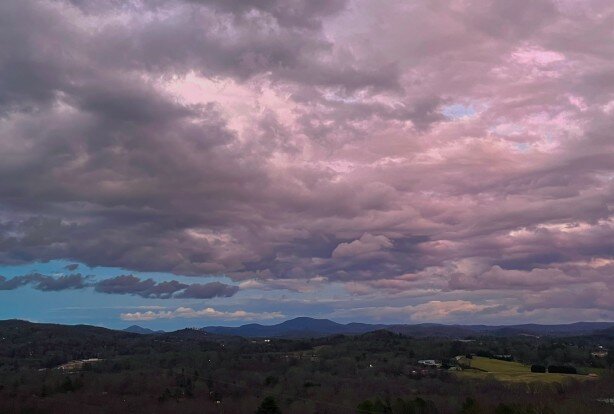
What a sight to wake up to (again!) - Let’s reel it in!! -
2021-2022 Fall/Winter Mountains Thread
BretWx replied to BlueRidgeFolklore's topic in Southeastern States
Keeps getting better. -
2021-2022 Fall/Winter Mountains Thread
BretWx replied to BlueRidgeFolklore's topic in Southeastern States
Oh damn... -
2021-2022 Fall/Winter Mountains Thread
BretWx replied to BlueRidgeFolklore's topic in Southeastern States
Seems faster w/ snow breaking out Saturday evening. Looks like a solid ~8-10 hours of snow before any p-type issues. -
2021-2022 Fall/Winter Mountains Thread
BretWx replied to BlueRidgeFolklore's topic in Southeastern States
GFS through Monday 4A: -
2021-2022 Fall/Winter Mountains Thread
BretWx replied to BlueRidgeFolklore's topic in Southeastern States
Just got back from a 4 hour drive for work, was ITCHING to see what the EURO showed. Beautiful. And we're approaching within 90 hours... Fun few days ahead! -
2021-2022 Fall/Winter Mountains Thread
BretWx replied to BlueRidgeFolklore's topic in Southeastern States
HARD PASS. -
2021-2022 Fall/Winter Mountains Thread
BretWx replied to BlueRidgeFolklore's topic in Southeastern States
Still feeling hopeful after that EURO run. Everything's still on the table. And we're 90hr out. -
2021-2022 Fall/Winter Mountains Thread
BretWx replied to BlueRidgeFolklore's topic in Southeastern States
6z GFS ouch - Sleet storm! -
2021-2022 Fall/Winter Mountains Thread
BretWx replied to BlueRidgeFolklore's topic in Southeastern States
Agreed. Beautiful run. Lets keep those on our side! -
2021-2022 Fall/Winter Mountains Thread
BretWx replied to BlueRidgeFolklore's topic in Southeastern States
Yeah, I want to see this stop jogging north. HOWEVER, another beautiful run. -
2021-2022 Fall/Winter Mountains Thread
BretWx replied to BlueRidgeFolklore's topic in Southeastern States
Sweet Jesus. -
2021-2022 Fall/Winter Mountains Thread
BretWx replied to BlueRidgeFolklore's topic in Southeastern States
Phew. (Copied from other thread) -
2021-2022 Fall/Winter Mountains Thread
BretWx replied to BlueRidgeFolklore's topic in Southeastern States
It has been a while since I've seen this much consistency.... Let's GO! -
2021-2022 Fall/Winter Mountains Thread
BretWx replied to BlueRidgeFolklore's topic in Southeastern States
CMC another hit for WNC. -
2021-2022 Fall/Winter Mountains Thread
BretWx replied to BlueRidgeFolklore's topic in Southeastern States
12z GEFS panels show 17 majors for WNC. -
2021-2022 Fall/Winter Mountains Thread
BretWx replied to BlueRidgeFolklore's topic in Southeastern States
LOL (Queue not sleeping for the rest of the week) Causally dropping 22in IMBY. -
2021-2022 Fall/Winter Mountains Thread
BretWx replied to BlueRidgeFolklore's topic in Southeastern States
Just a gorgeous run.... Hate to see it so early. Show me this on Friday, PLEASE. ~20 hours of snowfall for most of the board. -
2021-2022 Fall/Winter Mountains Thread
BretWx replied to BlueRidgeFolklore's topic in Southeastern States
LFG! -
2021-2022 Fall/Winter Mountains Thread
BretWx replied to BlueRidgeFolklore's topic in Southeastern States
Looks good so far. Been burned by the GFS twice so far recently so I’m cautiously optimistic.. I’ll start feeling better on Thursday/Friday, ha! -
2021-2022 Fall/Winter Mountains Thread
BretWx replied to BlueRidgeFolklore's topic in Southeastern States
5 minutes of graupel... now all rain


