OrangeCTWX
-
Posts
5,283 -
Joined
-
Last visited
Content Type
Profiles
Blogs
Forums
American Weather
Media Demo
Store
Gallery
Everything posted by OrangeCTWX
-
 Too early for blue thickness up in Canada lol
-
Same here
-
Would be sad if so! There is a mini golf course there right next to the river that closest for two years after the last historic flooding event, it literally just reopened last week.
-
Nice! Glad I turned the AC off and opened the windows before I left lol
-
In Dorset, VT until Sunday. 55F compared to 70F back home. Got to imagine we get into the 40s tonight. Crazy for July
-
From a poster in the NYC sub forum. Pine Brook NJ area https://www.facebook.com/share/v/1LBqWnZM5i/
-
My wife works in East Hanover but thankfully she didn’t go into the office today. But she said their office is all going into the basement. Can see why based off of the radar signature.
-
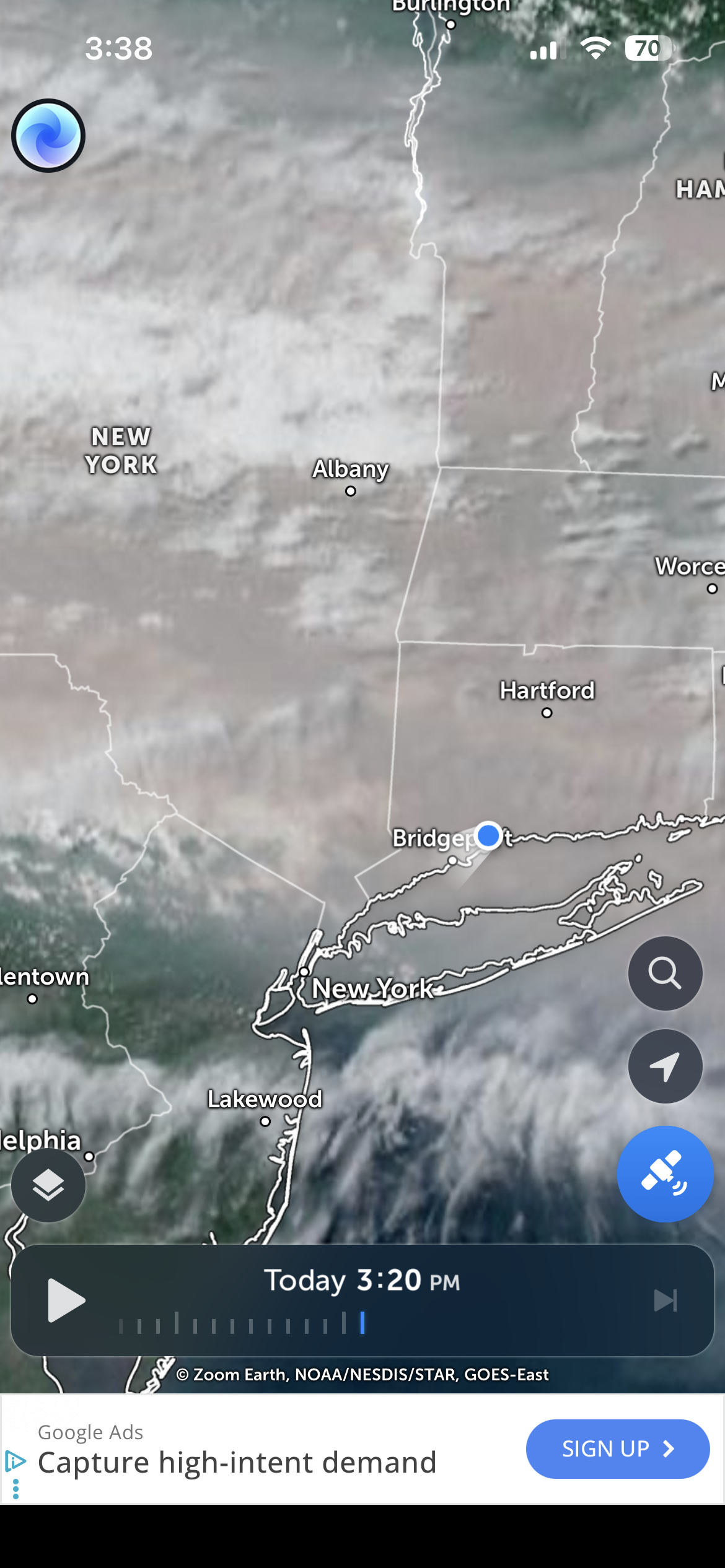
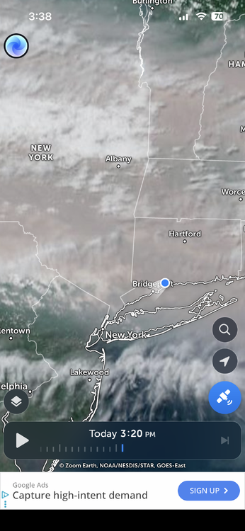
That’s quite the storm south of Milford in the LI sound. Possibly some rotation too? Or maybe I’m just seeing things.
-
Also I think the storm off the coast may be taking some of the heaviest stuff with it. Still raining quite heavy though lol
-
Seems kinda similar to the flooding the area got from the remnants of Ida back in I think it was 2021?
-
Ya the Fairfield area looks like it’s taking a beating right now.
-
Big time rain is right on my doorstep.
-
Saturday, July 18, 2026 Thunderstorm/Severe Weather Potential
OrangeCTWX replied to weatherwiz's topic in New England
Was in NYCA for fanaticsfest today. Man they were getting clobbered for a while around noonish. But looks like we got about 1.50 inches of rain back home, but no severe per my wife. Bleh. -
87F in Washington DC at 1am. Gotta imagine the smoke is playing a part in that?
-
That’s quite the storm down in SE NJ
-
Been stuck in the smoke since yesterday late morning. Looks like we get a reprieve tomorrow though.
-
Just went for a three mile run. Honestly wasn’t too bad. Didn’t feel any different than a normal run. Though it also doesn’t feel quite as smoky as yesterday was at this moment? Also it looks like GOES-19 is back online.
-
GOES-19 is down indefinitely, aka the only way I know of via satellite to follow where the smoke is. Go figure lol
-
I checked my weather station. The heavy smoke came in around 1:00, temp dropped from 89.6 at 1:00 to 85 by 1:30.
-
Yes the worse of it is approaching the NYC metro area. Thinking tomorrow will be even worse too.
-
Got noticeably worse here the last few hours. Think you guys in NYC area aren’t in the full brunt of it yet.
-
90F dewpoint of 75 and smoke everywhere. Can’t believe some of you psychos actually like this lol
-
Nice blue sky here but that won’t be lasting for much longer.
-
Gotta keep an eye on the wildfires up there in Canada forming and potential smoke implications to follow.
-
Hoisting the Sultan Signal: Heavy Rain Event July 5-7
OrangeCTWX replied to WxWatcher007's topic in New England
4.2 here. Has lightened up though. Is that a kiddie pool you are measuring with? Lol